Project
Community
News
My App
My maps
Katalogisierte Karte
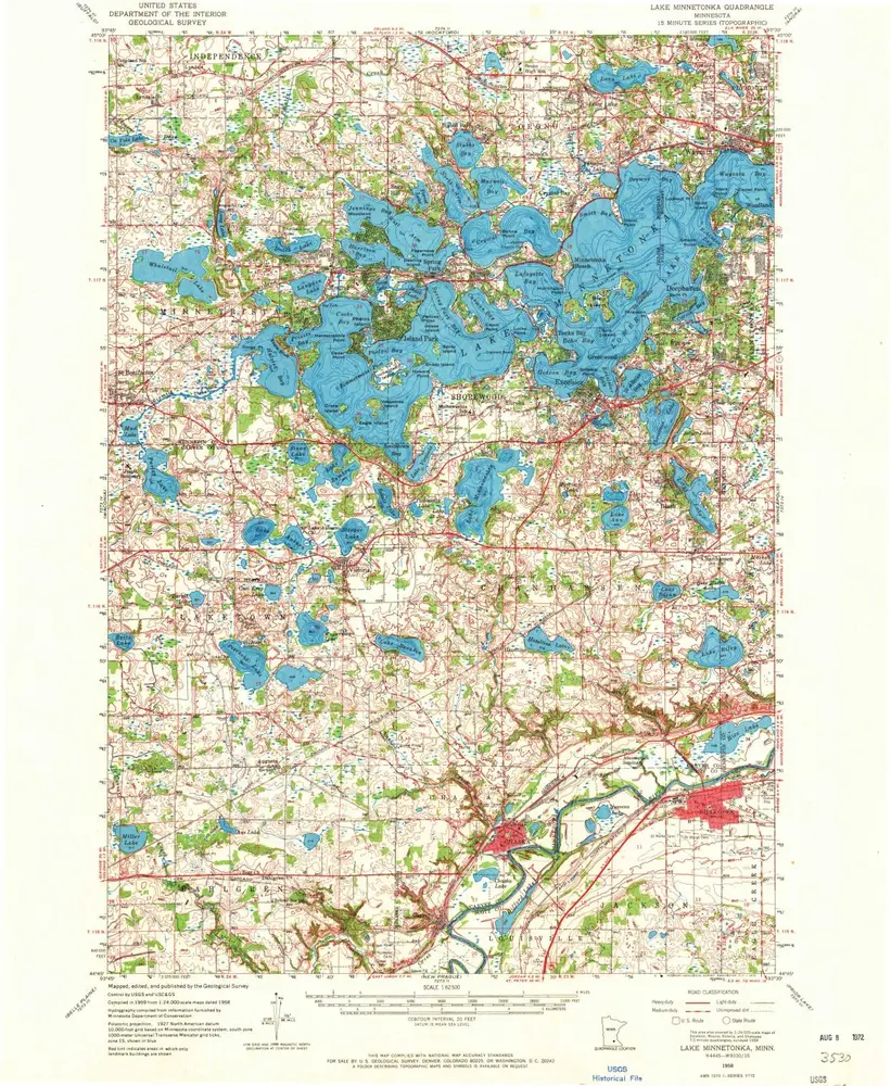
Lake Minnetonka
View on external website
View digitized
Einrichtung:
United States Geological Survey
Vollständiger Titel:
Lake Minnetonka
Jahr der Abbildung:
1958
Veröffentlichungsdatum:
1972
Maßstab der Karte:
1:62 500
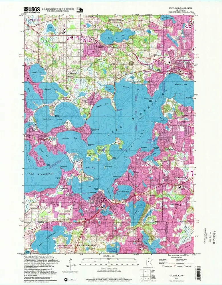
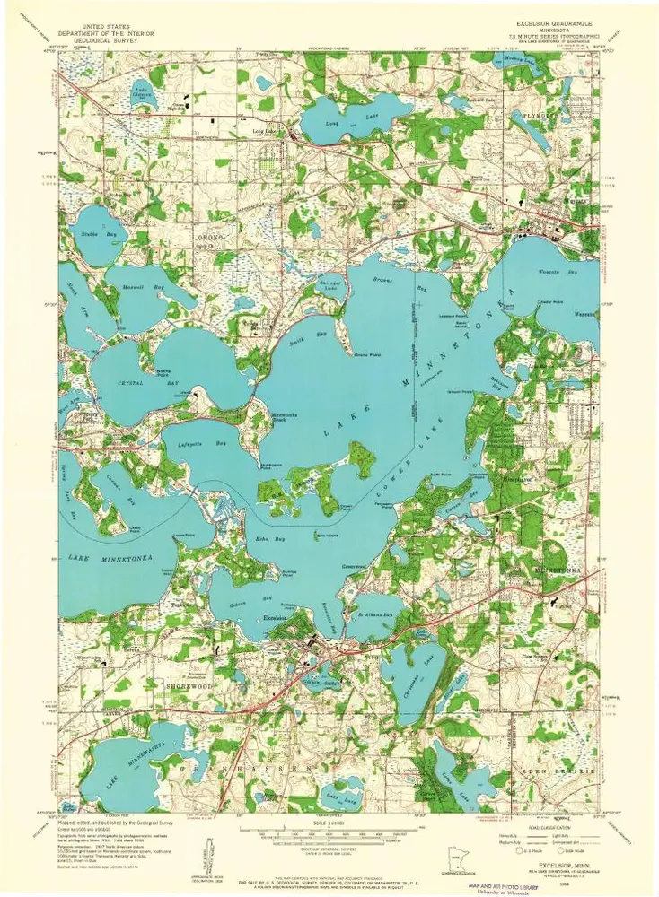
Excelsior
1997
1:24k
Excelsior
1958
1:24k
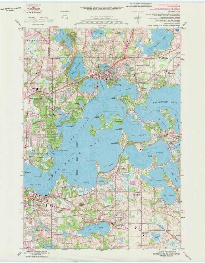
Excelsior
1958
1:24k
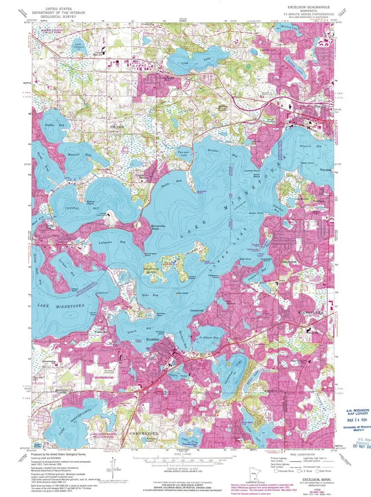
Excelsior
1958
1:24k
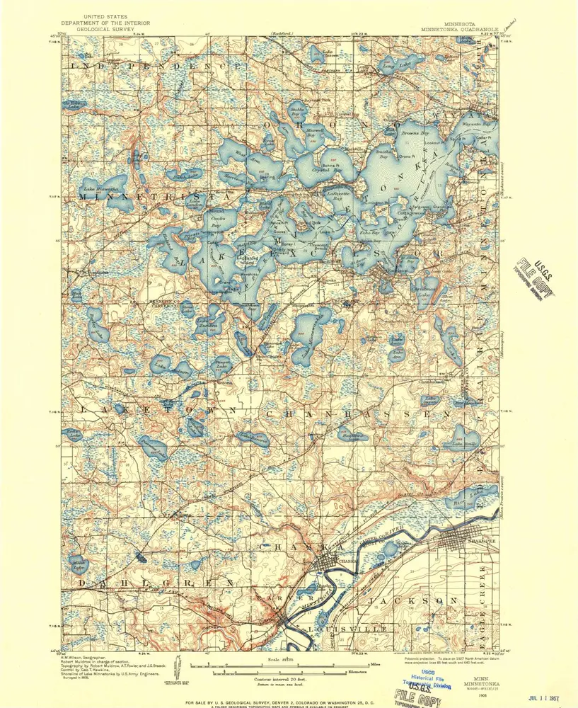
Lake Minnetonka
1958
1:63k
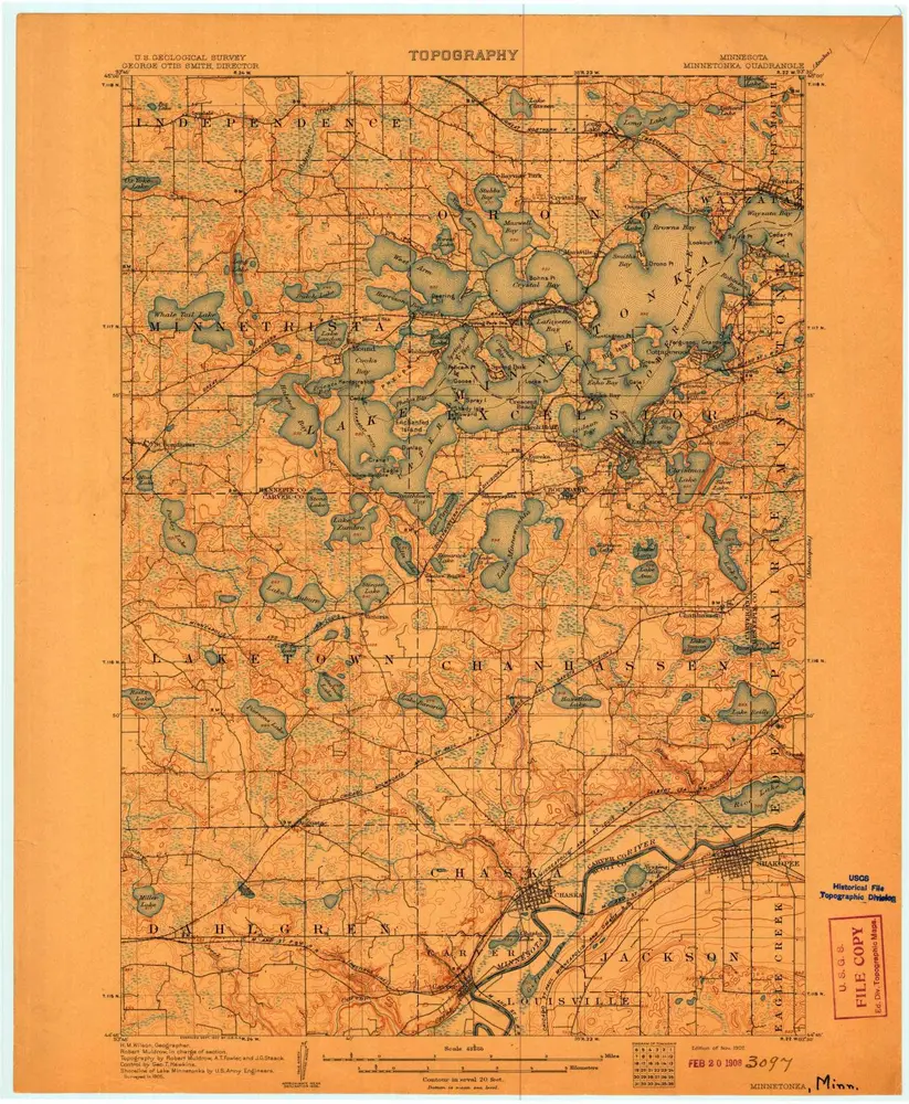
Minnetonka
1907
1:63k
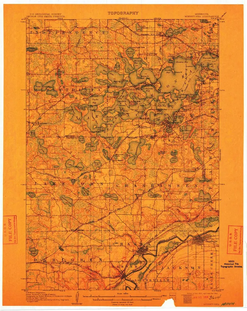
Minnetonka
1907
1:63k
Minnetonka
1907
1:63k
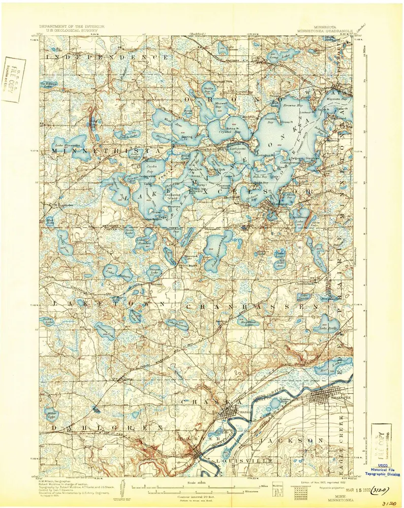
Minnetonka
1905
1:63k
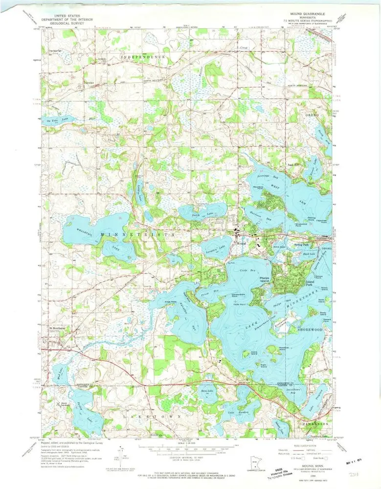
Mound
1958
1:24k
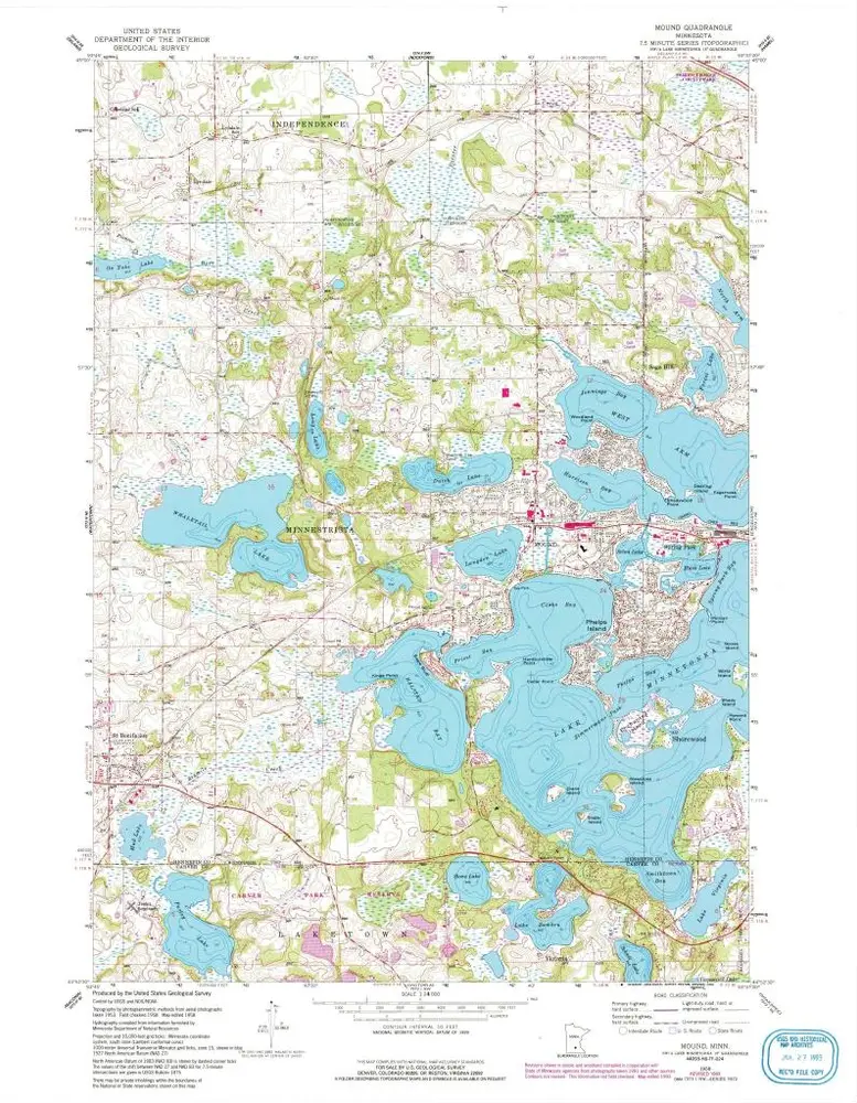
Mound
1958
1:24k
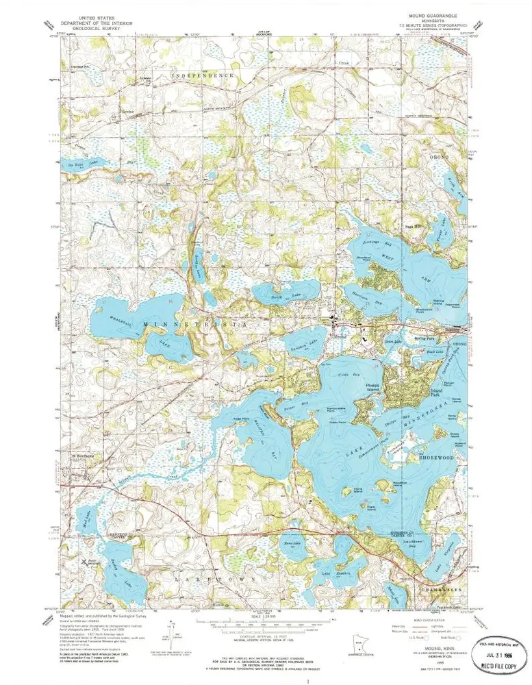
Mound
1958
1:24k
Mound
1958
1:24k
Geschichte