Project
Community
News
My App
My maps
Cataloged map
Kellys Pond
View on external website
View digitized
Institution:
United States Geological Survey
Full title:
Kellys Pond
Depicted:
1950
Map scale:
1:24 000
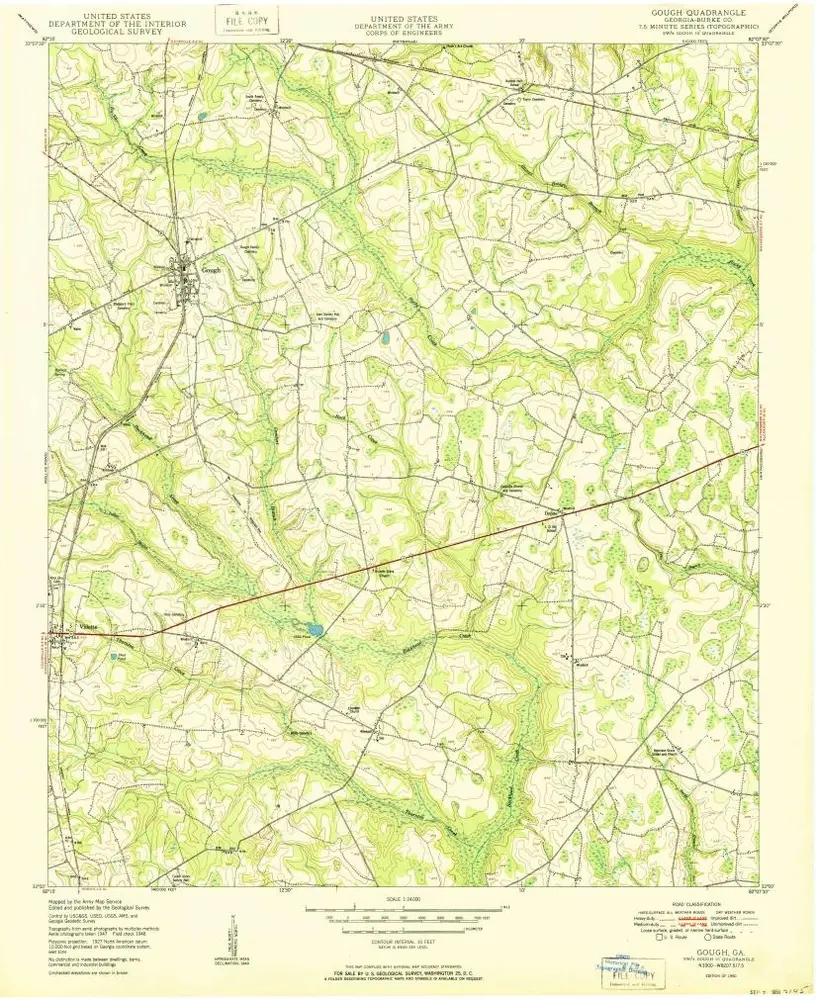
Gough
1950
1:24k
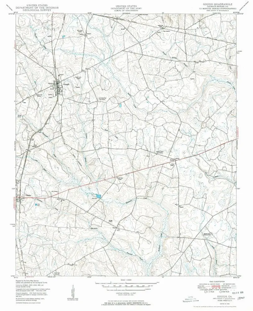
Gough
1950
1:24k
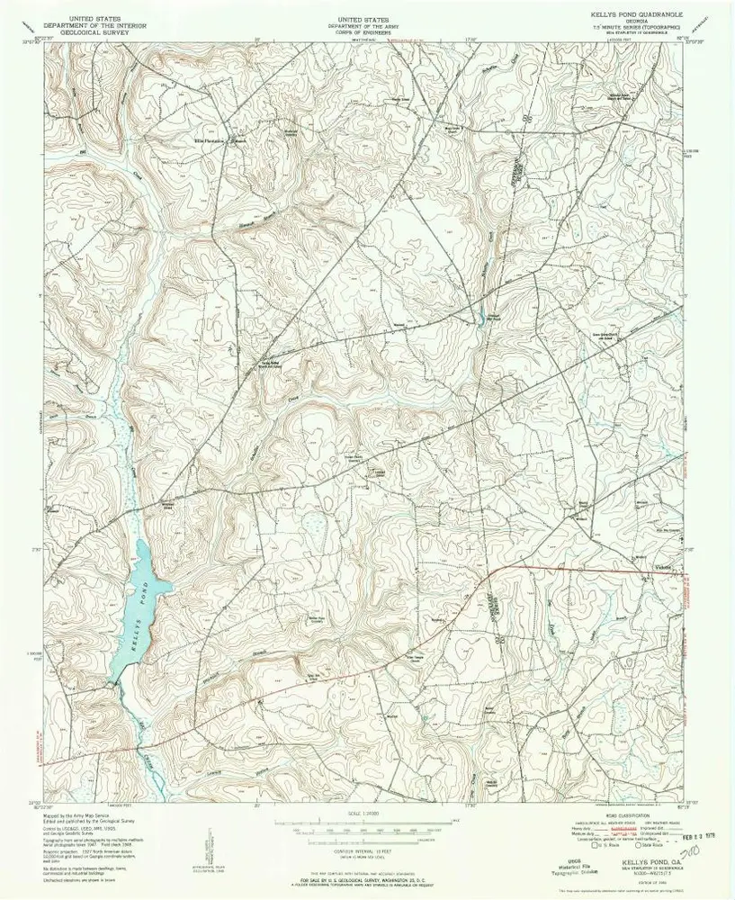
Kellys Pond
1950
1:24k
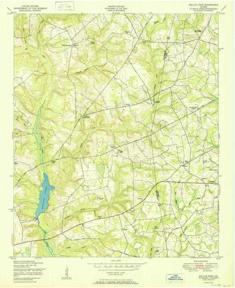
Kellys Pond
1950
1:24k
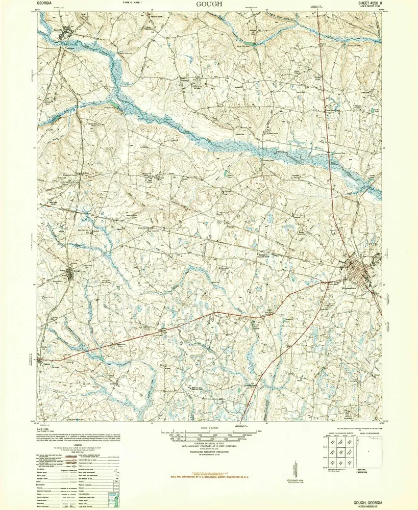
Gough
1948
1:63k
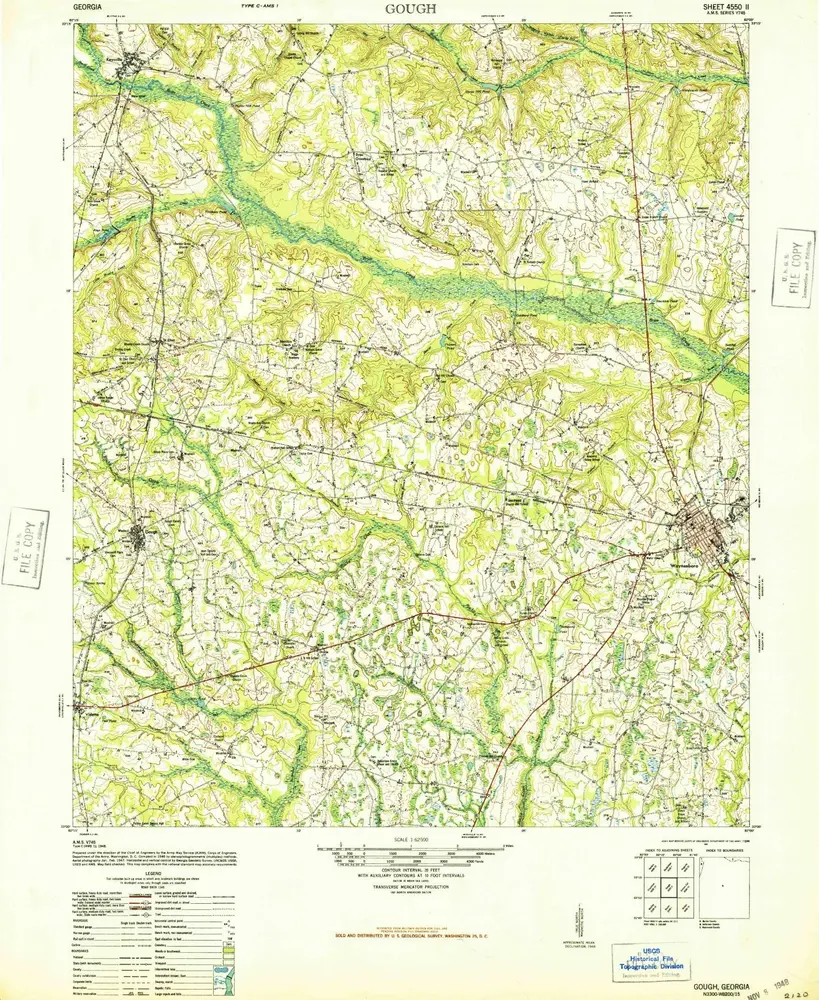
Gough
1948
1:63k
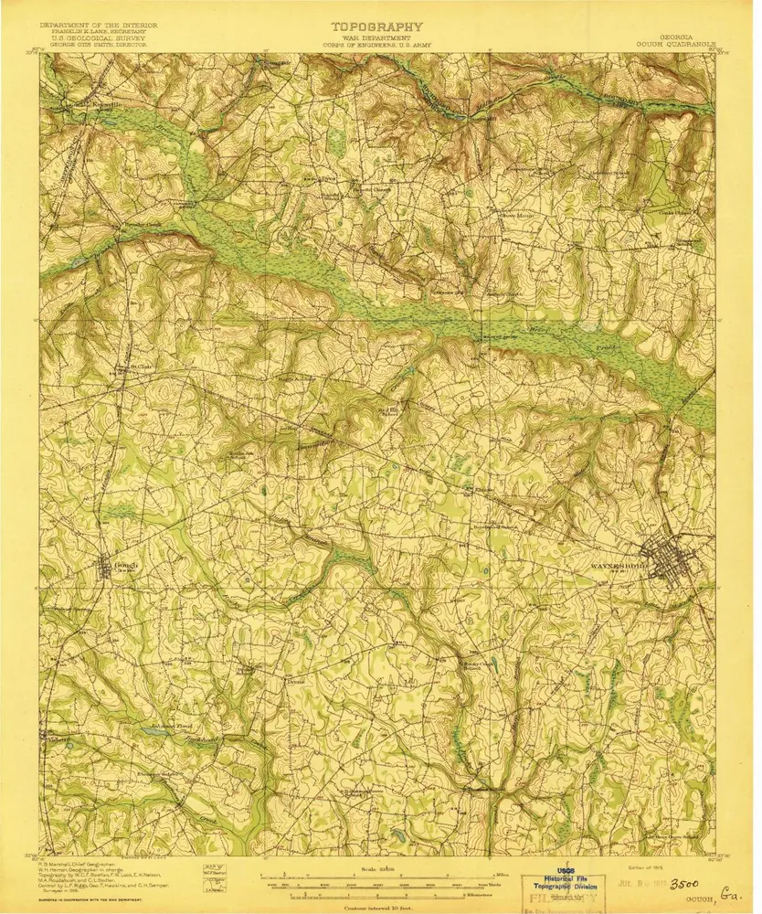
Gough
1919
1:63k
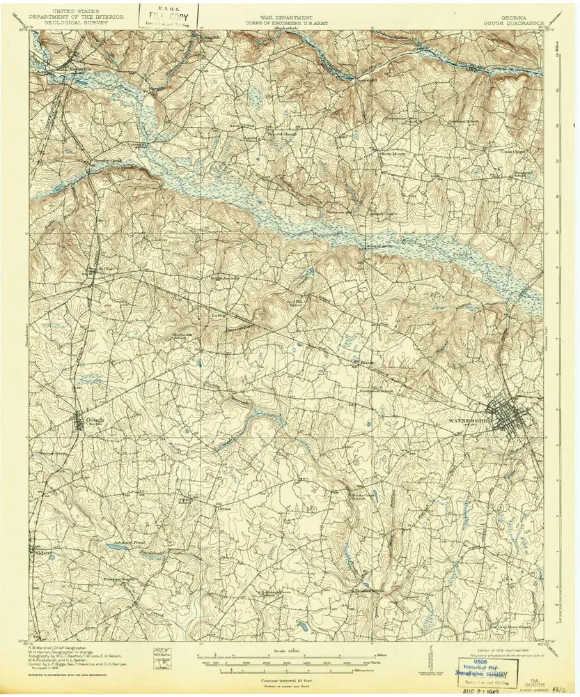
Gough
1919
1:63k
Stapleton
1948
1:63k
Stapleton
1948
1:63k
Stapleton
1920
1:63k
Stapleton
1920
1:63k
History