Projekt
Gemeinschaft
Nachrichten
Meine App
Meine Karten
Cataloged map
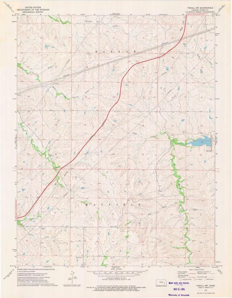
Thrall NW
Ansicht auf externer Website
Digitalisierte Bilder ansehen
Institution:
United States Geological Survey
Full title:
Thrall NW
Depicted:
1973
Pubdate:
1975
Map scale:
1:24 000
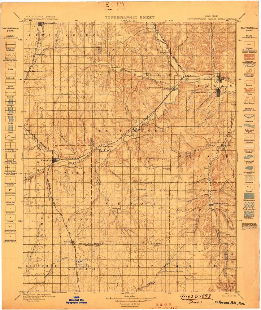
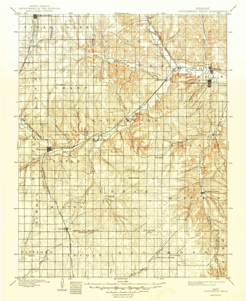
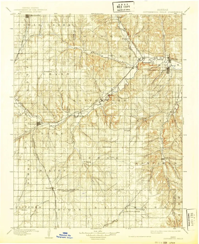
Cottonwood Falls
1898
1:125k
Cottonwood Falls
1898
1:125k
Cottonwood Falls
1898
1:125k
Cottonwood Falls
1898
1:125k
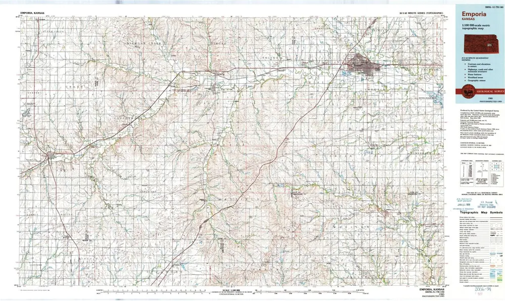
Emporia
1985
1:100k
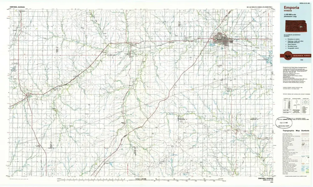
Emporia
1985
1:100k
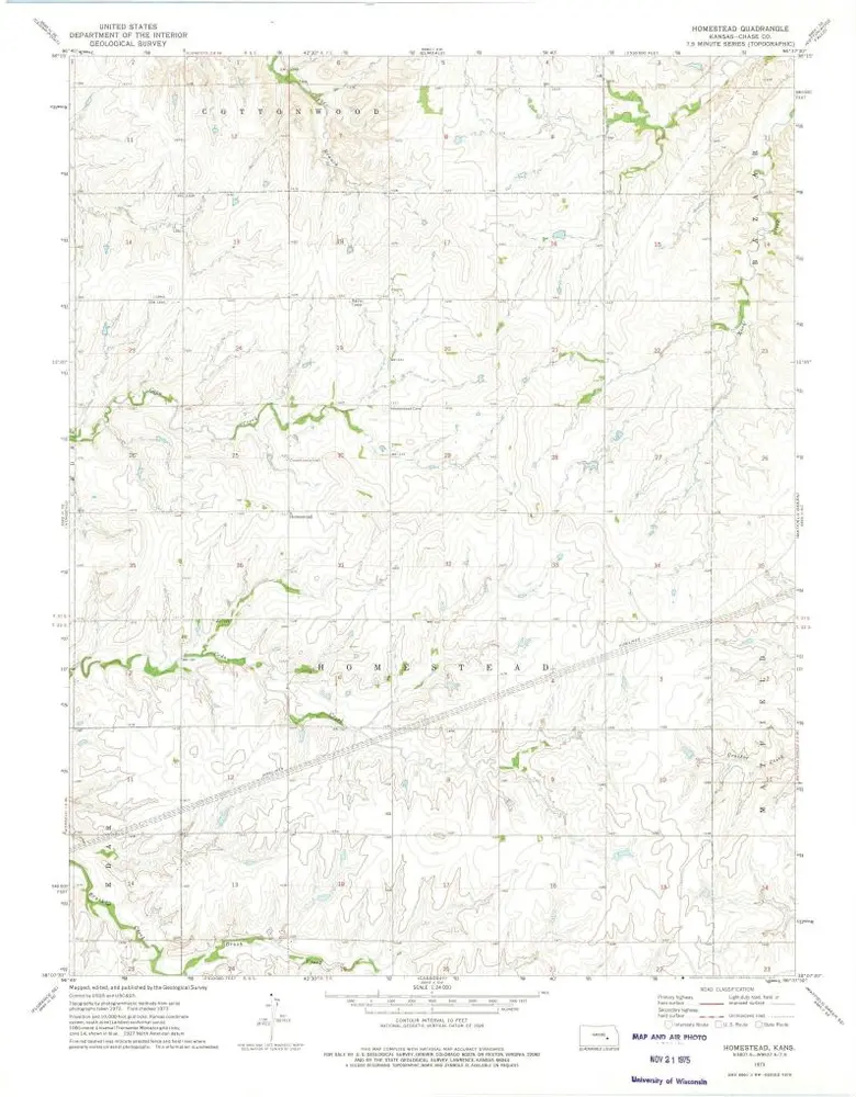
Homestead
1973
1:24k
Thrall NW
1973
1:24k
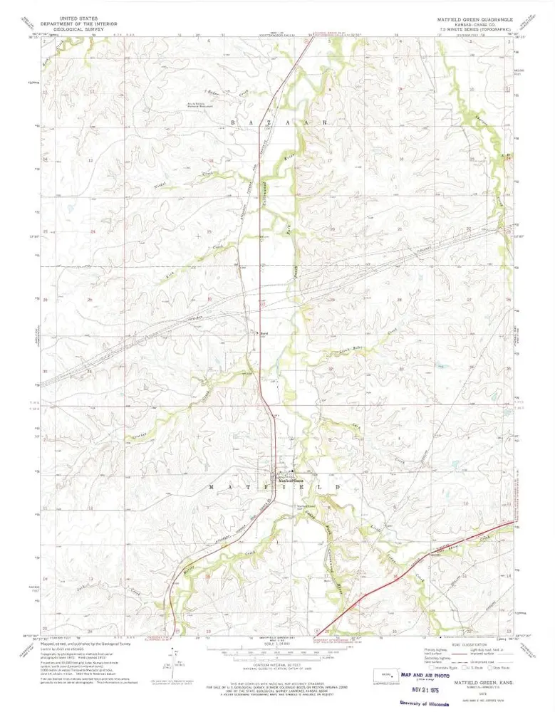
Matfield Green
1973
1:24k
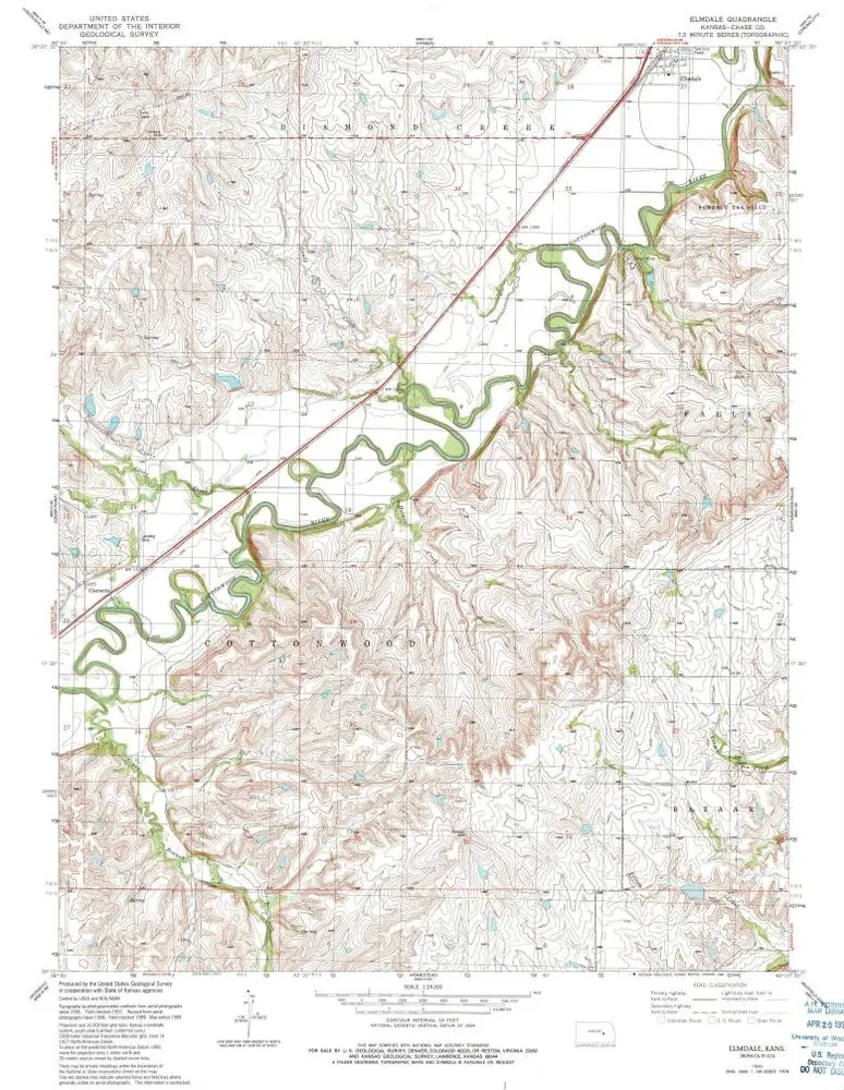
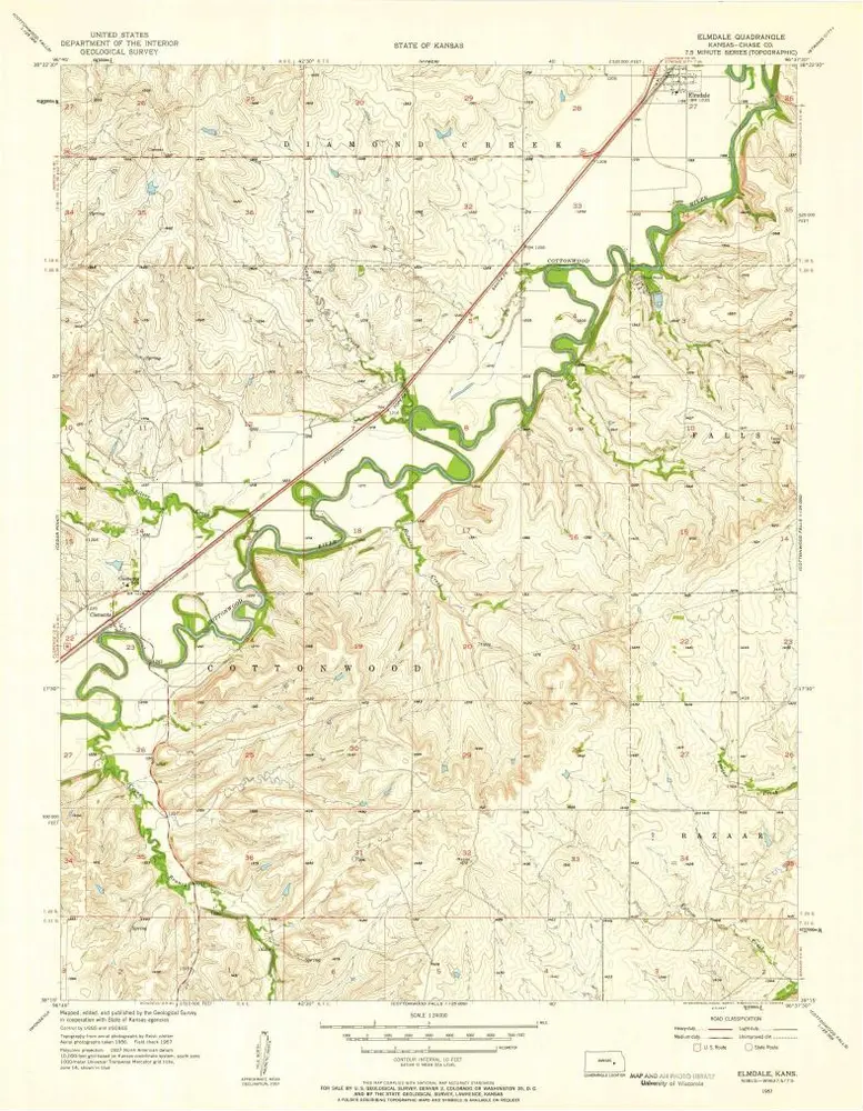
Elmdale
1989
1:24k
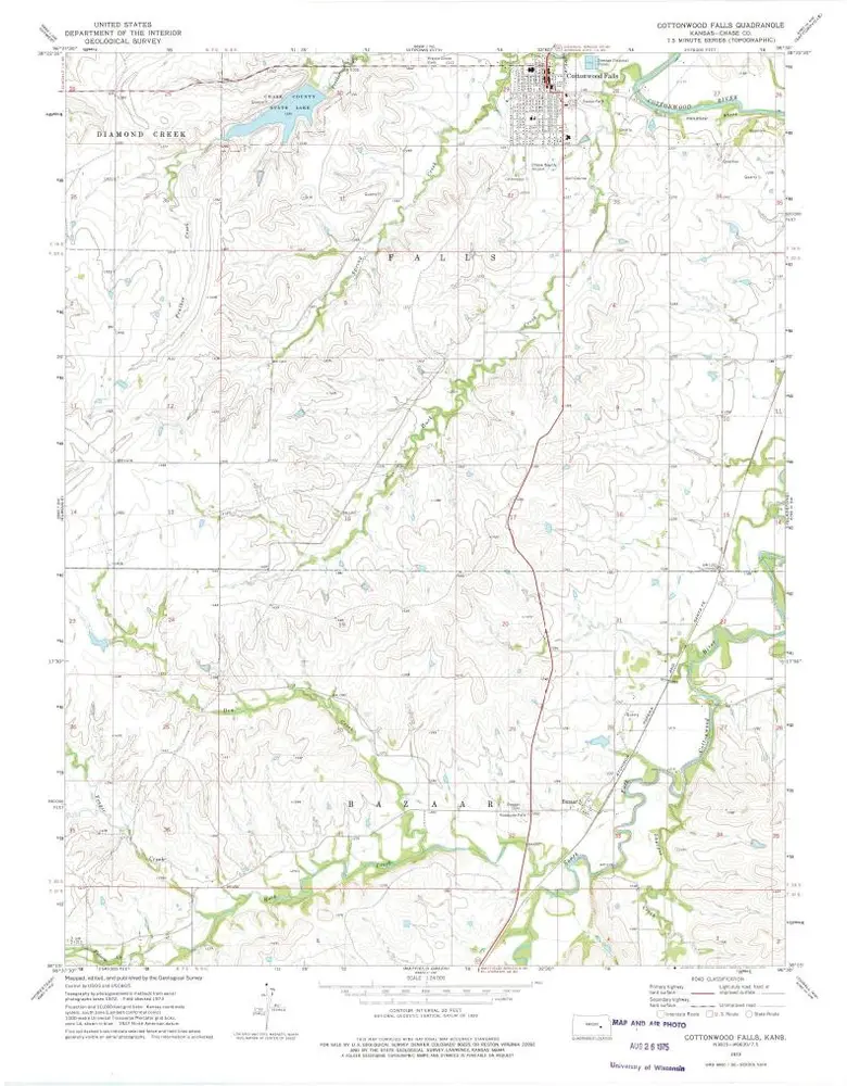
Cottonwood Falls
1973
1:24k
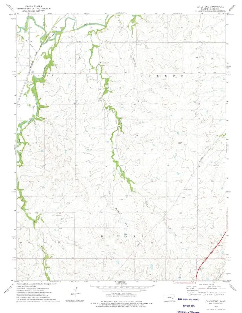
Gladstone
1973
1:24k
Elmdale
1957
1:24k
History