Cataloged map
Glens

Institution:United States Geological Survey
Full title:Glens
Depicted:1950
Pubdate:1954
Map scale:1:24 000
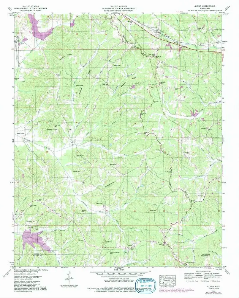
Glens
1950
1:24k
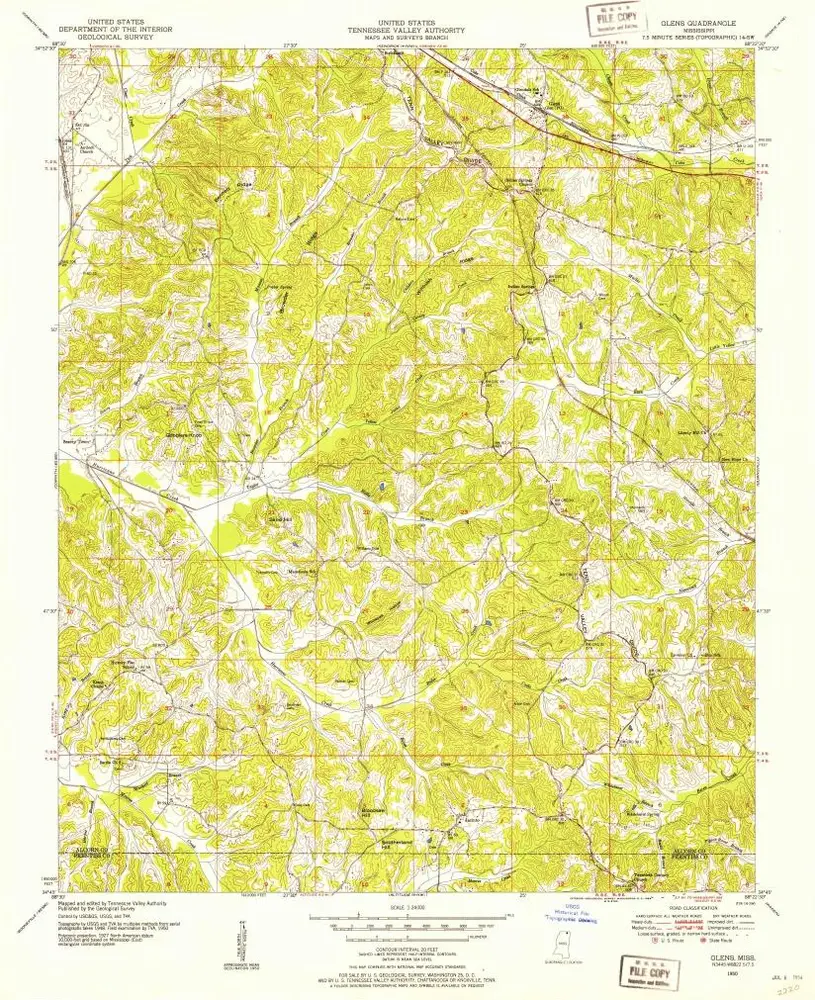
Glens
1950
1:24k
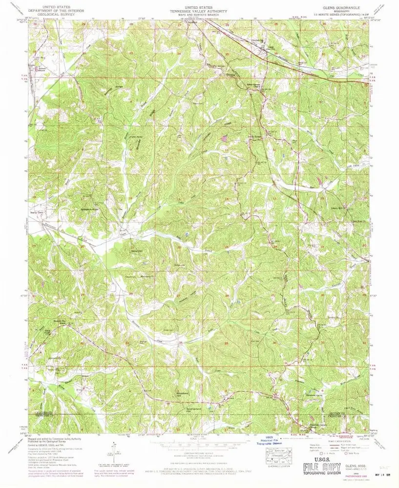
Glens
1950
1:24k
Map of the country between Monterey, Tenn. & Corinth, Miss. : showing the lines of entrenchments made & the routes followed by the U.S. forces under the command of Maj. Genl. Halleck, U.S. Army, in their advance upon Corinth in May 1862
1862
Matz, Otto H., 1830-1919
1:32k
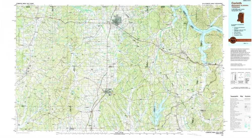
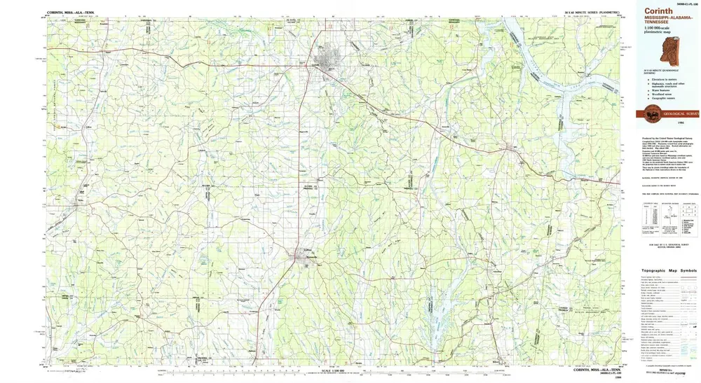
Corinth
1994
1:100k
Corinth
1984
1:100k
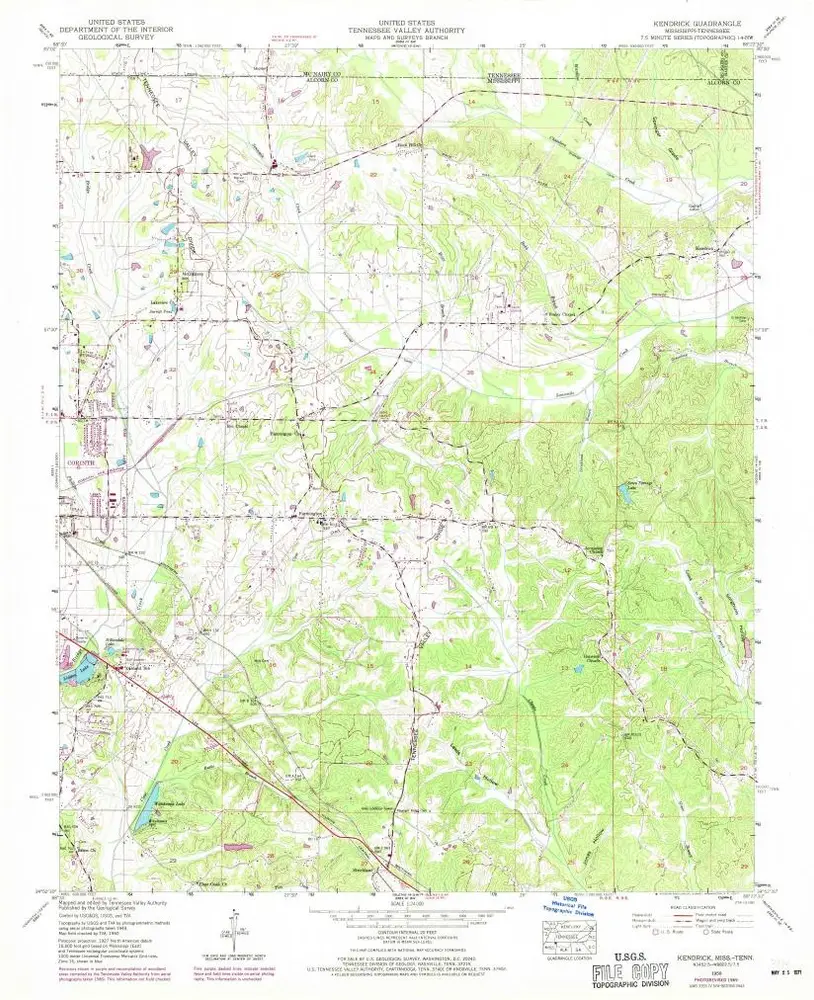
Kendrick
1950
1:24k
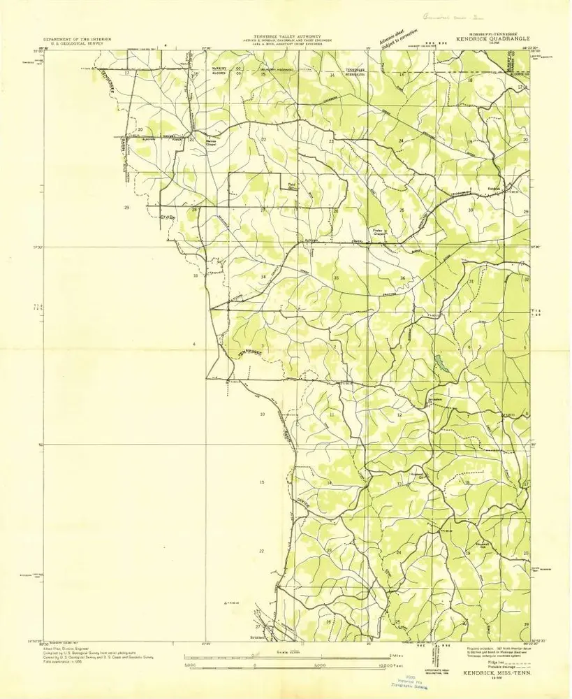
Kendrick
1936
1:24k
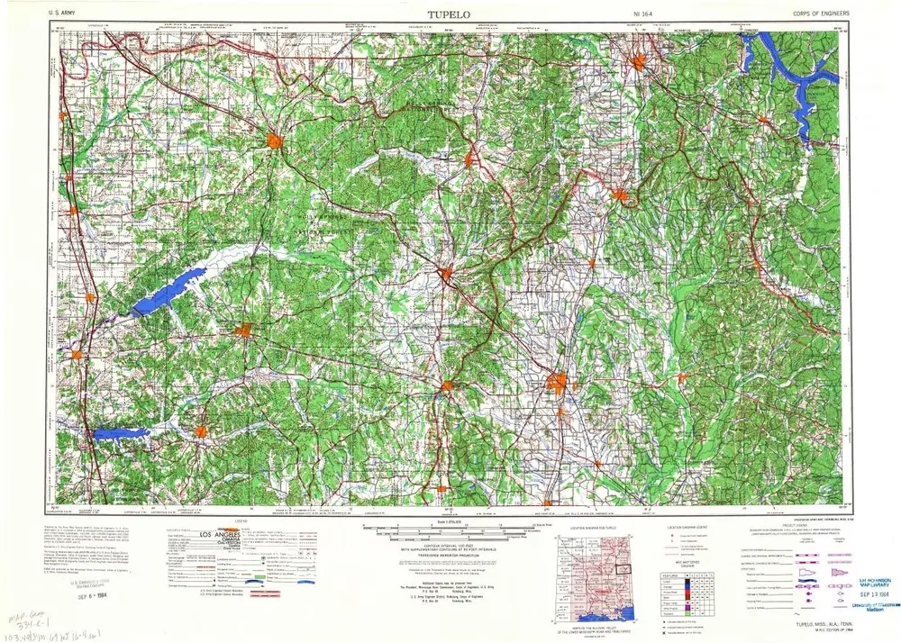
Tupelo
1984
1:250k
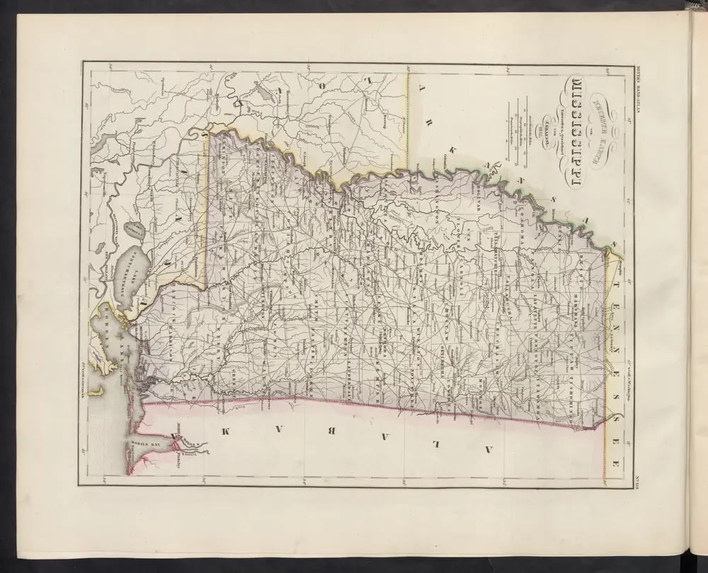
Neueste Karte von Mississippi
1860
Meyer, J.