Projekt
Gemeinschaft
Nachrichten
Meine App
Meine Karten
Carte cataloguée
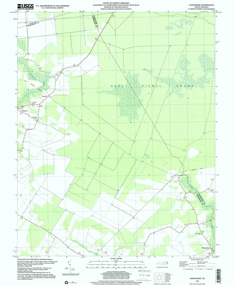
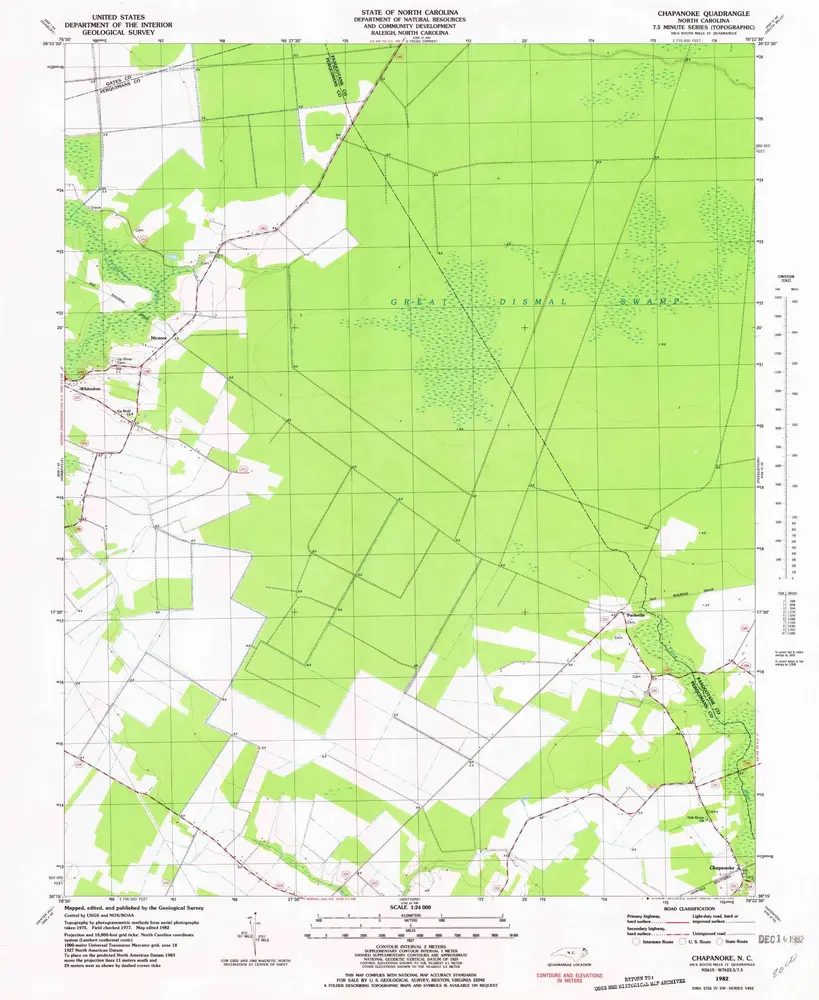
Chapanoke
Ansicht auf externer Website
Institution:
United States Geological Survey
Titre complet:
Chapanoke
Année de l'image:
1997
Date de publication:
2000
Échelle de la carte:
1:24 000
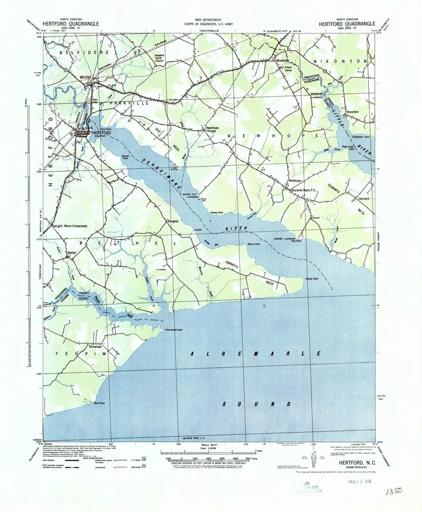
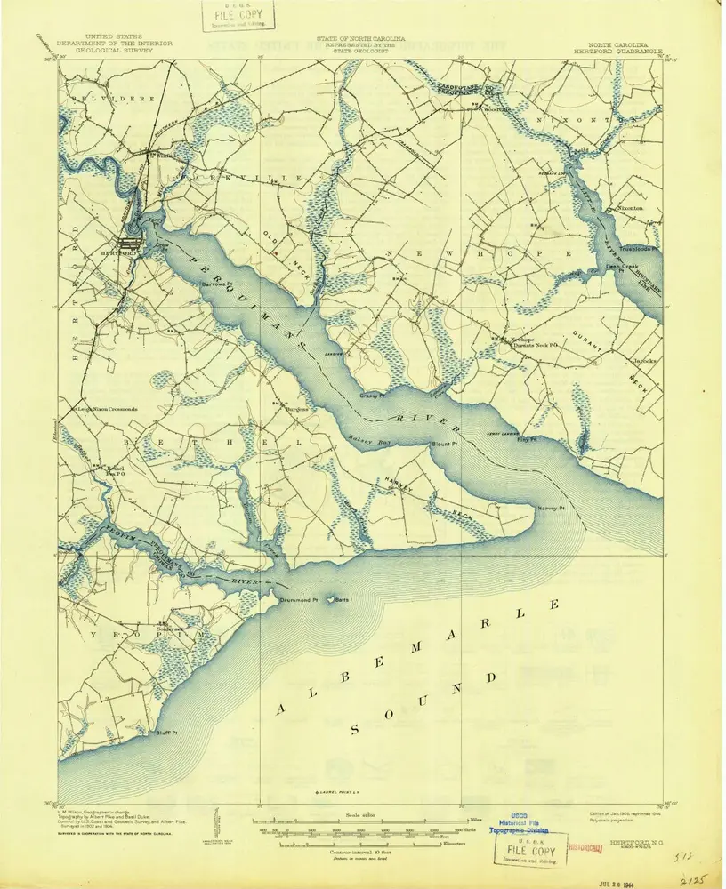
Hertford
1940
1:63k
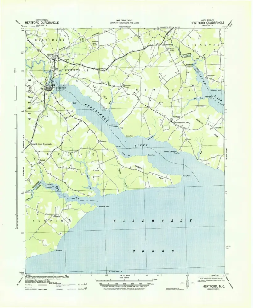
Hertford
1940
1:63k
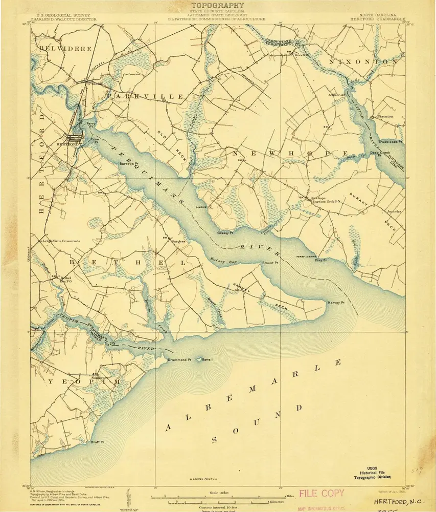
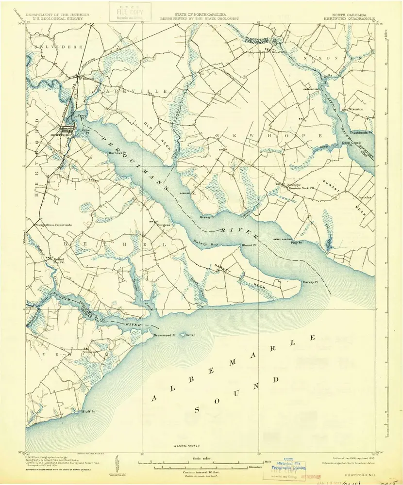
Hertford
1906
1:63k
Hertford
1906
1:63k
Hertford
1906
1:63k
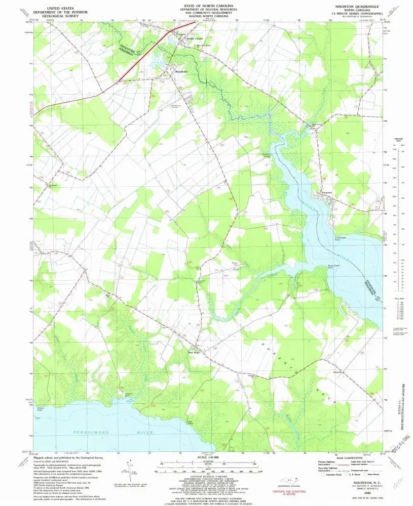
Nixonton
1982
1:24k
Chapanoke
1997
1:24k
Chapanoke
1982
1:24k
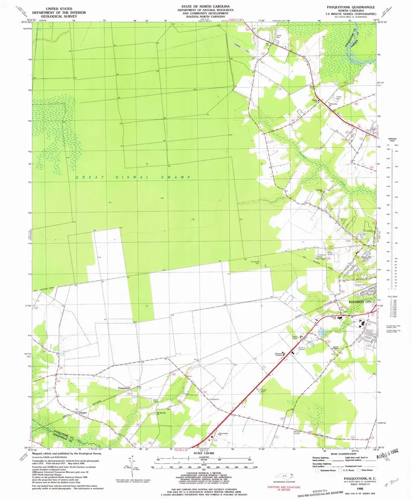
Pasquotank
1982
1:24k
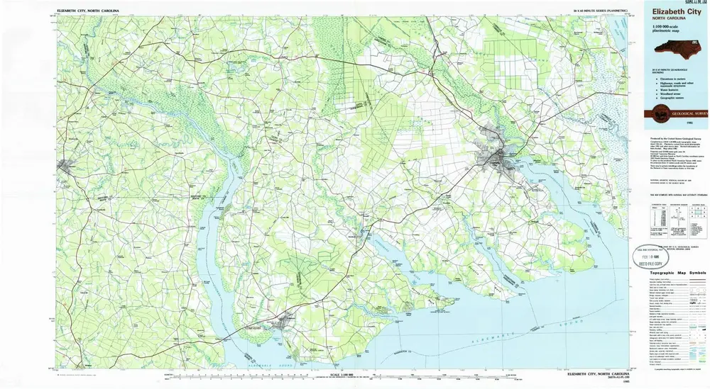
Elizabeth City
1985
1:100k
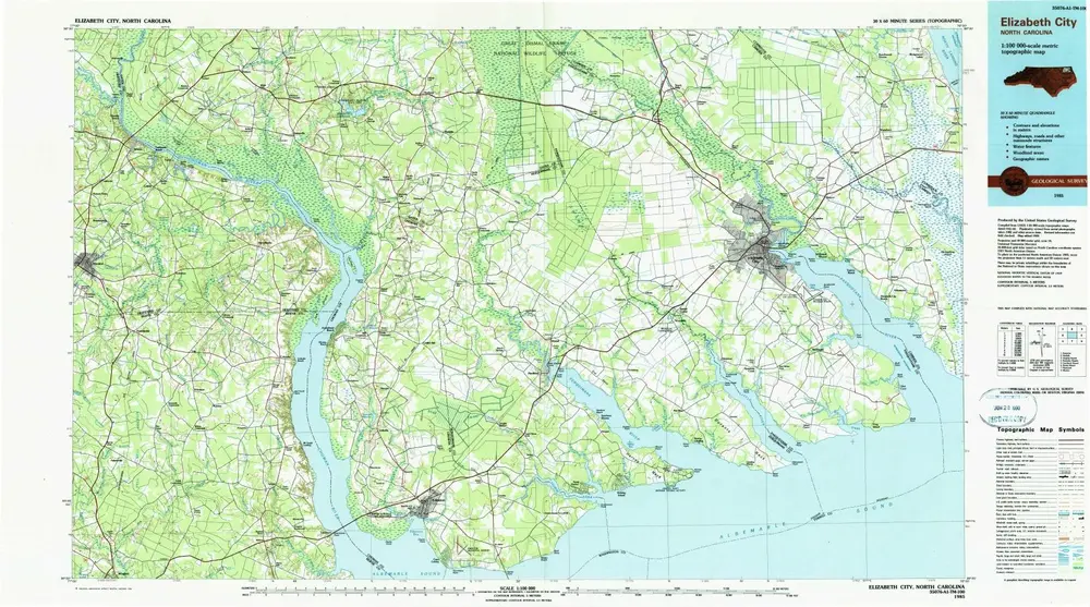
Elizabeth City
1985
1:100k
L'histoire