Projekt
Gemeinschaft
Nachrichten
Meine App
Meine Karten
Skatalogowana mapa
Cedar Hill
Ansicht auf externer Website
Digitalisierte Bilder ansehen
Instytucja:
United States Geological Survey
Pełny tytuł:
Cedar Hill
Rok ilustracji:
1959
Data publikacji:
1969
Skala mapy:
1:24 000
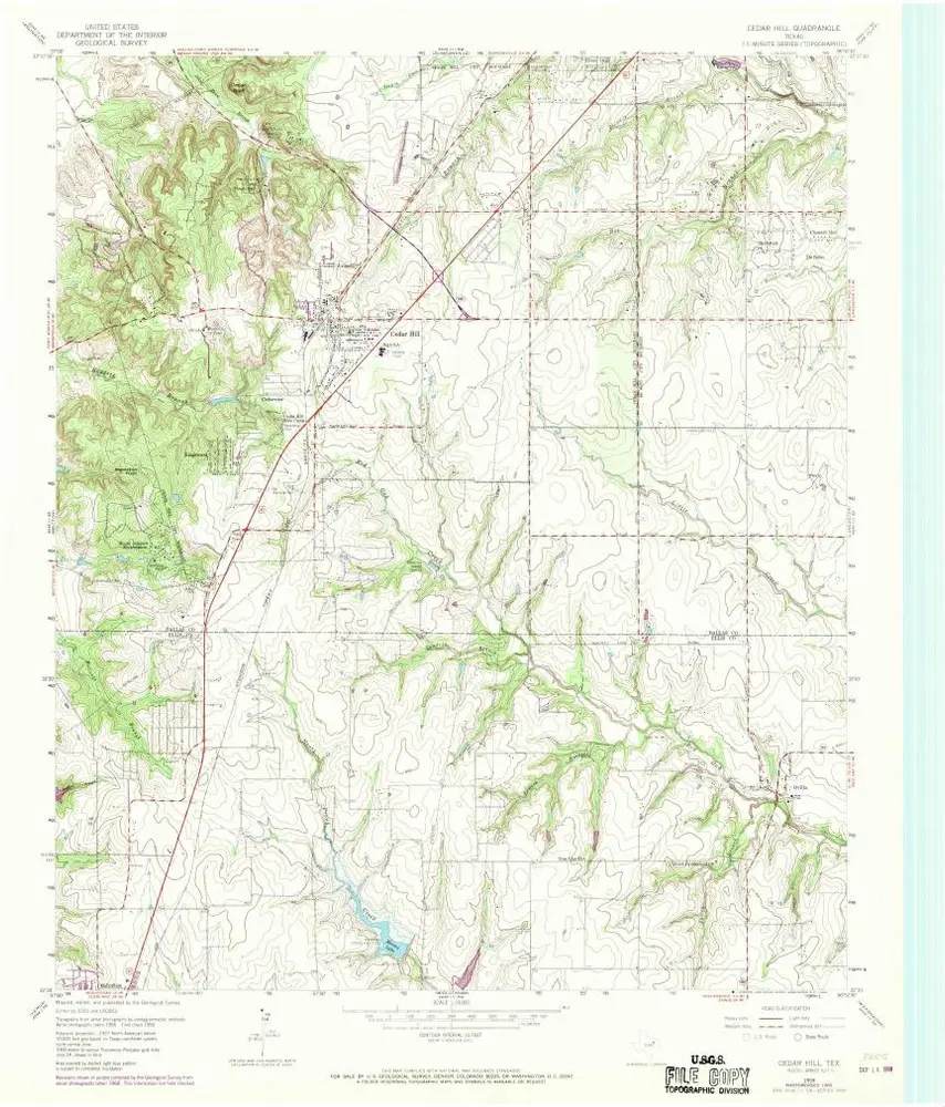
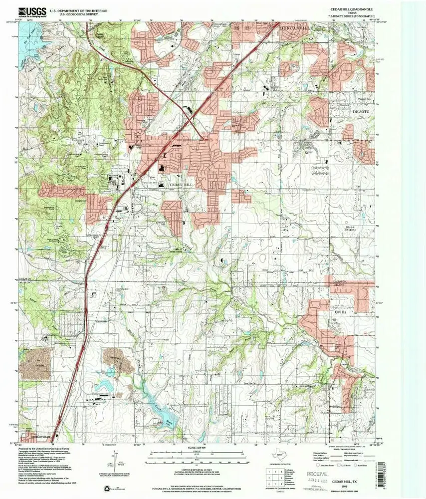
Cedar Hill
1995
1:24k
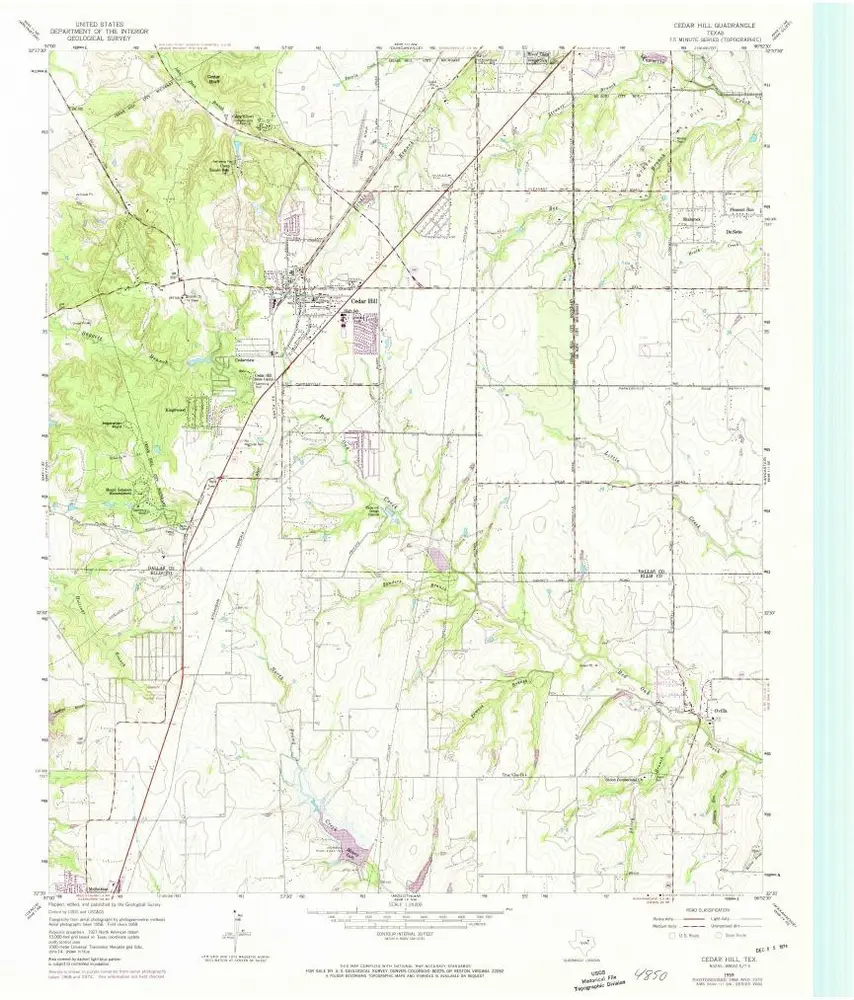
Cedar Hill
1959
1:24k
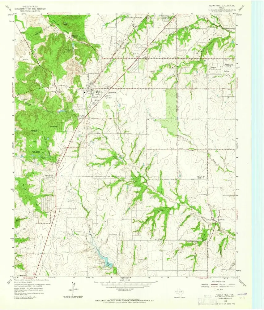
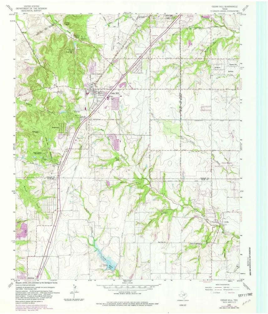
Cedar Hill
1959
1:24k
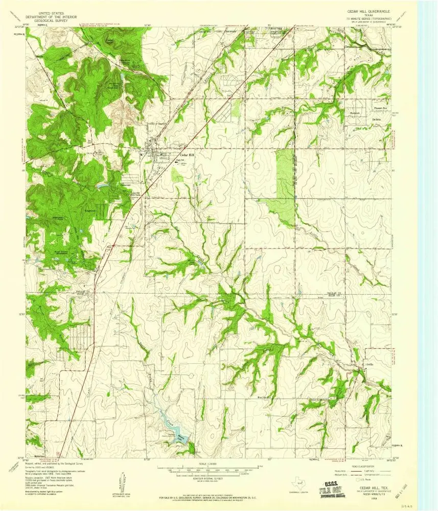
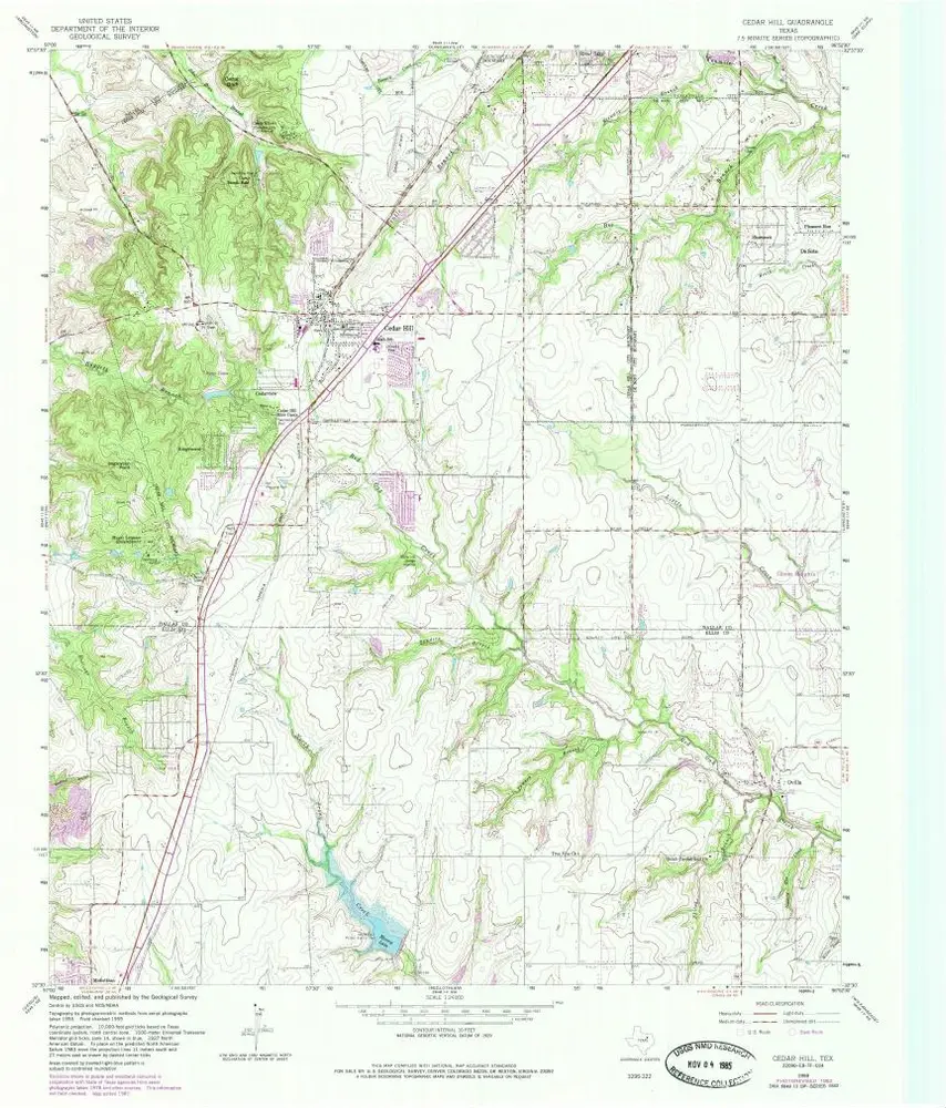
Cedar Hill
1959
1:24k
Cedar Hill
1959
1:24k
Cedar Hill
1959
1:24k
Cedar Hill
1959
1:24k
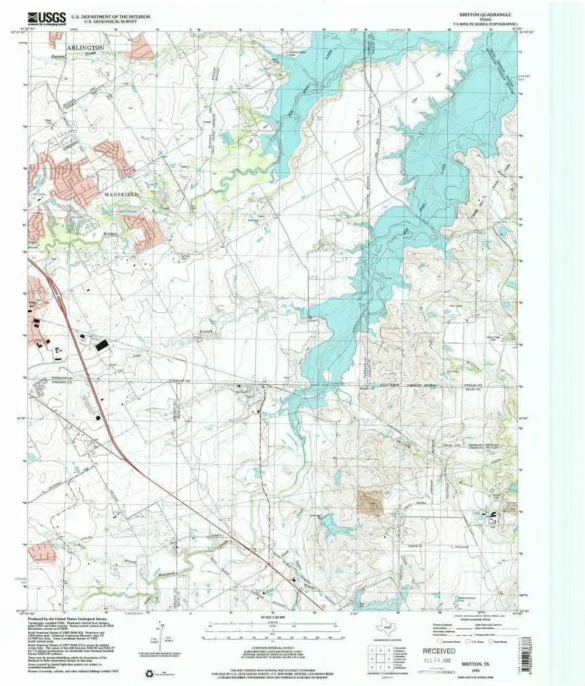
Britton
1995
1:24k
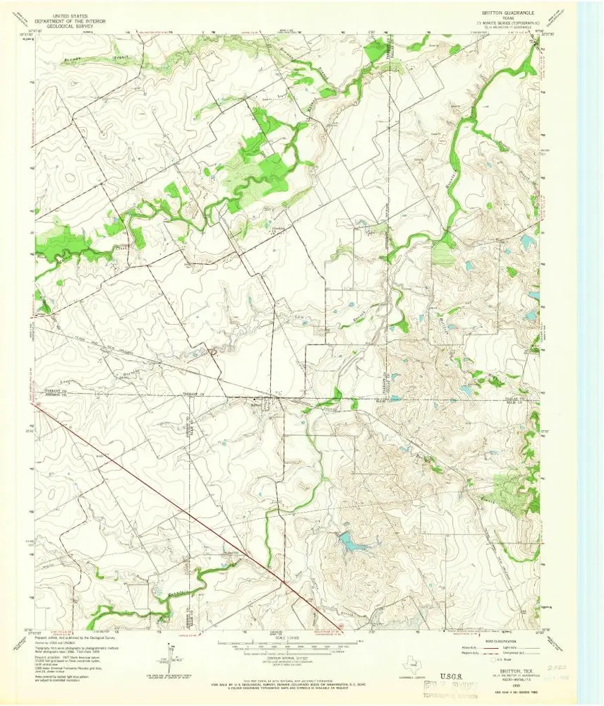
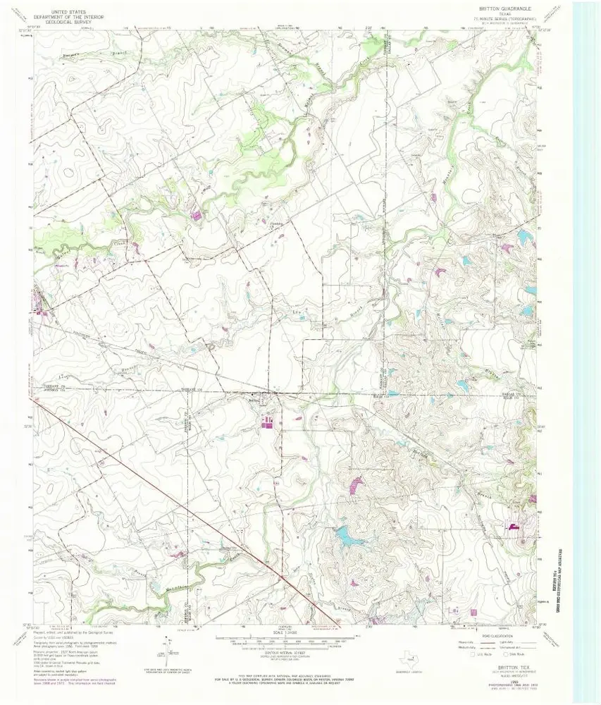
Britton
1959
1:24k
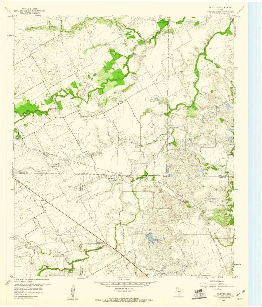
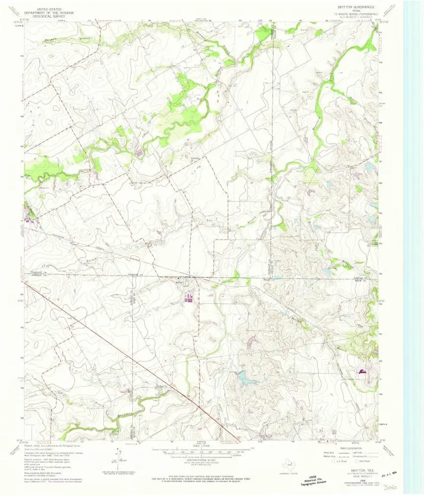
Britton
1959
1:24k
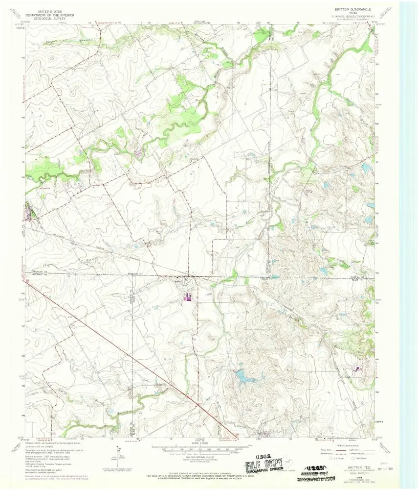
Britton
1959
1:24k
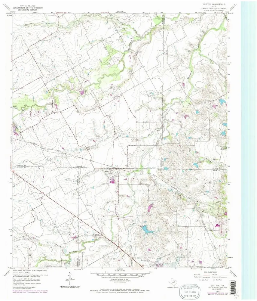
Britton
1959
1:24k
Britton
1959
1:24k
Britton
1959
1:24k
Historia