Projekt
Gemeinschaft
Nachrichten
Meine App
Meine Karten
Cataloged map
Naylor
Ansicht auf externer Website
Digitalisierte Bilder ansehen
Institution:
United States Geological Survey
Full title:
Naylor
Depicted:
1968
Pubdate:
1991
Map scale:
1:24 000
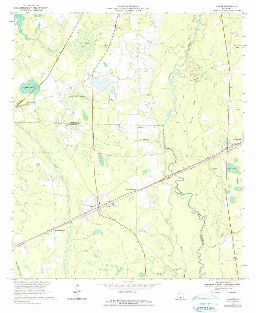
Naylor
1968
1:24k
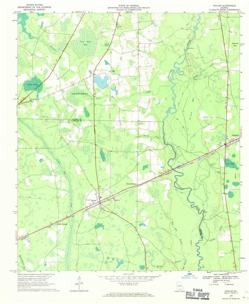
Naylor
1968
1:24k
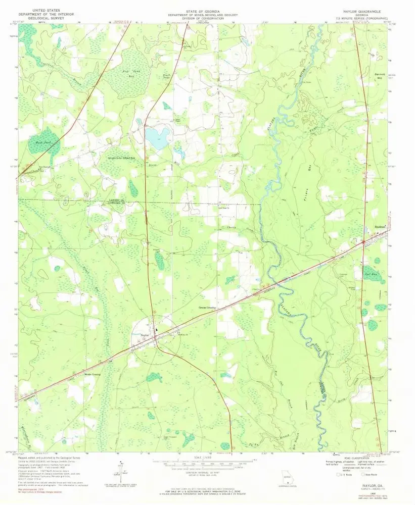
Naylor
1968
1:24k
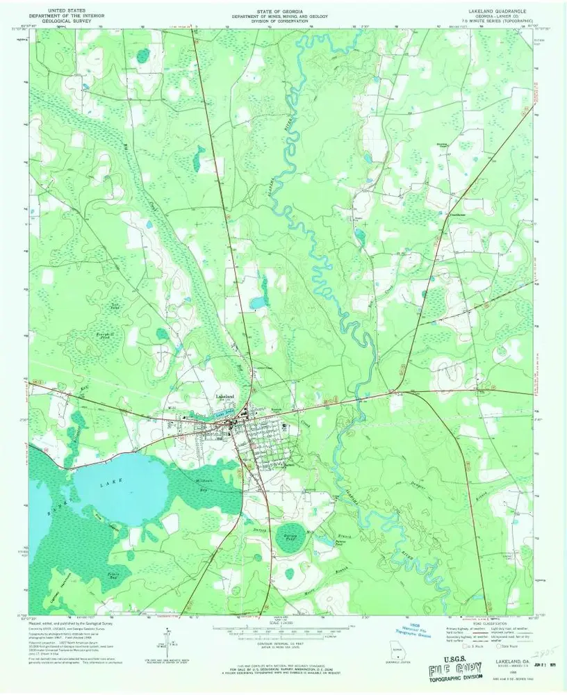
Lakeland
1968
1:24k
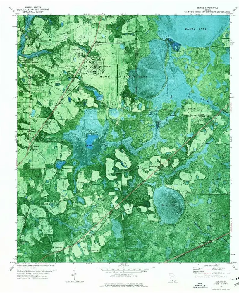
Bemiss
1971
1:24k
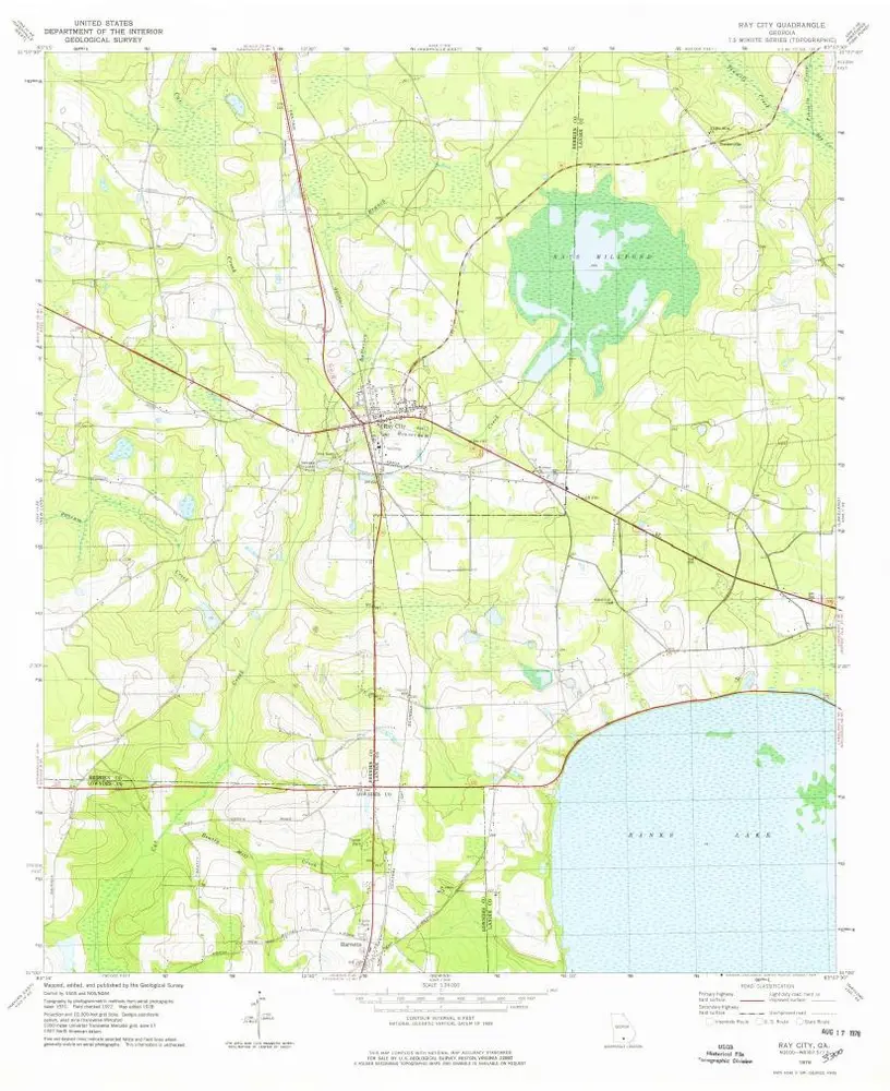
Ray City
1978
1:24k
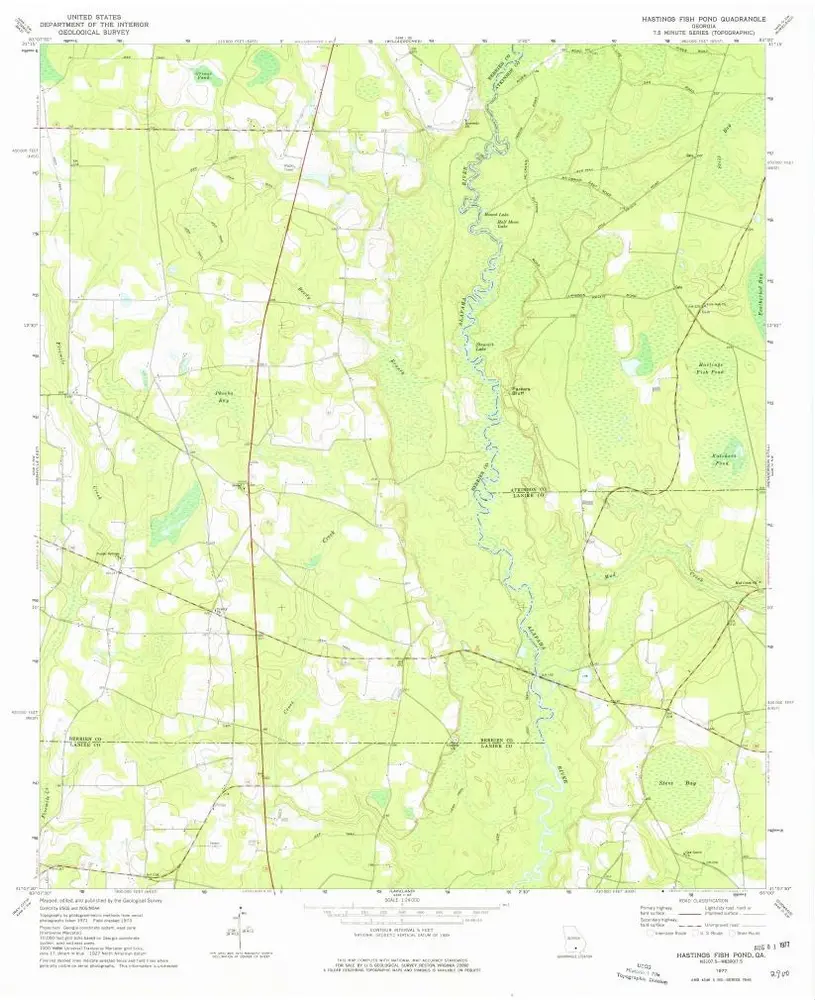
Hastings Fish Pond
1977
1:24k
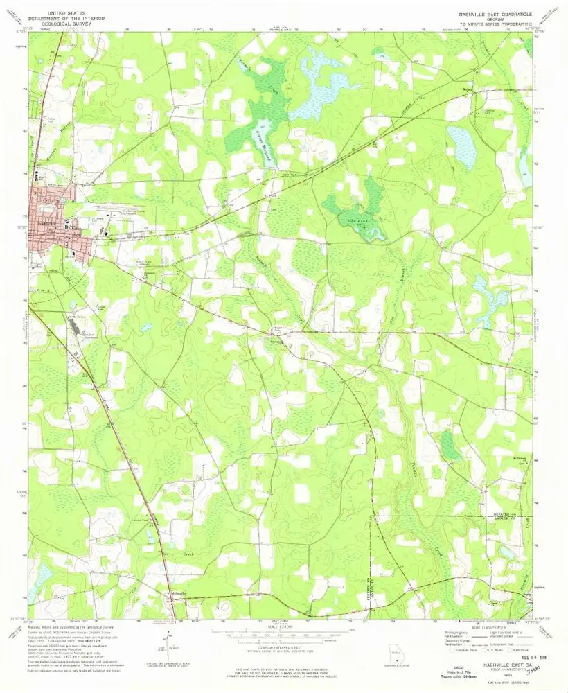
Nashville East
1978
1:24k
Stockton
1971
1:24k
Sirmans
1972
1:24k
Sirmans
1972
1:24k
History