Projekt
Gemeinschaft
Nachrichten
Meine App
Meine Karten
Gecatalogiseerde kaart
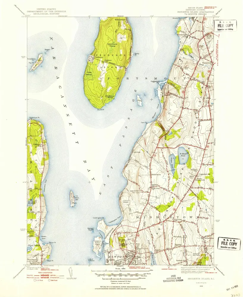
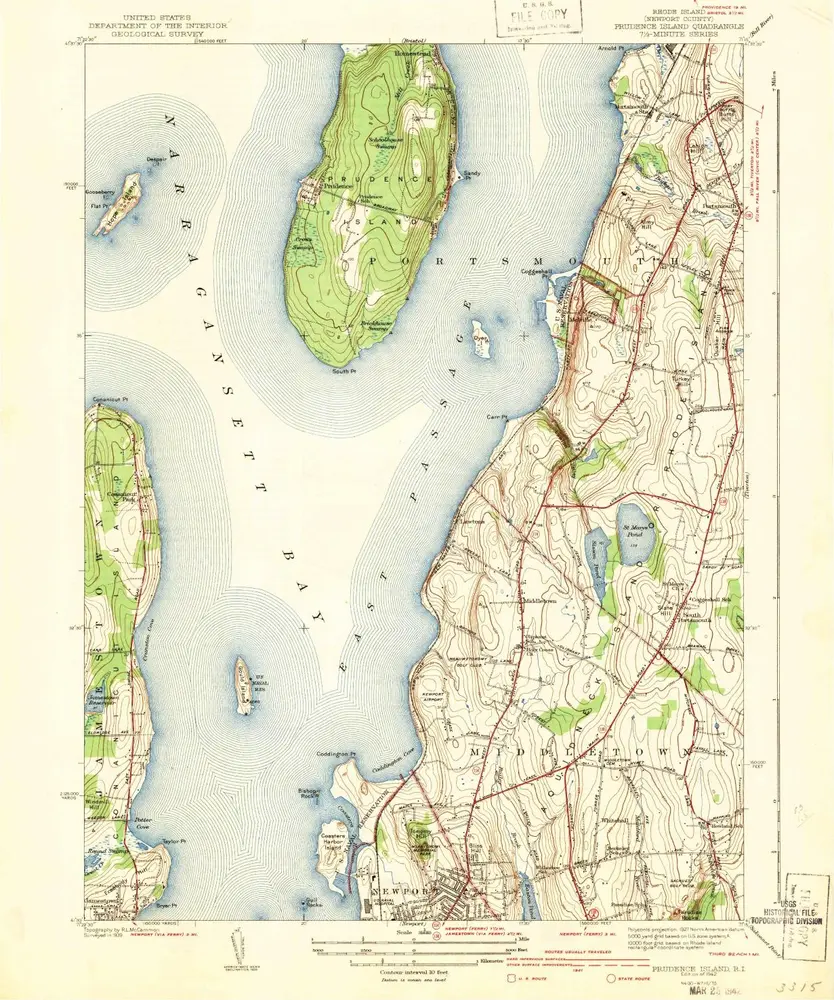
Prudence Island
Ansicht auf externer Website
Volledige titel:
Prudence Island
Jaar illustratie:
1939
Pubdatum:
1953
Schaal kaart:
1:31 680
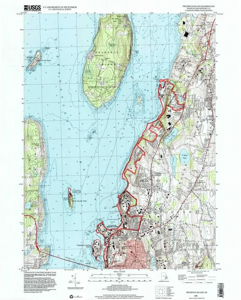
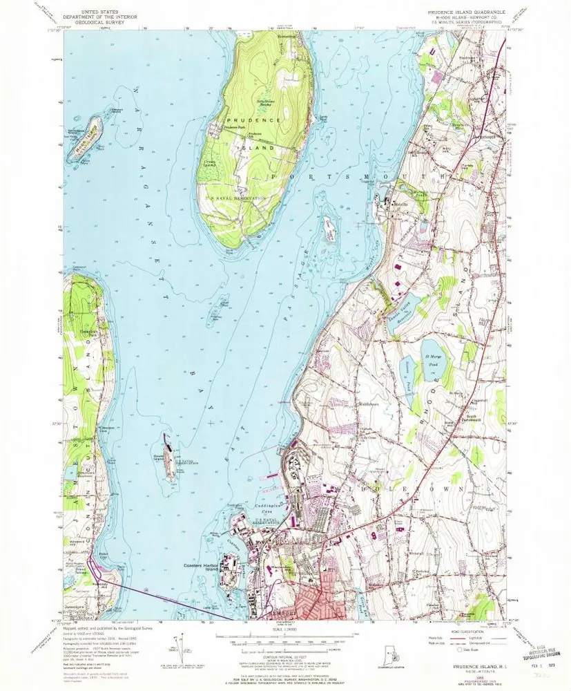
Prudence Island
1996
1:24k
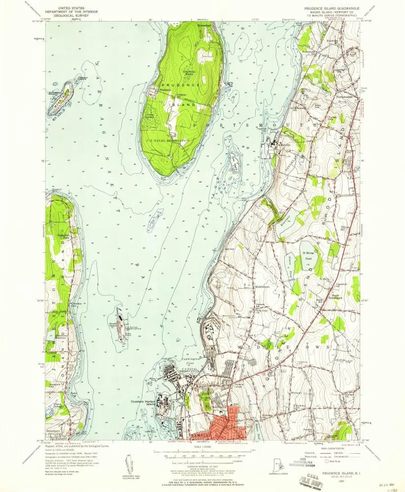
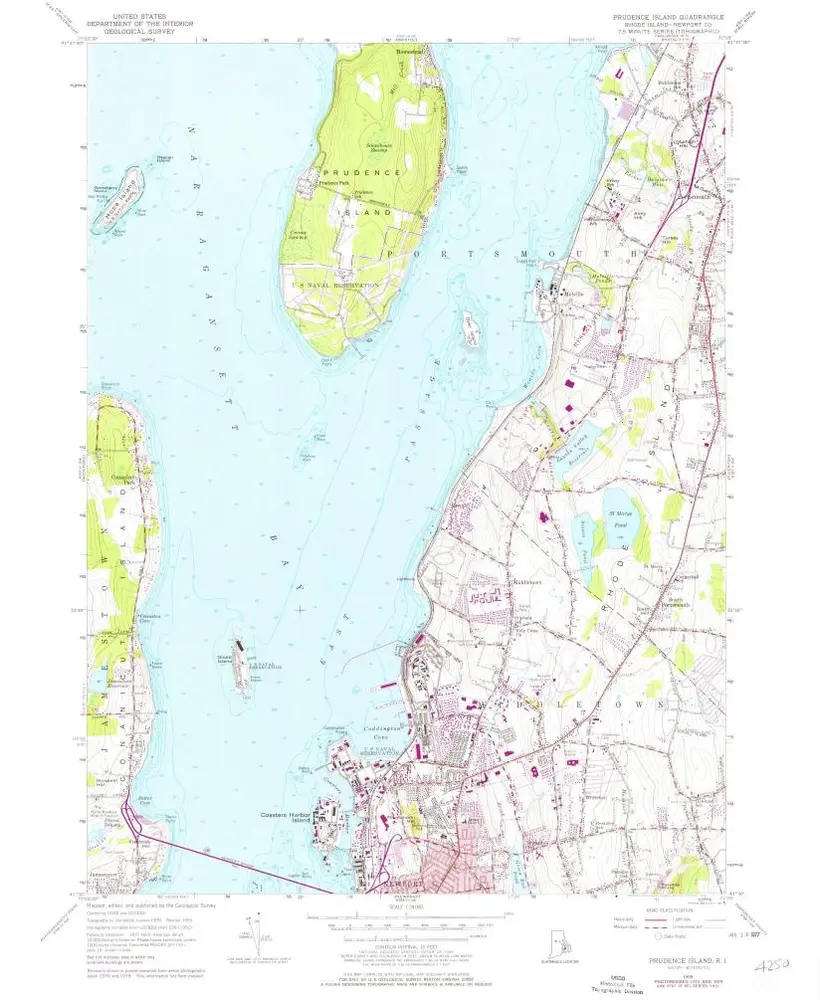
Prudence Island
1955
1:24k
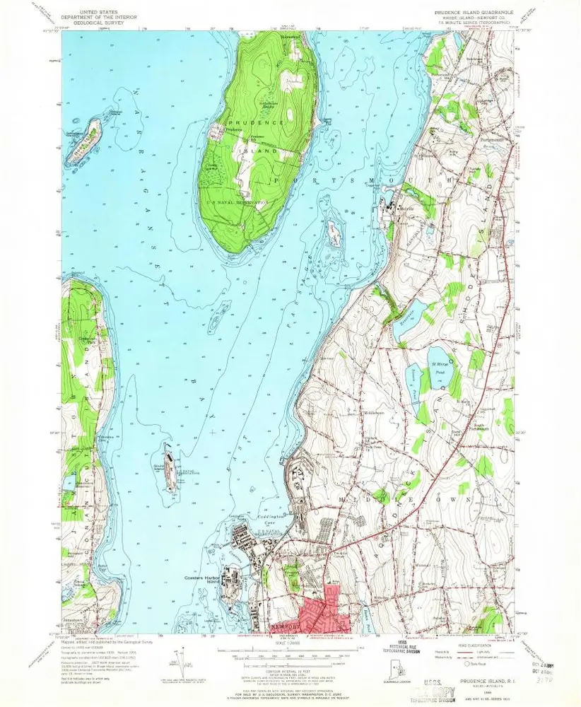
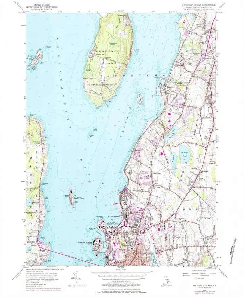
Prudence Island
1955
1:24k
Prudence Island
1955
1:24k
Prudence Island
1955
1:24k
Prudence Island
1955
1:24k
Prudence Island
1942
1:32k
Prudence Island
1942
1:32k
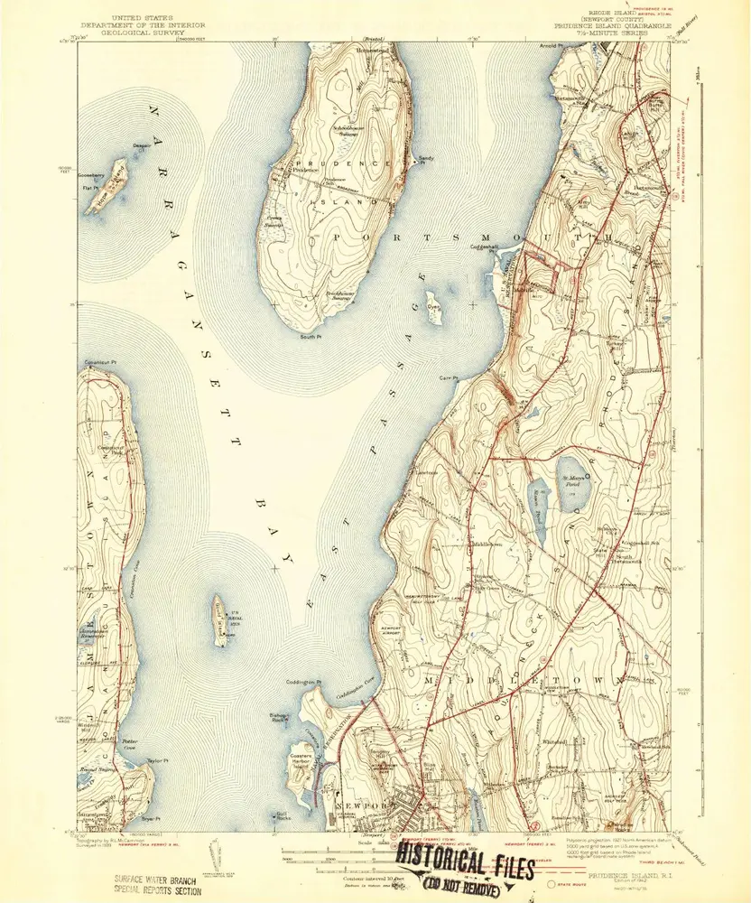
Prudence Island
1939
1:32k
A plan of the town of Newport in Rhode Island
1777
Blaskowitz, Charles
1:6k
Geschiedenis