Cataloged map
Sherwood Point

Institution:United States Geological Survey
Full title:Sherwood Point
Depicted:1951
Pubdate:1960
Map scale:1:24 000
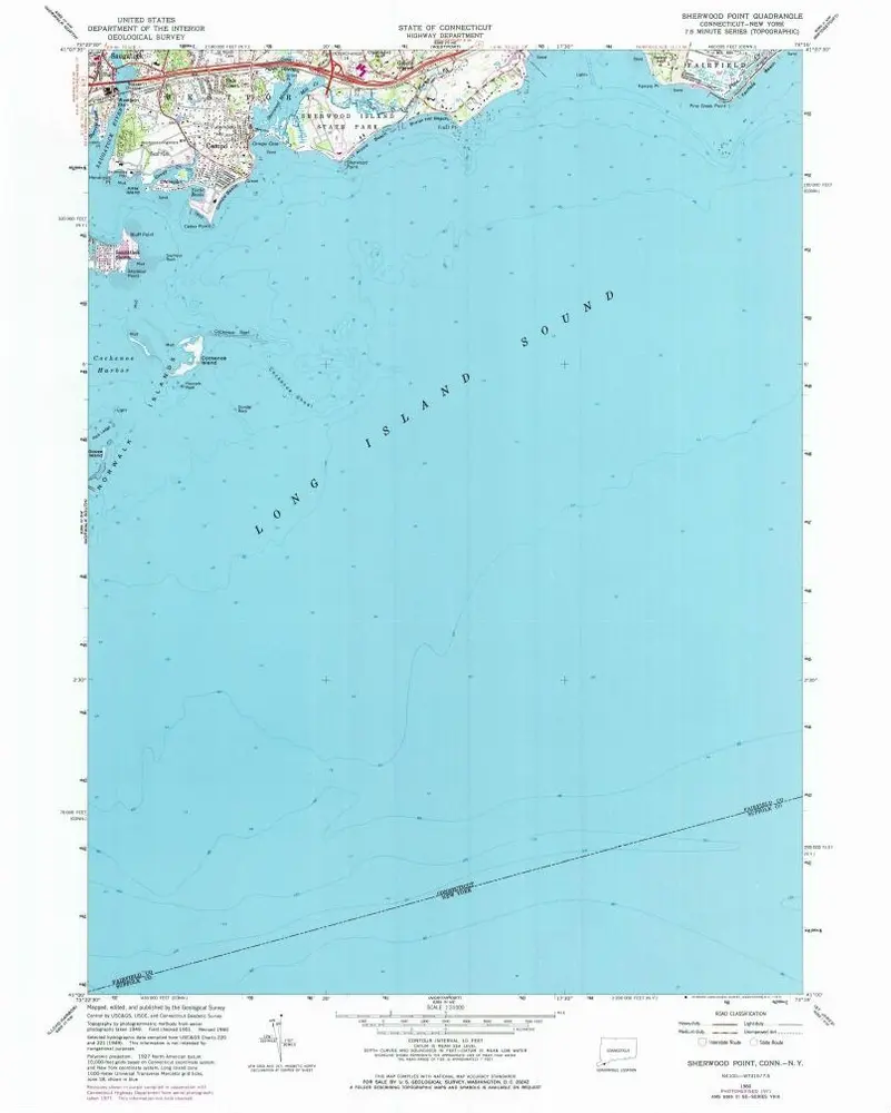
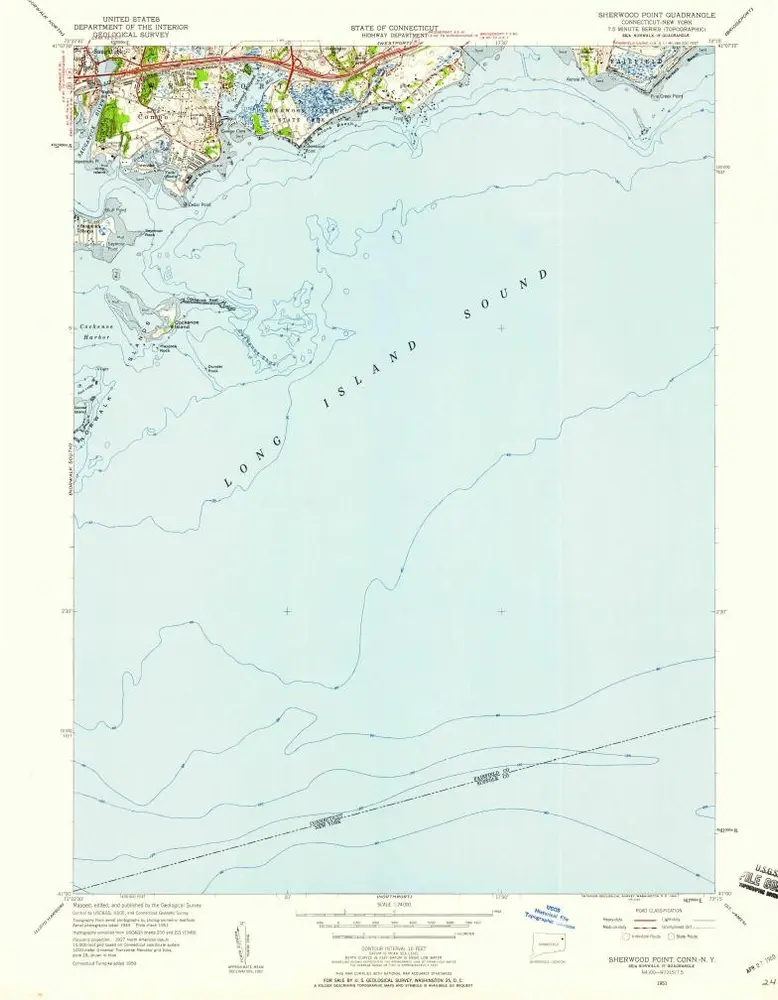
Sherwood Point
1960
1:24k
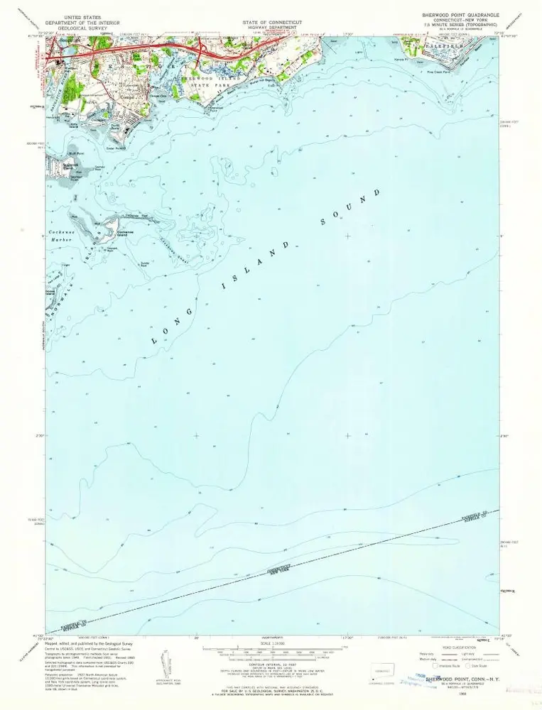
Sherwood Point
1960
1:24k
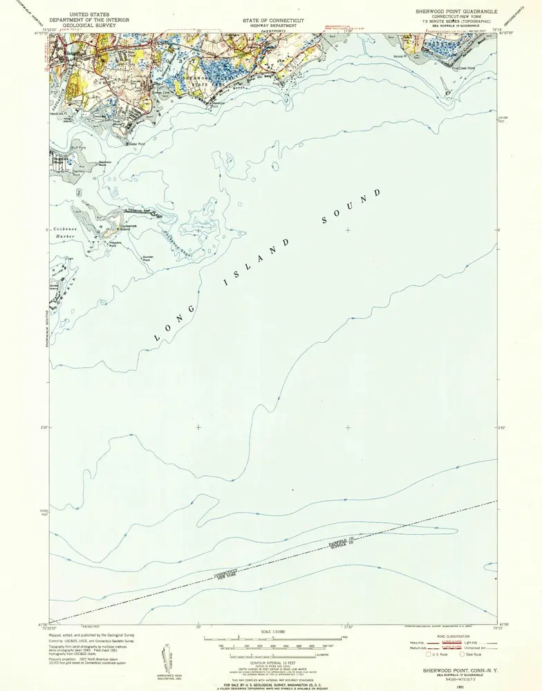
Sherwood Point
1951
1:32k
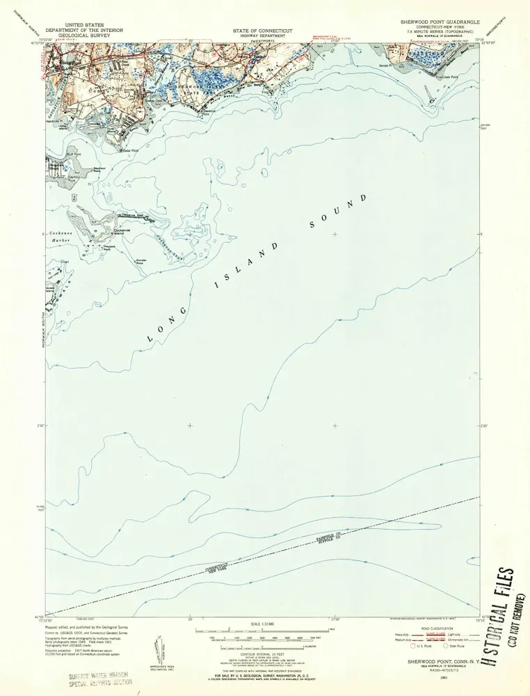
Sherwood Point
1951
1:32k
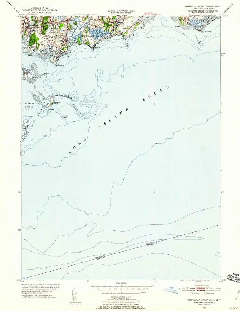
Sherwood Point
1951
1:24k
Sherwood Point
1951
1:24k
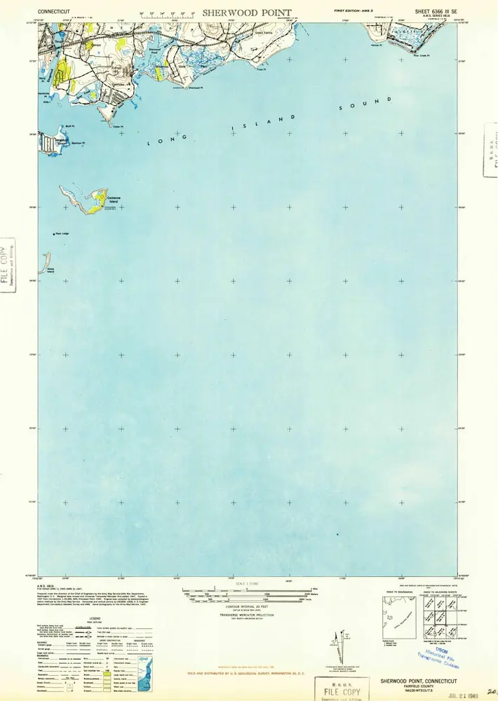
Sherwood Point
1947
1:32k
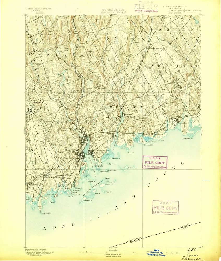
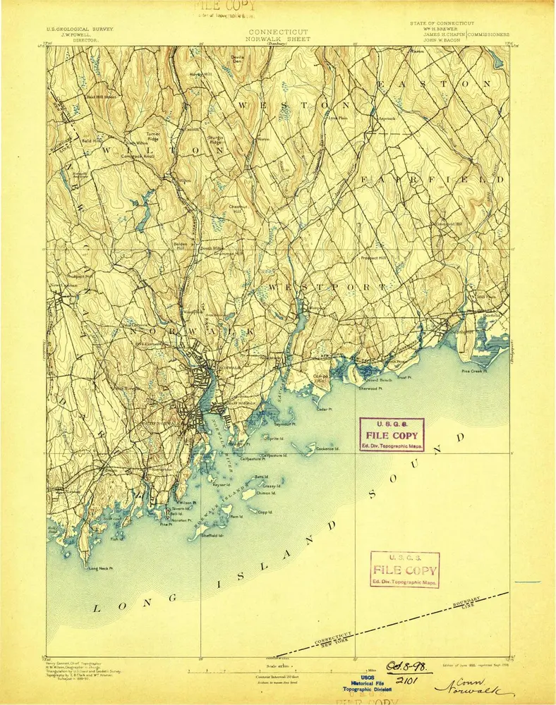
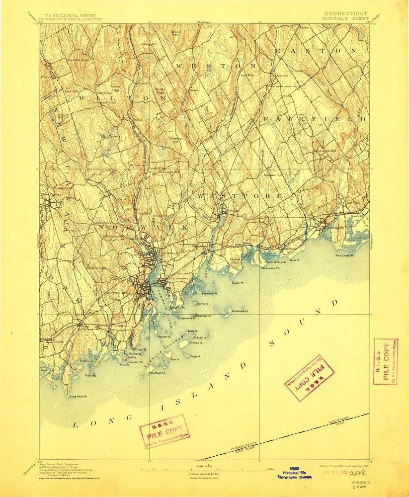
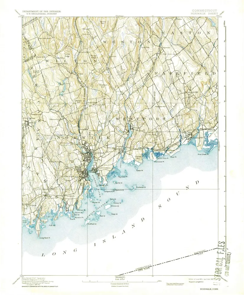
Norwalk
1893
1:63k
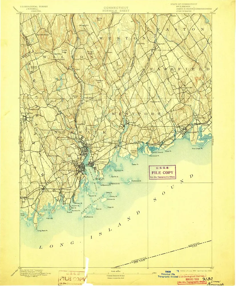
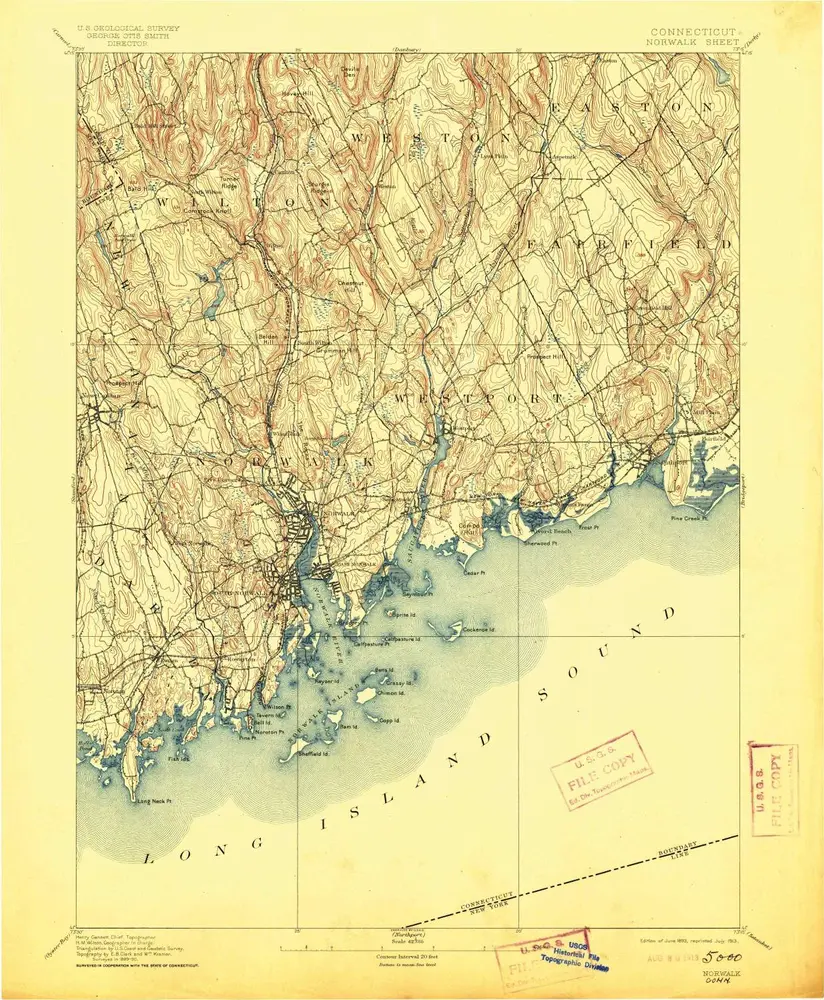
Norwalk
1893
1:63k
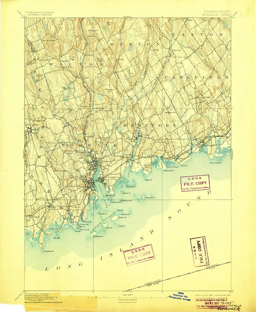
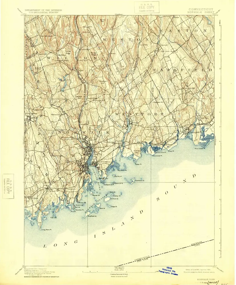
Norwalk
1893
1:63k
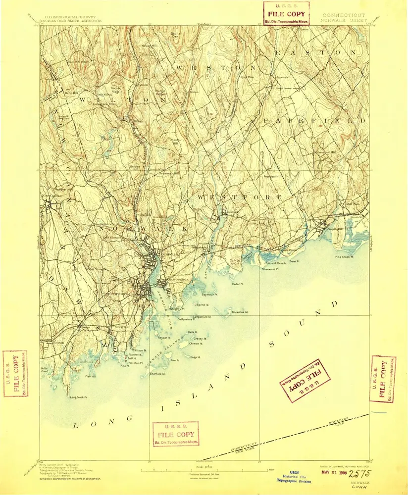
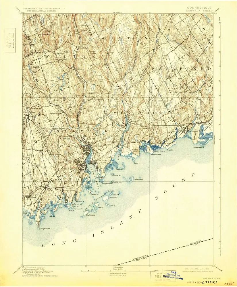
Norwalk
1893
1:63k
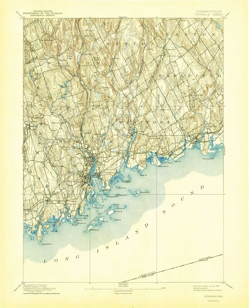
Norwalk
1893
1:63k
Norwalk
1893
1:63k
Norwalk
1893
1:63k
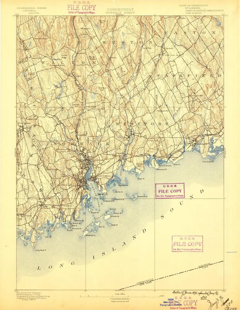
Norwalk
1893
1:63k
Norwalk
1893
1:63k
Norwalk
1893
1:63k
Norwalk
1893
1:63k
Norwalk
1893
1:63k
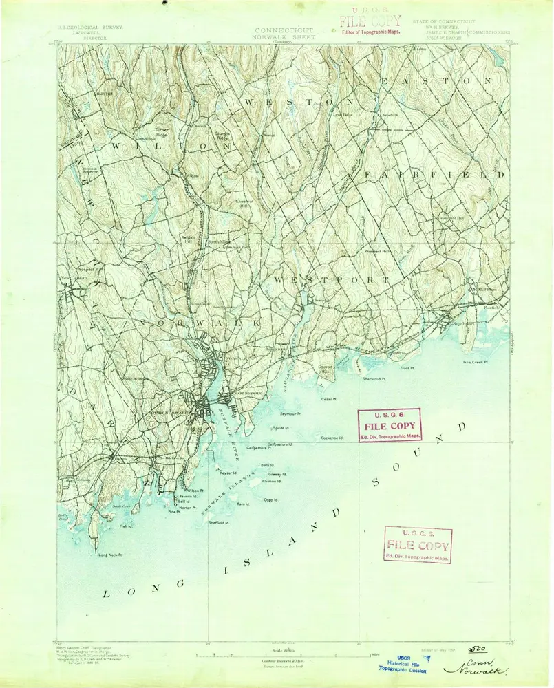
Norwalk
1892
1:63k