Projekt
Gemeinschaft
Nachrichten
Meine App
Meine Karten
Carte cataloguée
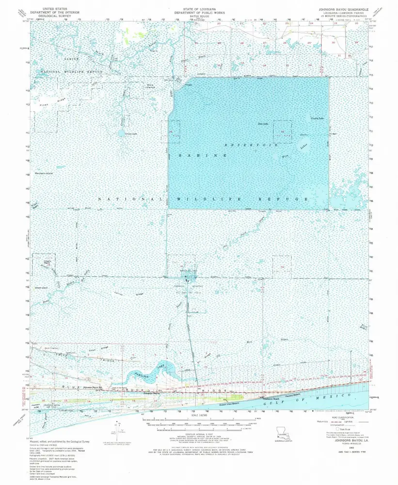
Johnsons Bayou
Ansicht auf externer Website
View digitized
Institution:
United States Geological Survey
Titre complet:
Johnsons Bayou
Année de l'image:
1955
Date de publication:
1975
Échelle de la carte:
1:62 500
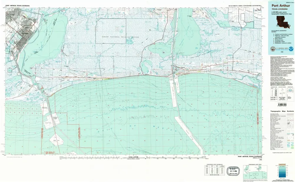
Port Arthur
1983
1:100k
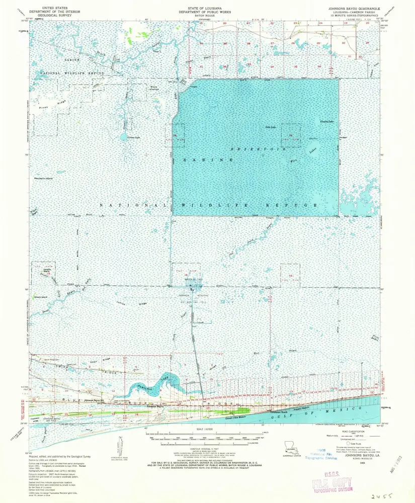
Johnsons Bayou
1955
1:63k
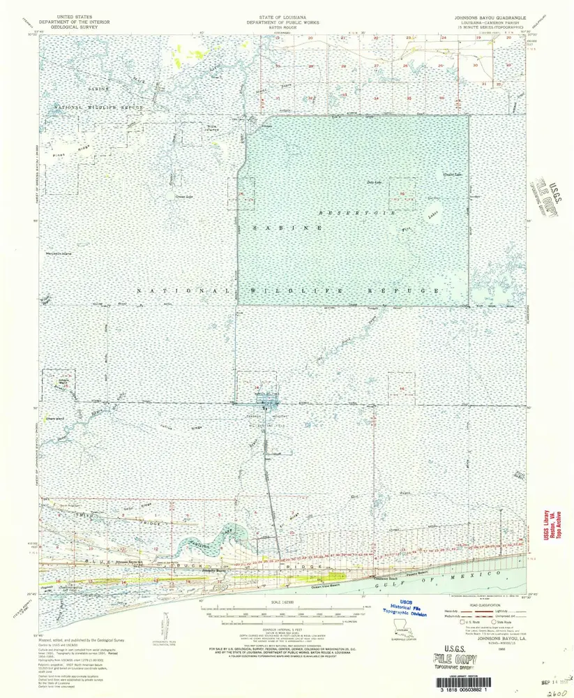
Johnsons Bayou
1955
1:63k
Johnsons Bayou
1955
1:63k
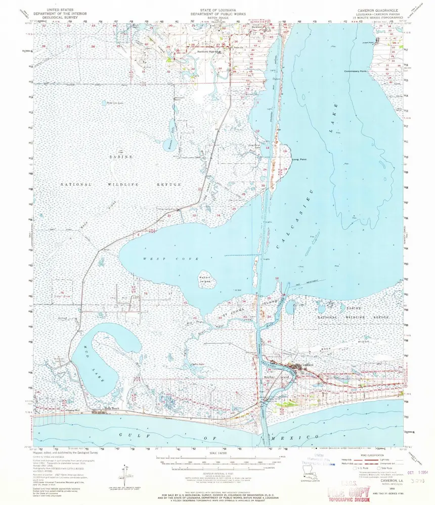
Cameron
1955
1:63k
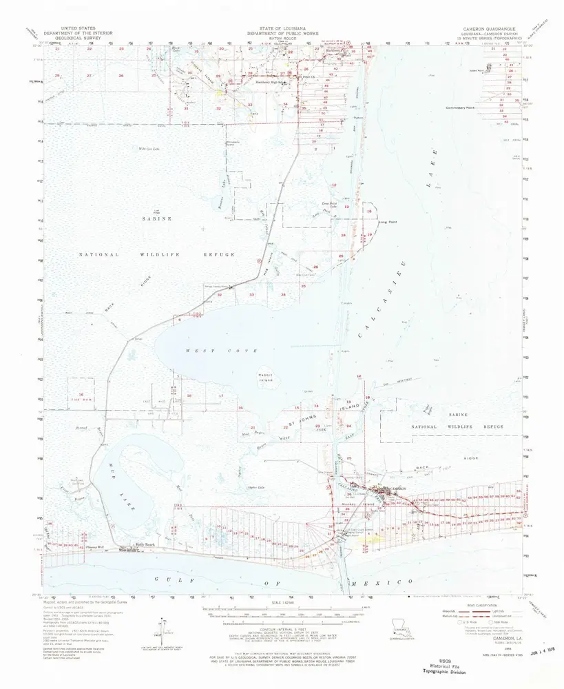
Cameron
1955
1:63k
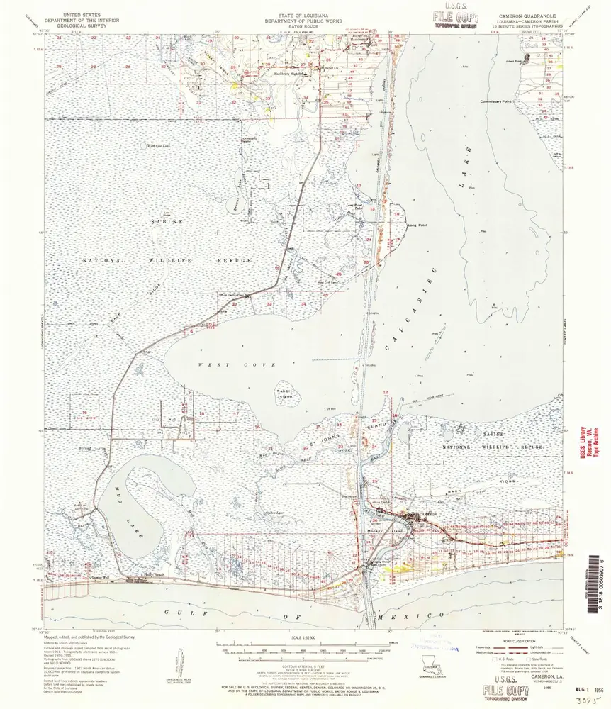
Cameron
1955
1:63k
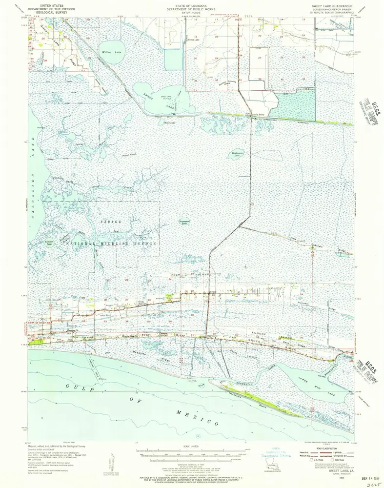
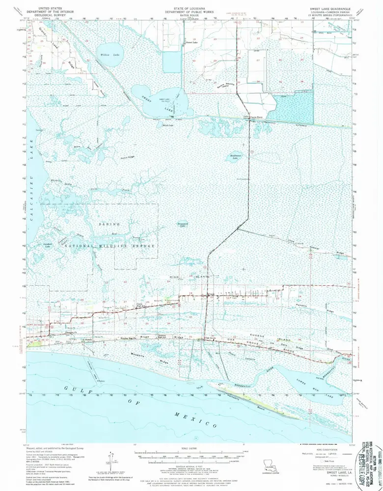
Sweet Lake
1955
1:63k
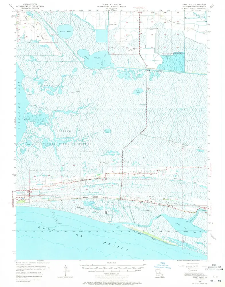
Sweet Lake
1955
1:63k
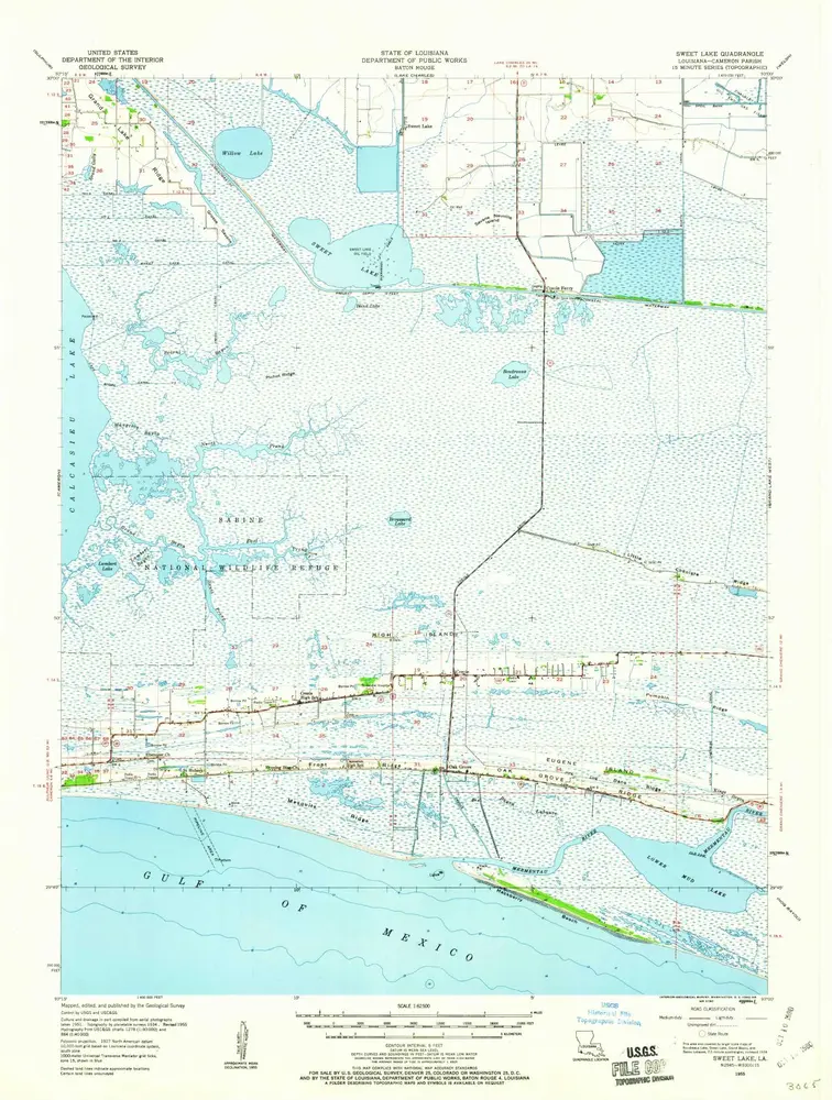
Sweet Lake
1955
1:63k
Sweet Lake
1955
1:63k
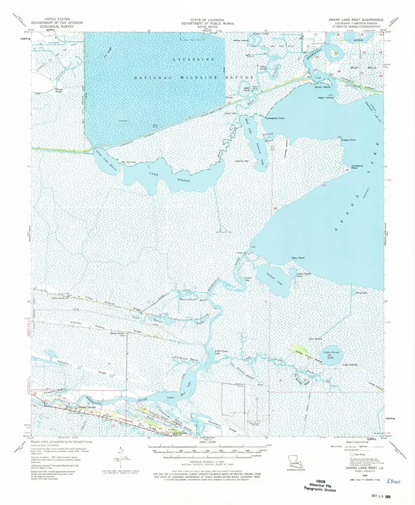
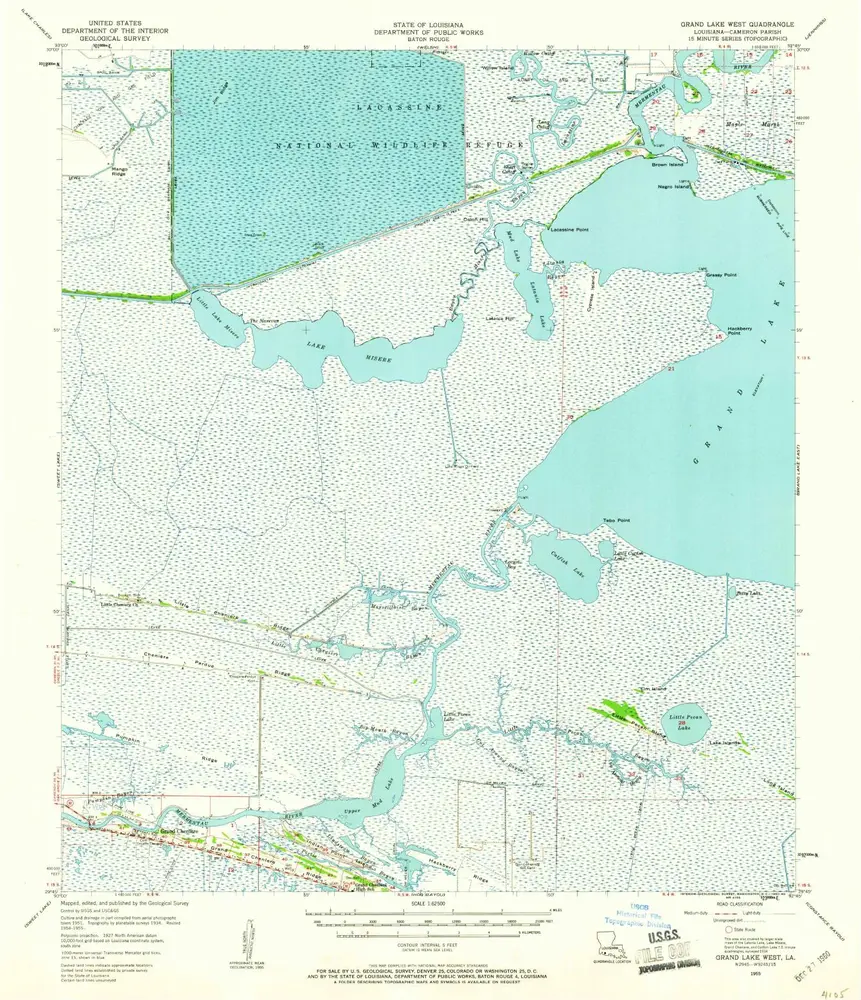
Grand Lake West
1955
1:63k
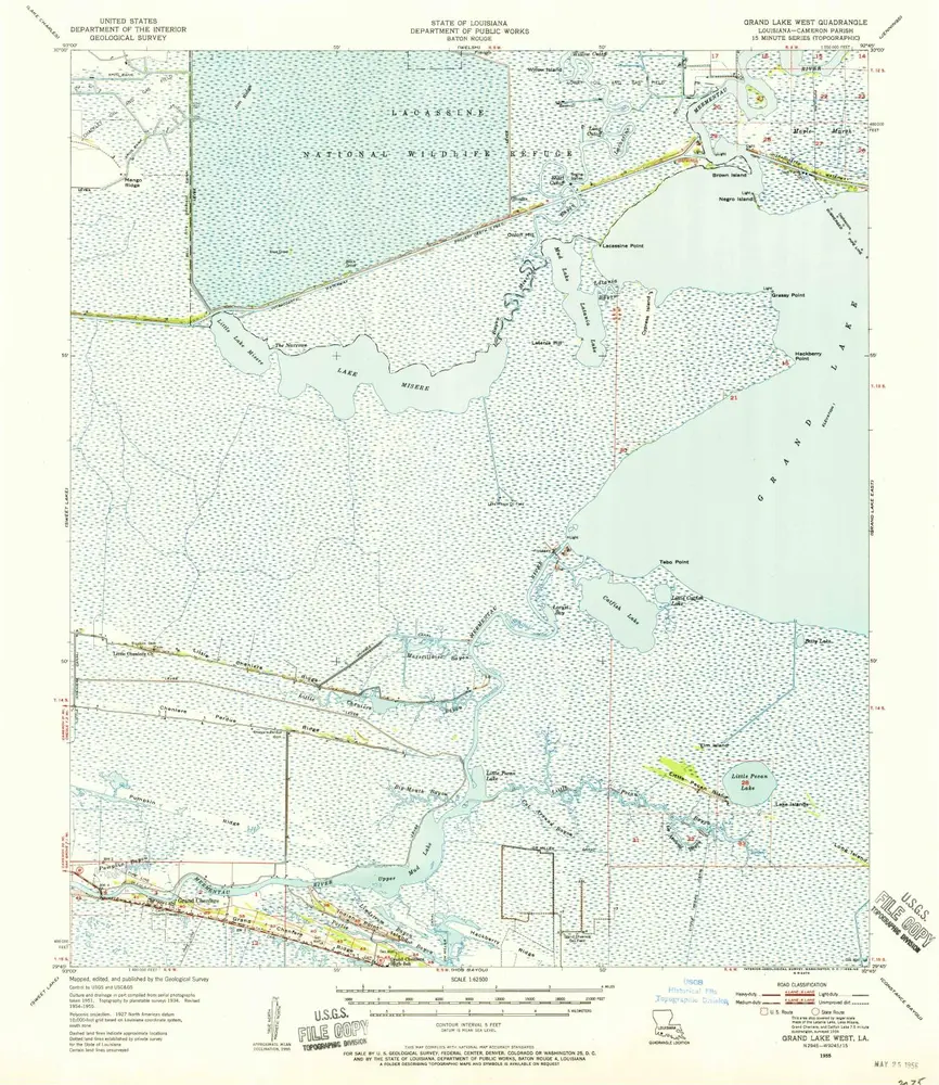
Grand Lake West
1955
1:63k
Grand Lake West
1955
1:63k
L'histoire