Katalogisierte Karte
Pound Ridge

Einrichtung:United States Geological Survey
Vollständiger Titel:Pound Ridge
Jahr der Abbildung:1947
Maßstab der Karte:1:24 000

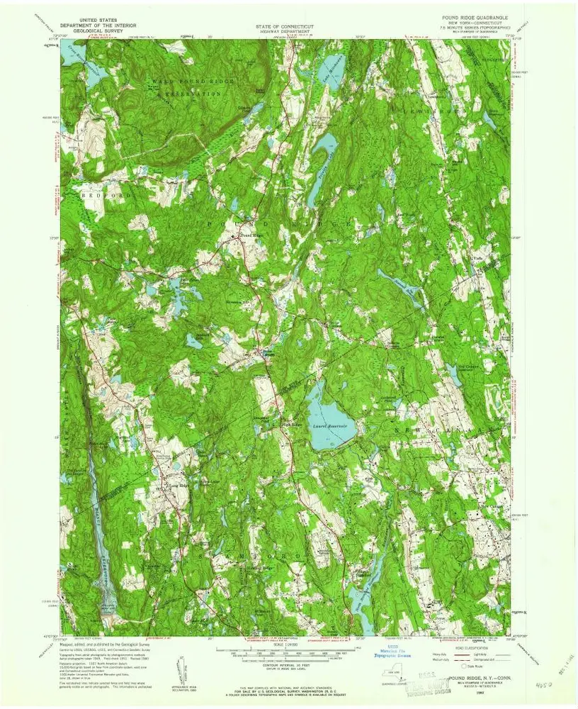
Pound Ridge
1960
1:24k
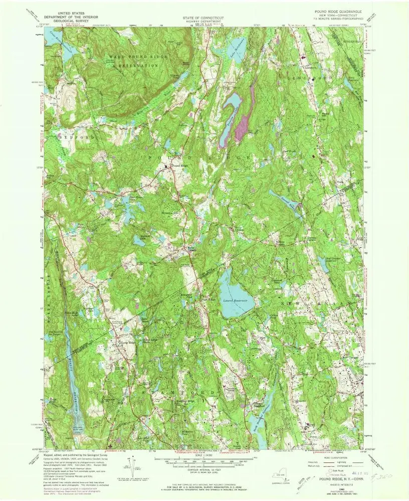
Pound Ridge
1960
1:24k
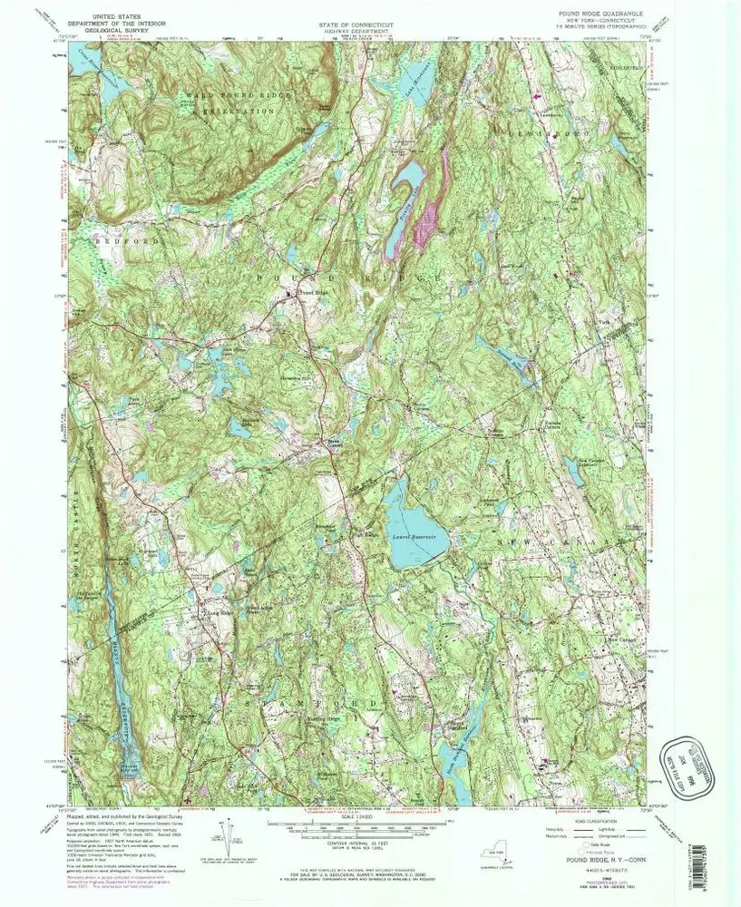
Pound Ridge
1960
1:24k
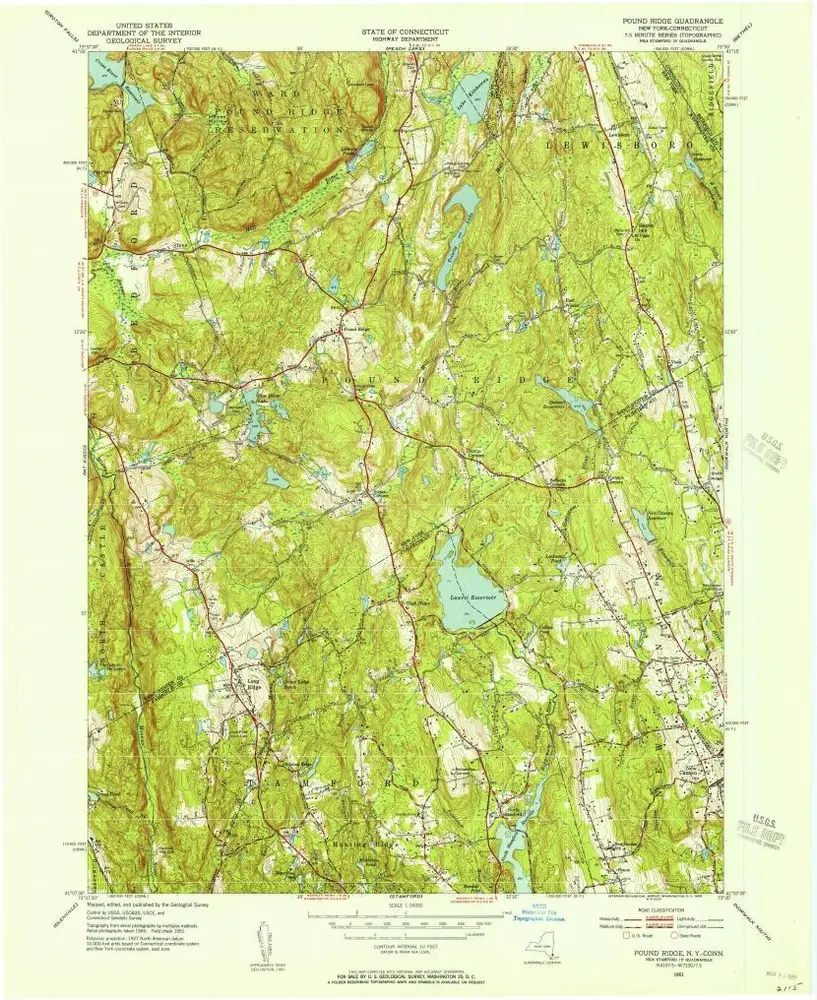
Pound Ridge
1960
1:24k
Pound Ridge
1951
1:24k
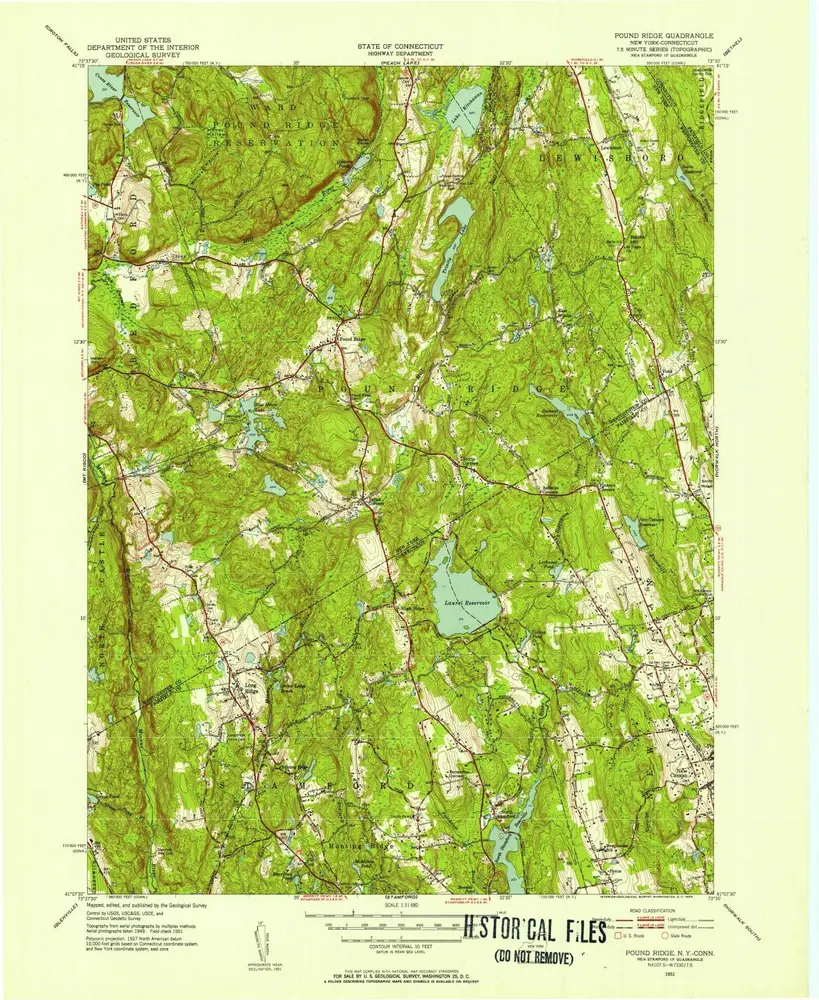
Pound Ridge
1951
1:32k
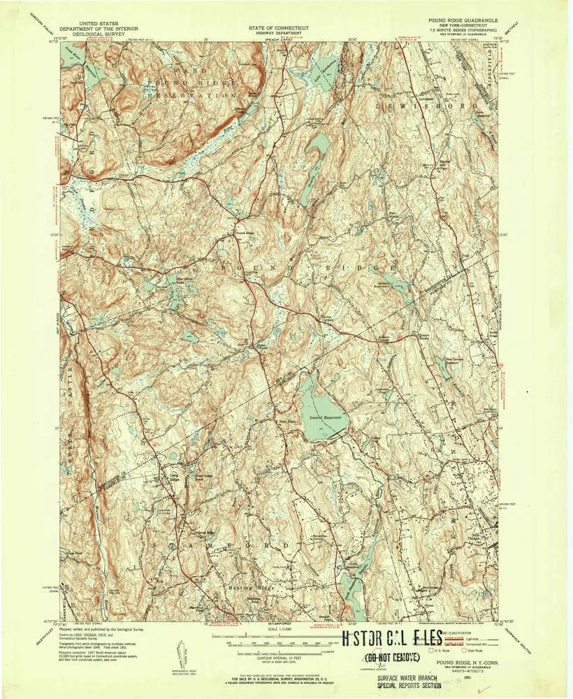
Pound Ridge
1951
1:32k

Pound Ridge
1947
1:24k

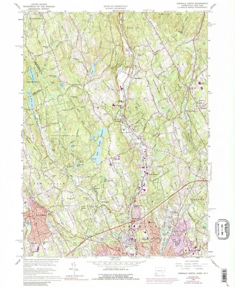
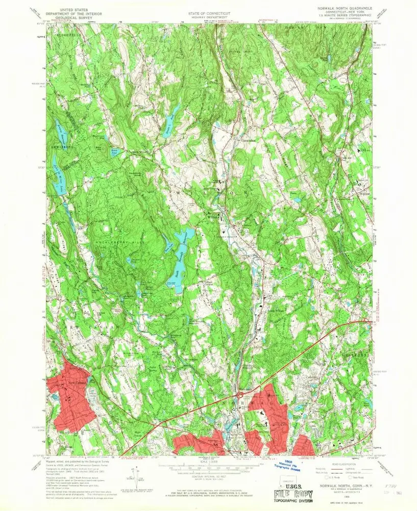
Norwalk North
1960
1:24k
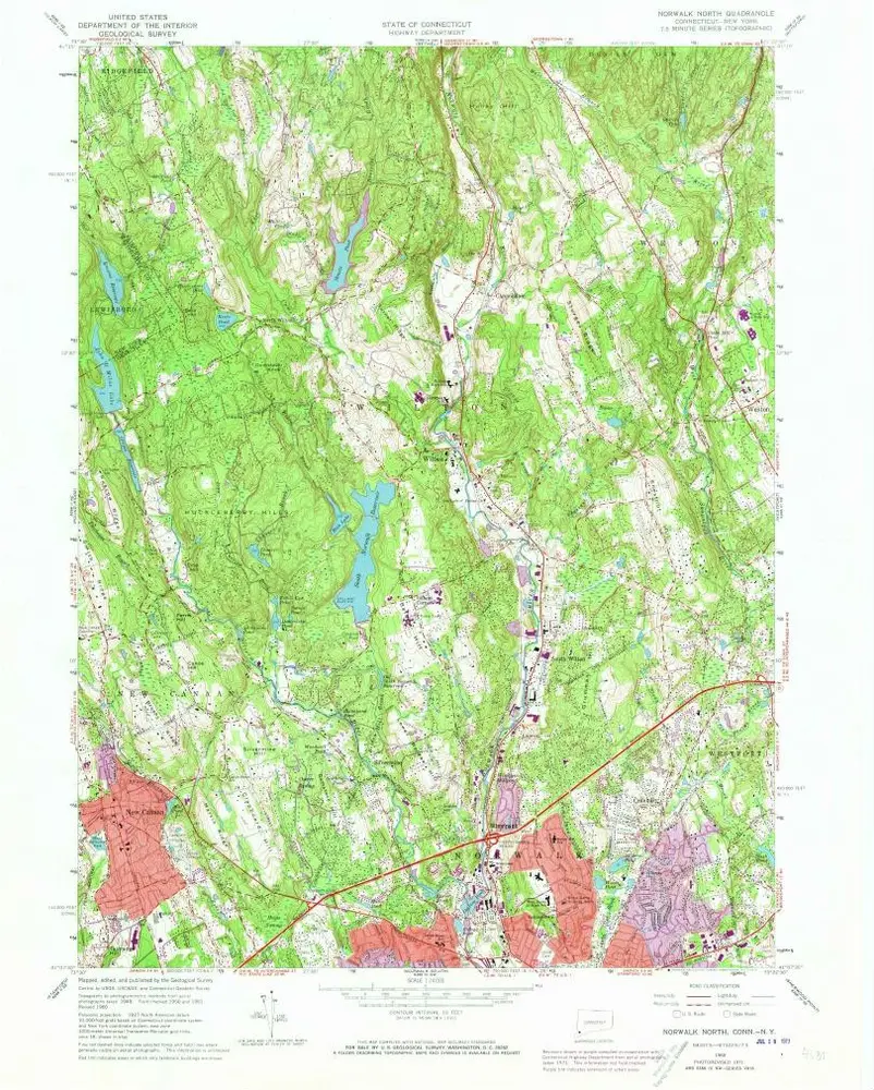
Norwalk North
1960
1:24k
Norwalk North
1960
1:24k
Norwalk North
1960
1:24k
Norwalk North
1960
1:24k
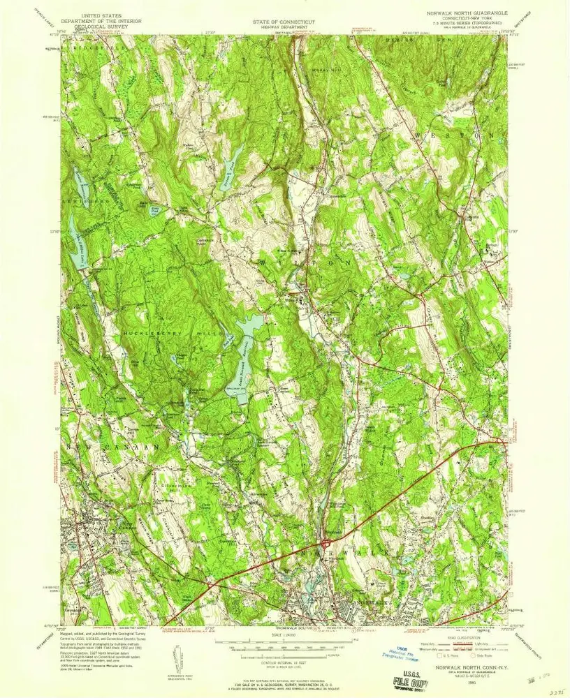
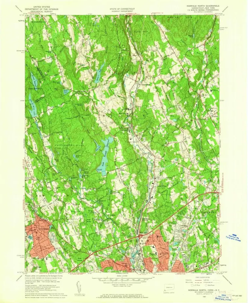
Norwalk North
1951
1:24k
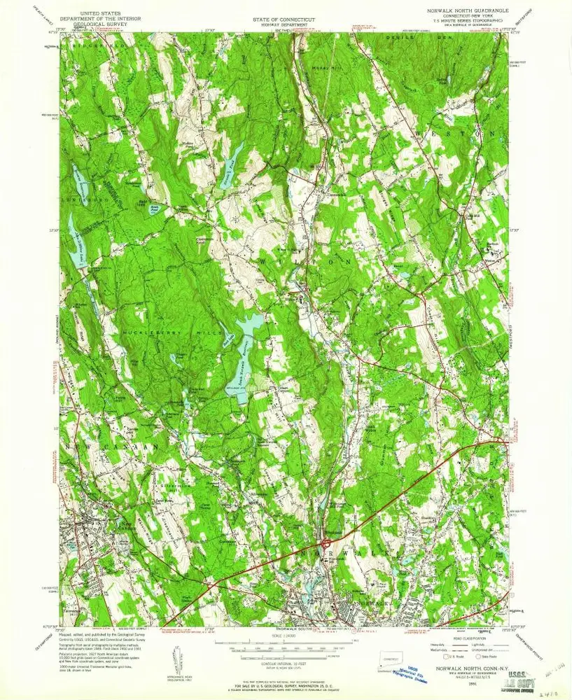
Norwalk North
1951
1:24k
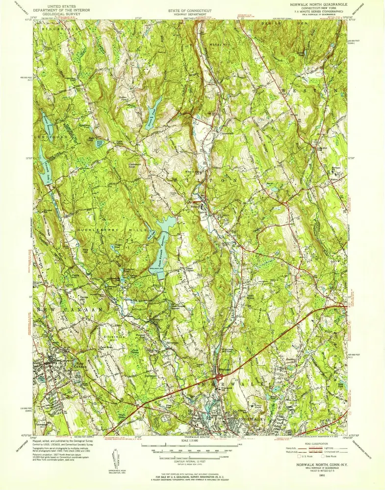
Norwalk North
1951
1:32k
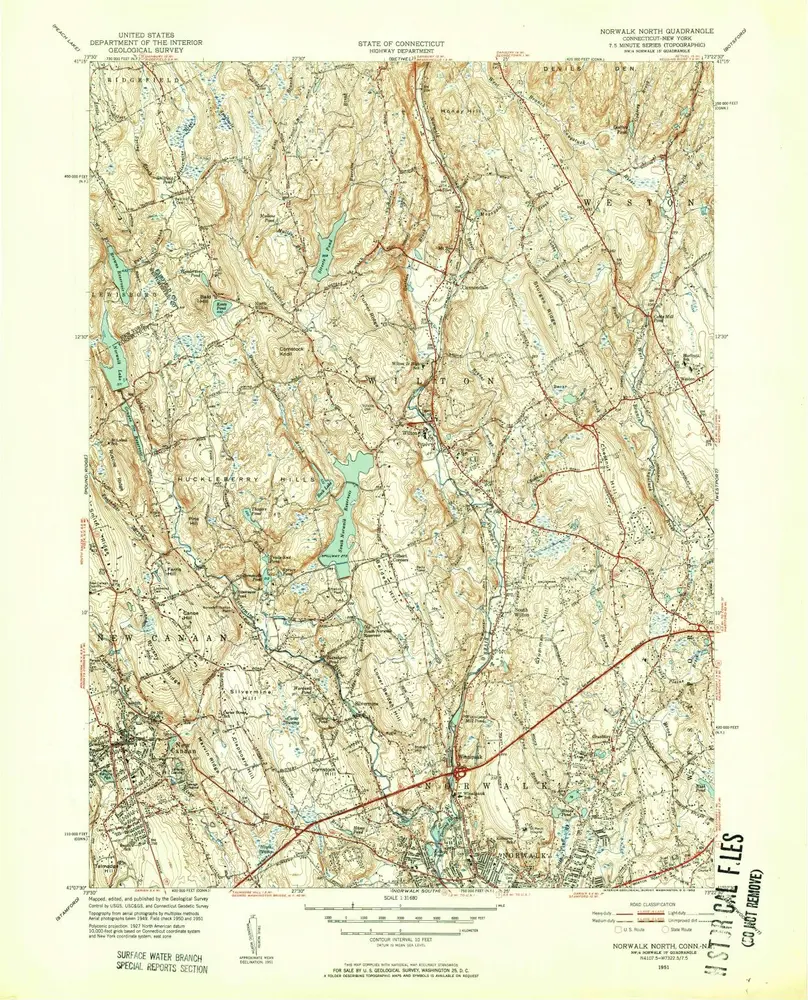
Norwalk North
1951
1:32k
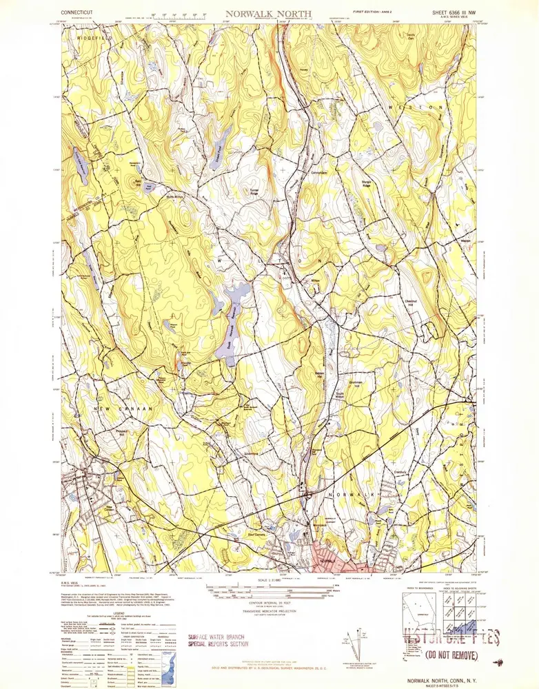
Norwalk North
1943
1:32k
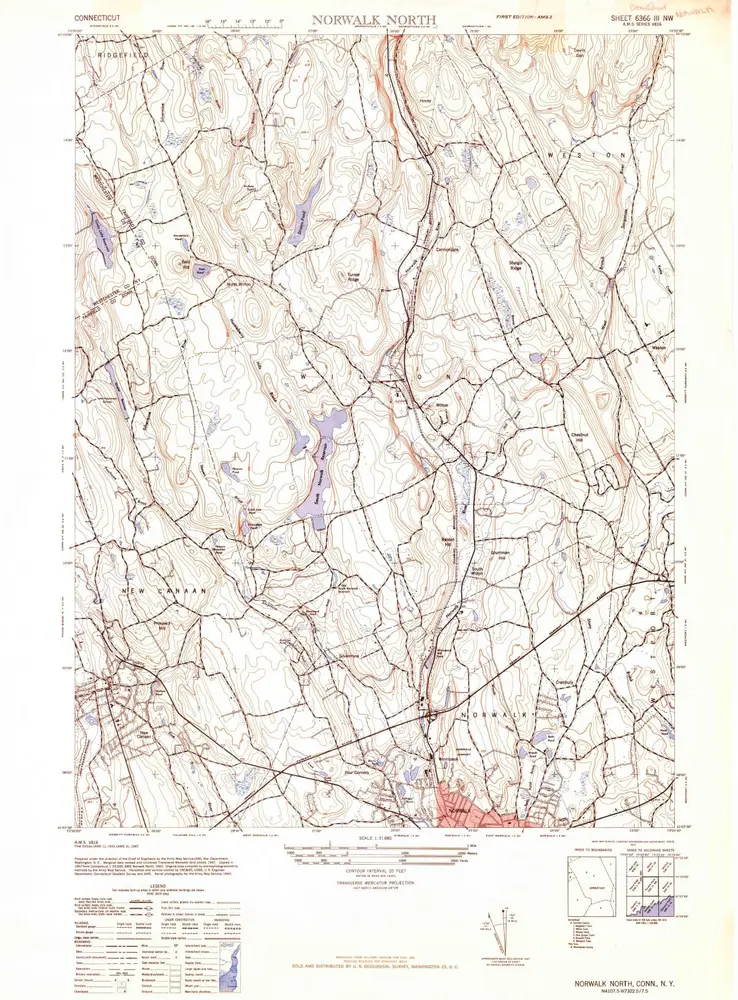
Norwalk North
1943
1:32k