Projekt
Komunita
Novinky
Moje aplikace
Moje mapy
Cataloged map
Plymouth
Zobrazit na externích webových stránkách
Zobrazit digitalizované
Institution:
United States Geological Survey
Full title:
Plymouth
Depicted:
1943
Map scale:
1:125 000
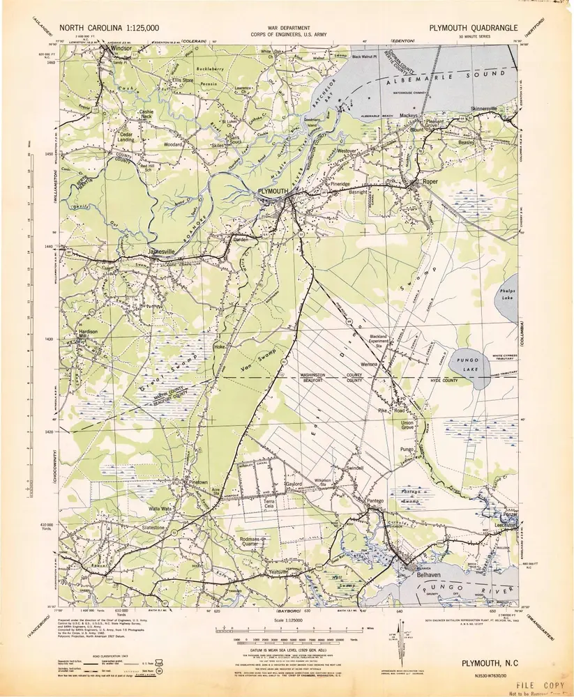
Plymouth
1943
1:125k
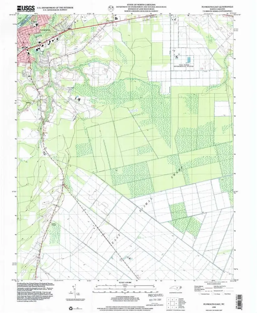
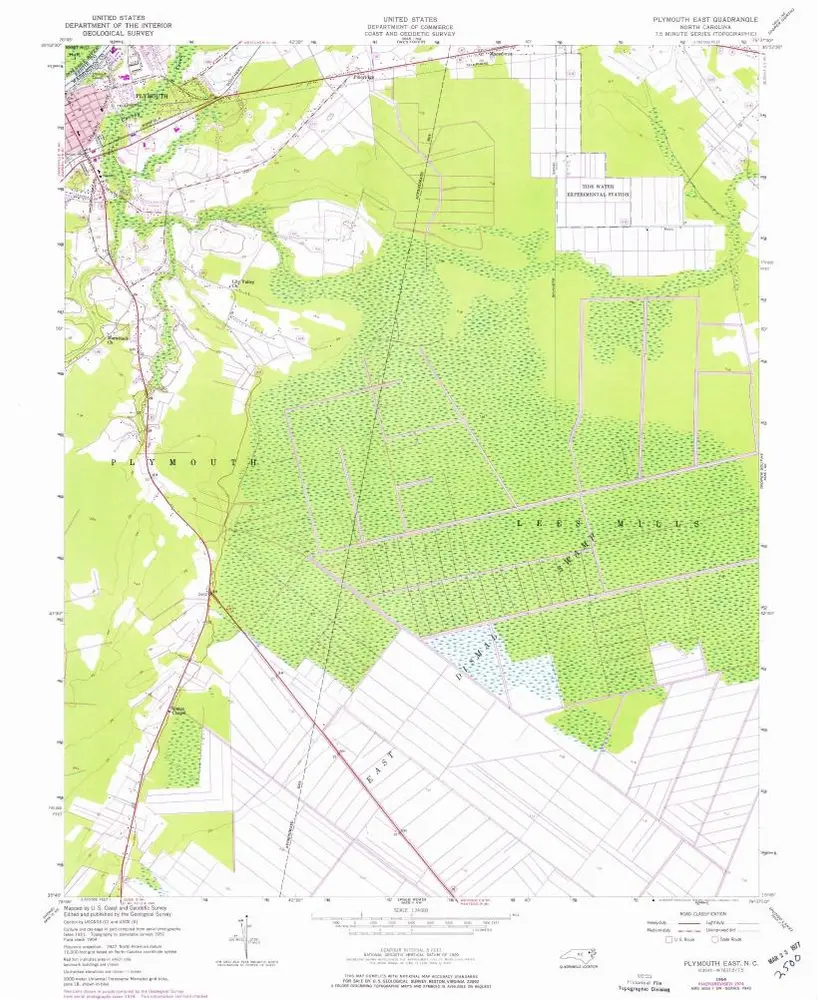
Plymouth East
1998
1:24k
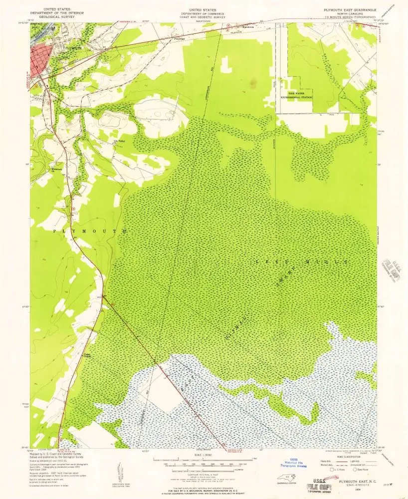
Plymouth East
1954
1:24k
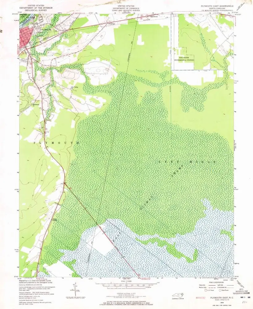
Plymouth East
1954
1:24k
Plymouth East
1954
1:24k
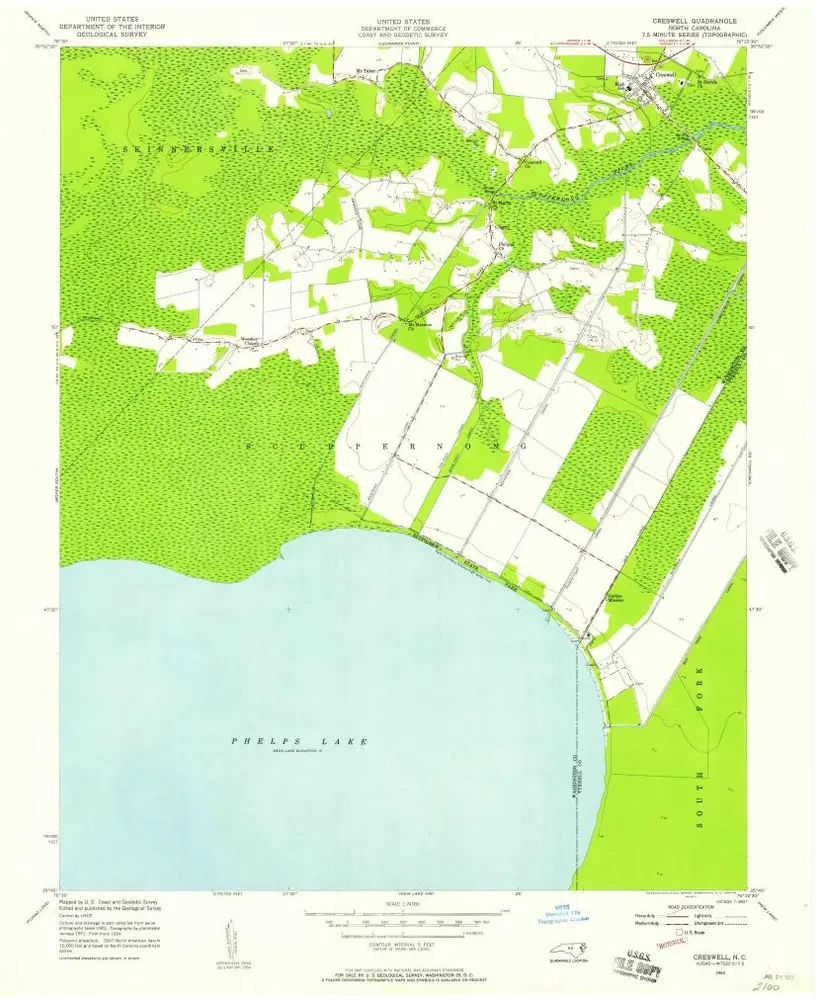
Creswell
1954
1:24k
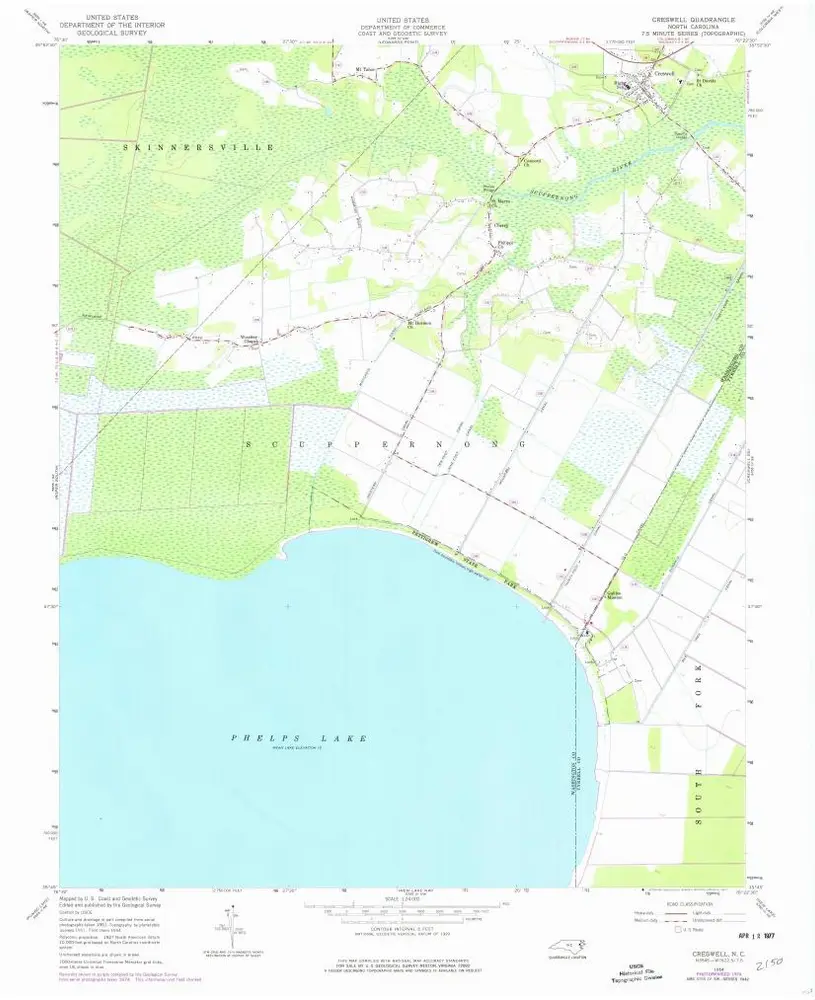
Creswell
1954
1:24k
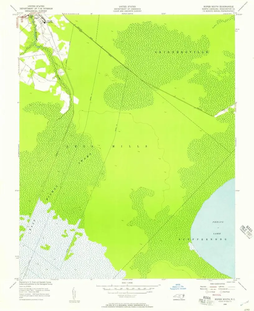
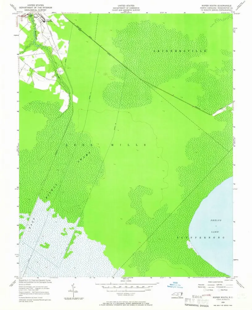
Roper South
1954
1:24k
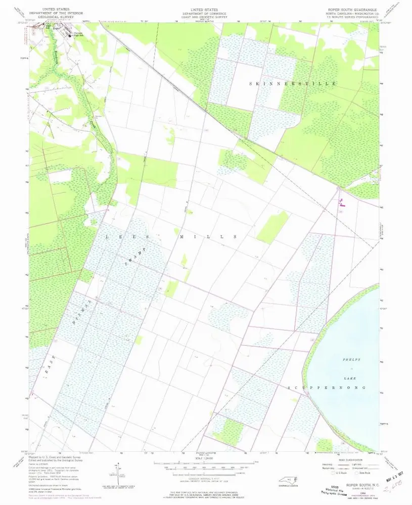
Roper South
1954
1:24k
Roper South
1954
1:24k
History