Projekt
Komunita
Novinky
Moje aplikace
Moje mapy
Katalogisierte Karte
Red Lodge East
Zobrazit na externích webových stránkách
Zobrazit digitalizované
Einrichtung:
United States Geological Survey
Vollständiger Titel:
Red Lodge East
Jahr der Abbildung:
1969
Veröffentlichungsdatum:
1973
Maßstab der Karte:
1:24 000
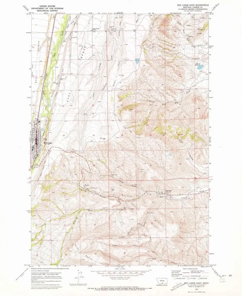
Red Lodge East
1996
1:24k
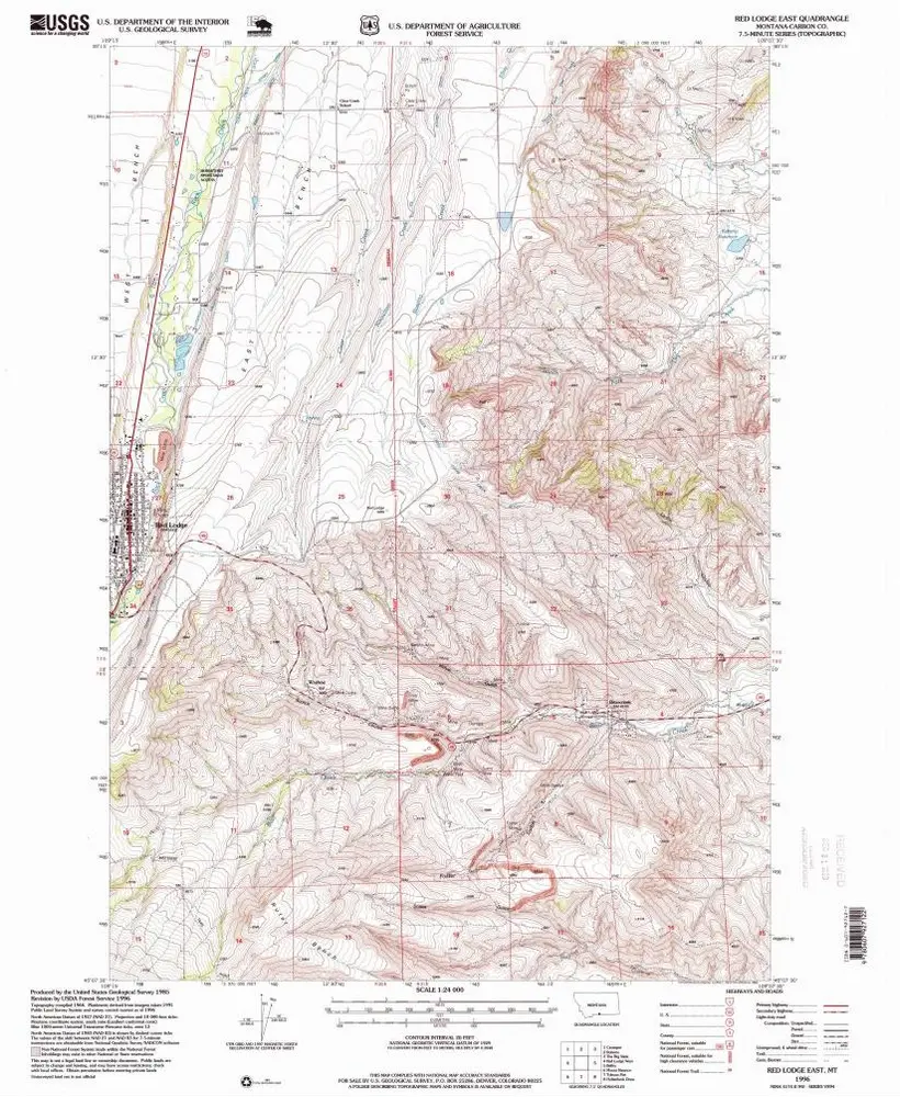
Red Lodge East
1969
1:24k
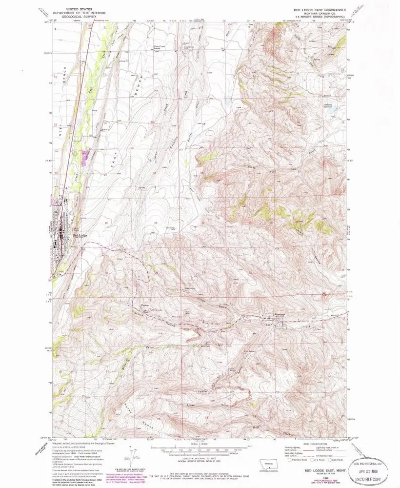
Red Lodge East
1969
1:24k
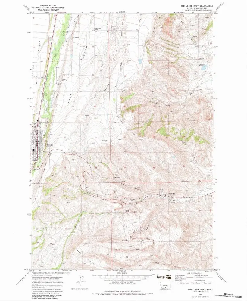
Red Lodge East
1969
1:24k
Red Lodge
1944
1:63k
Red Lodge
1944
1:63k
Red Lodge
1944
1:63k
Red Lodge
1989
1:100k
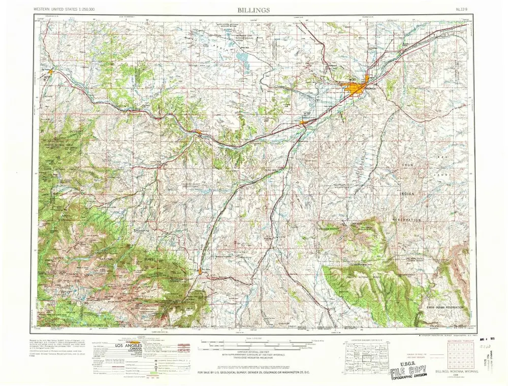
Billings
1958
1:250k
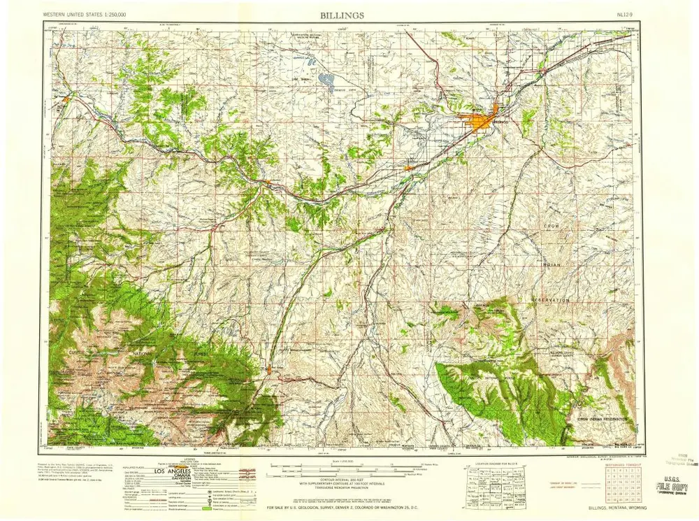
Billings
1954
1:250k
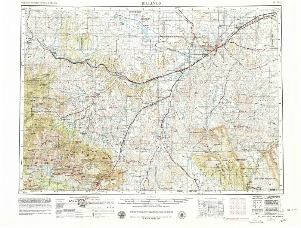
Billings
1954
1:250k
Geschichte