Projekt
Komunita
Novinky
Moje aplikace
Moje mapy
Carte cataloguée
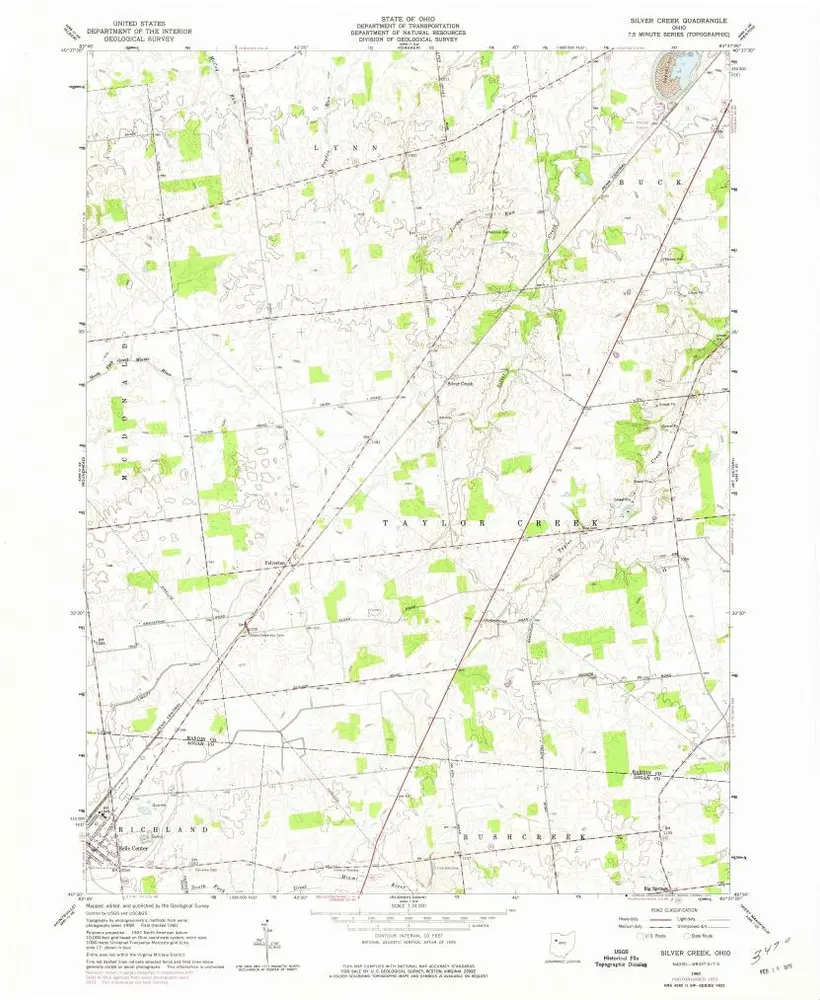
Silver Creek
Zobrazit na externích webových stránkách
View digitized
Institution:
United States Geological Survey
Titre complet:
Silver Creek
Année de l'image:
1960
Date de publication:
1975
Échelle de la carte:
1:24 000
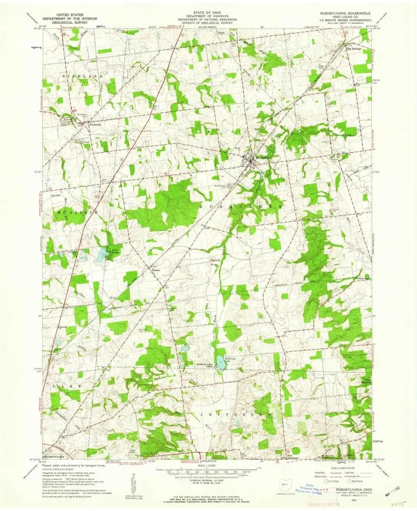
Rushsylvania
1961
1:24k
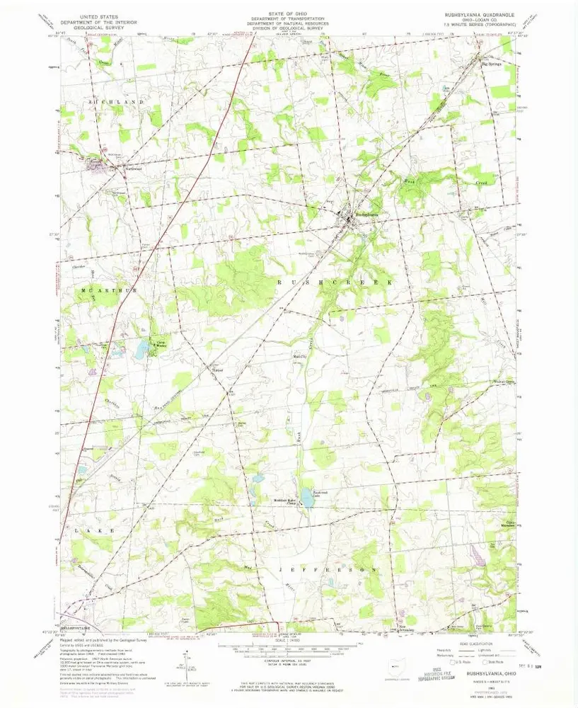
Rushsylvania
1961
1:24k
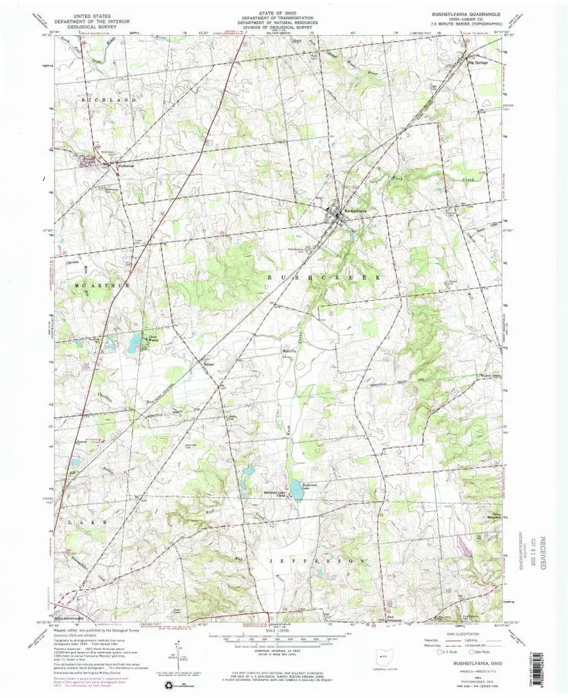
Rushsylvania
1961
1:24k
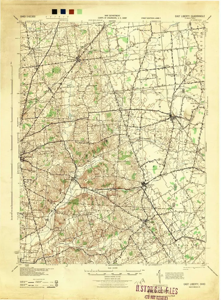
East Liberty
1944
1:63k
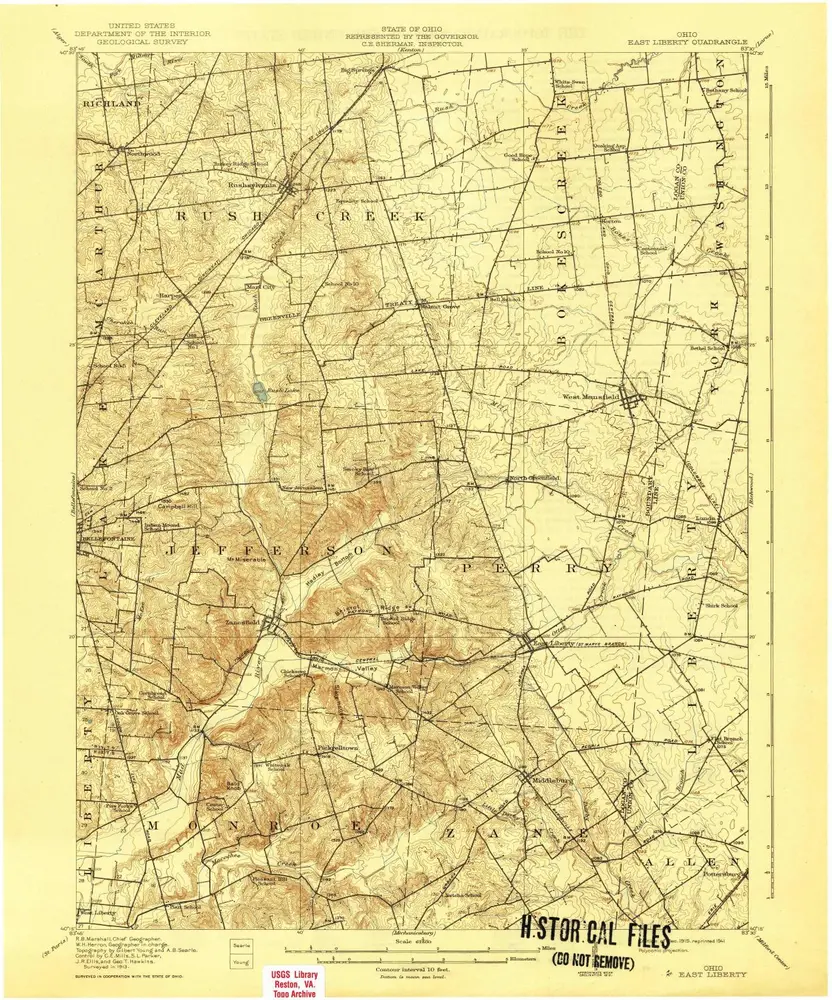
East Liberty
1915
1:63k
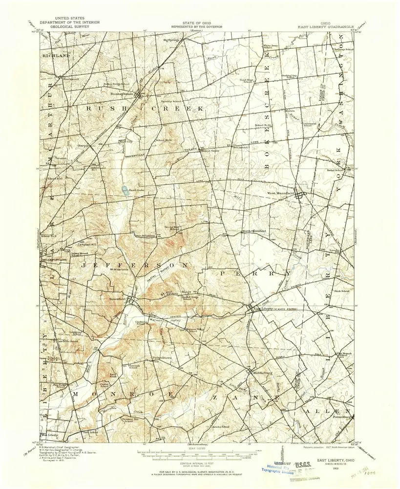
East Liberty
1913
1:63k
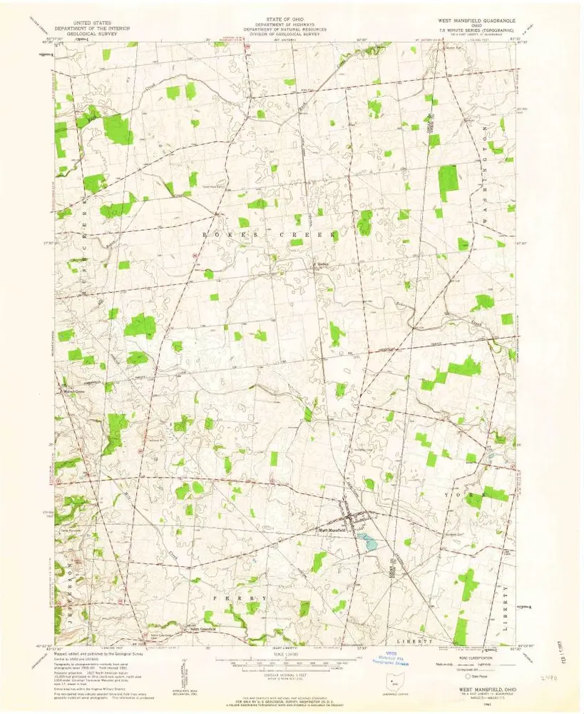
West Mansfield
1961
1:24k
West Mansfield
1961
1:24k
West Mansfield
1961
1:24k
Silver Creek
1960
1:24k
Silver Creek
1960
1:24k
L'histoire