Projekt
Komunita
Novinky
Moje aplikace
Moje mapy
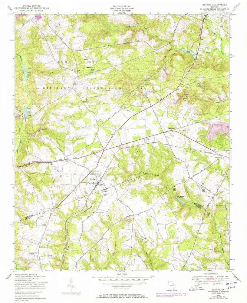
Carte cataloguée
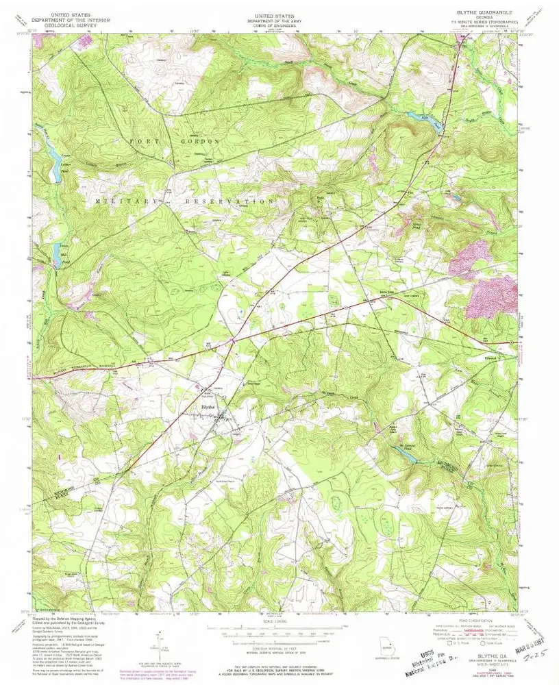
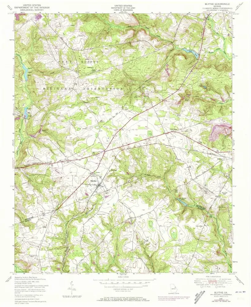
Blythe
Zobrazit na externích webových stránkách
View digitized
Institution:
United States Geological Survey
Titre complet:
Blythe
Année de l'image:
1948
Date de publication:
1981
Échelle de la carte:
1:24 000
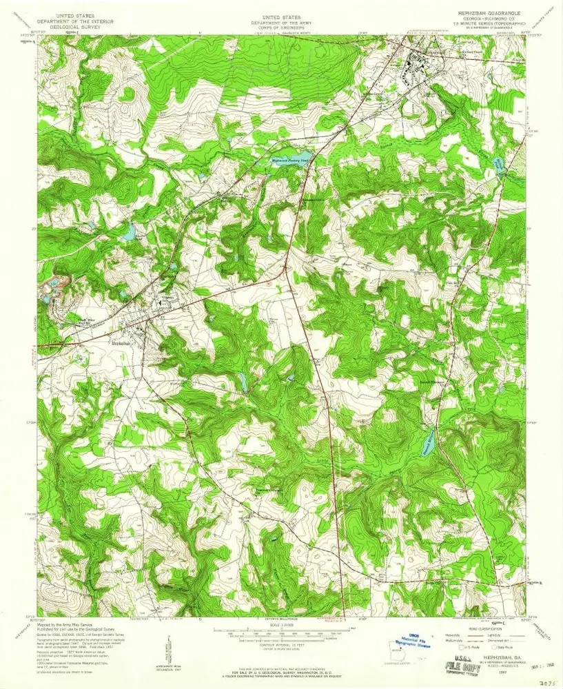
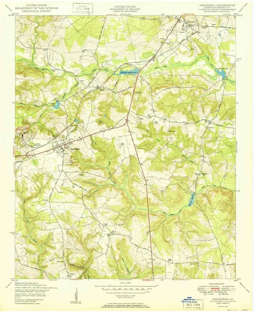
Hephzibah
1957
1:24k
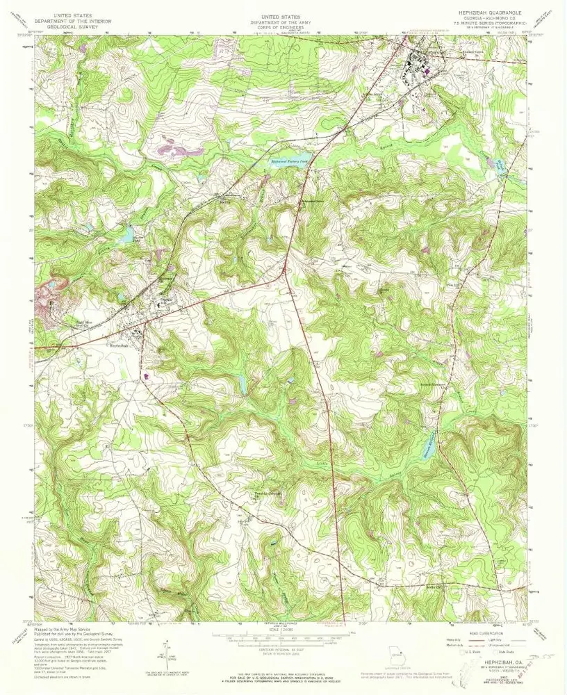
Hephzibah
1957
1:24k
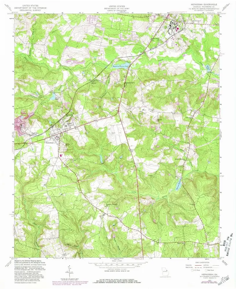
Hephzibah
1957
1:24k
Hephzibah
1950
1:24k
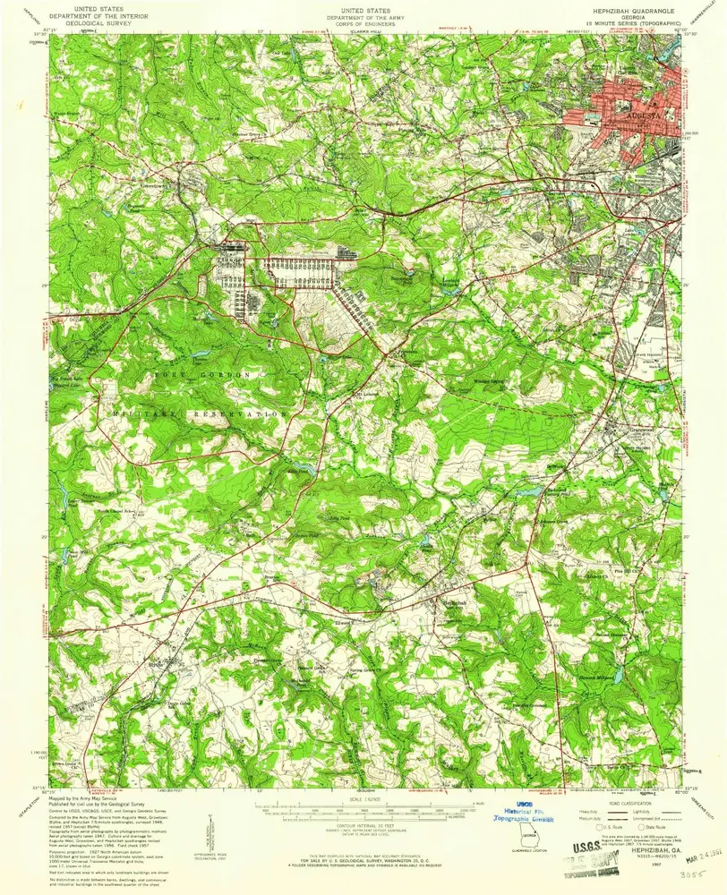
Hephzibah
1957
1:63k
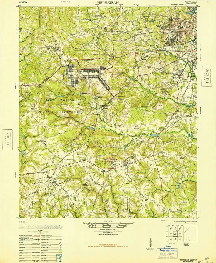
Hephzibah
1948
1:63k
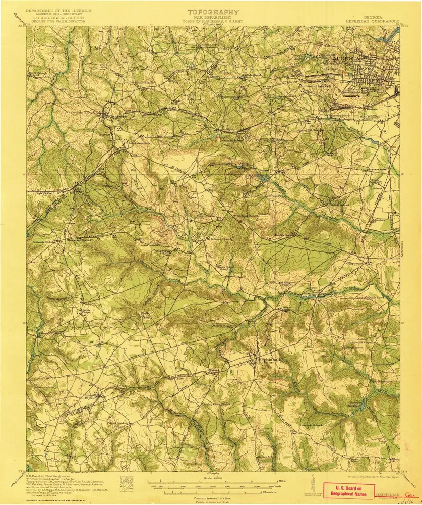
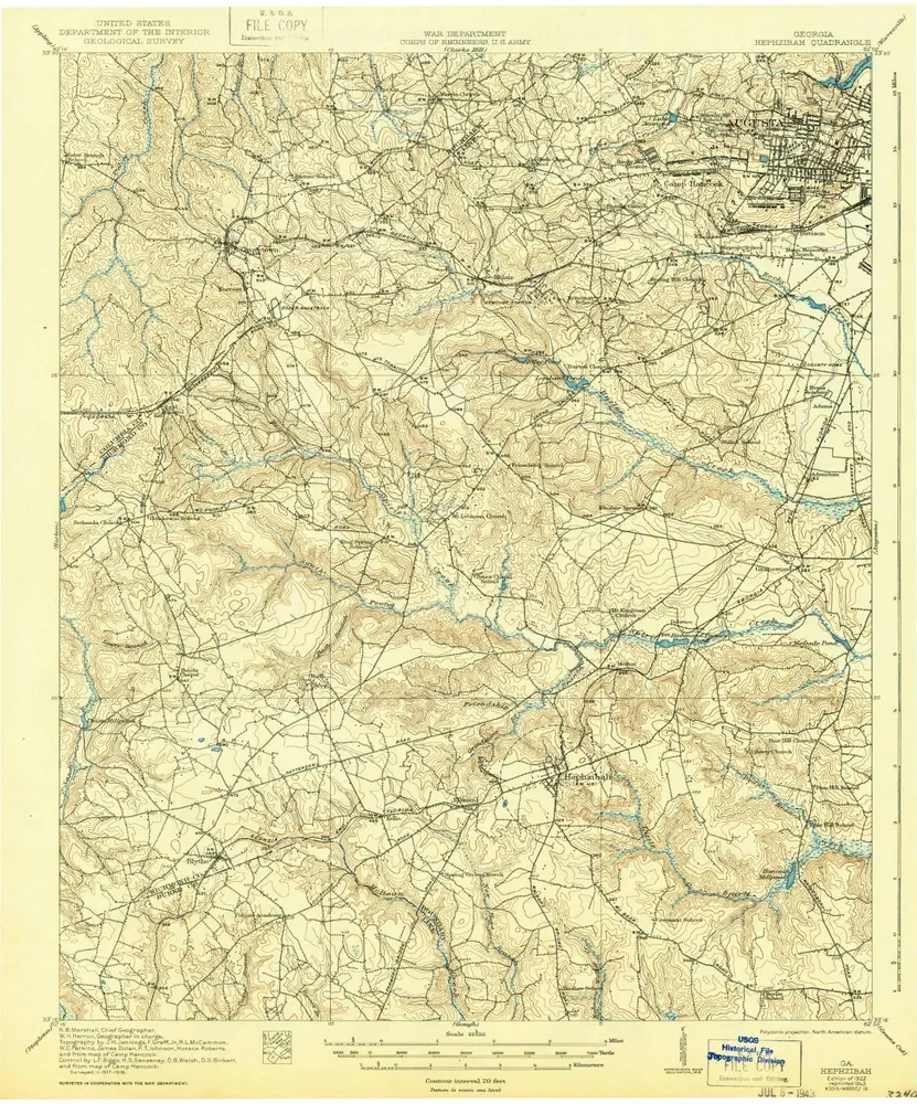
Hephzibah
1922
1:63k
Hephzibah
1922
1:63k
Blythe
1953
1:24k
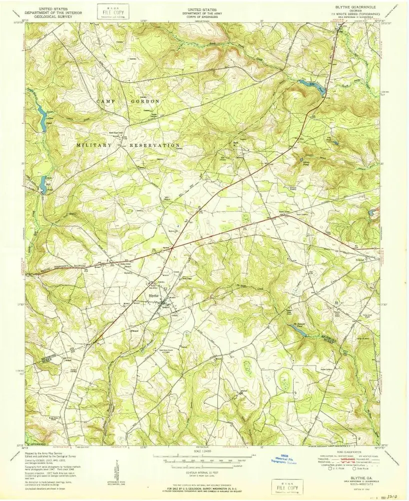
Blythe
1948
1:24k
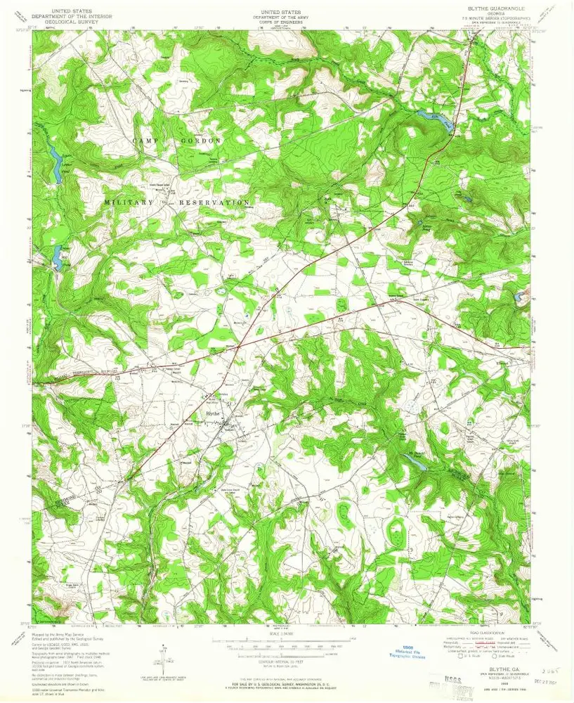
Blythe
1948
1:24k
Blythe
1948
1:24k
Blythe
1948
1:24k
L'histoire