Projekt
Komunita
Novinky
Moje aplikace
Moje mapy
Cataloged map
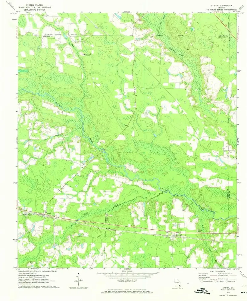
Axson
Zobrazit na externích webových stránkách
Zobrazit digitalizované
Institution:
United States Geological Survey
Full title:
Axson
Depicted:
1971
Pubdate:
1974
Map scale:
1:24 000
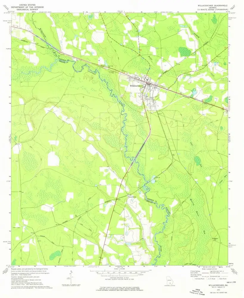
Willacoochee
1972
1:24k
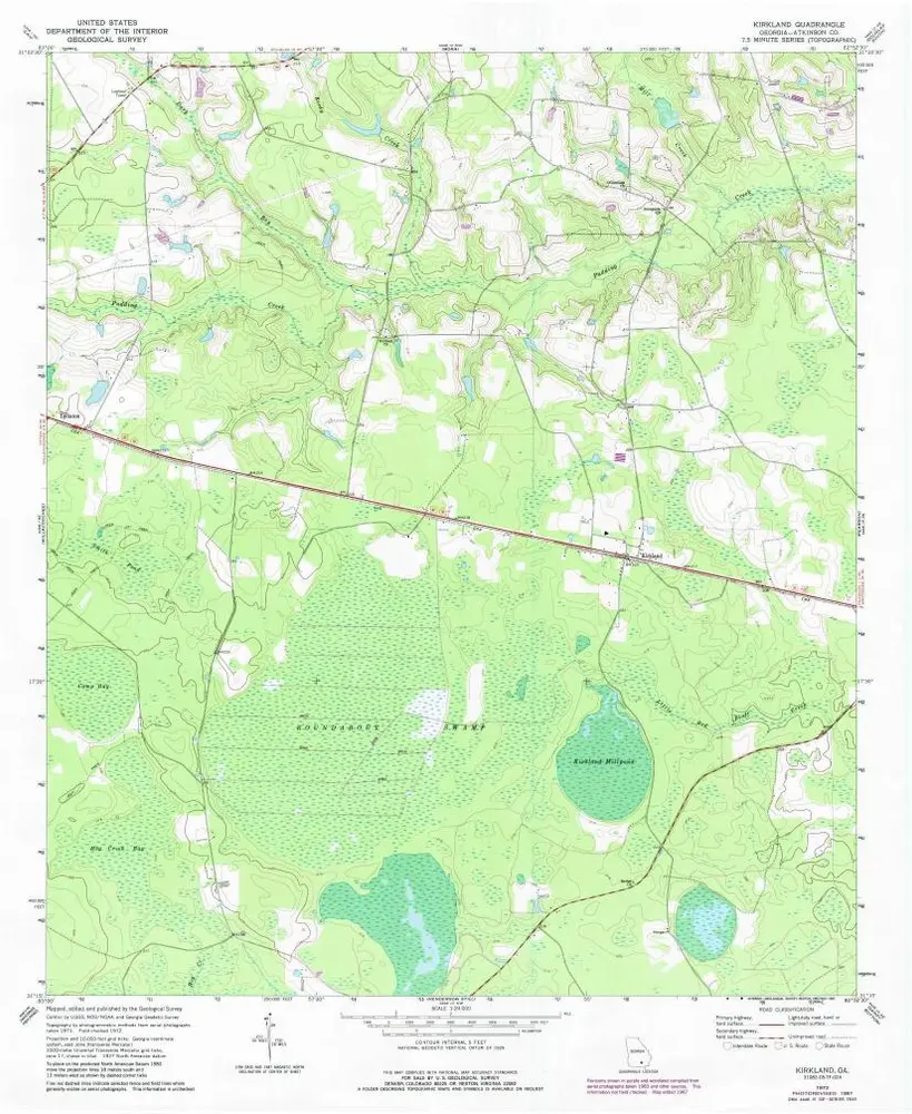
Kirkland
1972
1:24k
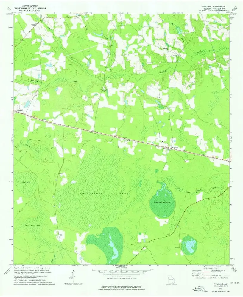
Kirkland
1972
1:24k
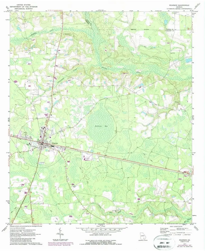
Pearson
1971
1:24k
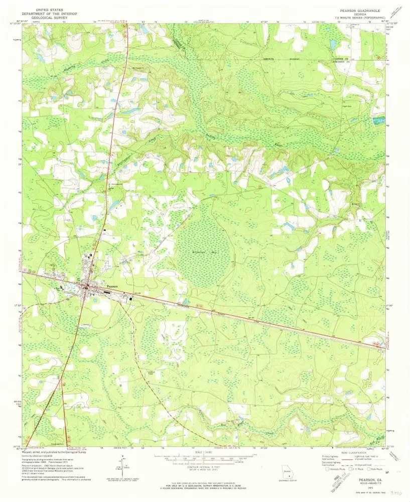
Pearson
1971
1:24k
Axson
1971
1:24k
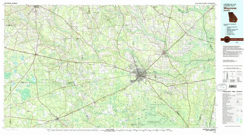
Waycross
1978
1:100k
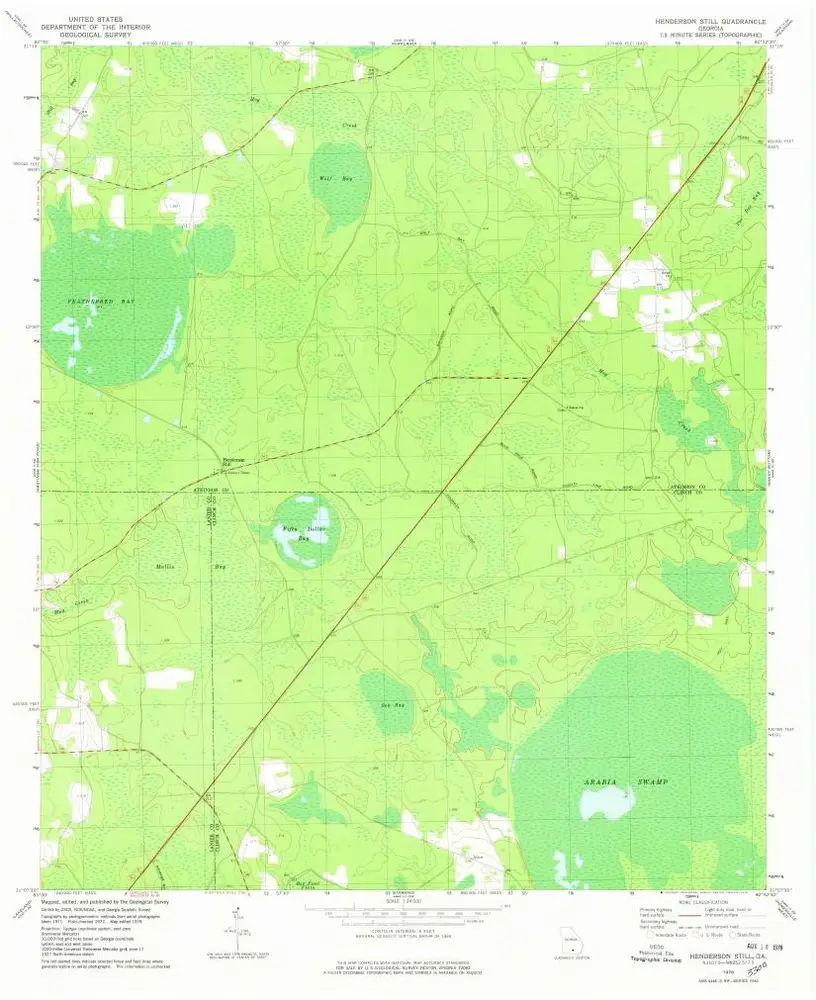
Henderson Still
1978
1:24k
Hastings Fish Pond
1977
1:24k
Henderson Still
1972
1:24k
Sandy Bottom
1972
1:24k
Sandy Bottom
1972
1:24k
History