Projekt
Komunita
Novinky
Moje aplikace
Moje mapy
Cataloged map
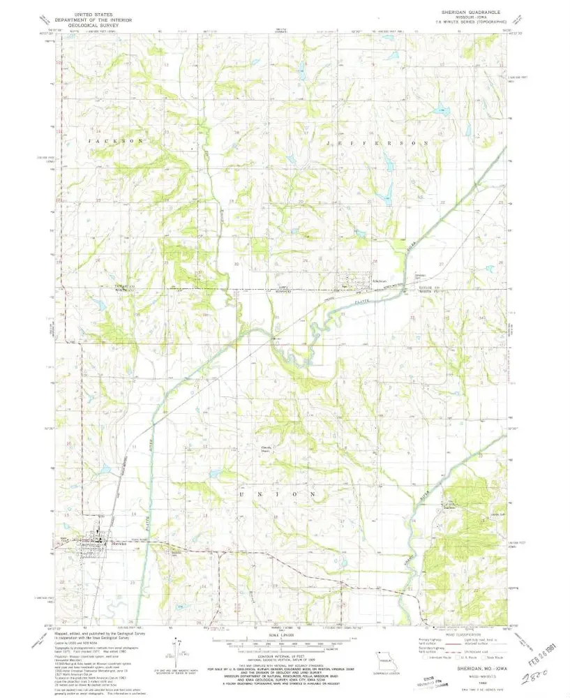
Sheridan
Zobrazit na externích webových stránkách
Zobrazit digitalizované
Institution:
United States Geological Survey
Full title:
Sheridan
Depicted:
1980
Pubdate:
1981
Map scale:
1:24 000
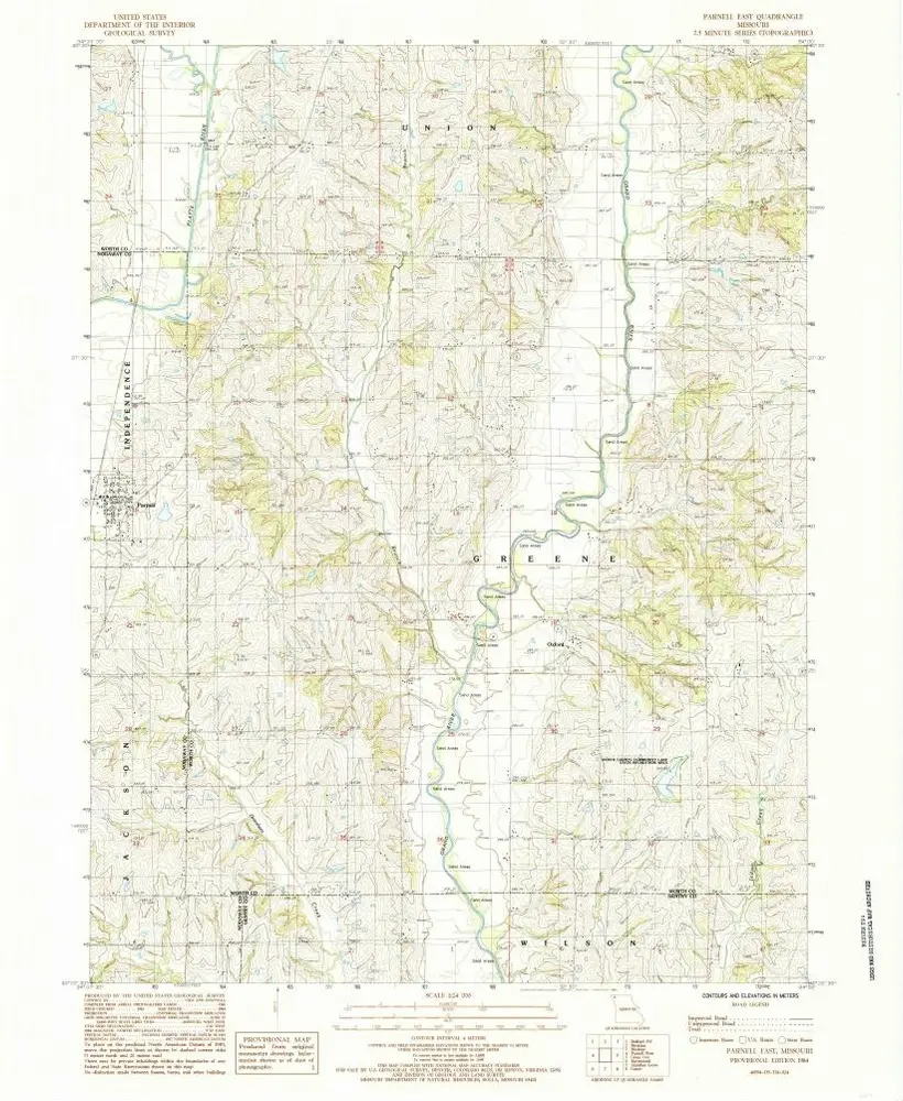
Parnell East
1984
1:24k
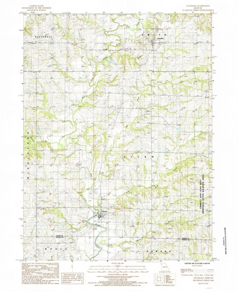
Allendale
1984
1:24k
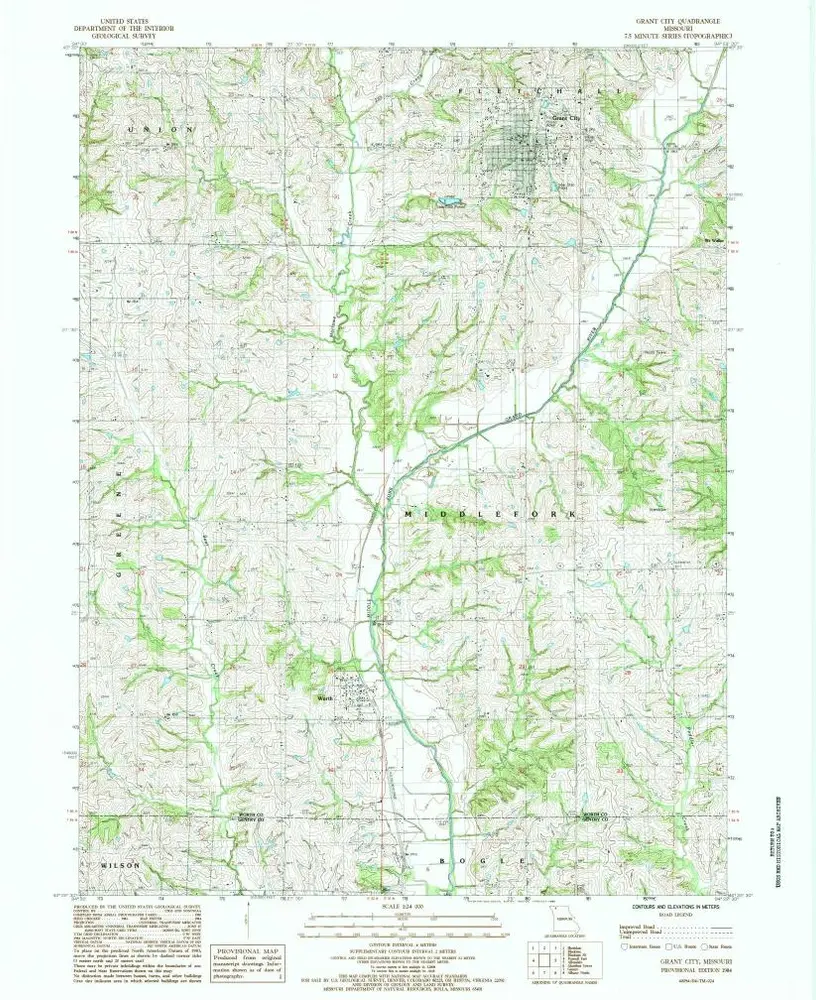
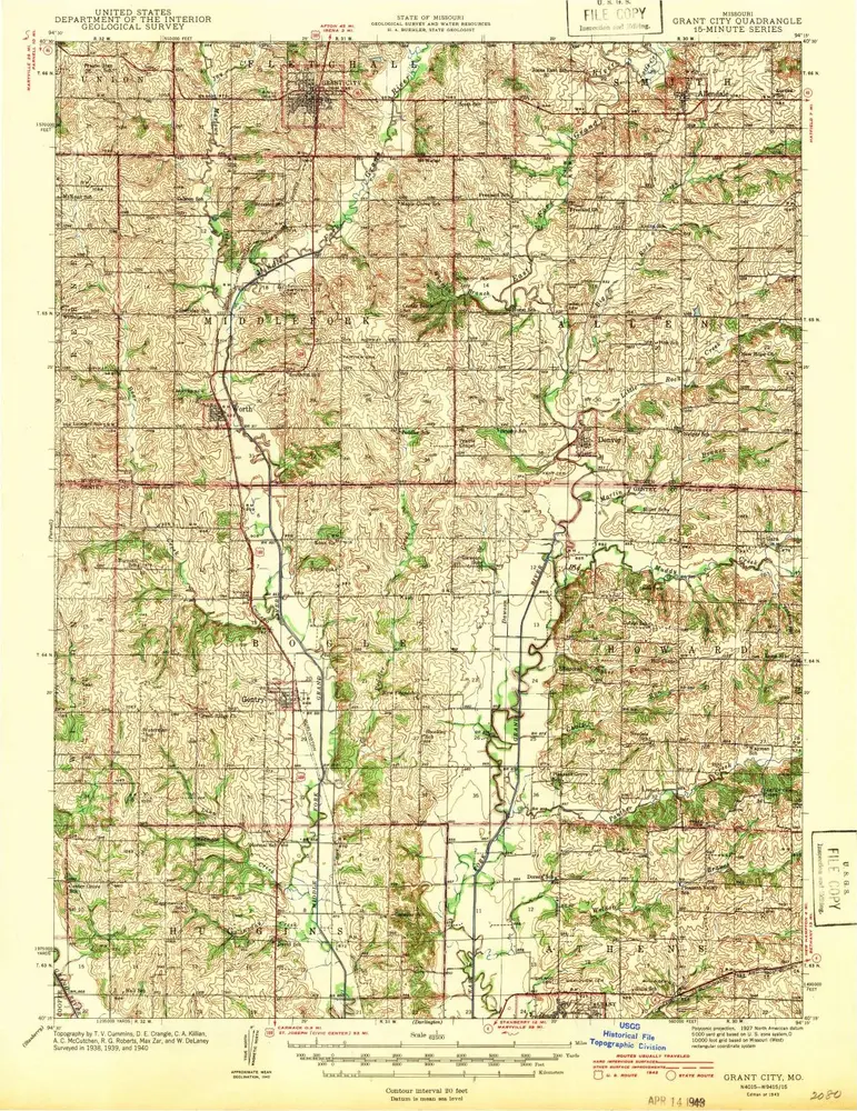
Grant City
1984
1:24k
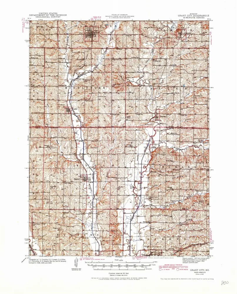
Grant City
1943
1:63k
Grant City
1943
1:63k
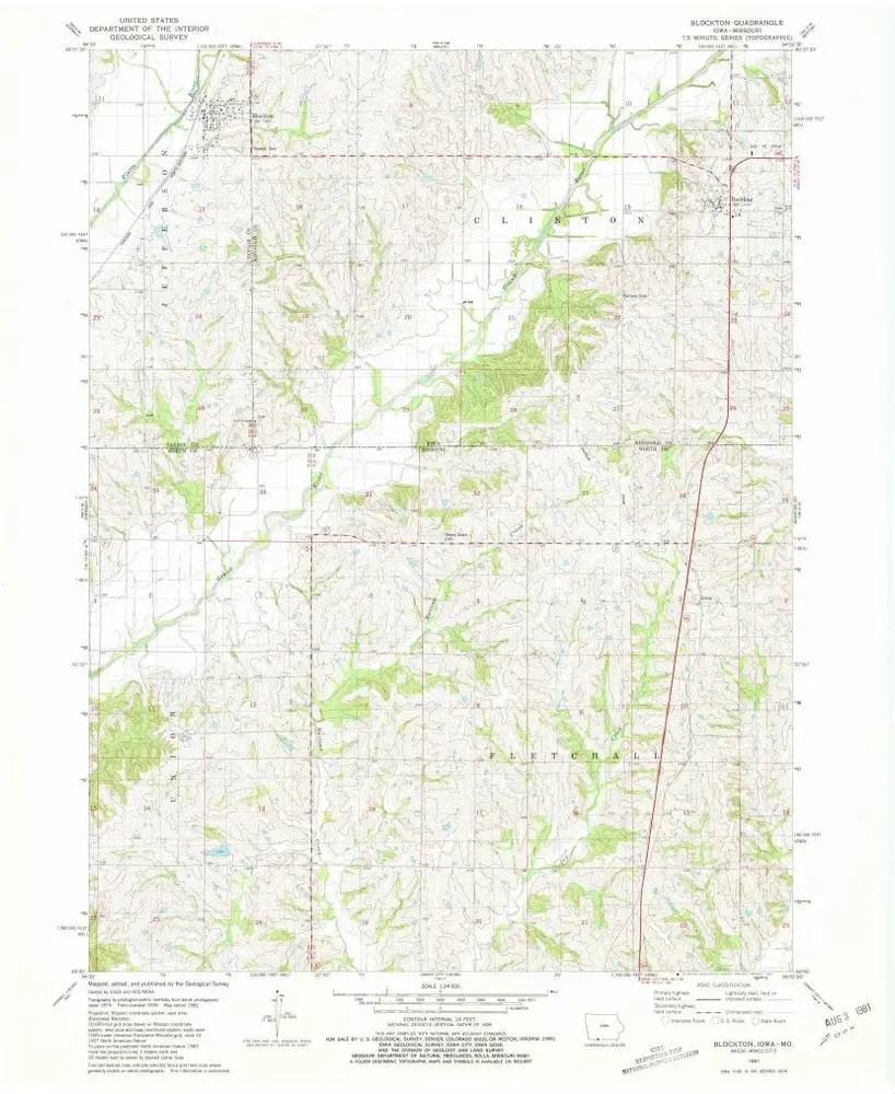
Blockton
1981
1:24k
Sheridan
1980
1:24k
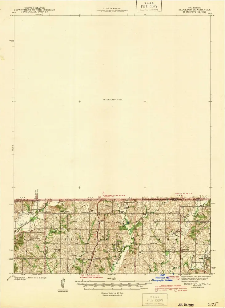
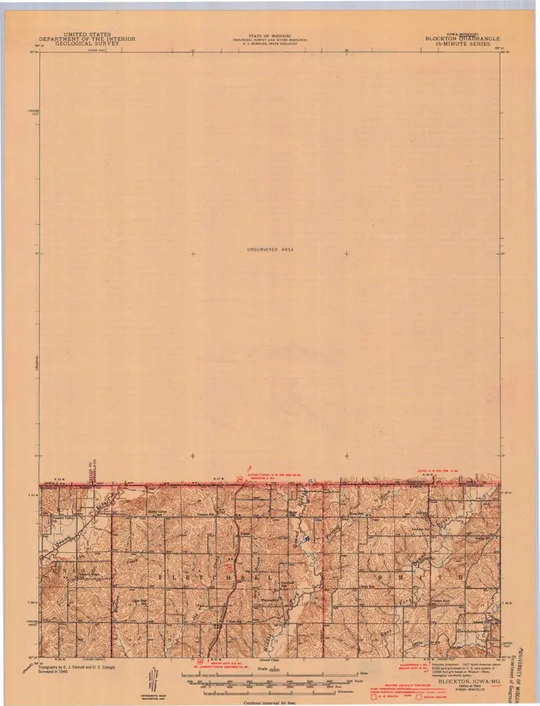
Blockton
1943
1:63k
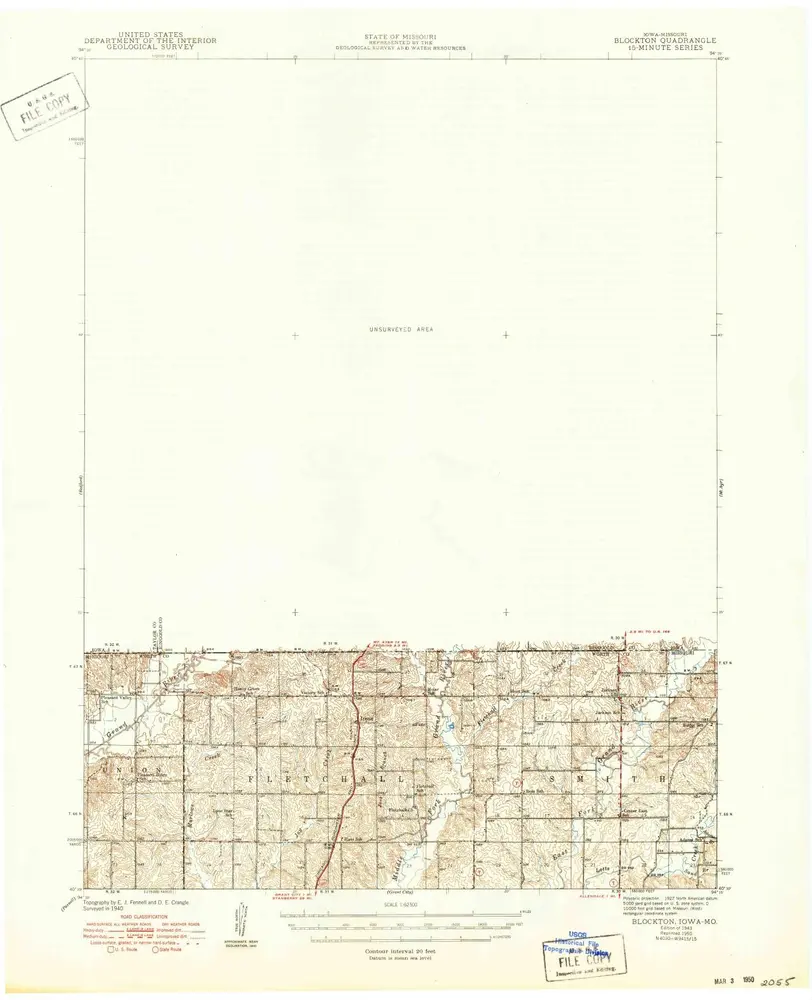
Blockton
1943
1:63k
Blockton
1943
1:63k
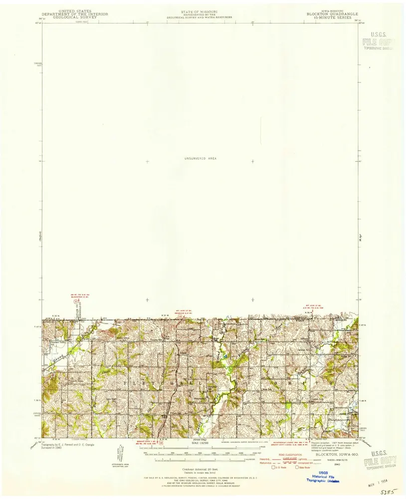
Blockton
1940
1:63k
History