Projekt
Komunita
Novinky
Moje aplikace
Moje mapy
Katalogisierte Karte
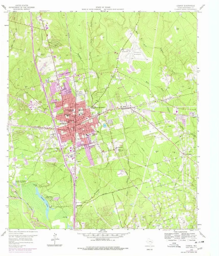
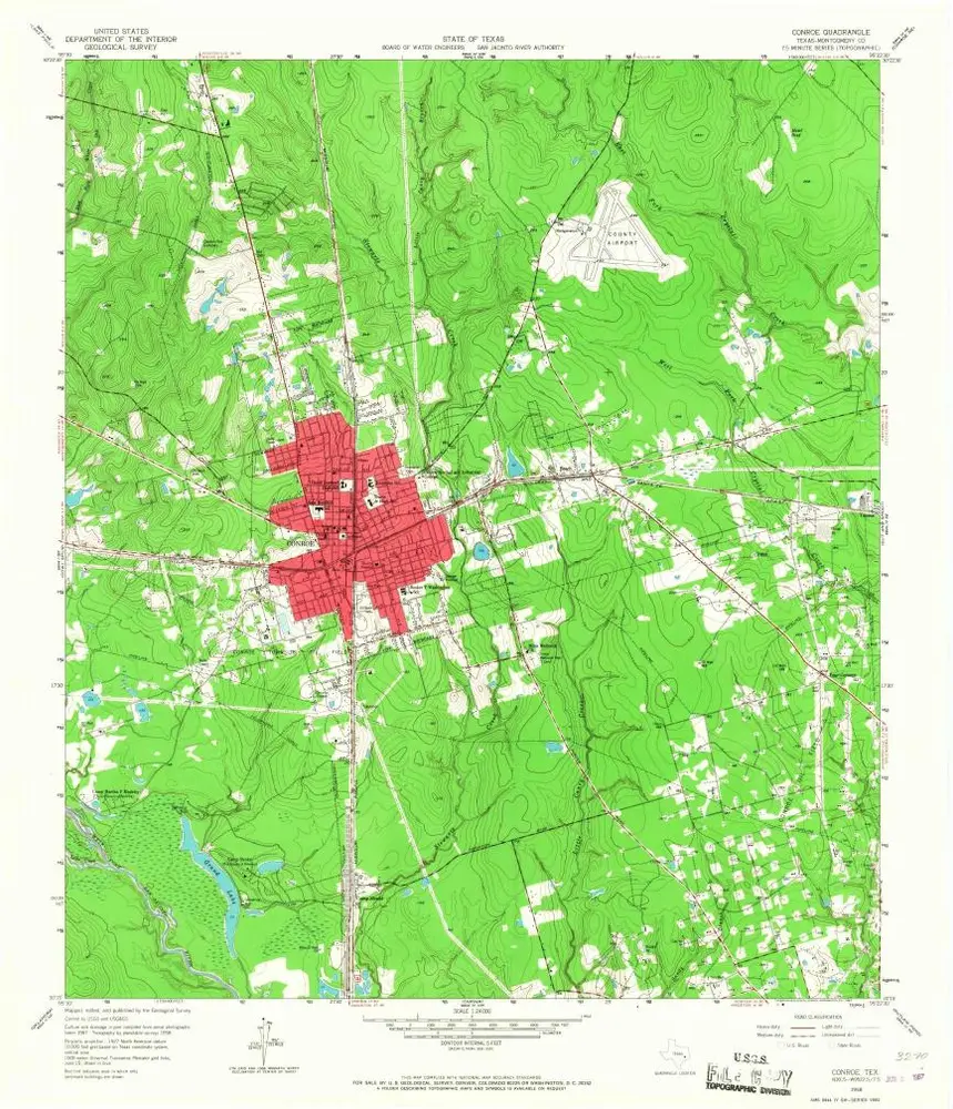
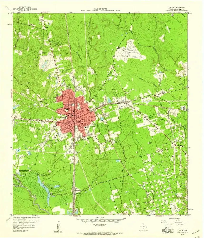
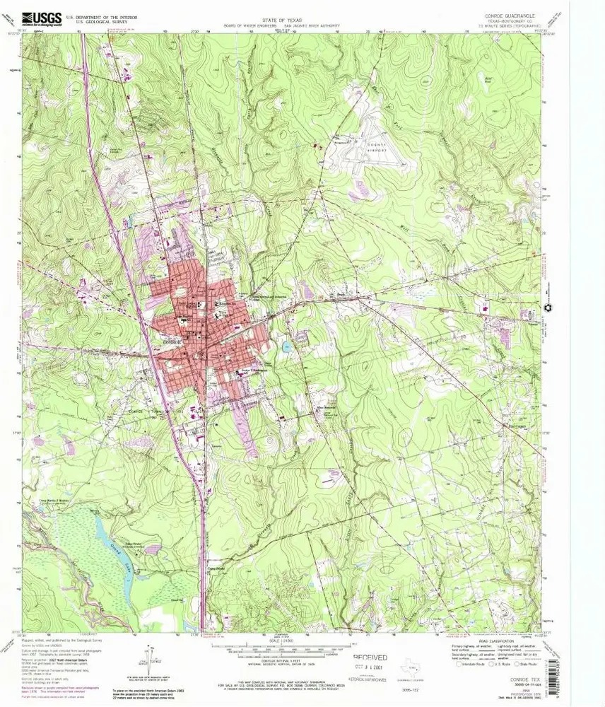
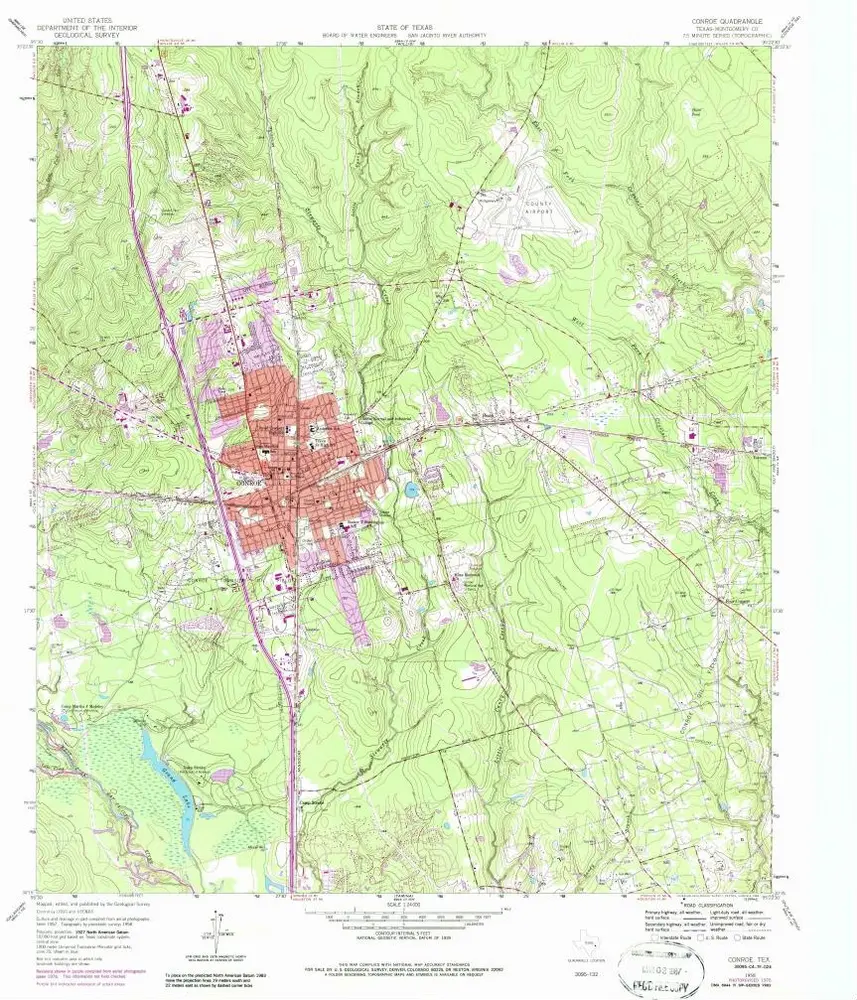
Conroe
Zobrazit na externích webových stránkách
Zobrazit digitalizované
Einrichtung:
United States Geological Survey
Vollständiger Titel:
Conroe
Jahr der Abbildung:
1958
Veröffentlichungsdatum:
1978
Maßstab der Karte:
1:24 000
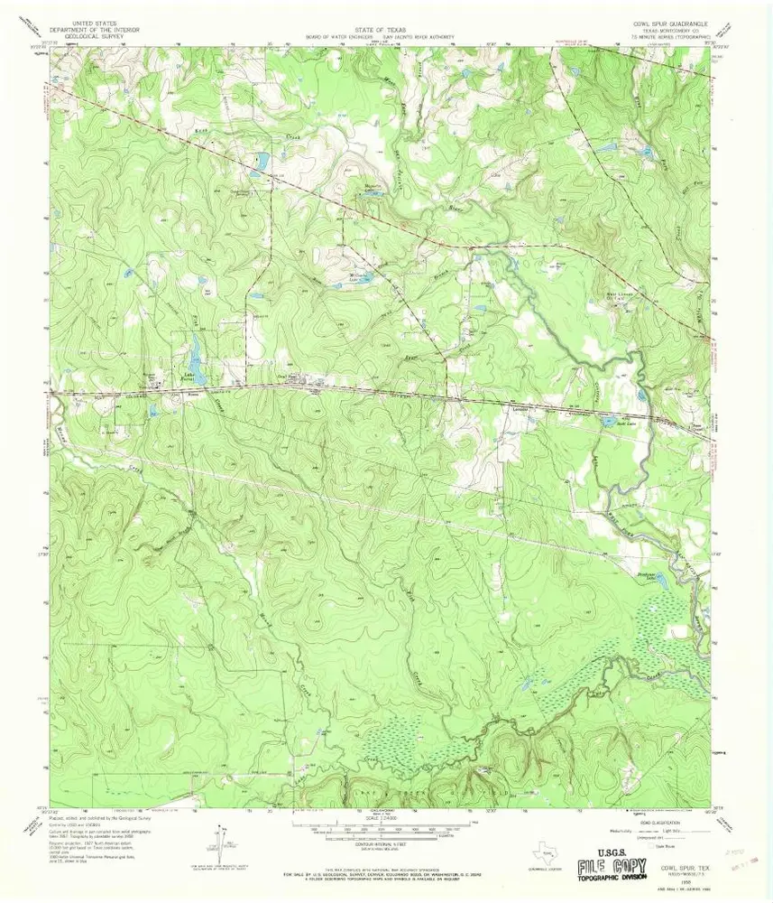
Cowl Spur
1958
1:24k
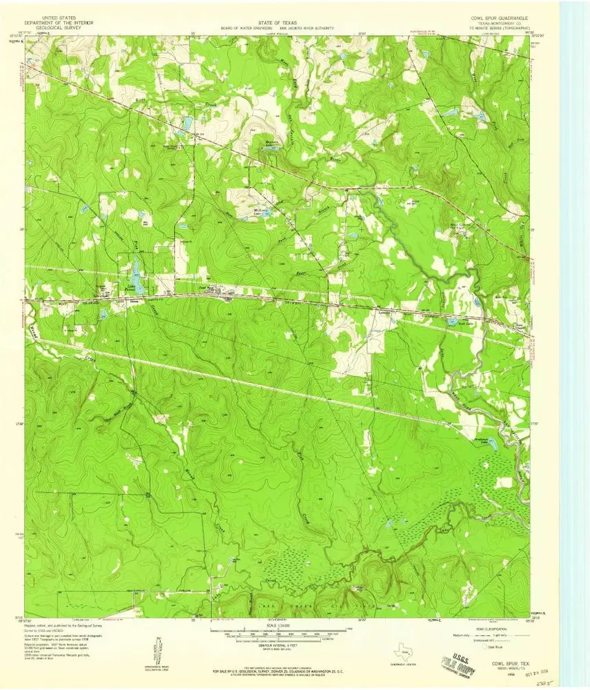
Cowl Spur
1958
1:24k
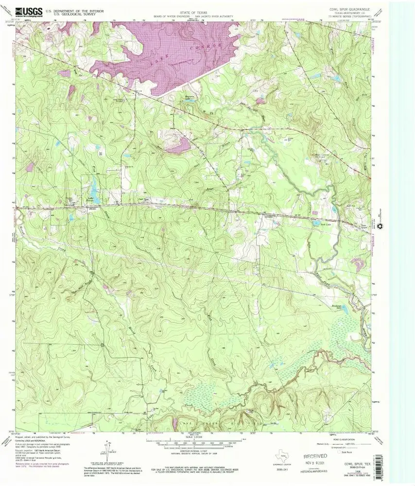
Cowl Spur
1958
1:24k
Cowl Spur
1958
1:24k
Conroe
1958
1:24k
Conroe
1958
1:24k
Conroe
1958
1:24k
Conroe
1958
1:24k
Conroe
1958
1:24k
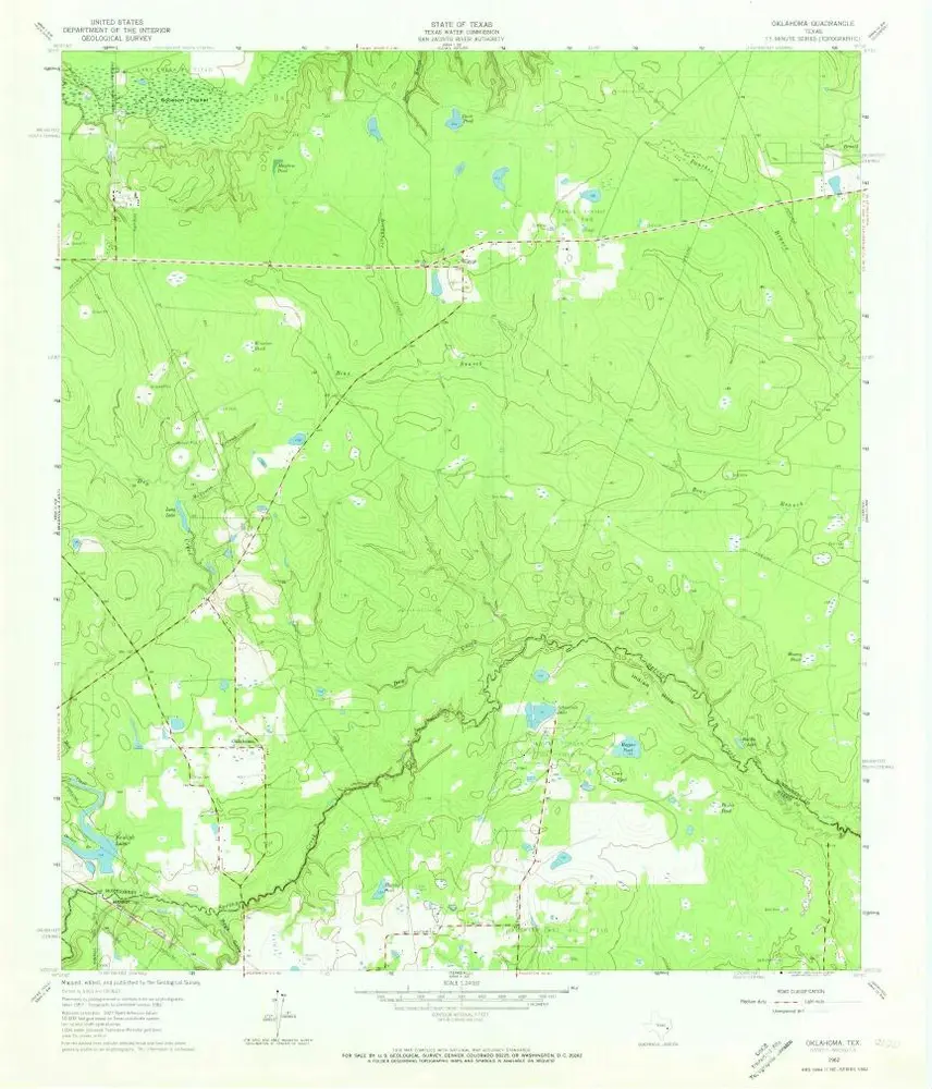
Oklahoma
1962
1:24k
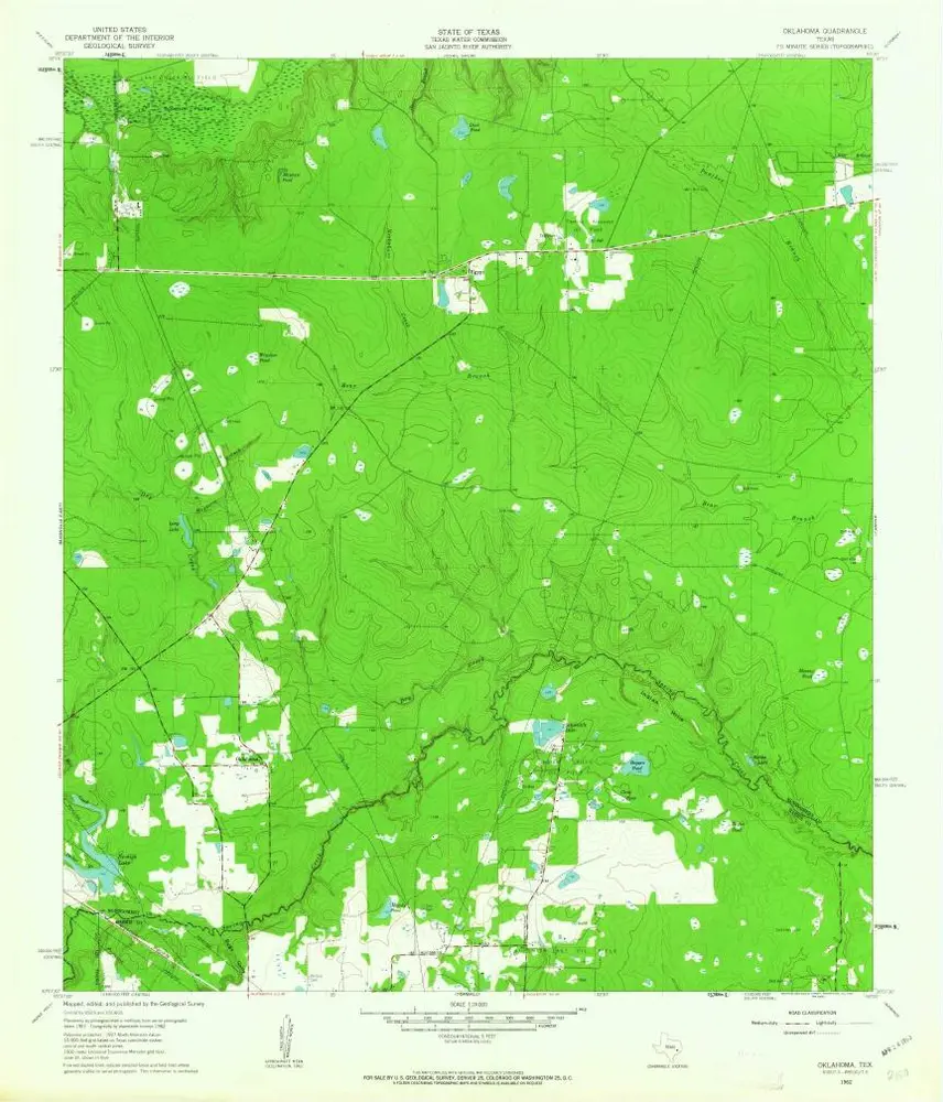
Oklahoma
1962
1:24k
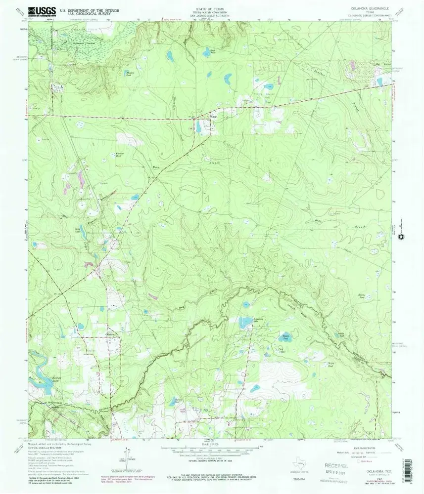
Oklahoma
1962
1:24k
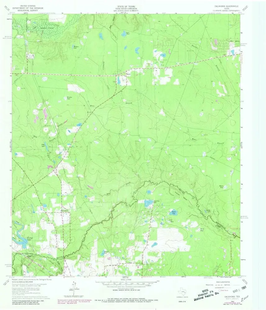
Oklahoma
1962
1:24k
Geschichte