Skatalogowana mapa
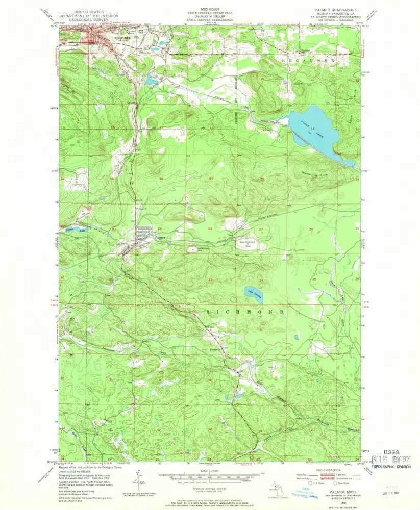
Palmer

Instytucja:United States Geological Survey
Pełny tytuł:Palmer
Rok ilustracji:1952
Data publikacji:1968
Skala mapy:1:24 000
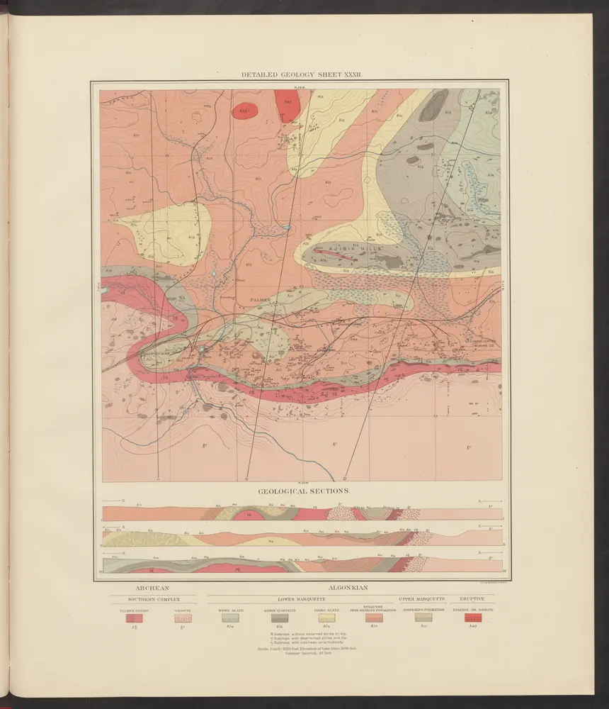
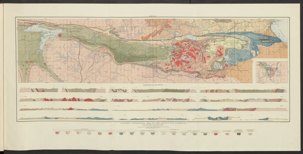
Atlas to accompany monograph XXVIII on the Marquette iron-bearing district of Michigan
1896
Van Hise, Charles Richard
1:630k
Palmer
1952
1:24k
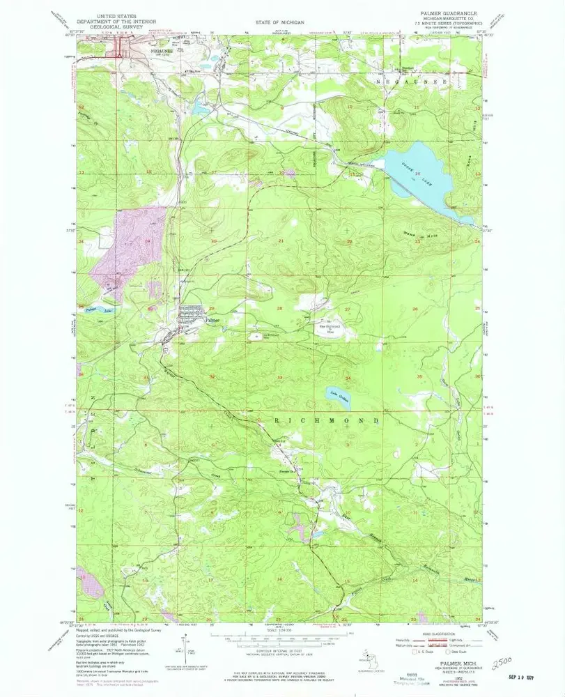
Palmer
1952
1:24k
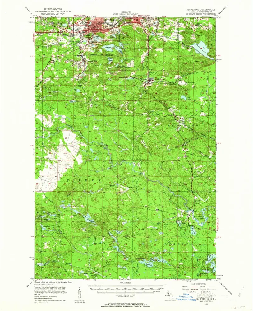
Ishpeming
1952
1:63k
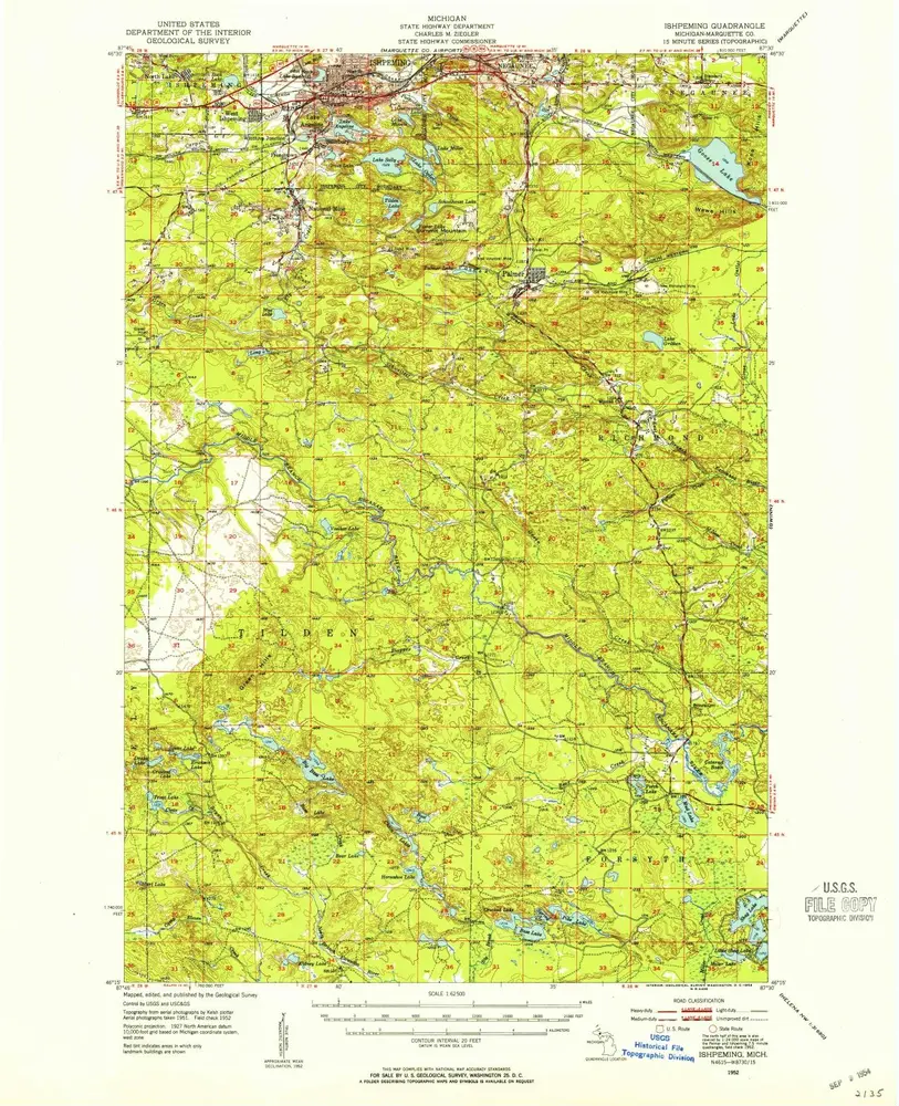
Ishpeming
1952
1:63k
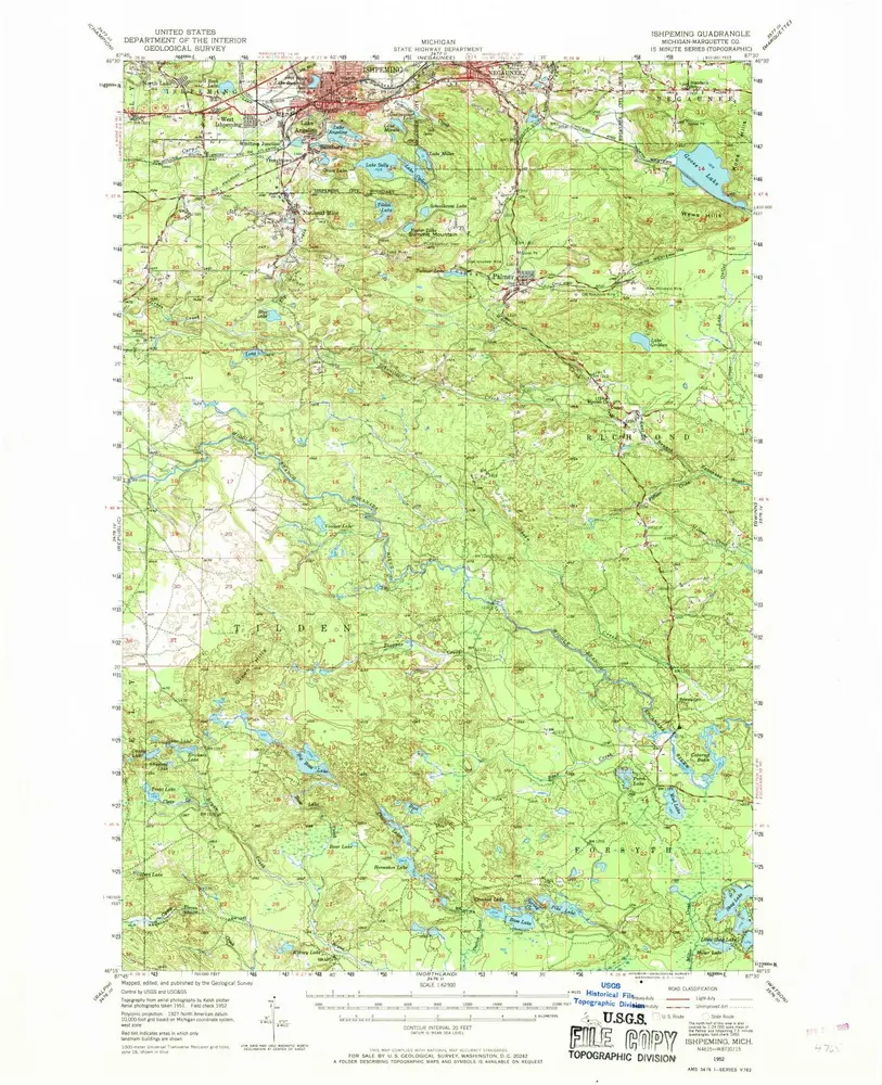
Ishpeming
1952
1:63k
Atlas to accompany monograph XXVIII on the Marquette iron-bearing district of Michigan
1896
Van Hise, Charles Richard
1:630k
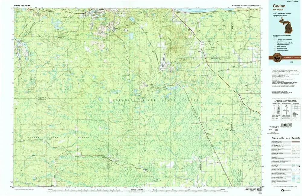
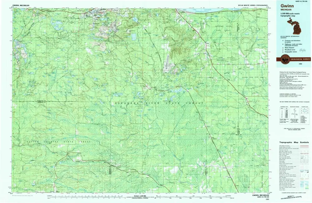
Gwinn
1983
1:100k
Gwinn
1983
1:100k
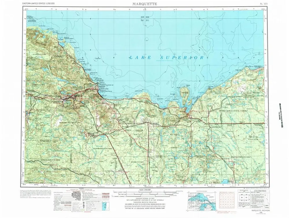
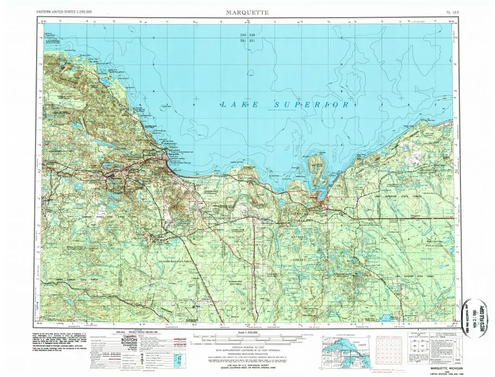
Marquette
1968
1:250k
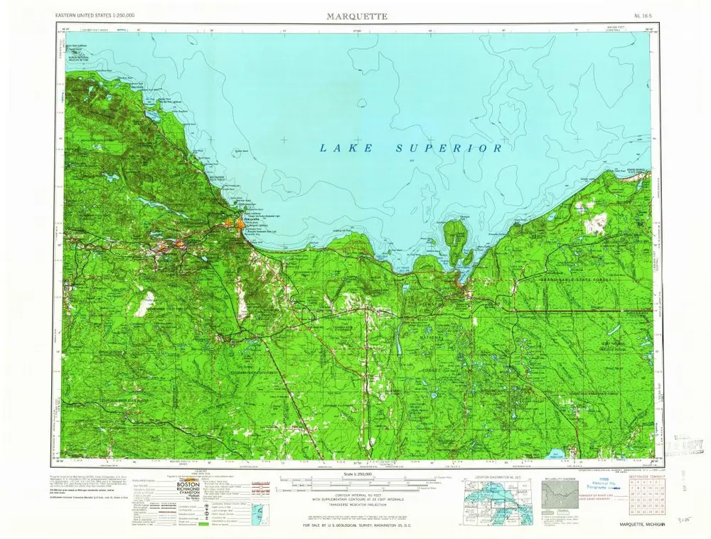
Marquette
1961
1:250k
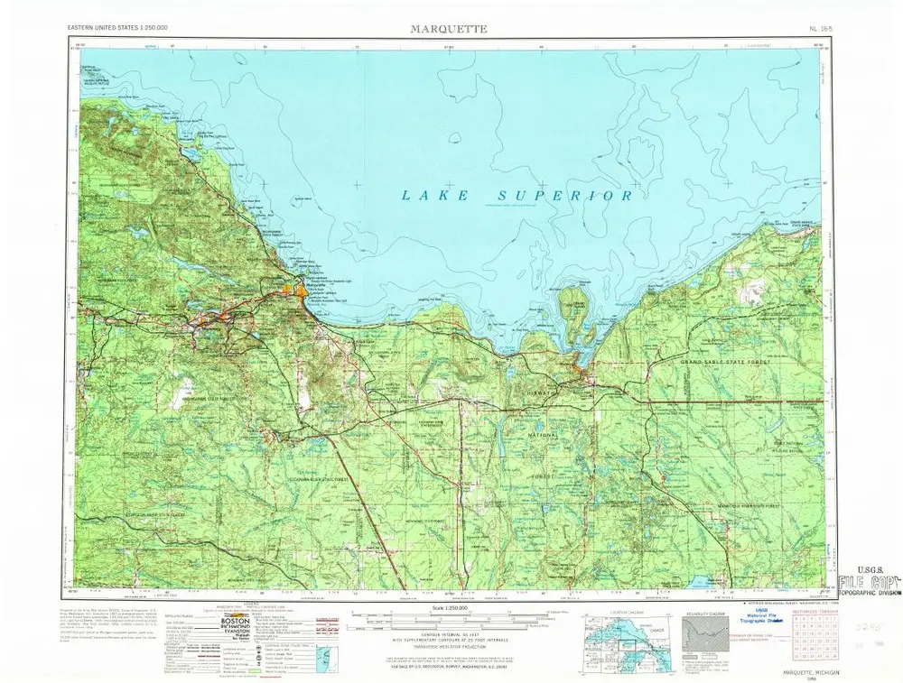
Marquette
1958
1:250k
Marquette
1958
1:250k