Projekt
Komunita
Novinky
Moje aplikace
Moje mapy
Katalogisierte Karte
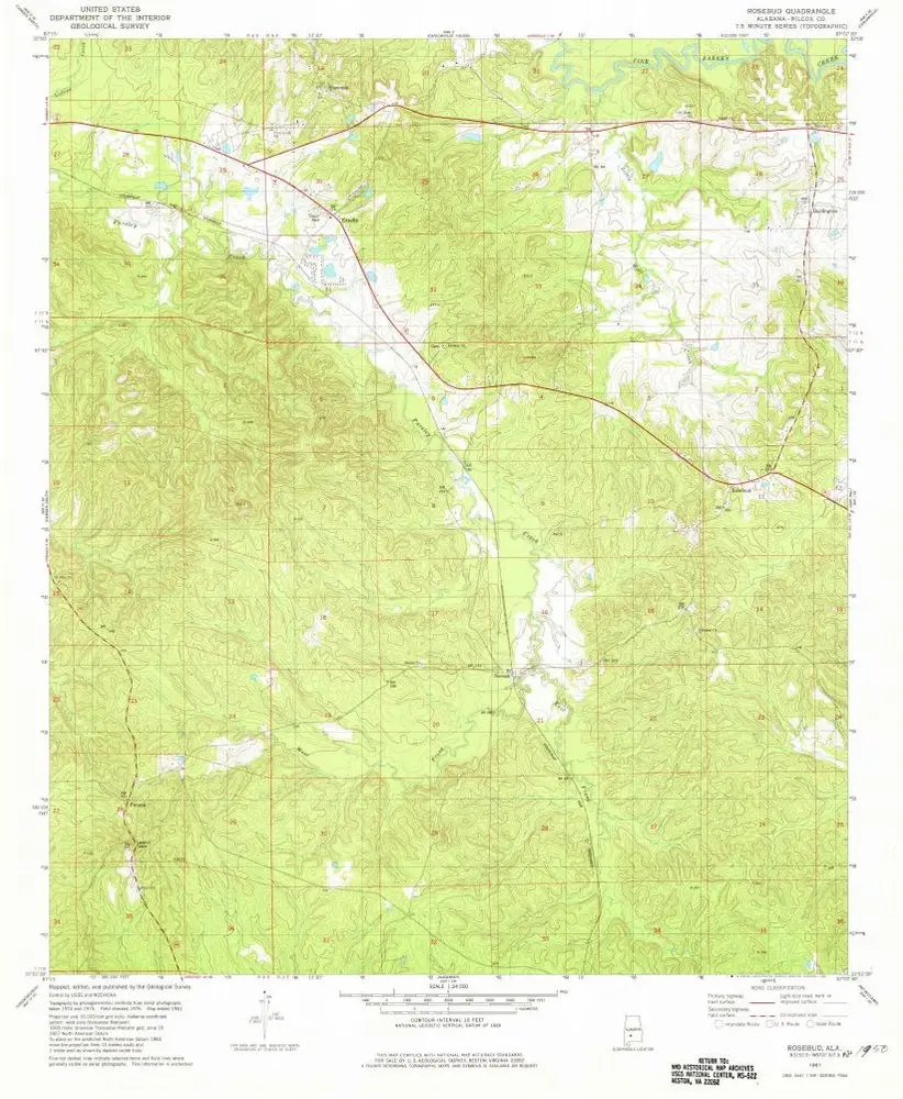
Rosebud
Zobrazit na externích webových stránkách
Zobrazit digitalizované
Einrichtung:
United States Geological Survey
Vollständiger Titel:
Rosebud
Jahr der Abbildung:
1981
Veröffentlichungsdatum:
1981
Maßstab der Karte:
1:24 000
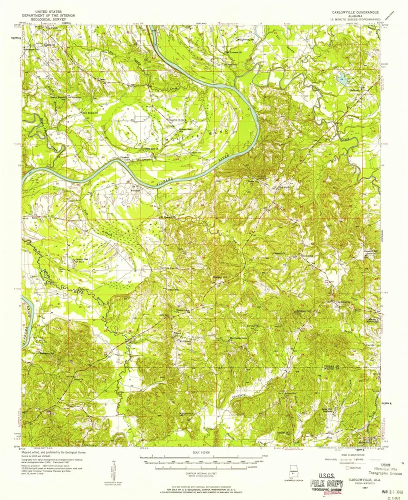
Carlowville
1957
1:63k
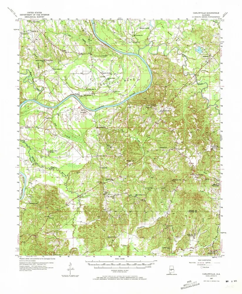
Carlowville
1957
1:63k
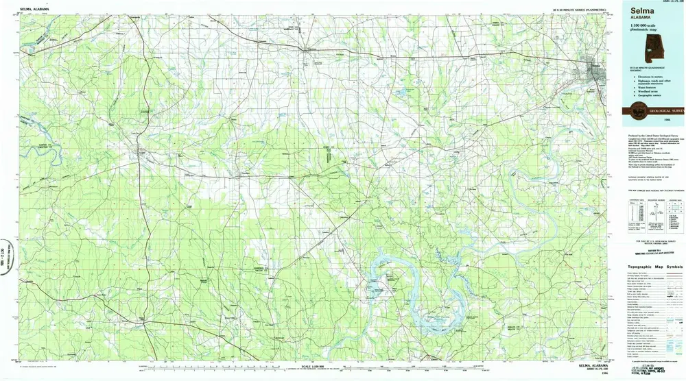
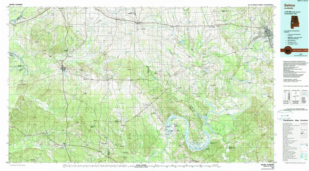
Selma
1986
1:100k
Selma
1986
1:100k
Rosebud
1981
1:24k
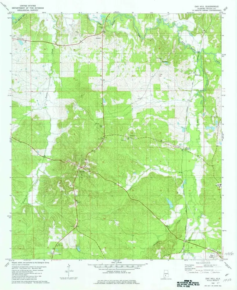
Oak Hill
1981
1:24k
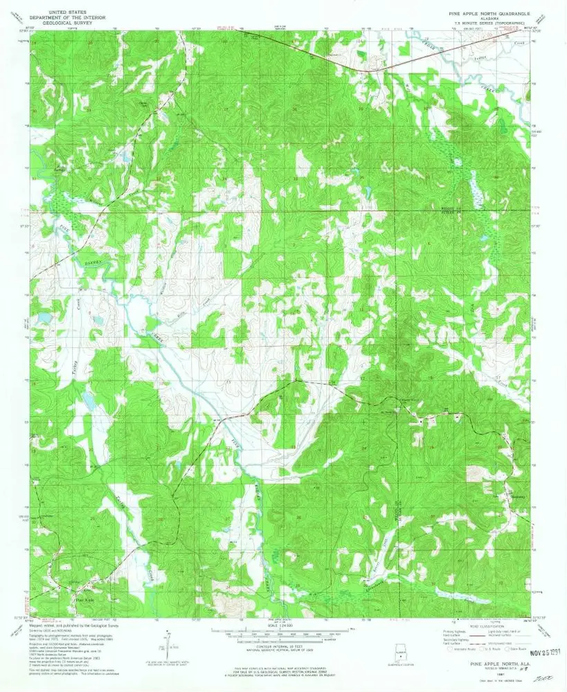
Pine Apple North
1981
1:24k
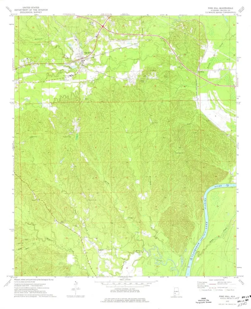
Pine Hill
1973
1:24k
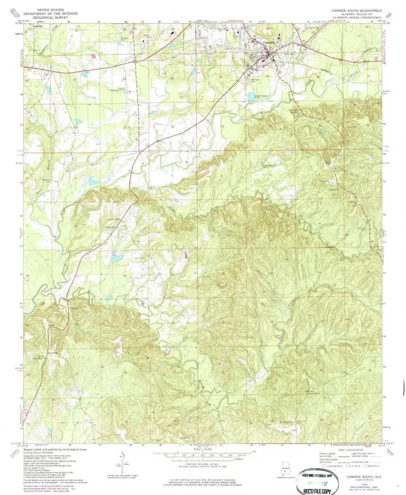
Camden South
1973
1:24k
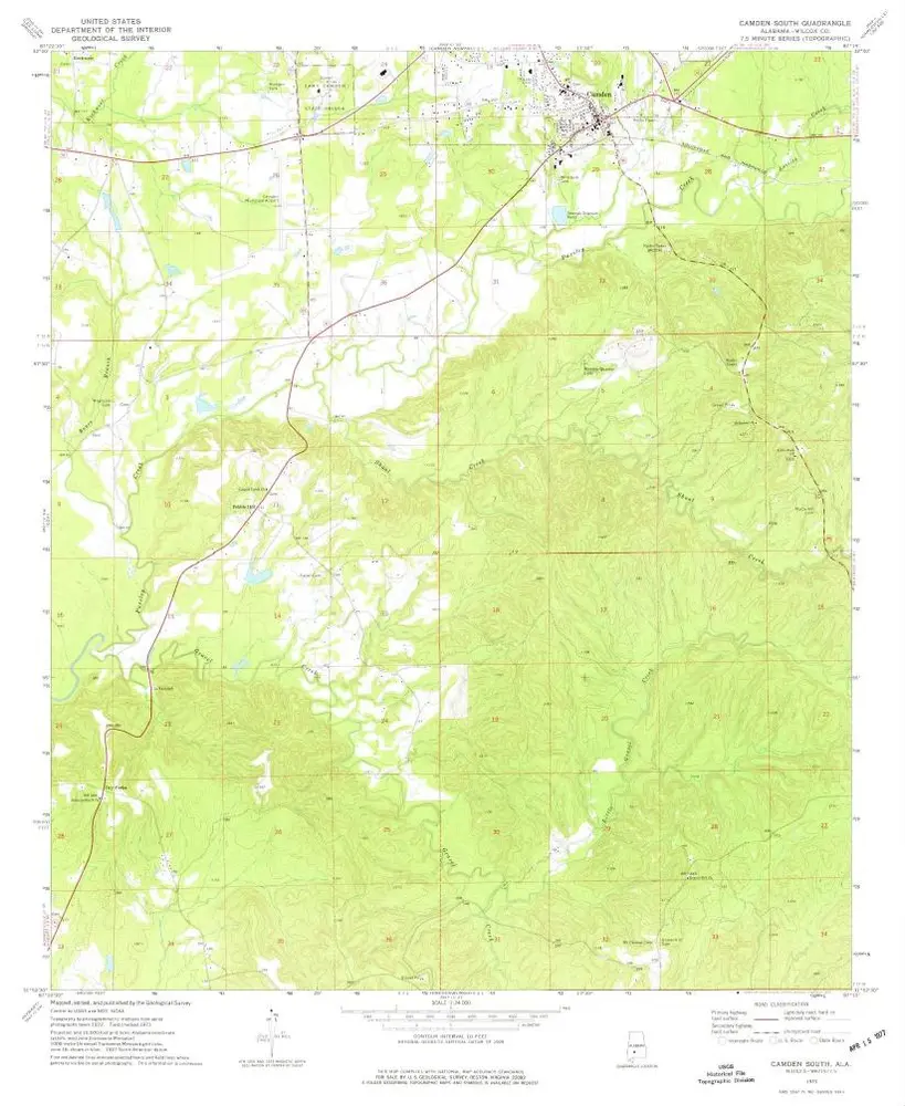
Camden South
1973
1:24k
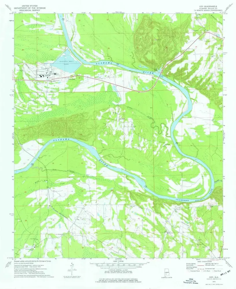
Coy
1973
1:24k
Geschichte