Projekt
Komunita
Novinky
Moje aplikace
Moje mapy
Katalogisierte Karte
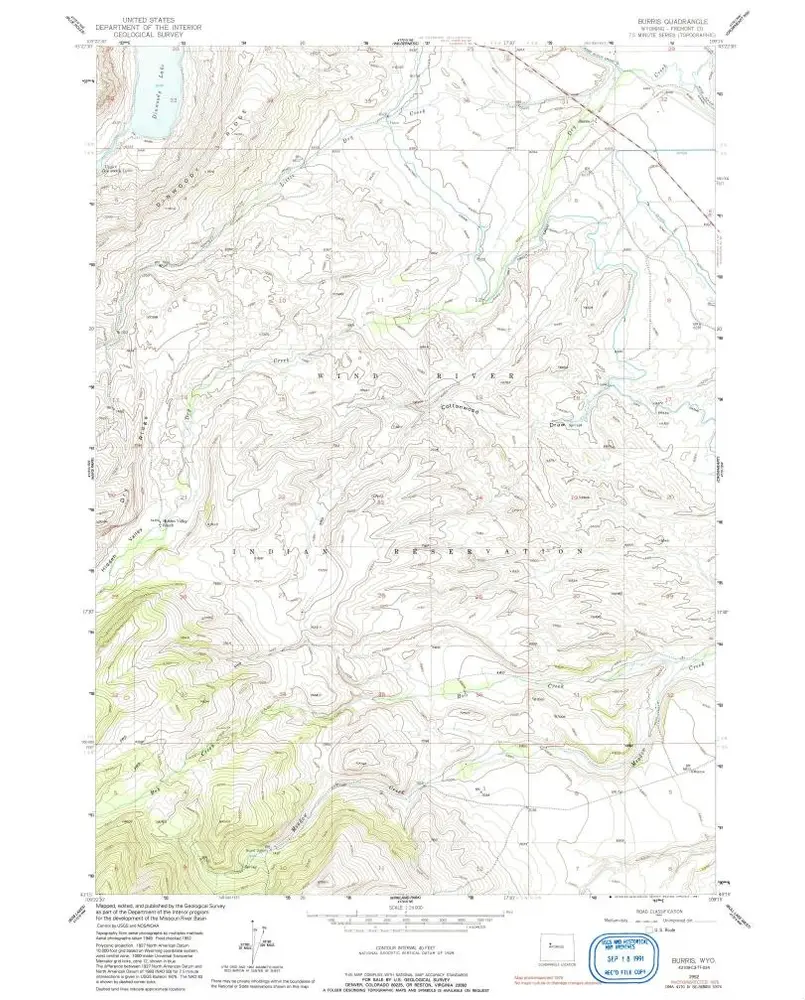
Burris
Zobrazit na externích webových stránkách
Zobrazit digitalizované
Einrichtung:
United States Geological Survey
Vollständiger Titel:
Burris
Jahr der Abbildung:
1952
Veröffentlichungsdatum:
1991
Maßstab der Karte:
1:24 000
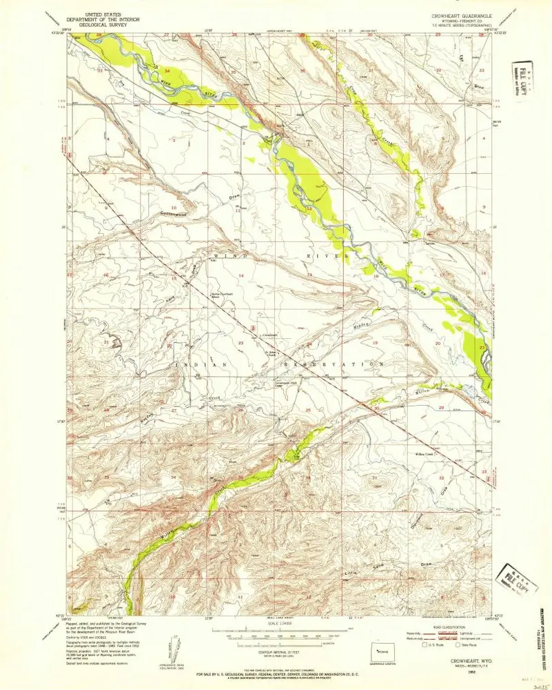
Crowheart
1952
1:24k
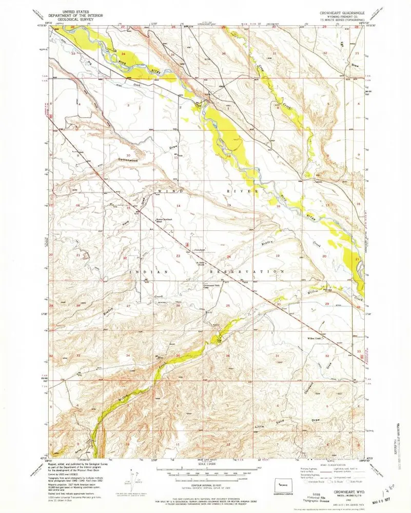
Crowheart
1952
1:24k
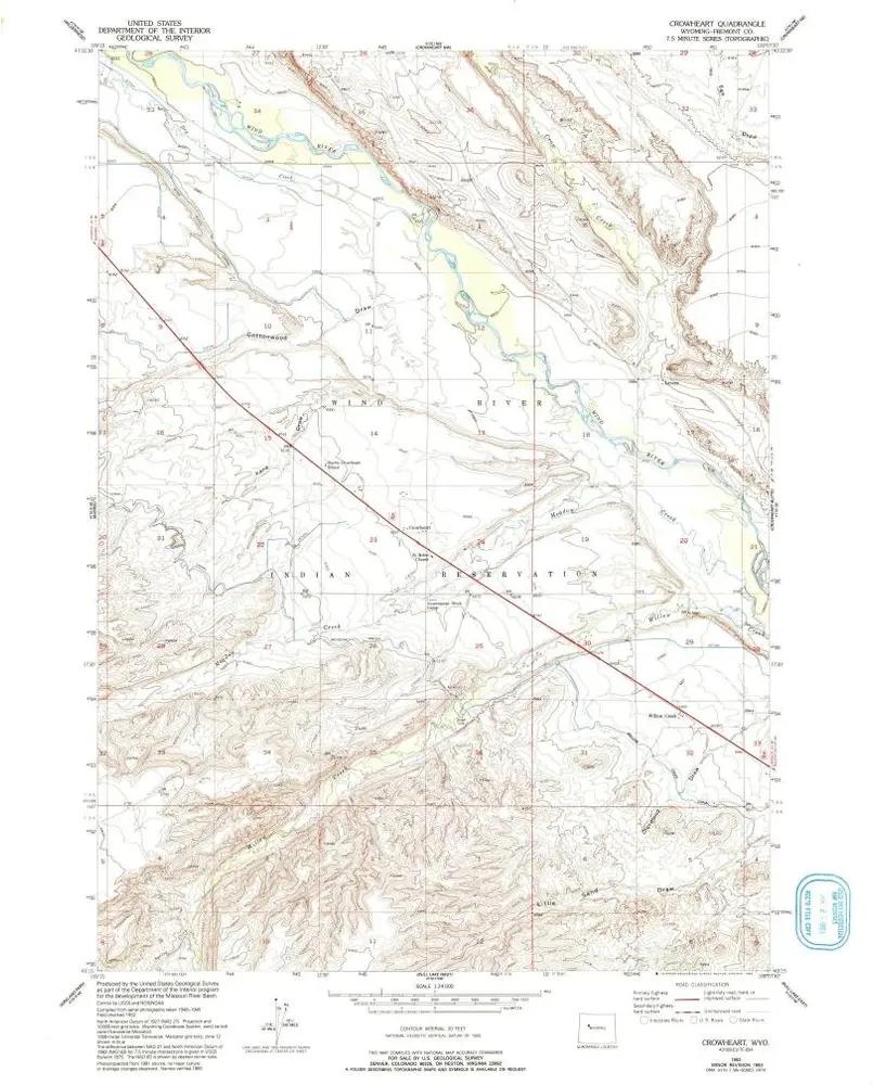
Crowheart
1952
1:24k
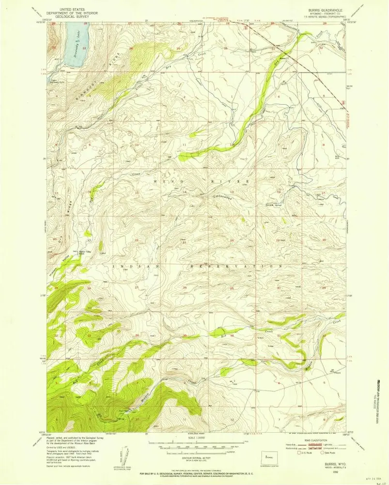
Burris
1952
1:24k
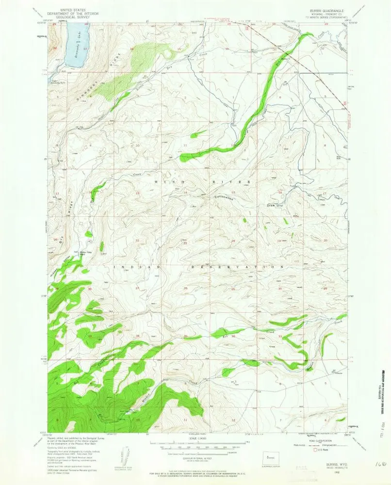
Burris
1952
1:24k
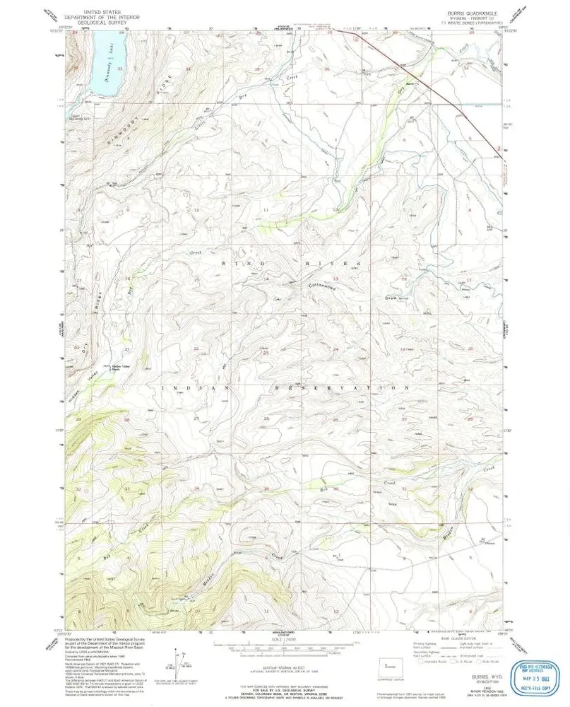
Burris
1952
1:24k
Burris
1952
1:24k
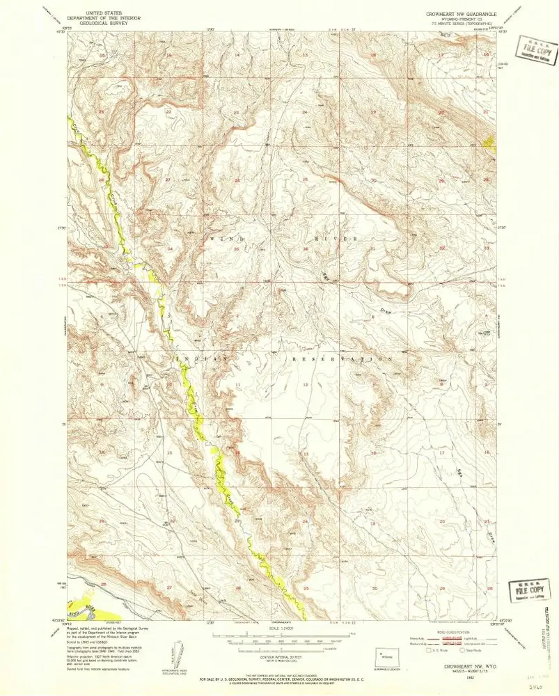
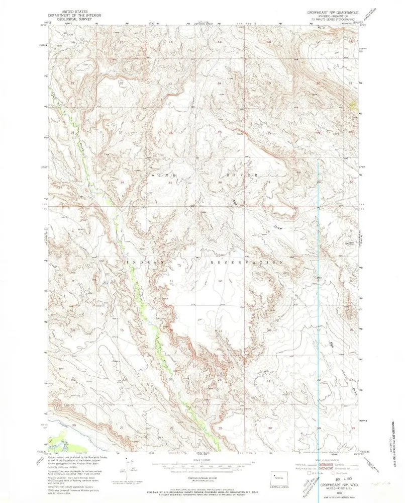
Crowheart NW
1952
1:24k
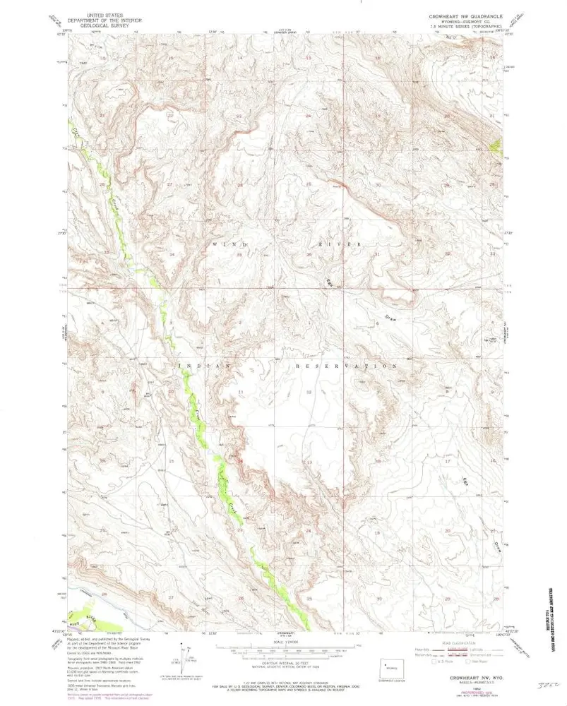
Crowheart NW
1952
1:24k
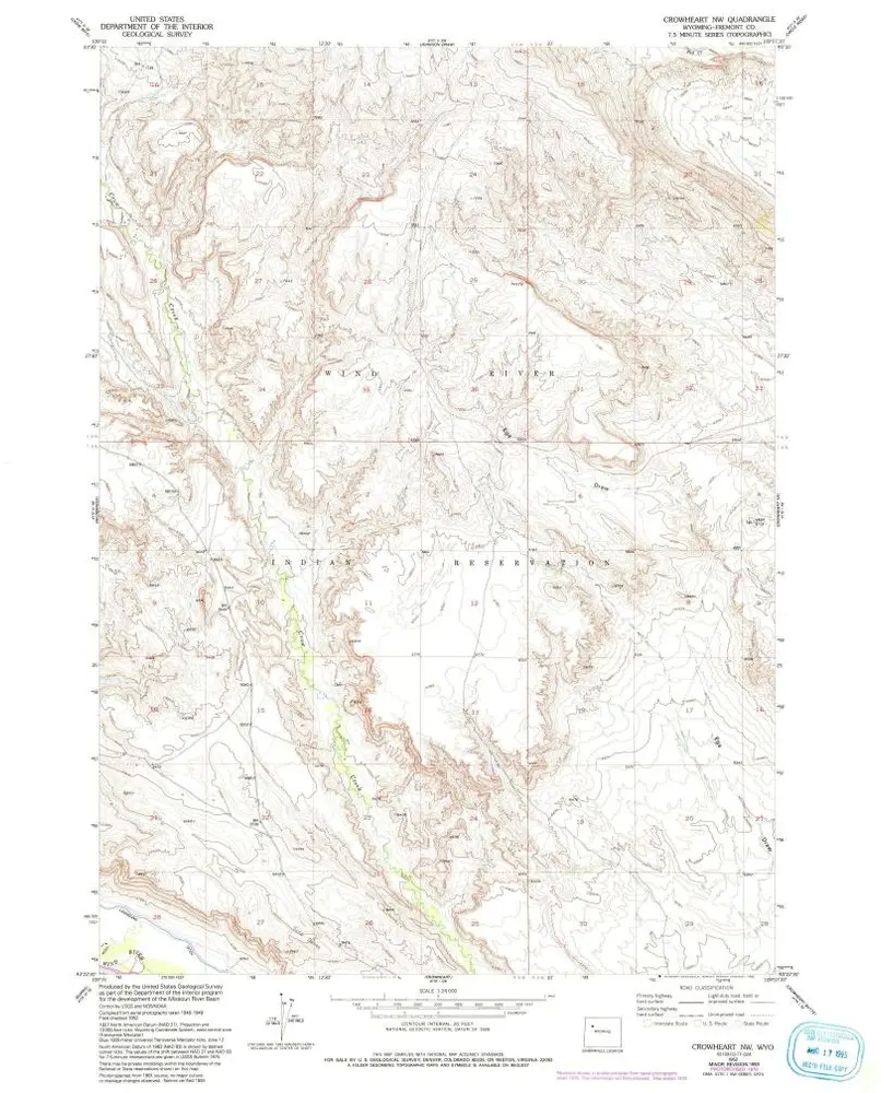
Crowheart NW
1952
1:24k
Crowheart NW
1952
1:24k
Geschichte