Projekt
Komunita
Novinky
Moje aplikace
Moje mapy
Carte cataloguée
Oxford
Zobrazit na externích webových stránkách
View digitized
Institution:
United States Geological Survey
Titre complet:
Oxford
Année de l'image:
1943
Échelle de la carte:
1:62 500
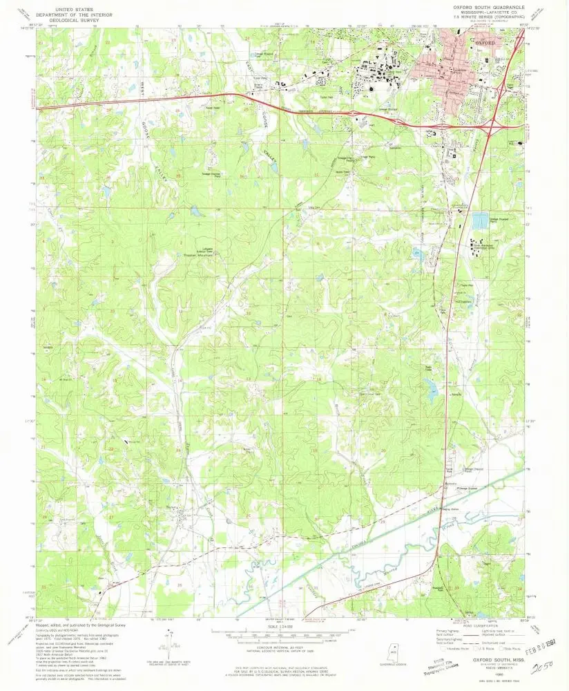
Oxford South
1980
1:24k
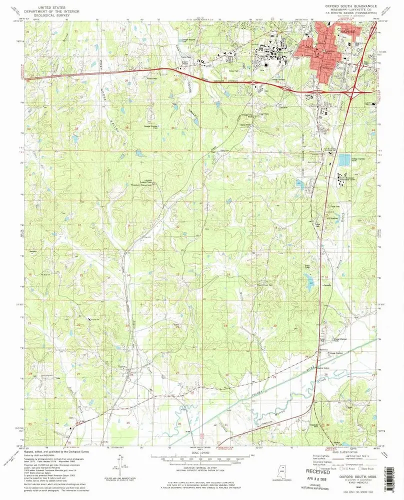
Oxford South
1980
1:24k
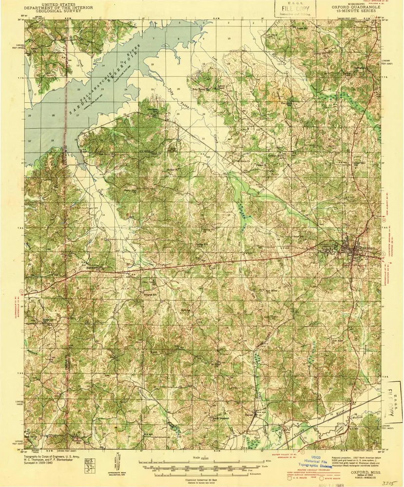
Oxford
1943
1:63k
Oxford
1943
1:63k
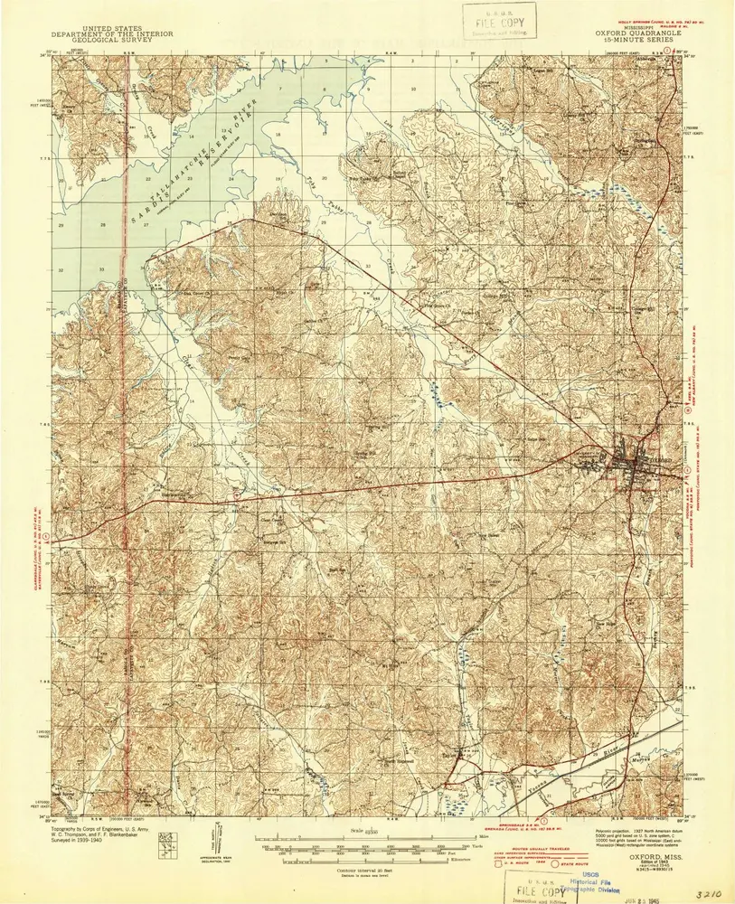
Oxford
1940
1:63k
Oxford
1940
1:63k
Oxford North
1980
1:24k
Oxford North
1980
1:24k
Yocona
2000
1:24k
Yocona
1980
1:24k
L'histoire