Carte cataloguée
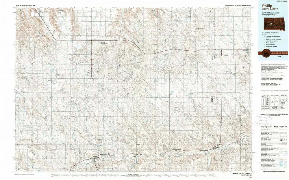
Philip

Institution:United States Geological Survey
Titre complet:Philip
Année de l'image:1984
Date de publication:1989
Échelle de la carte:1:100 000
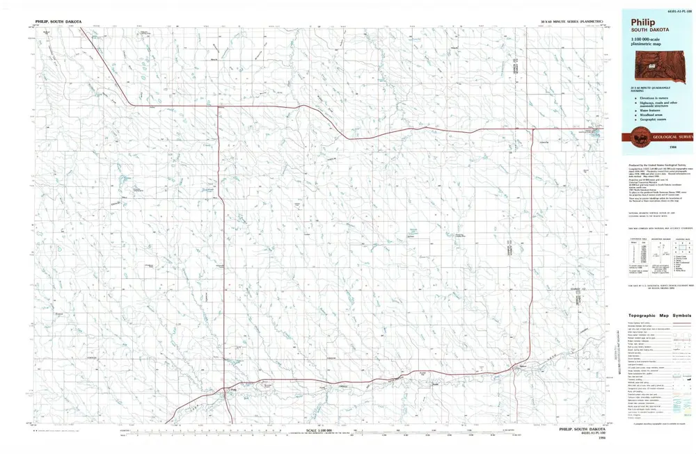
Philip
1984
1:100k
Philip
1983
1:100k
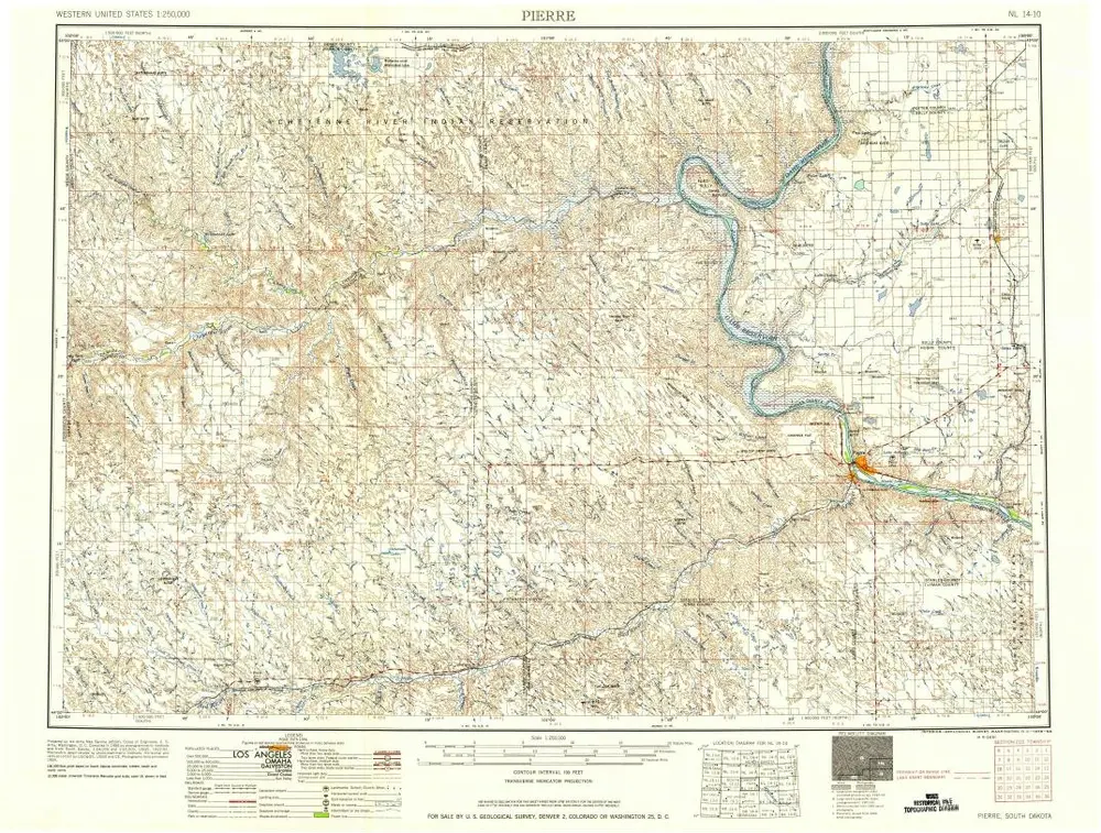
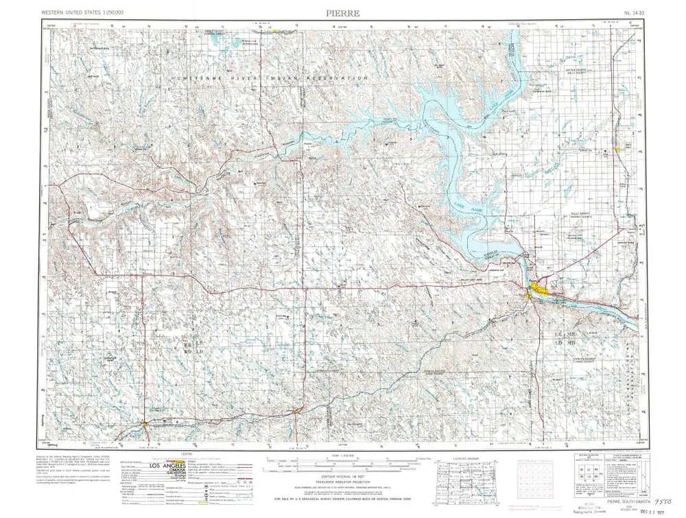
Pierre
1958
1:250k
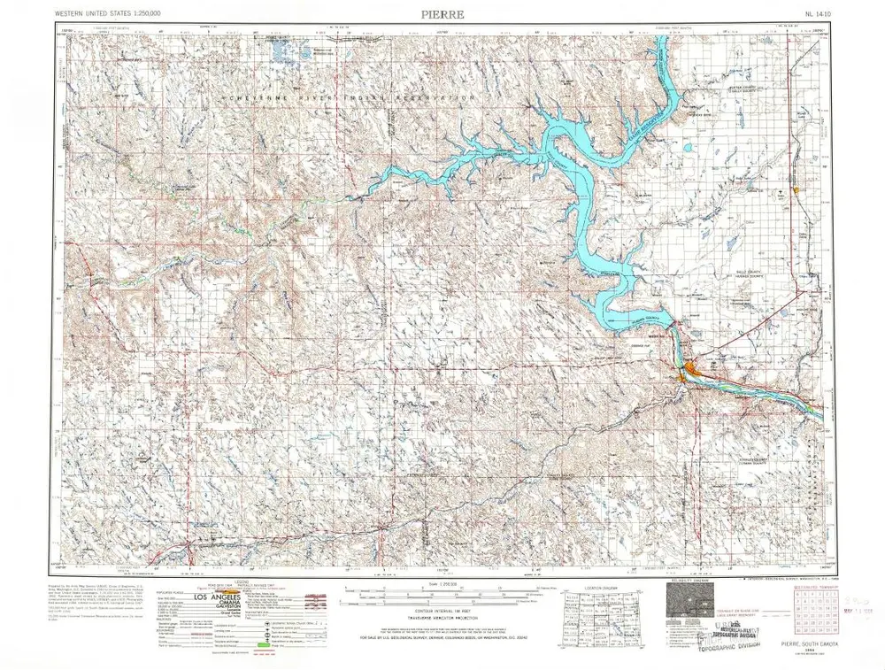
Pierre
1954
1:250k
Pierre
1954
1:250k
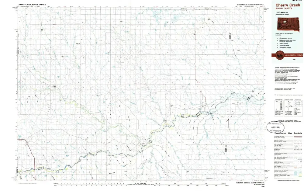
Cherry Creek
1986
1:100k
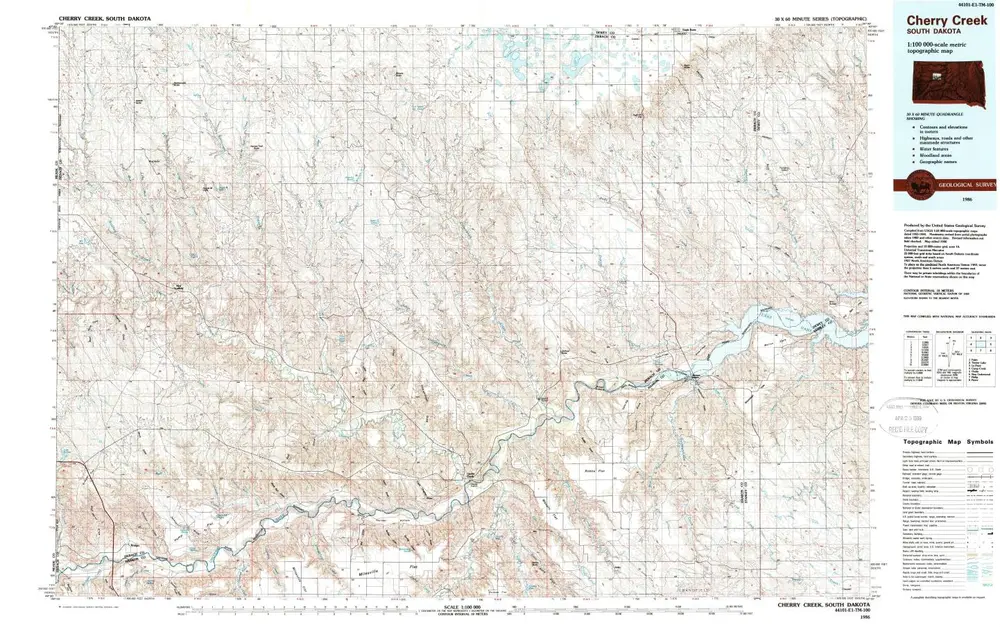
Cherry Creek
1986
1:100k
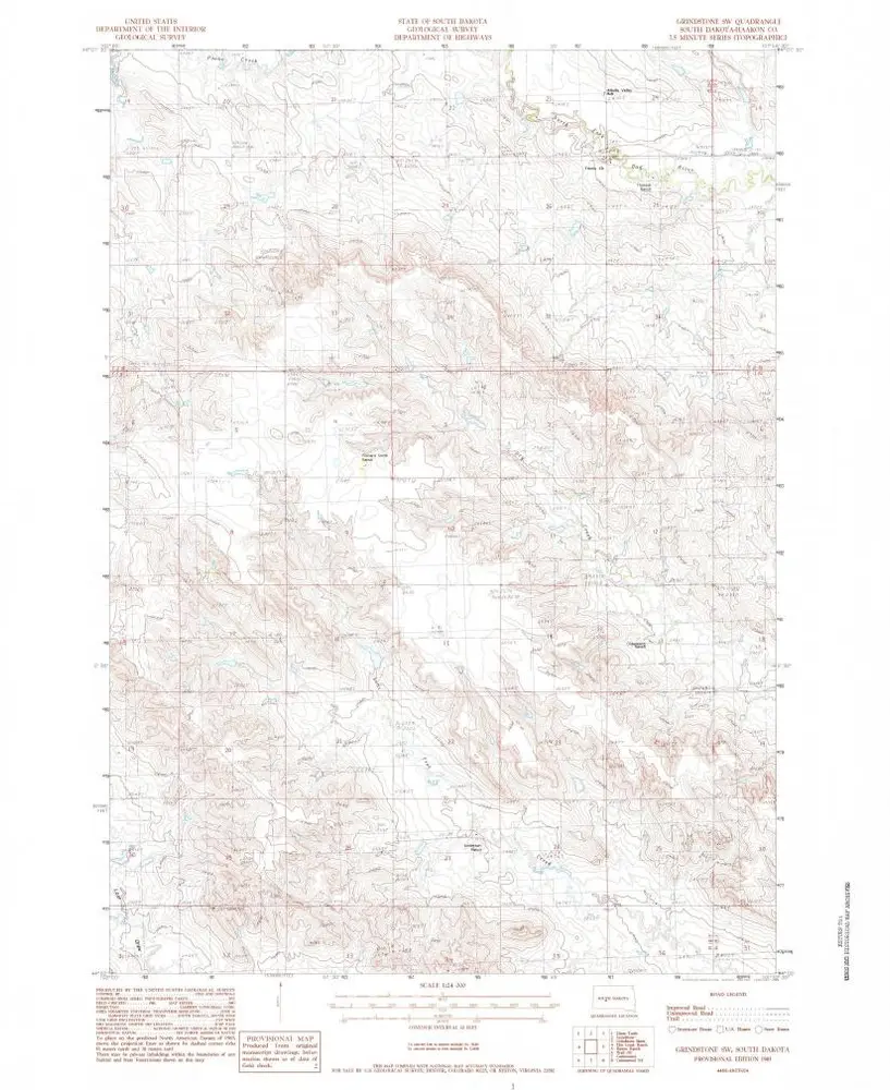
Grindstone SW
1983
1:24k
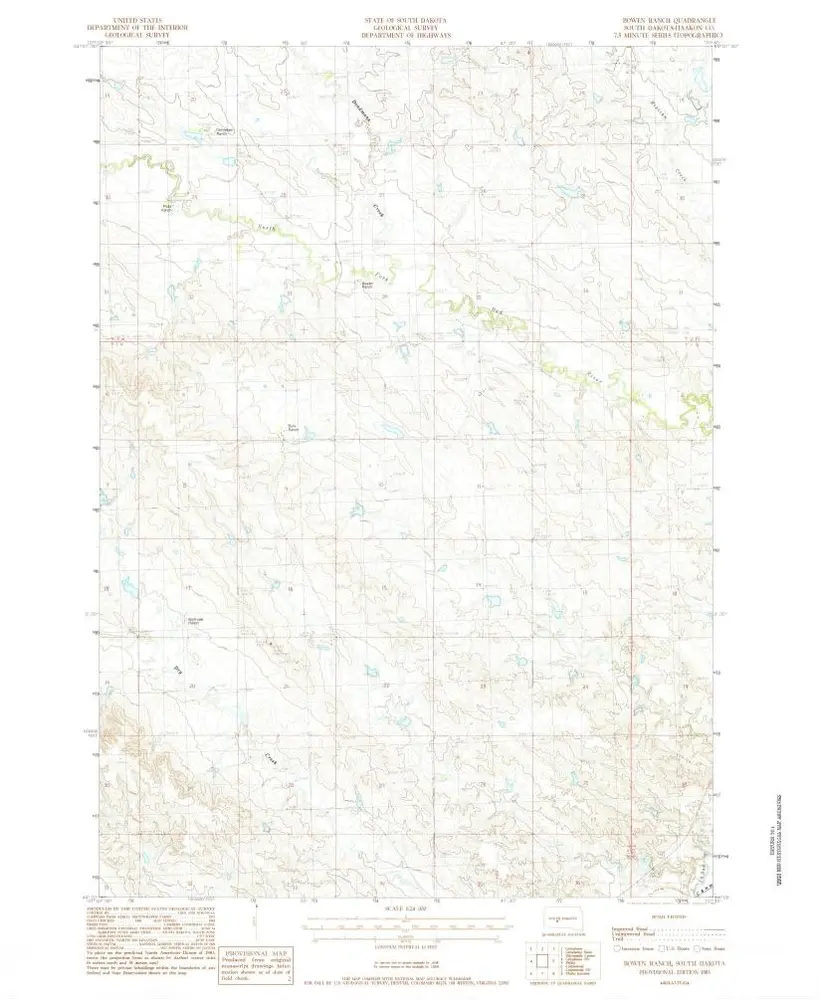
Bowen Ranch
1983
1:24k
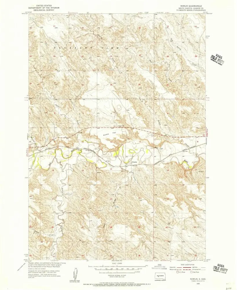
Nowlin
1954
1:24k
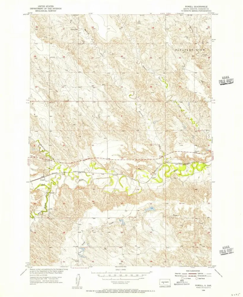
Powell
1954
1:24k
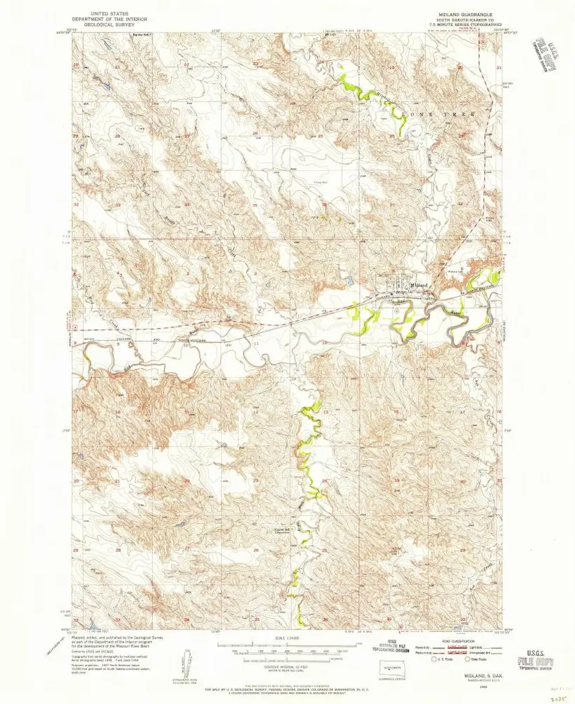
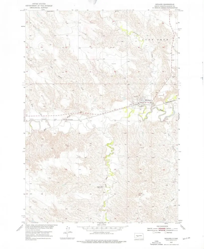
Midland
1954
1:24k
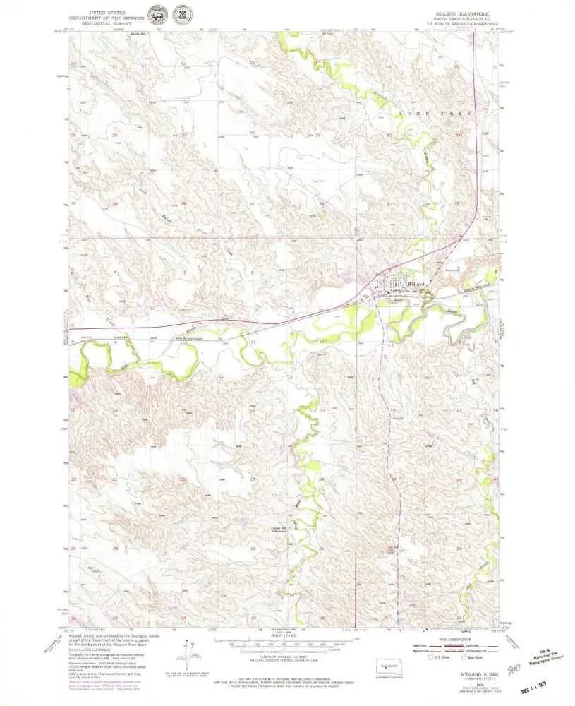
Midland
1954
1:24k
Midland
1954
1:24k

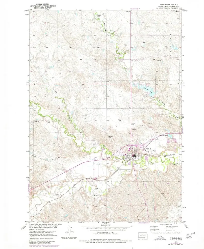
Philip
1953
1:24k
Philip
1953
1:24k
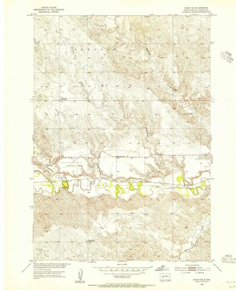
Philip SE
1953
1:24k
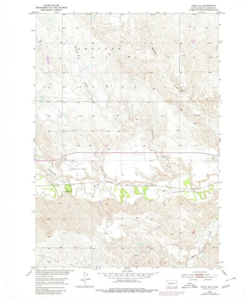
Philip SE
1953
1:24k