Projekt
Komunita
Novinky
Moje aplikace
Moje mapy
Carte cataloguée
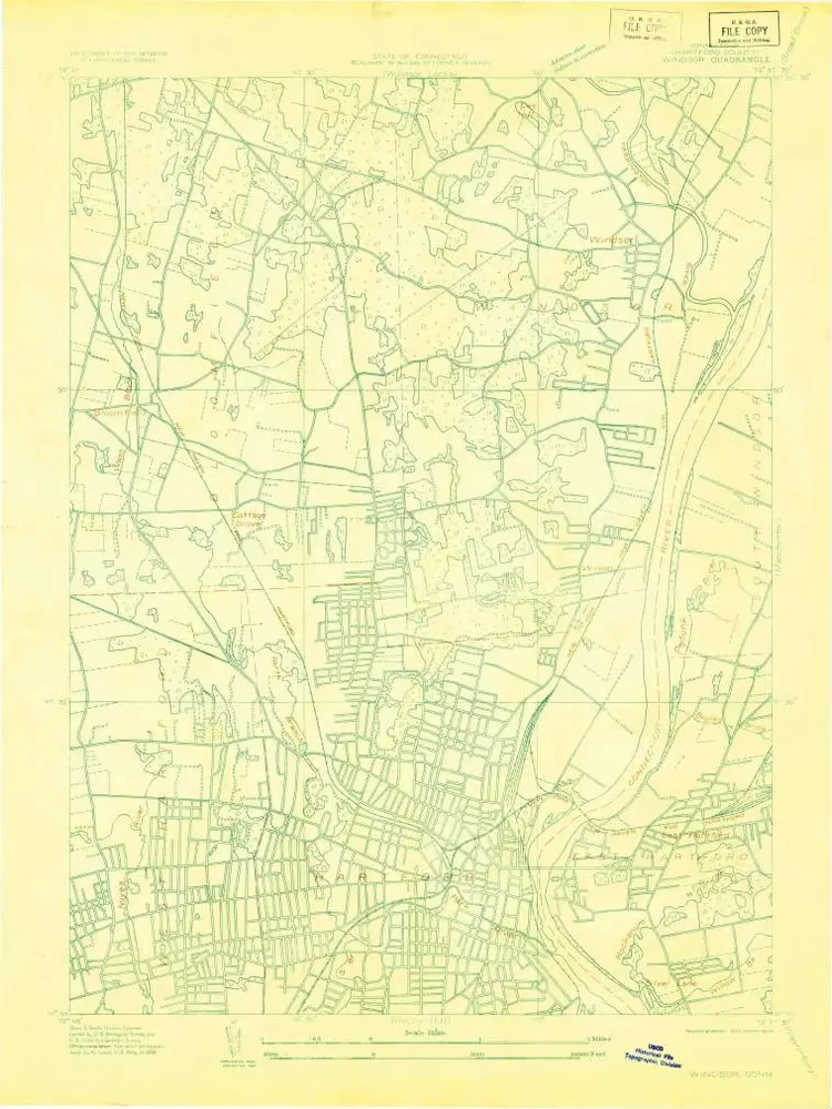
Windsor
Zobrazit na externích webových stránkách
Institution:
United States Geological Survey
Titre complet:
Windsor
Année de l'image:
1928
Échelle de la carte:
1:24 000
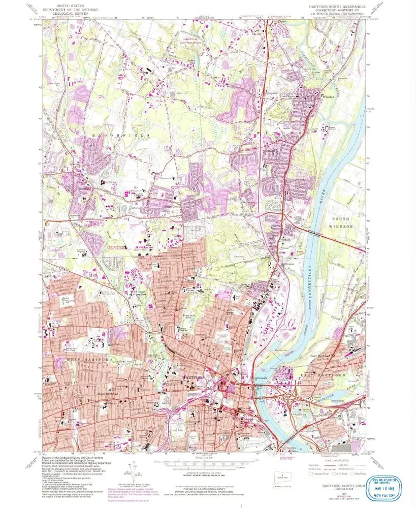
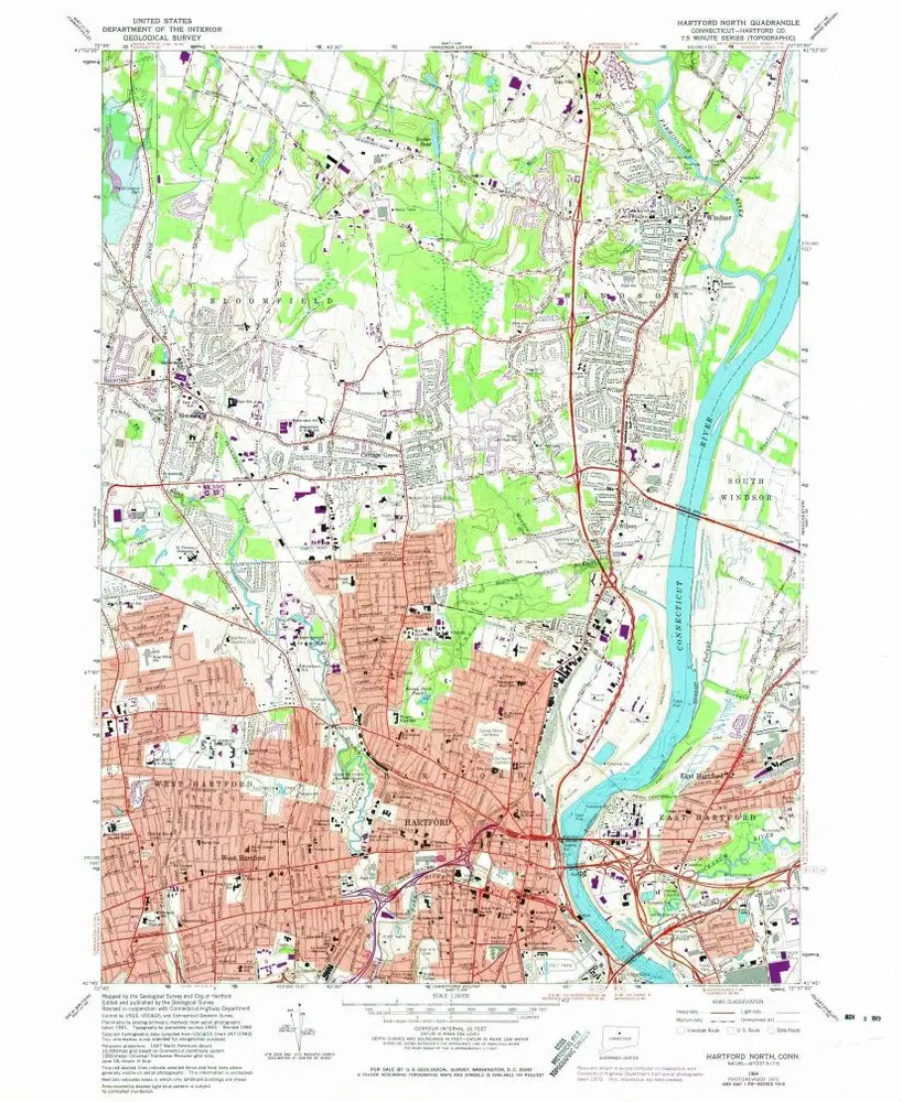
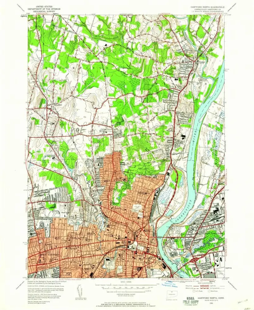
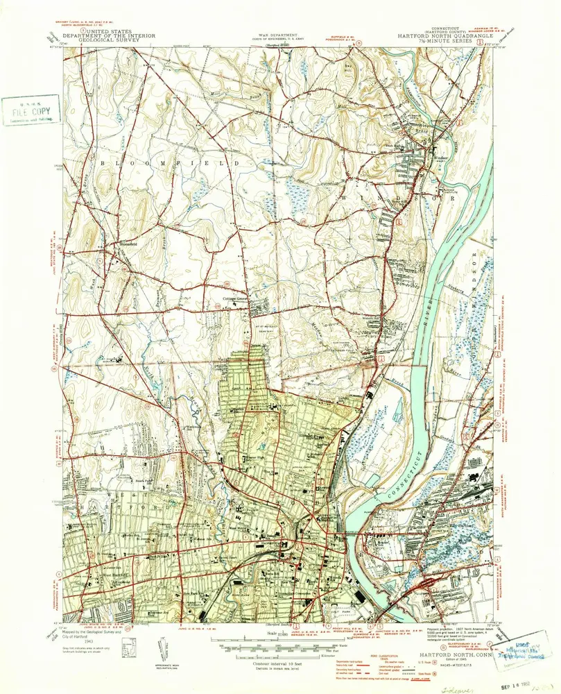
Hartford North
1964
1:24k
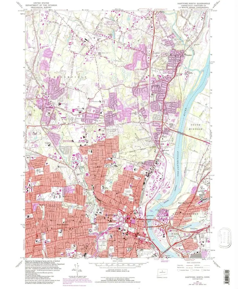
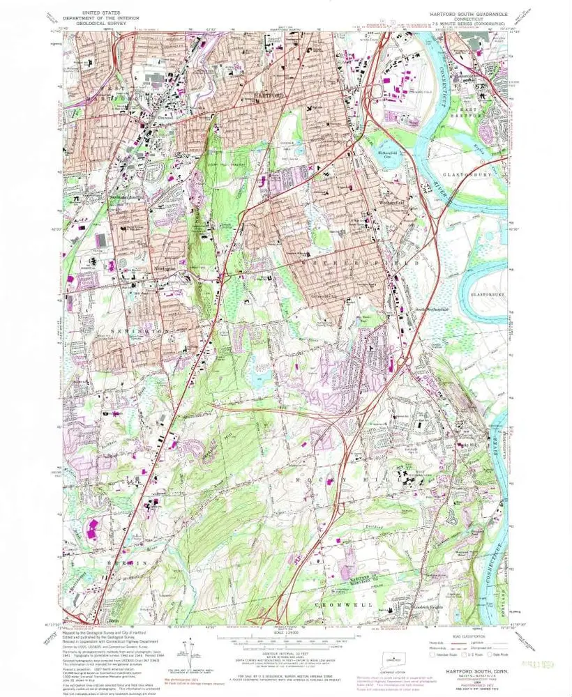
Hartford North
1964
1:24k
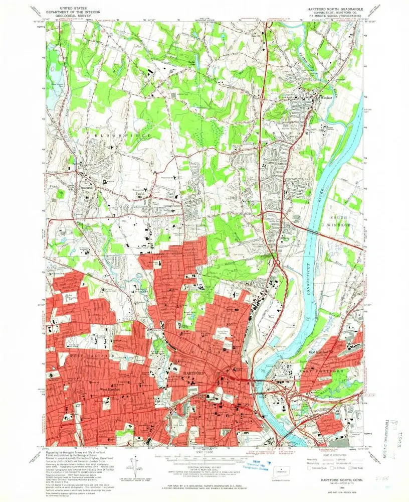
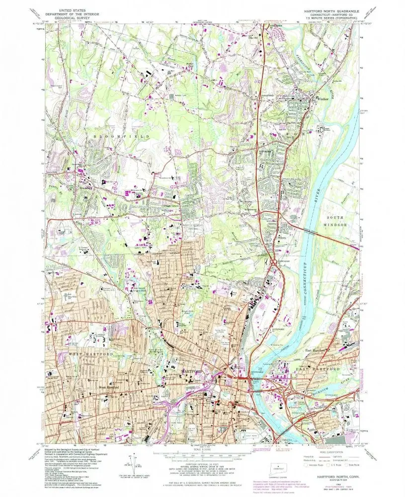
Hartford North
1964
1:24k
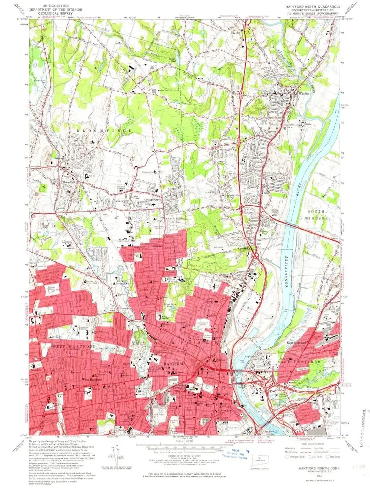
Hartford North
1964
1:24k
Hartford North
1964
1:24k
Hartford North
1964
1:24k
Hartford North
1964
1:24k
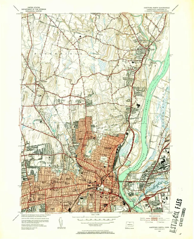
Hartford North
1952
1:24k
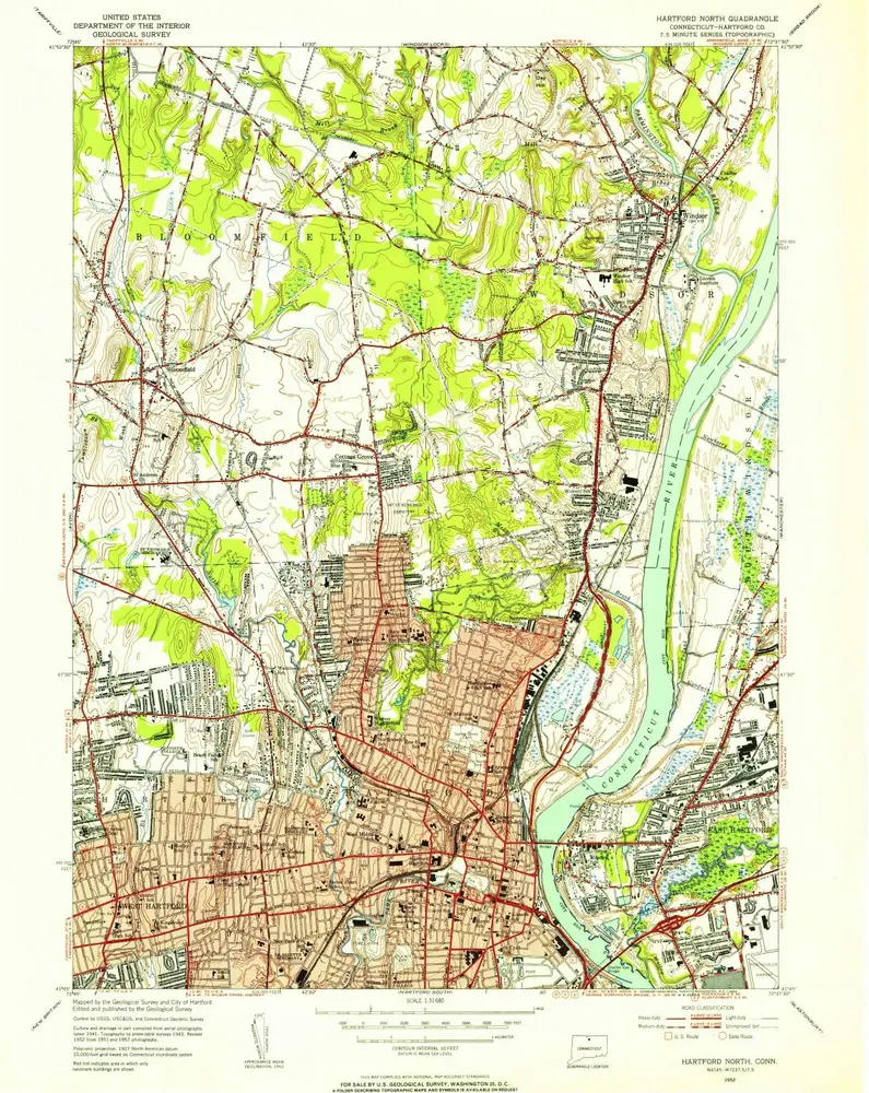
Hartford North
1952
1:32k
Hartford North
1952
1:32k
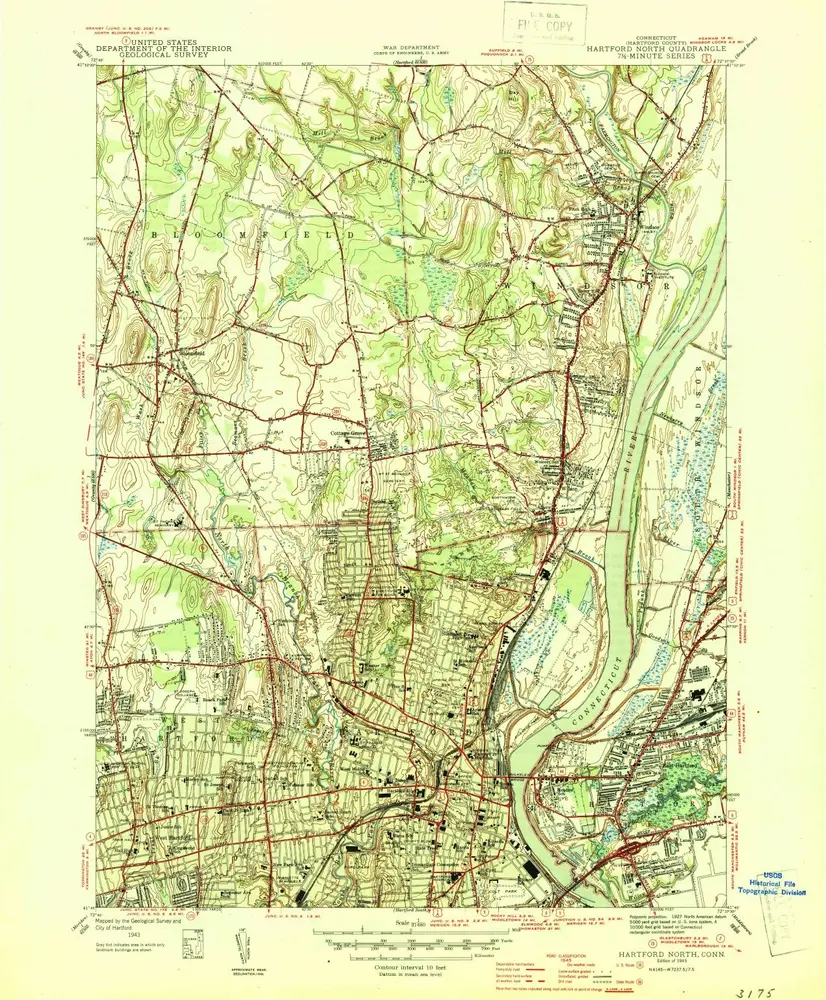
Hartford North
1945
1:32k
Hartford North
1945
1:32k
Windsor
1928
1:24k
L'histoire