Projekt
Komunita
Novinky
Moje aplikace
Moje mapy
Katalogisierte Karte
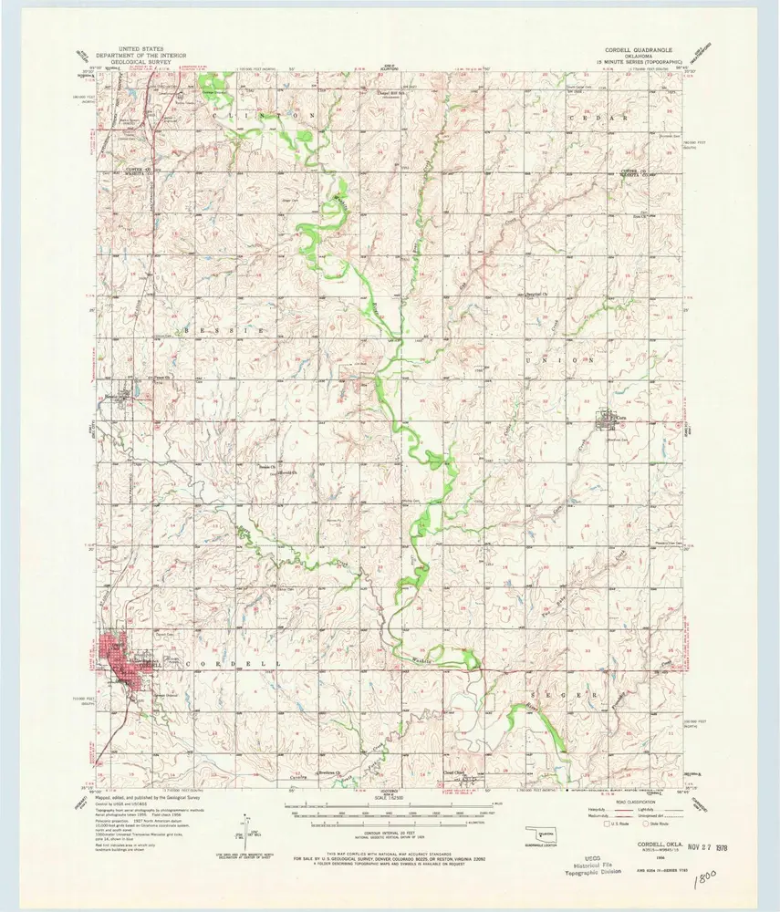
Cordell
Zobrazit na externích webových stránkách
Zobrazit digitalizované
Einrichtung:
United States Geological Survey
Vollständiger Titel:
Cordell
Jahr der Abbildung:
1956
Veröffentlichungsdatum:
1978
Maßstab der Karte:
1:62 500
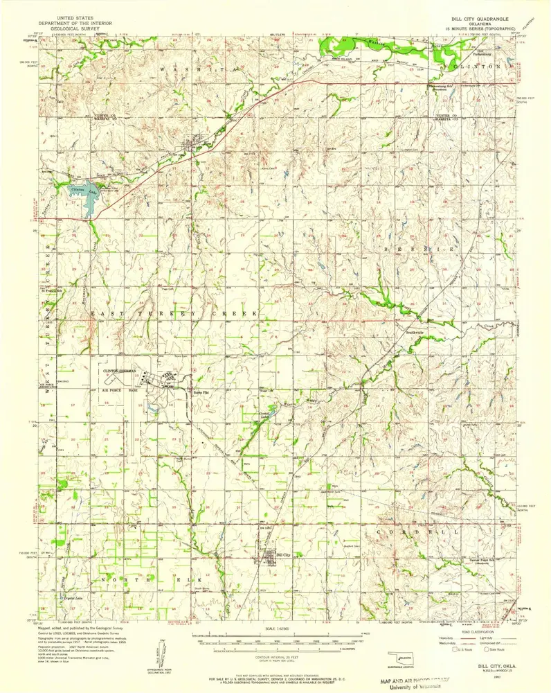
Dill City
1957
1:63k
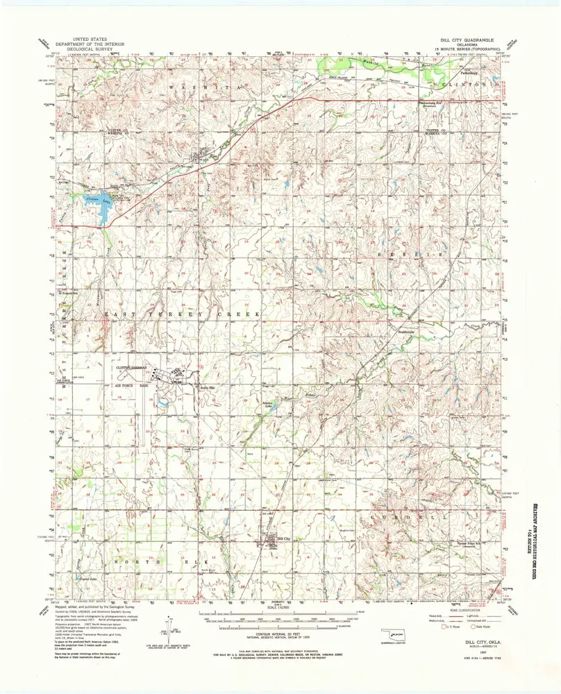
Dill City
1957
1:63k
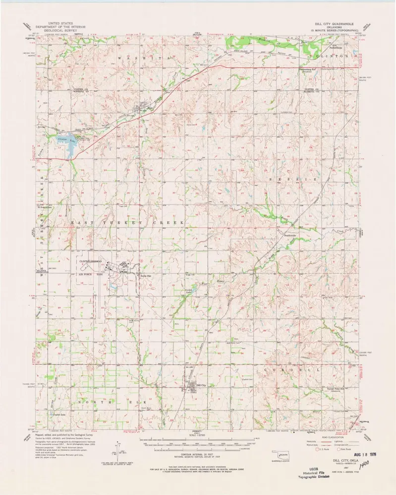
Dill City
1957
1:63k
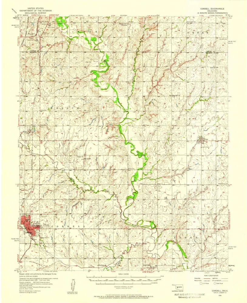
Cordell
1956
1:63k
Cordell
1956
1:63k
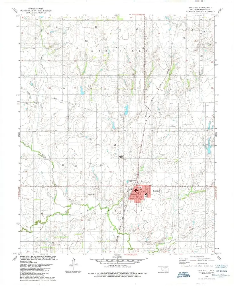
Sentinel
1984
1:24k
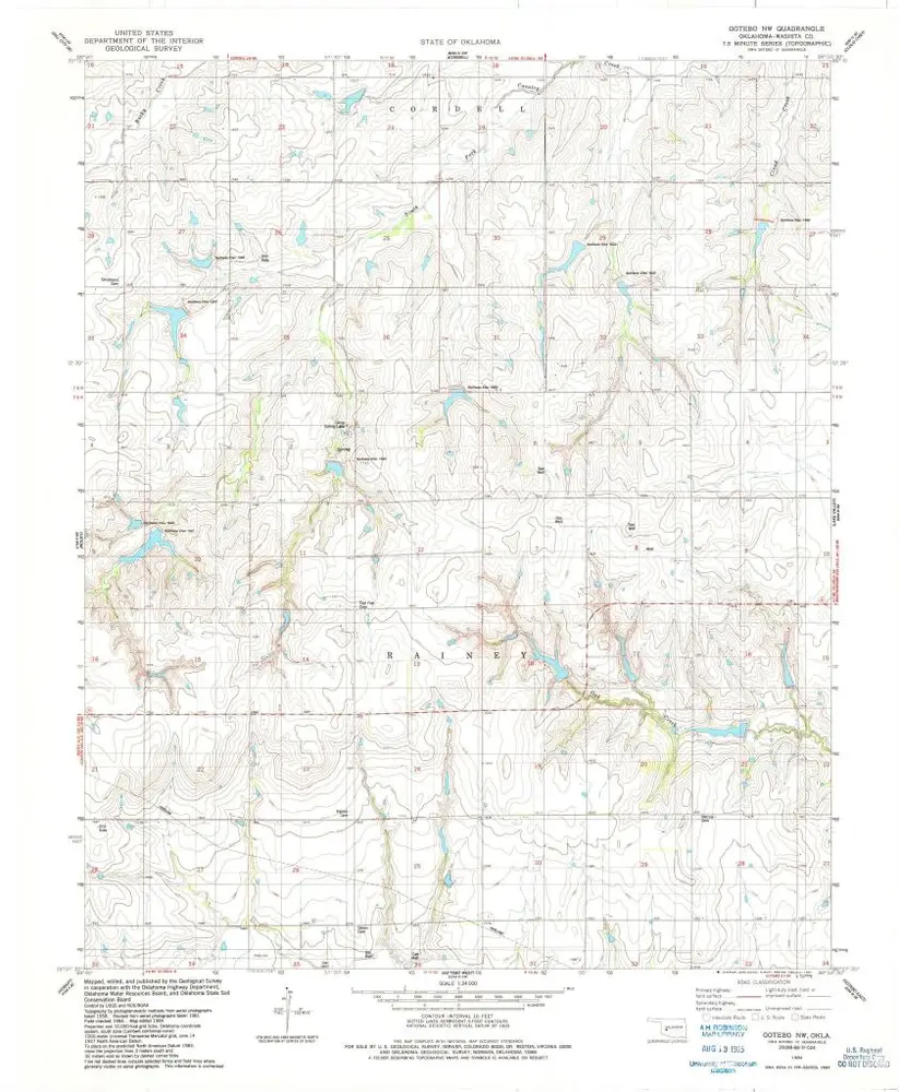
Gotebo NW
1984
1:24k
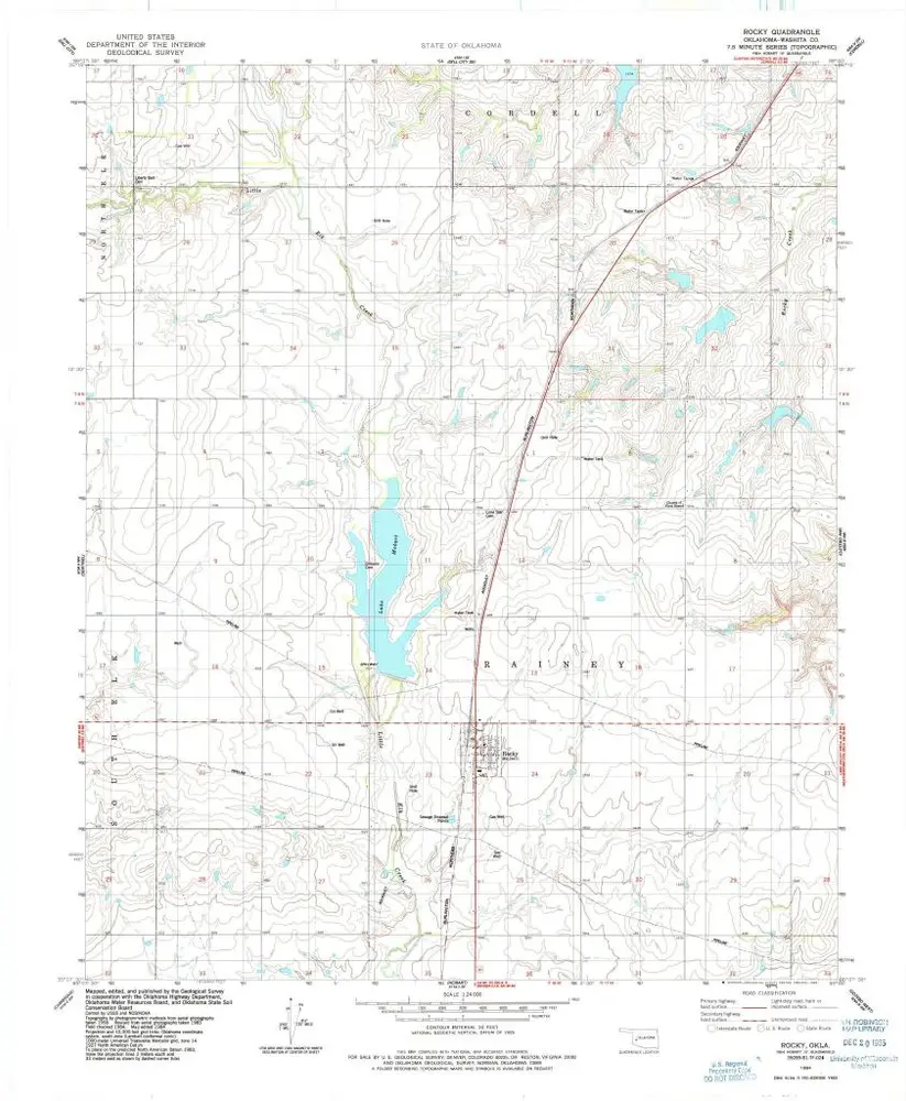
Rocky
1984
1:24k
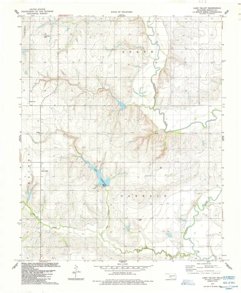
Lake Valley
1984
1:24k
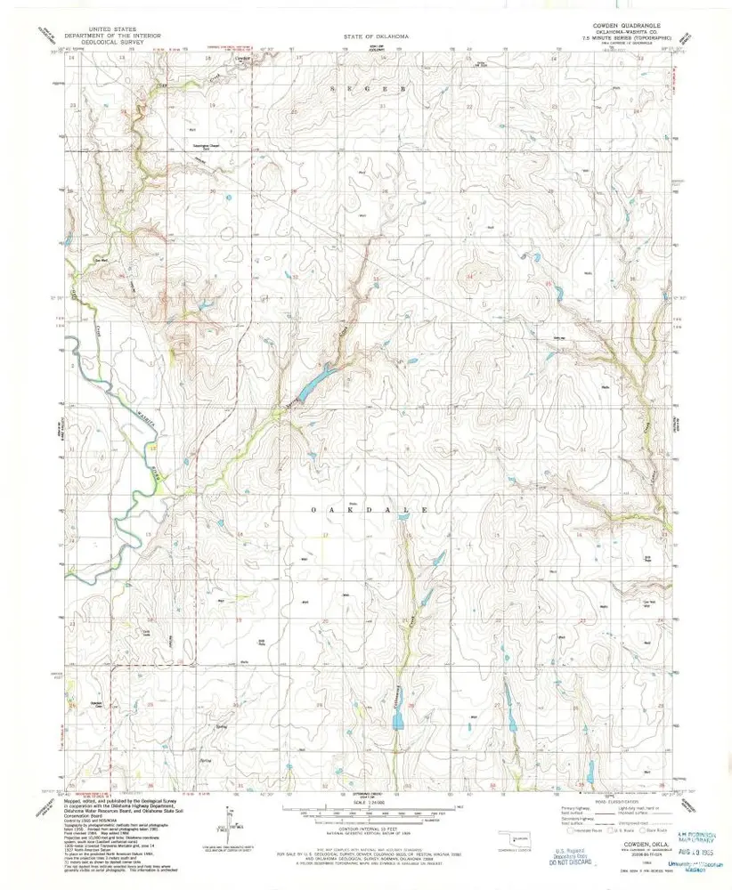
Cowden
1984
1:24k
Geschichte