Projekt
Komunita
Novinky
Moje aplikace
Moje mapy
Gecatalogiseerde kaart
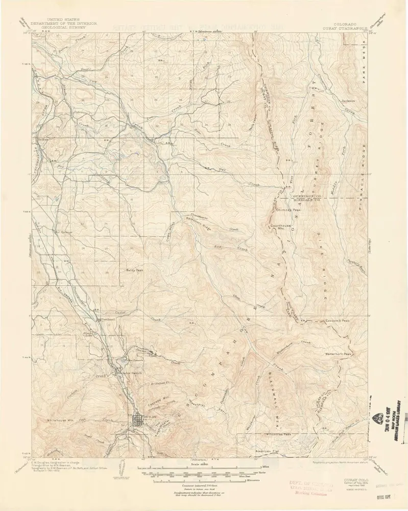
Ouray
Zobrazit na externích webových stránkách
Volledige titel:
Ouray
Jaar illustratie:
1904
Pubdatum:
1948
Schaal kaart:
1:62 500
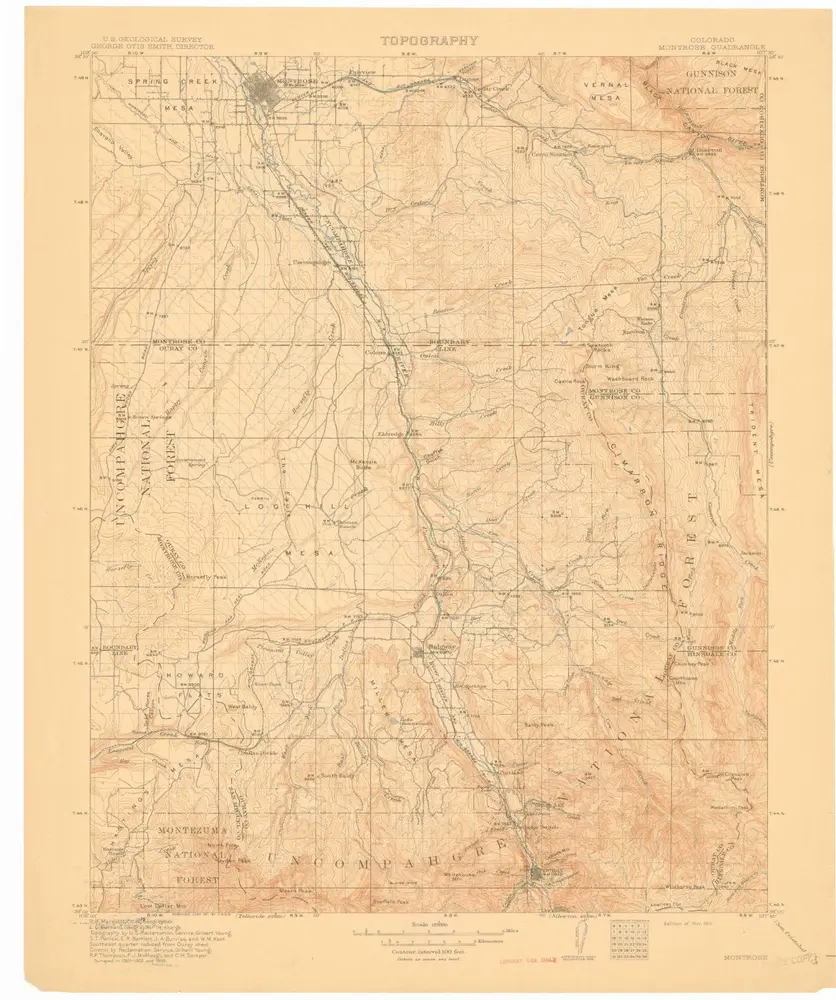
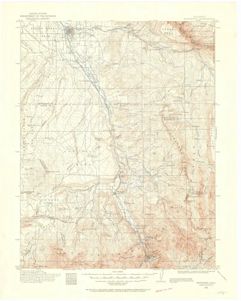
Montrose
1911
1:125k
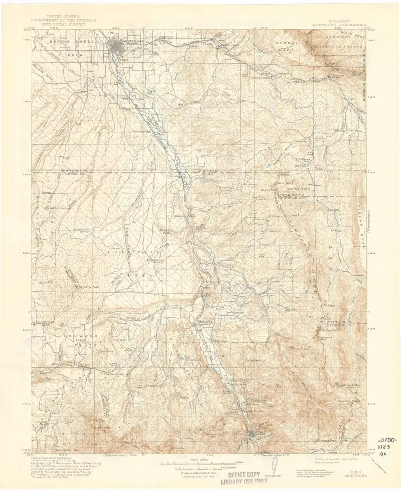
Montrose
1911
1:125k
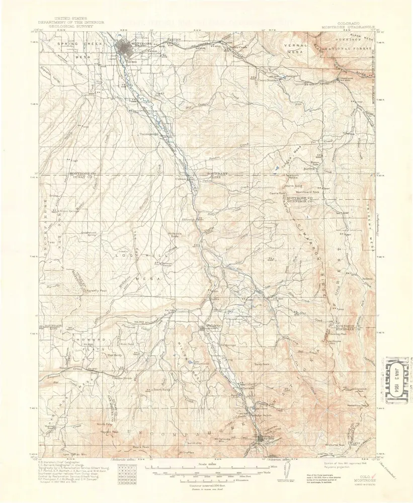
Montrose
1911
1:125k
Montrose
1909
1:125k
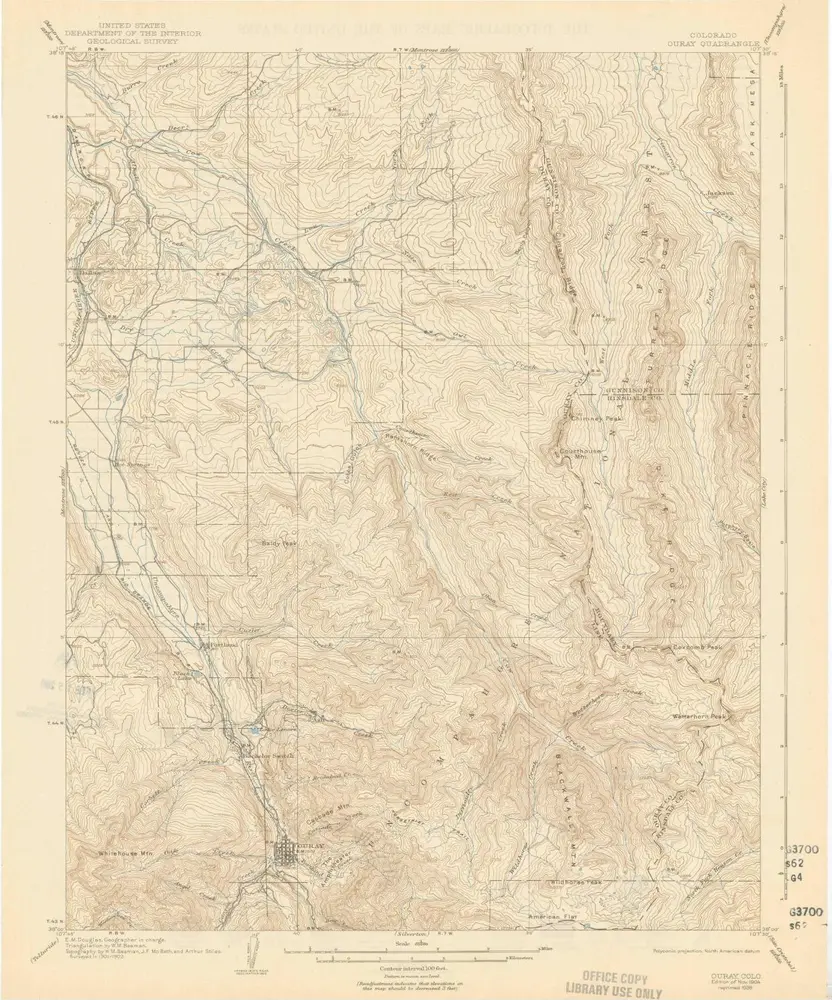
Ouray
1904
1:63k
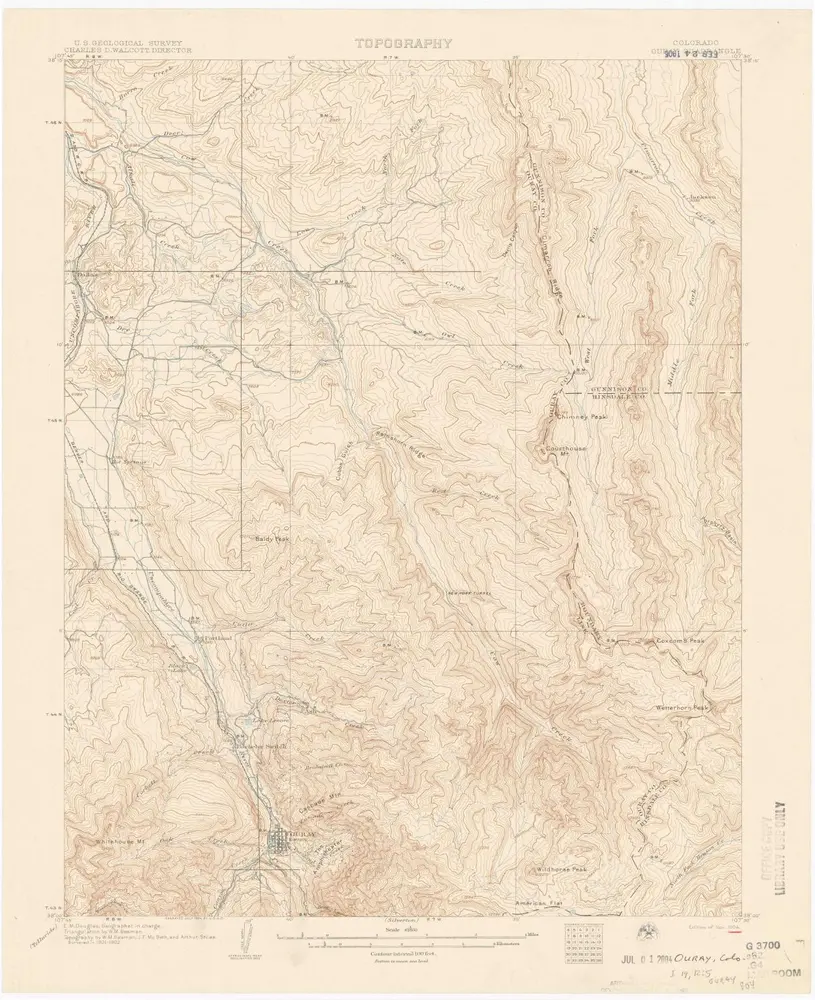
Ouray
1904
1:63k
Ouray
1904
1:63k
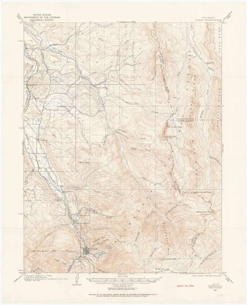
Ouray
1902
1:63k
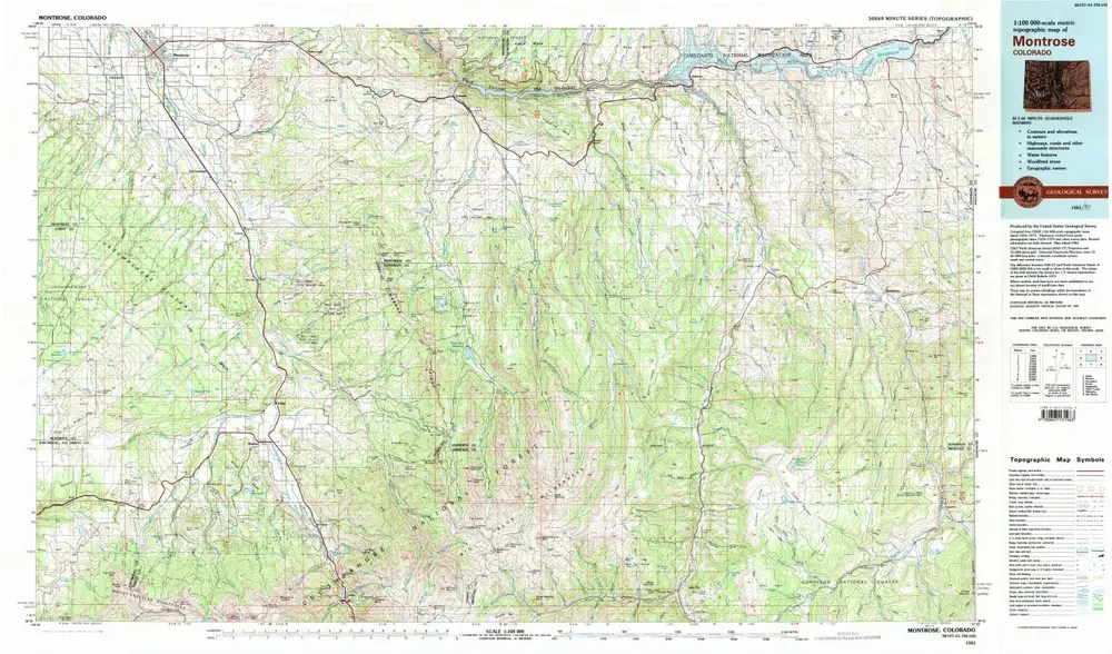
Montrose
1983
1:100k
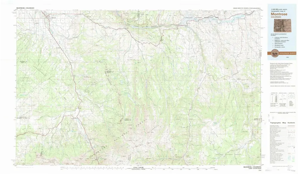
Montrose
1983
1:100k
Geschiedenis