Projekt
Komunita
Novinky
Moje aplikace
Moje mapy
Skatalogowana mapa
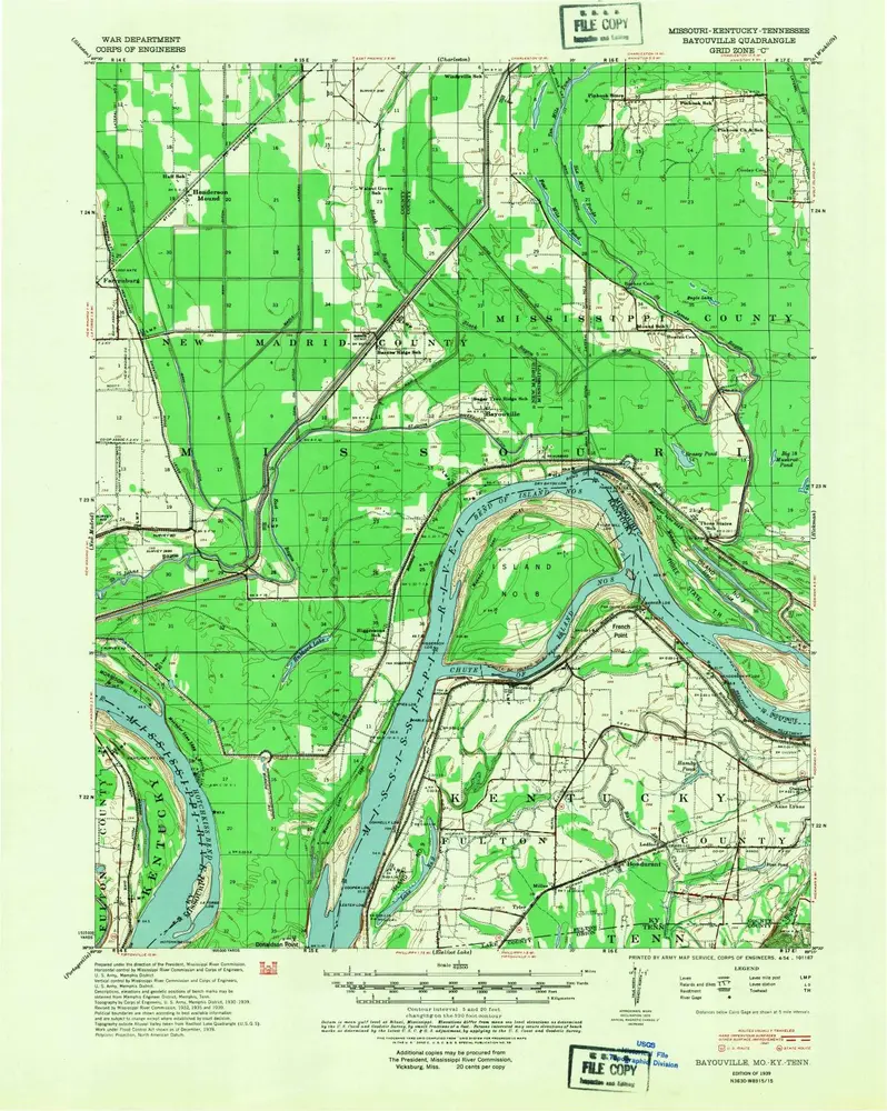
Bayouville
Zobrazit na externích webových stránkách
View digitized
Instytucja:
United States Geological Survey
Pełny tytuł:
Bayouville
Rok ilustracji:
1939
Data publikacji:
1954
Skala mapy:
1:62 500
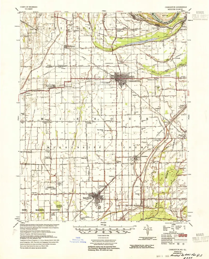
Charleston
1954
1:63k
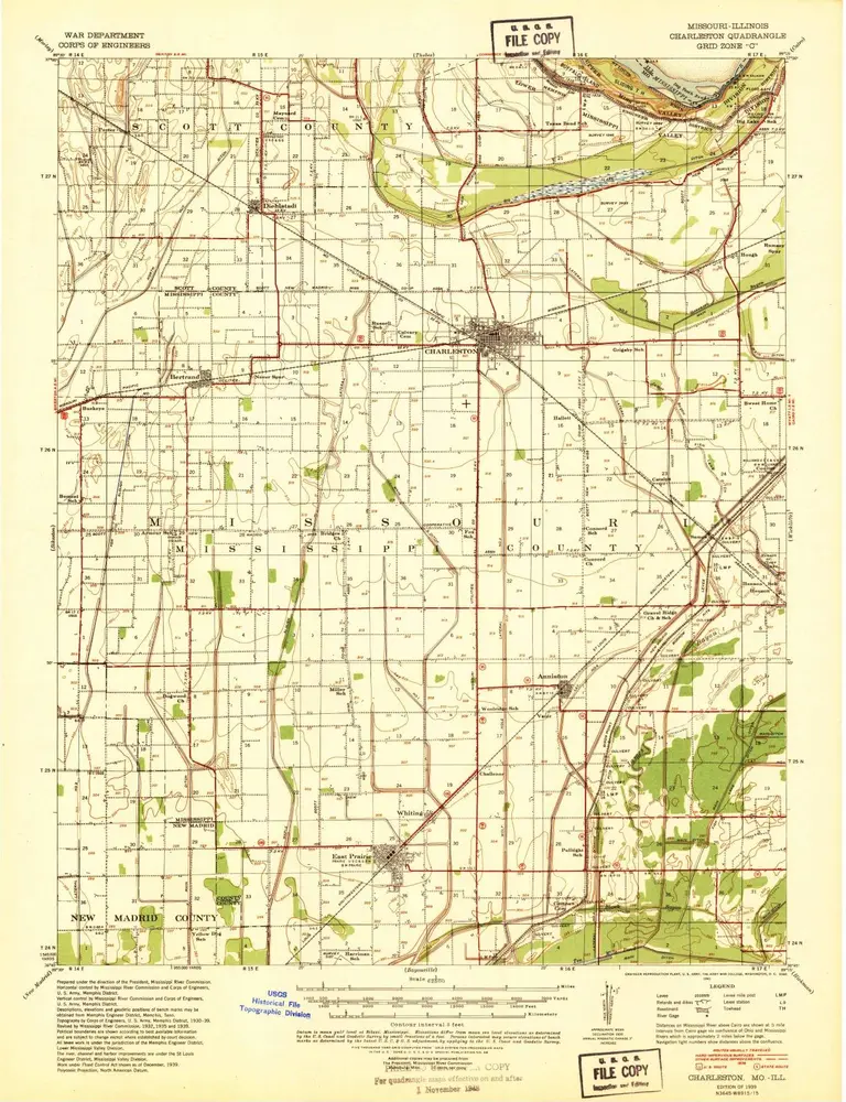
Charleston
1939
1:63k
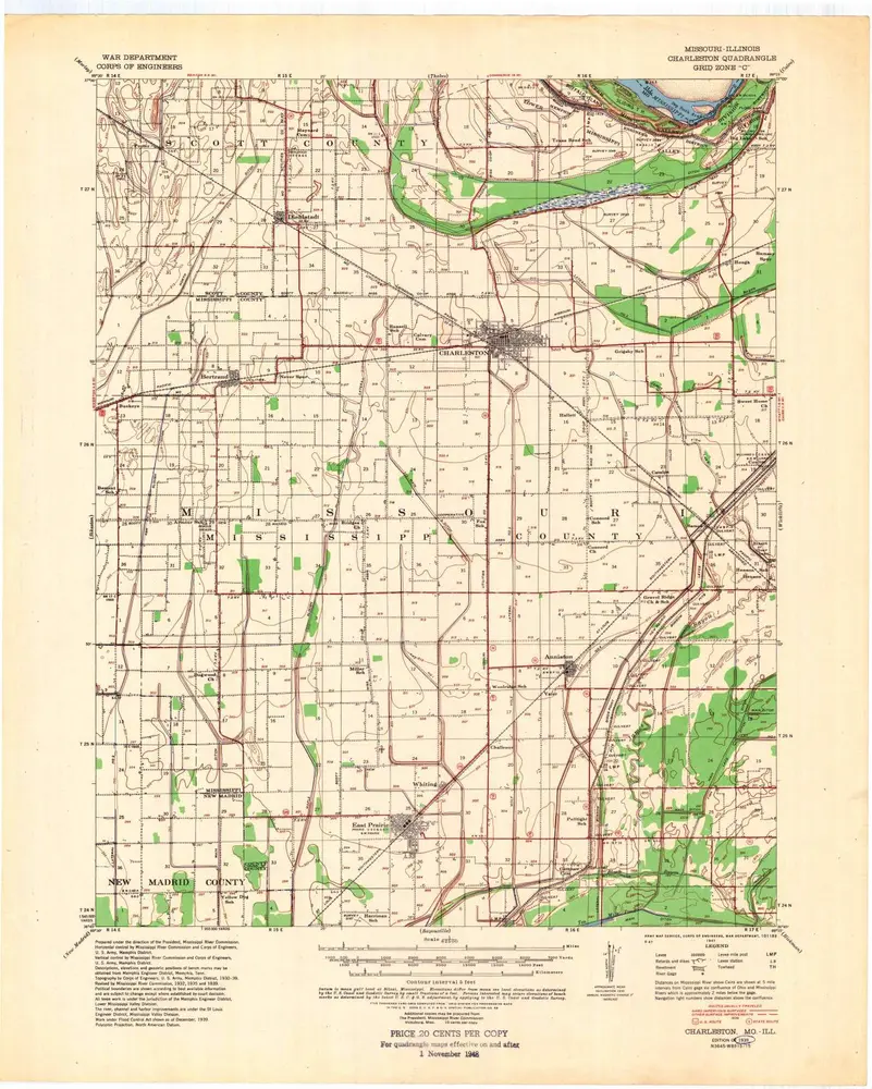
Charleston
1939
1:63k
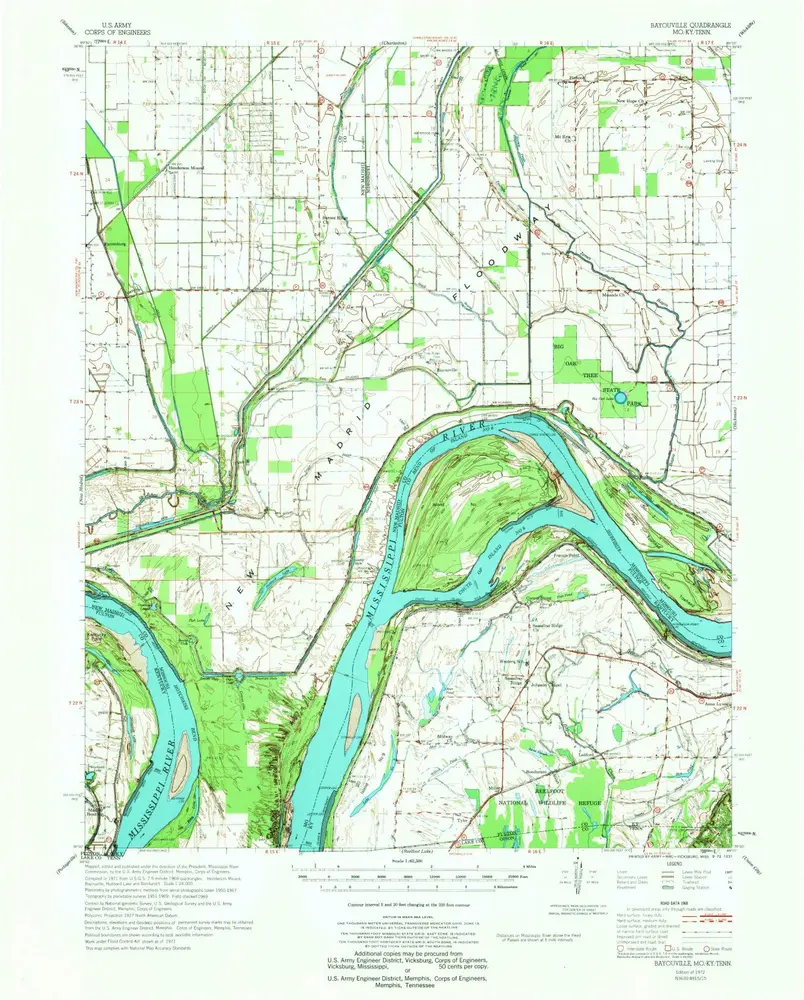
Bayouville
1972
1:63k
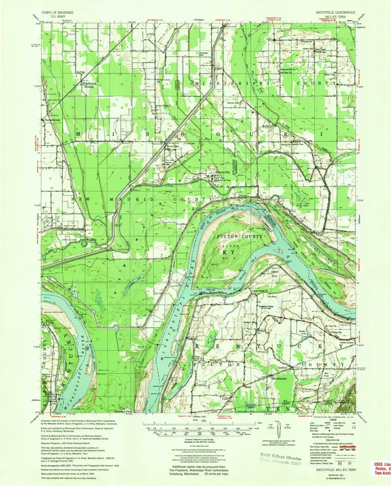
Bayouville
1955
1:63k
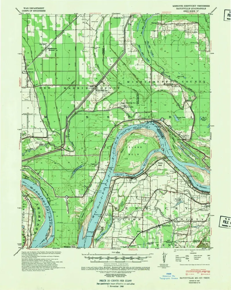
Bayouville
1939
1:63k
Bayouville
1939
1:63k
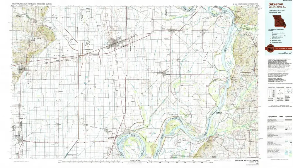
Sikeston
1985
1:100k
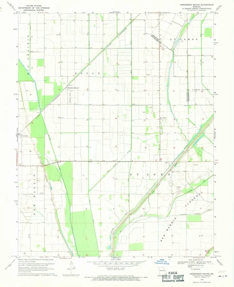
Henderson Mound
1969
1:24k
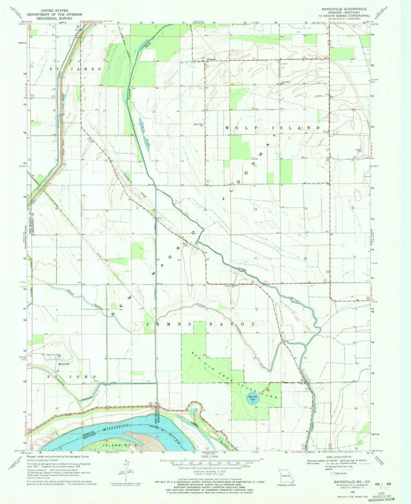
Bayouville
1969
1:24k
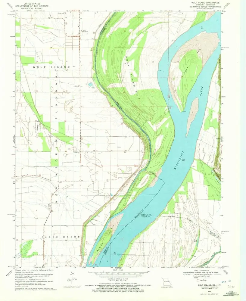
Wolf Island
1969
1:24k
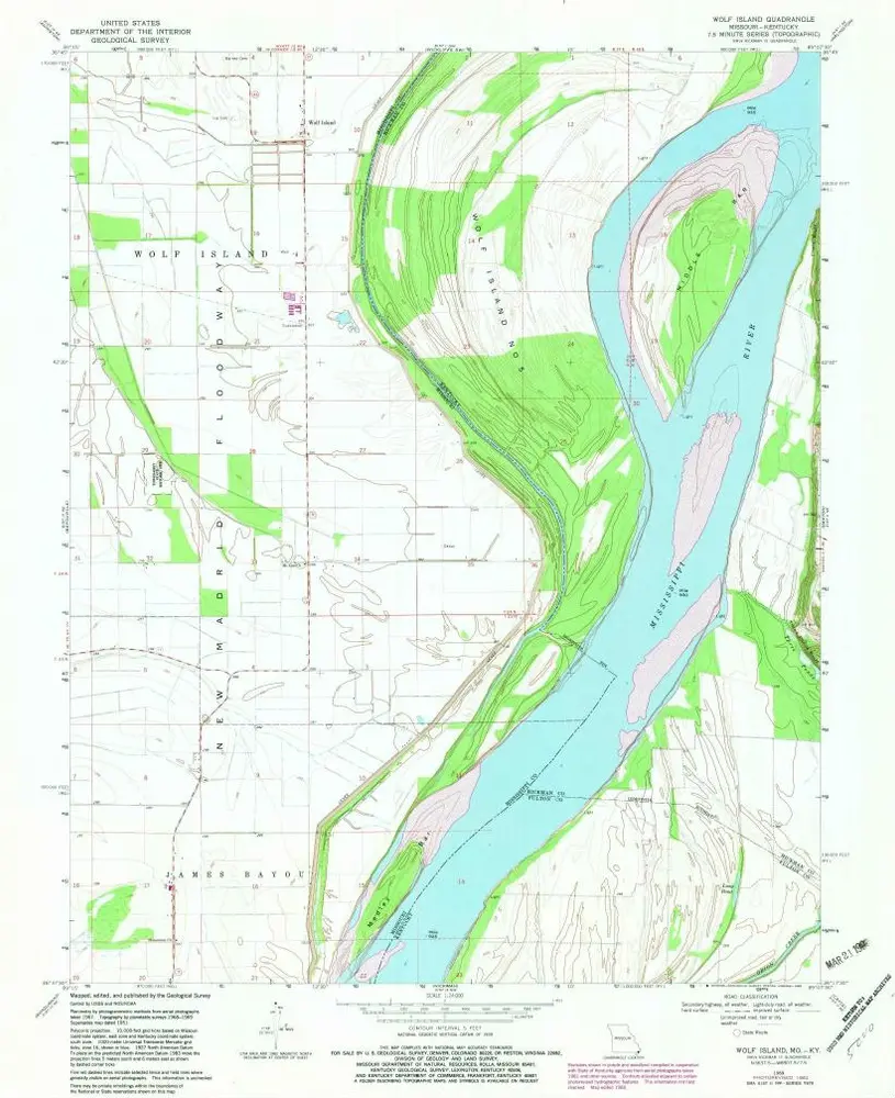
Wolf Island
1969
1:24k
Historia