Projekt
Komunita
Novinky
Moje aplikace
Moje mapy
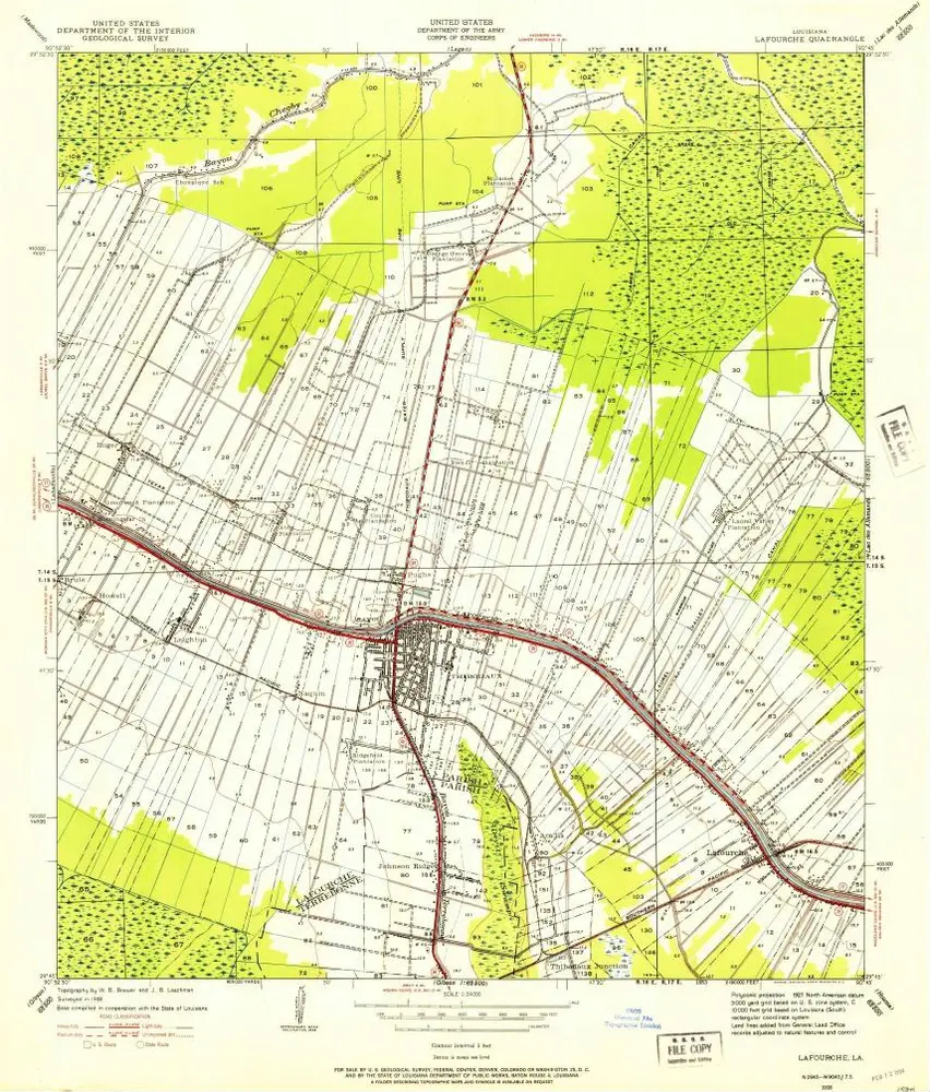
Carte cataloguée
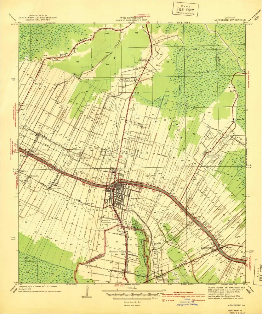
Lafourche
Zobrazit na externích webových stránkách
View digitized
Institution:
United States Geological Survey
Titre complet:
Lafourche
Année de l'image:
1940
Échelle de la carte:
1:31 680
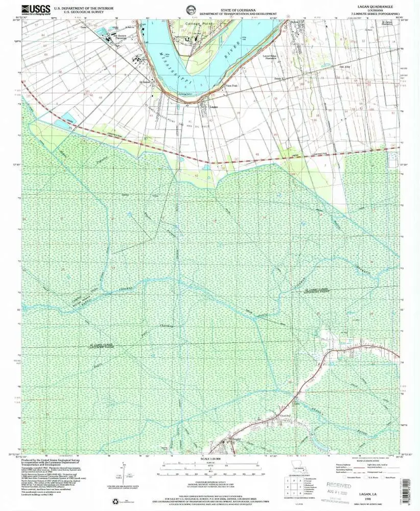
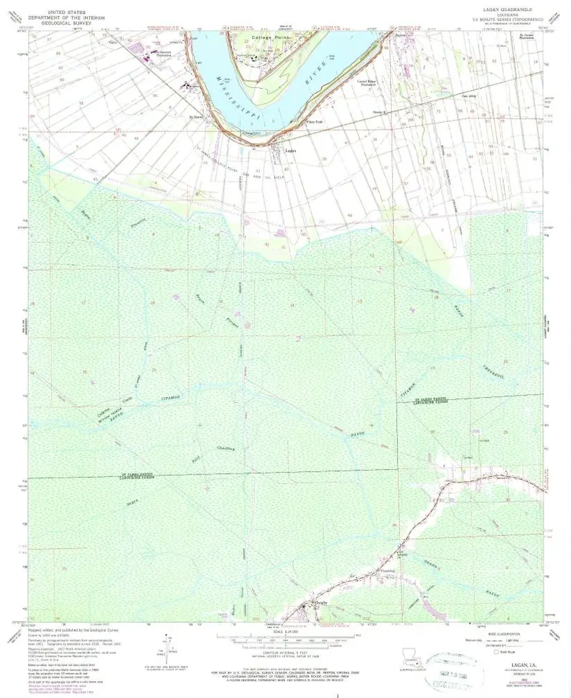
Lagan
1998
1:24k
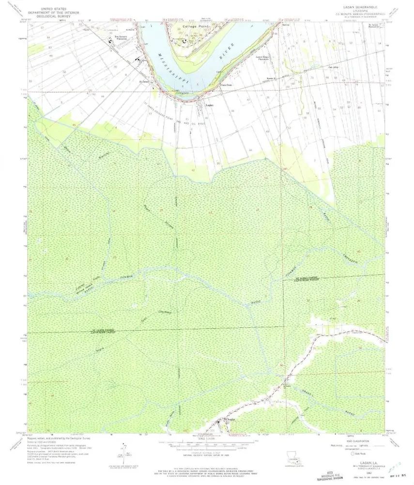
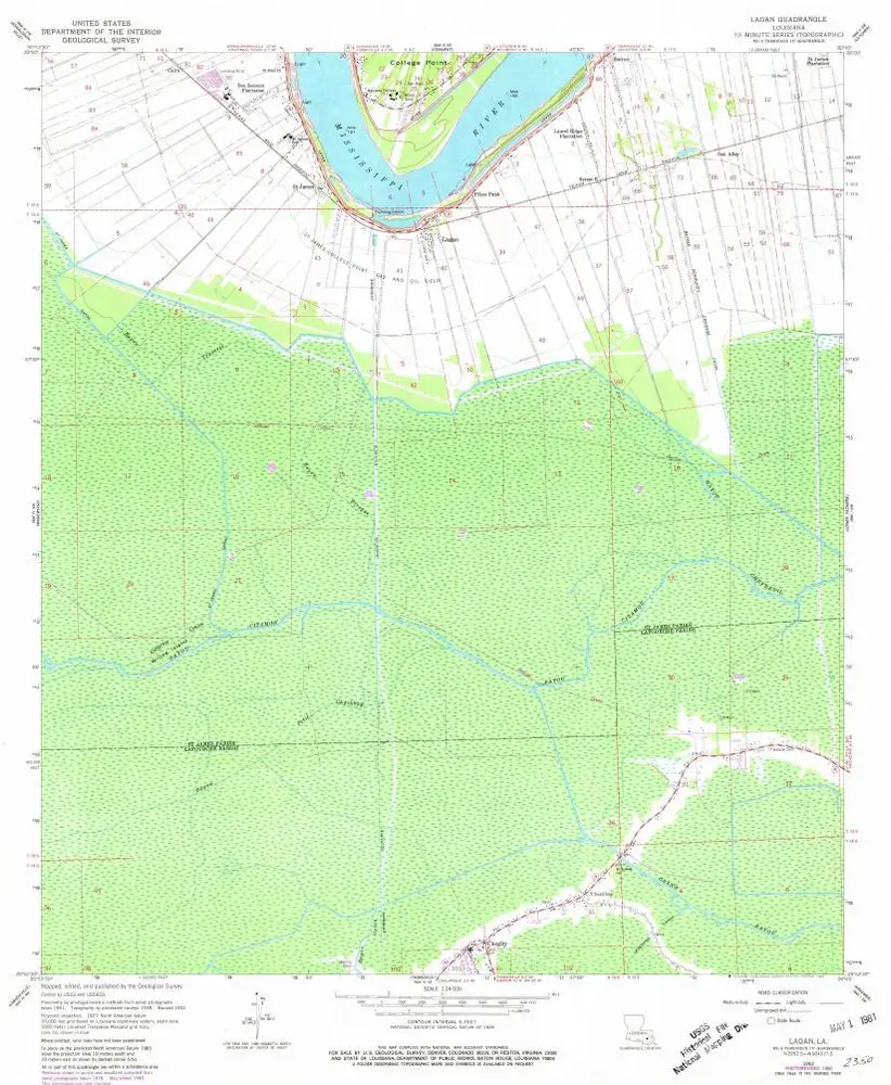
Lagan
1962
1:24k
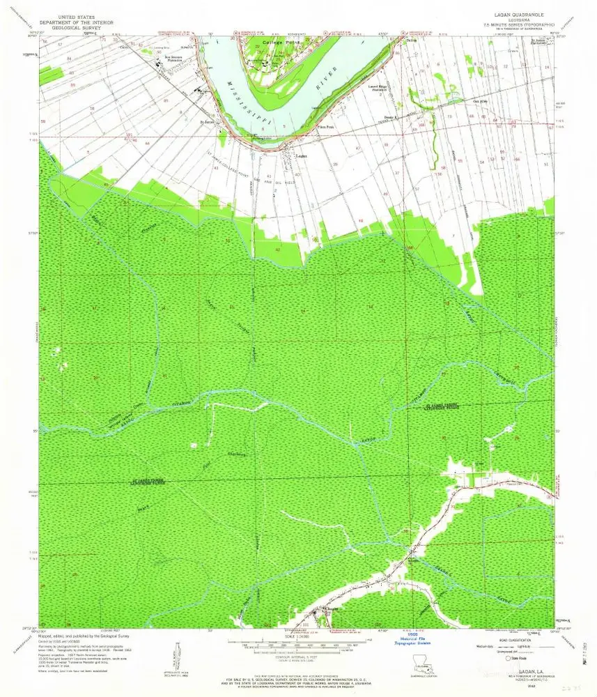
Lagan
1962
1:24k
Lagan
1962
1:24k
Lagan
1962
1:24k
Lagan
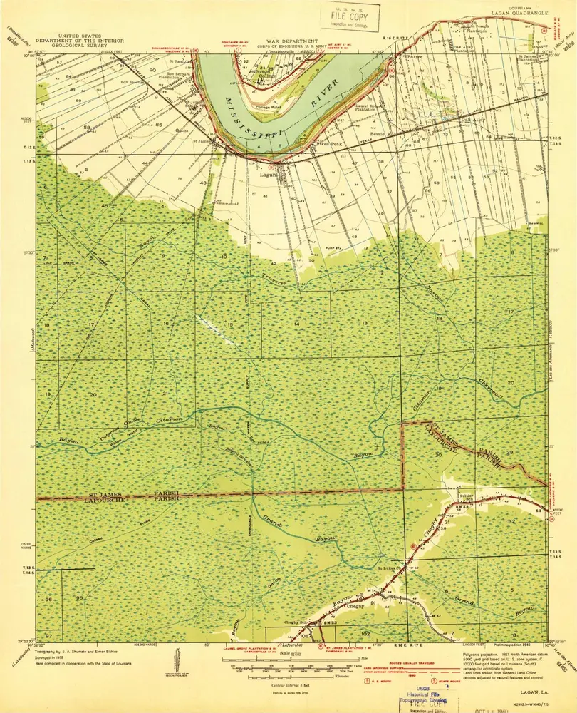
1940
1:24k
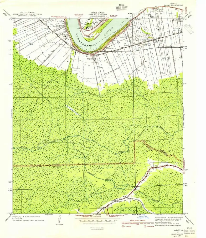
Lagan
1940
1:32k
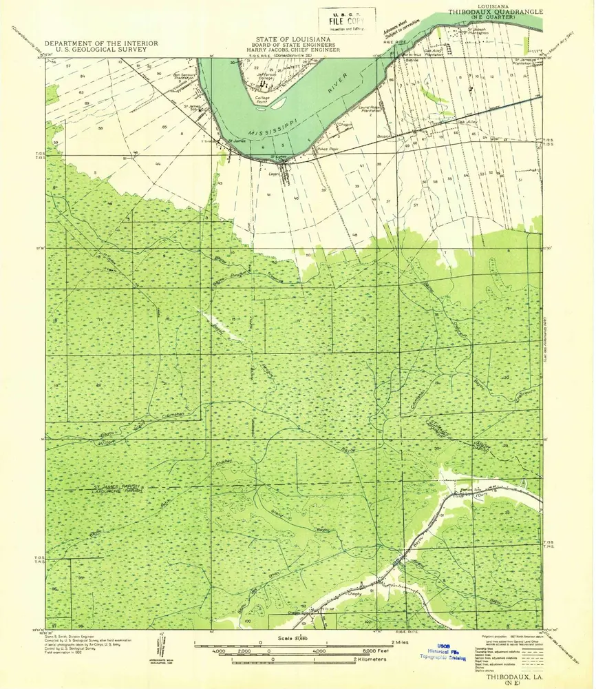
Thibodaux NE
1932
1:32k
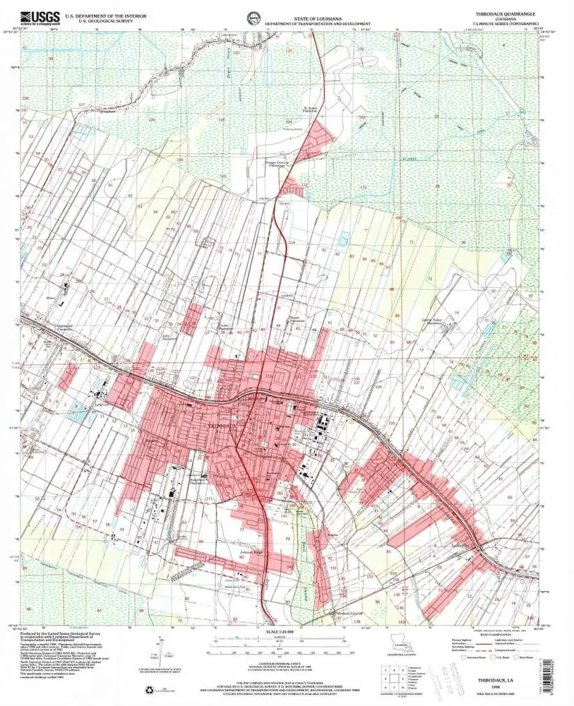
Thibodaux
1998
1:24k
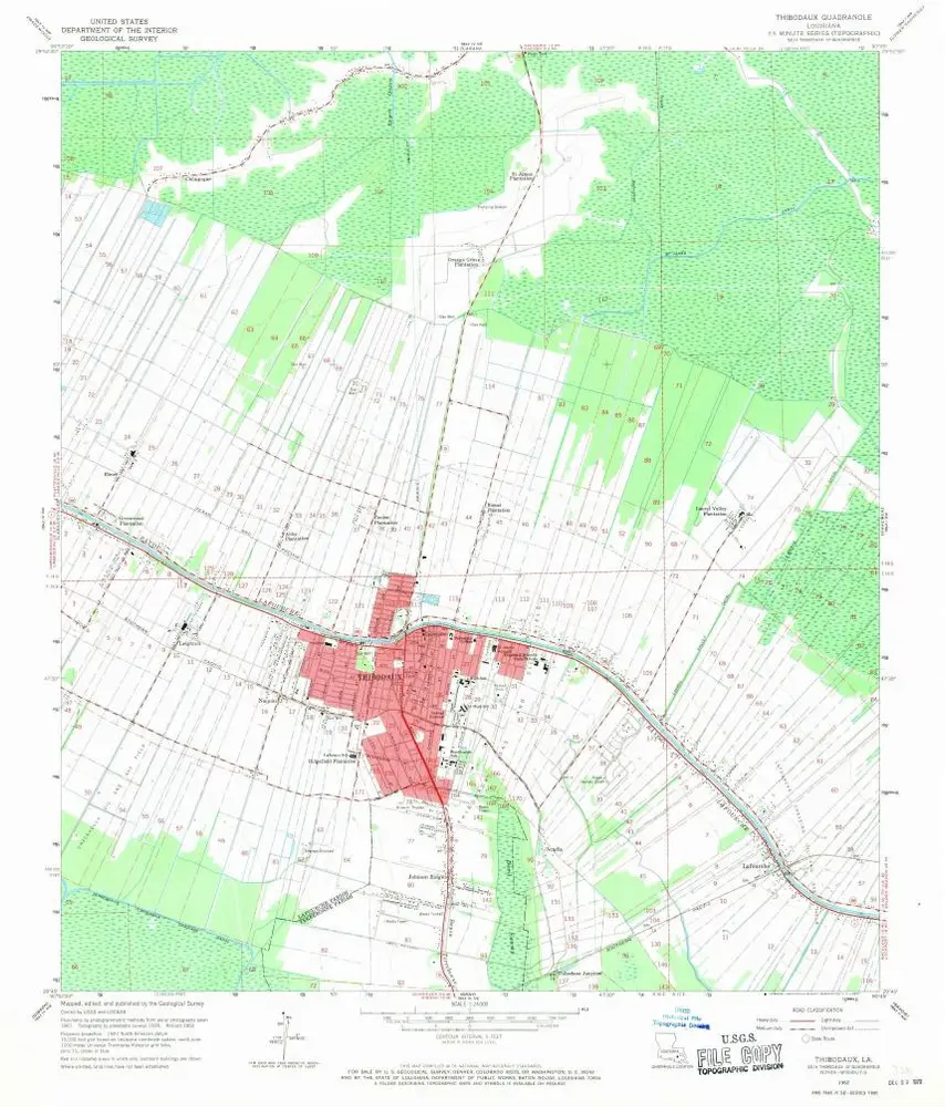
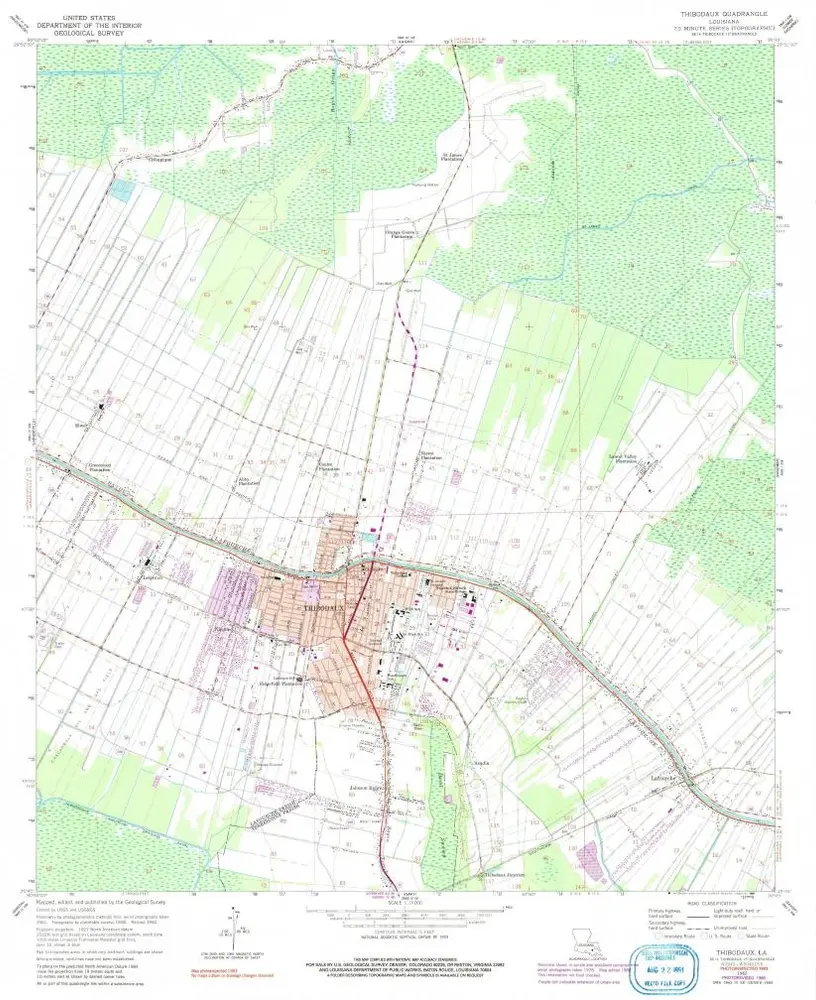
Thibodaux
1962
1:24k
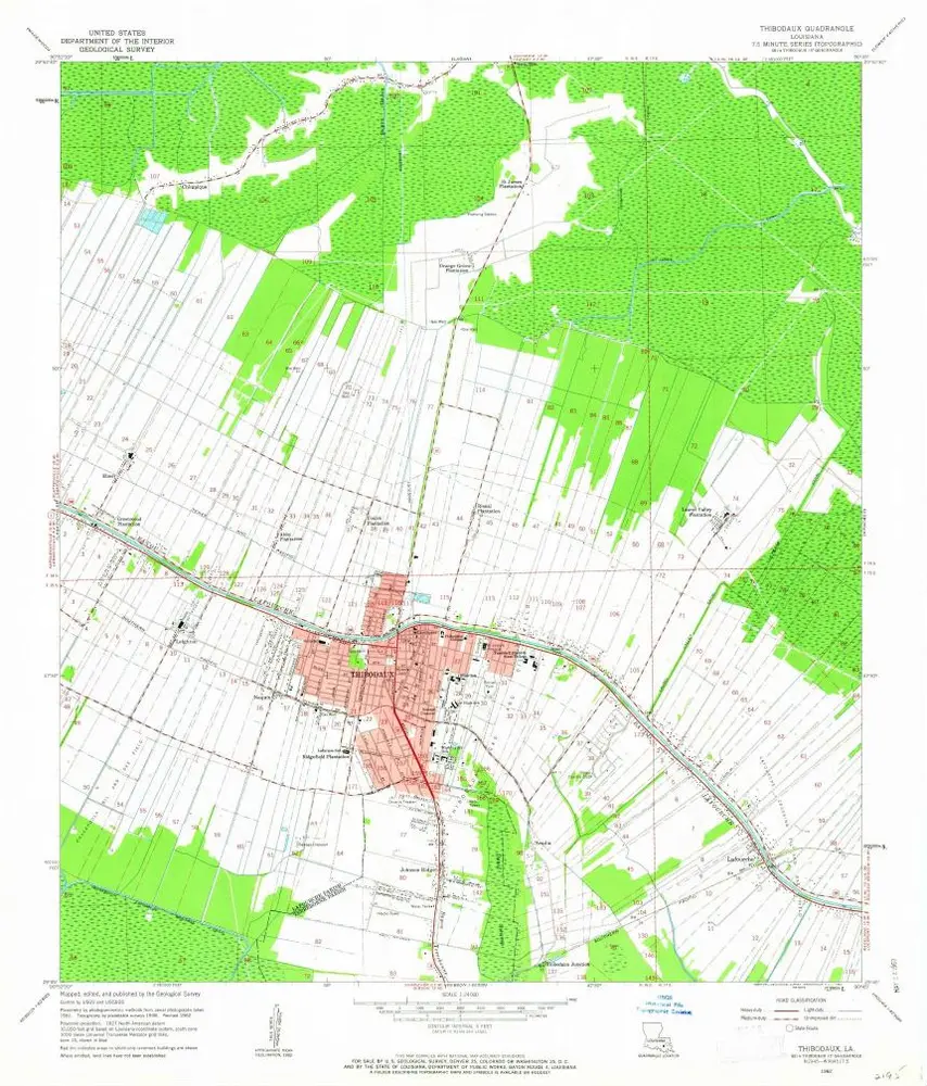
Thibodaux
1962
1:24k
Thibodaux
1962
1:24k
Lafourche
1940
1:32k
Lafourche
1938
1:24k
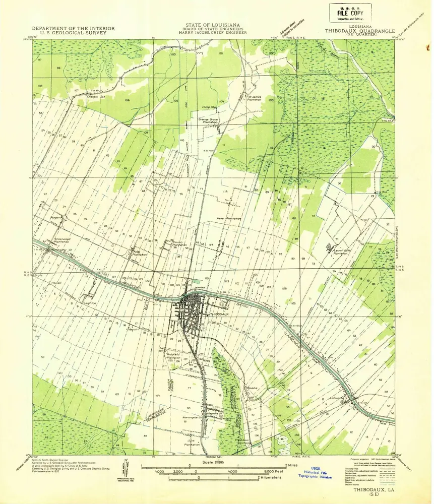
Thibodaux SE
1932
1:32k
L'histoire