Projekt
Komunita
Novinky
Moje aplikace
Moje mapy
Mapa catalogado
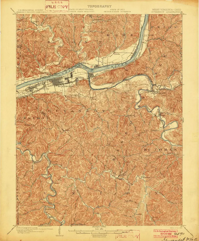
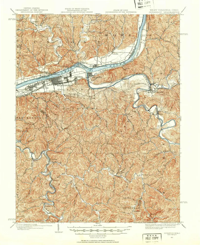
Guyandot
Zobrazit na externích webových stránkách
View digitized
Institución:
United States Geological Survey
Título completo:
Guyandot
Año de ilustración:
1902
Escala del mapa:
1:62 500
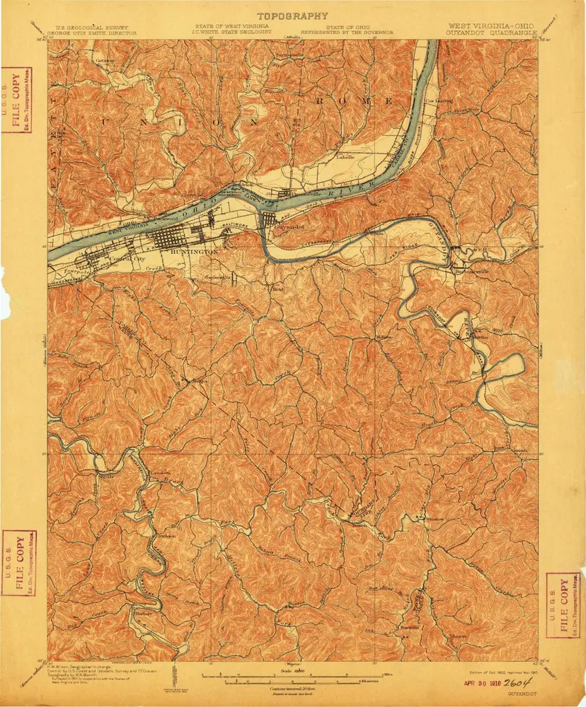
Guyandot
1902
1:63k
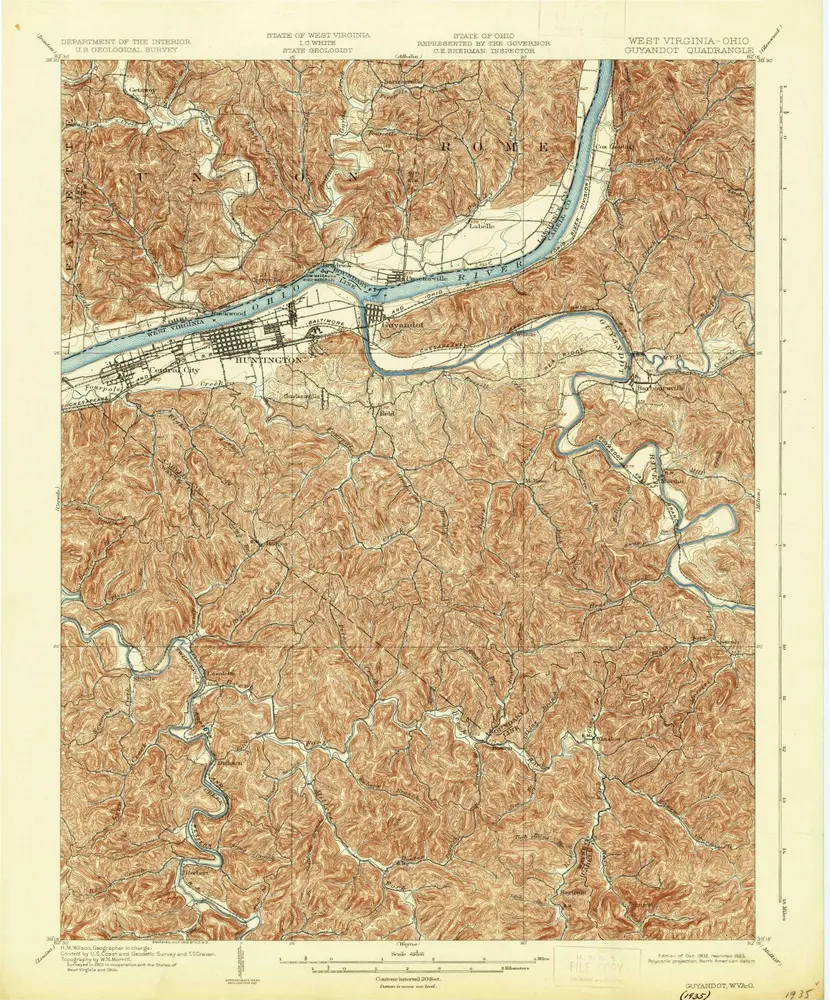
Guyandot
1902
1:63k
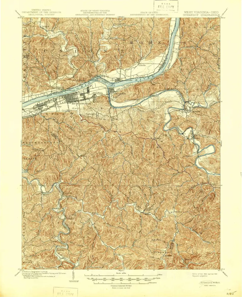
Guyandot
1902
1:63k
Guyandot
1902
1:63k
Guyandot
1901
1:63k
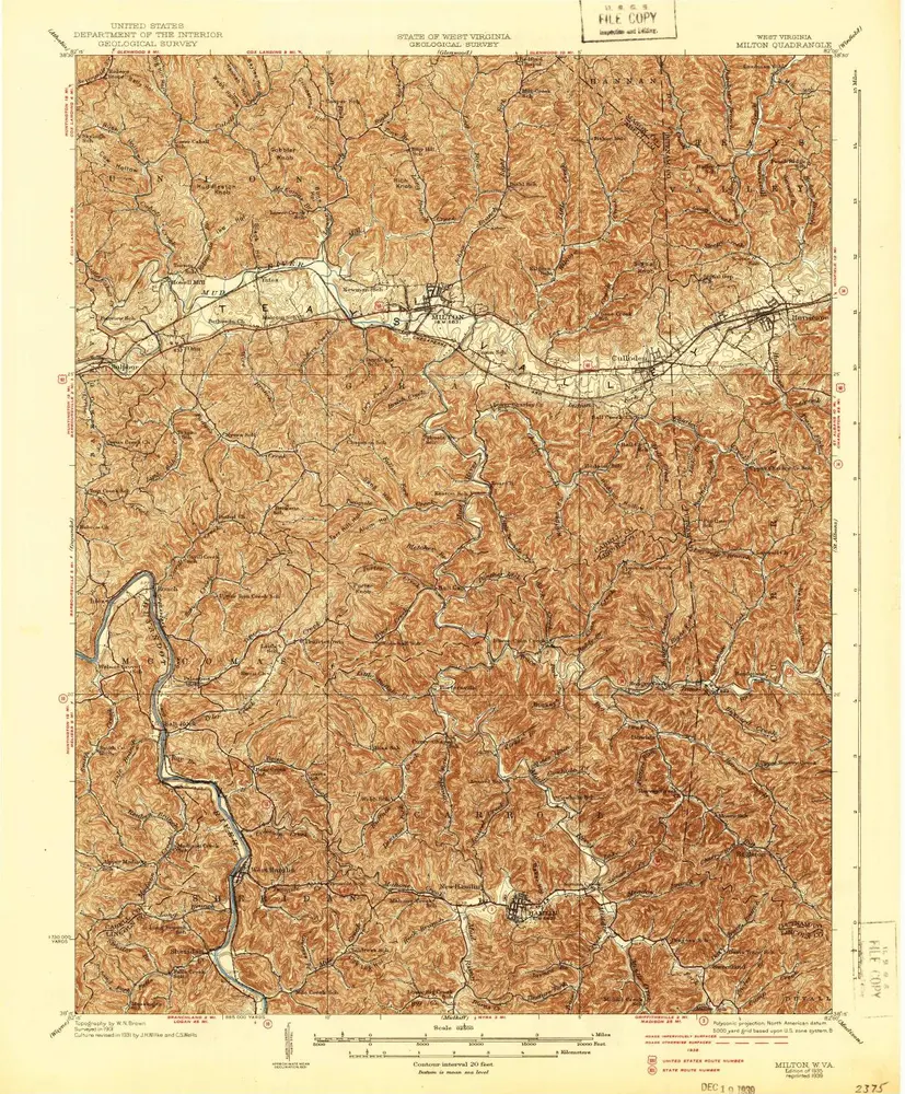
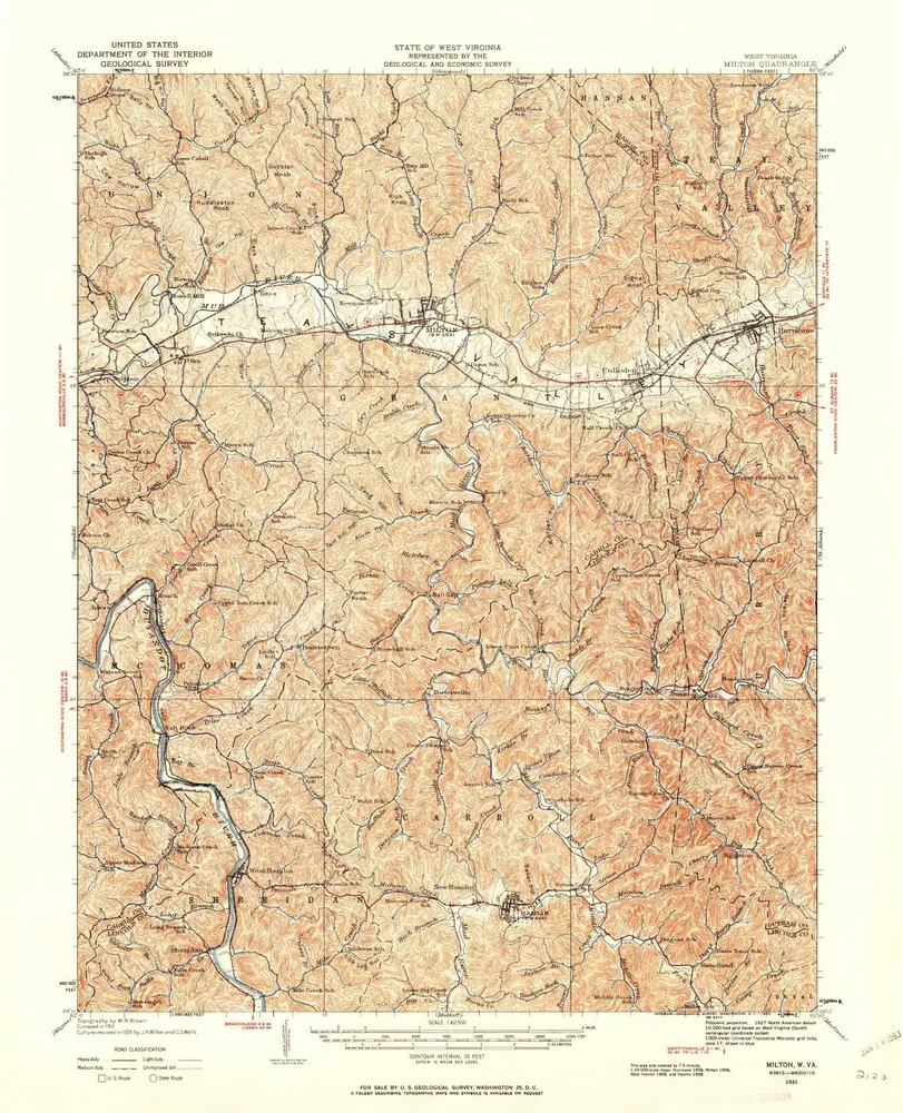
Milton
1935
1:63k
Milton
1935
1:63k
Milton
1935
1:63k
Milton
1931
1:63k
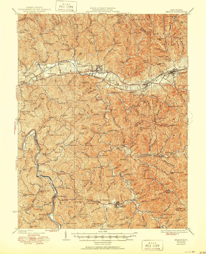
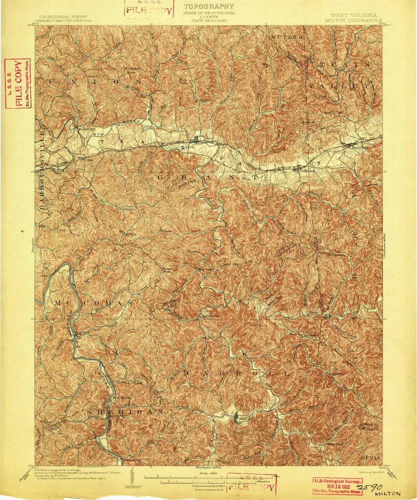
Milton
1902
1:63k
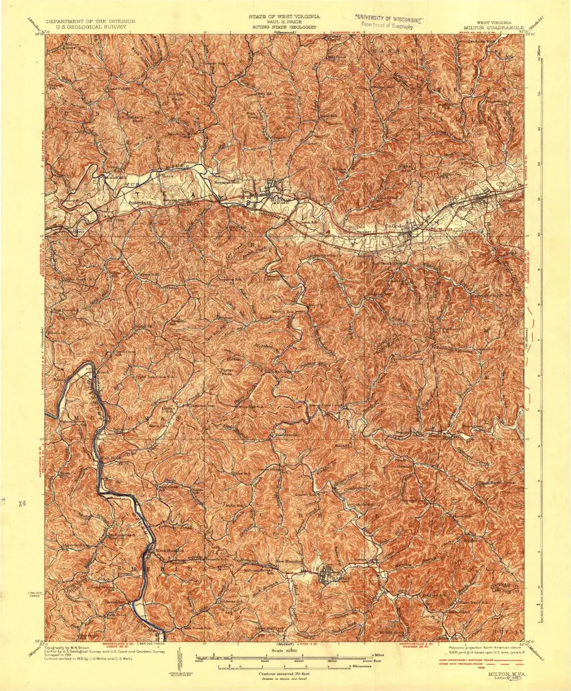
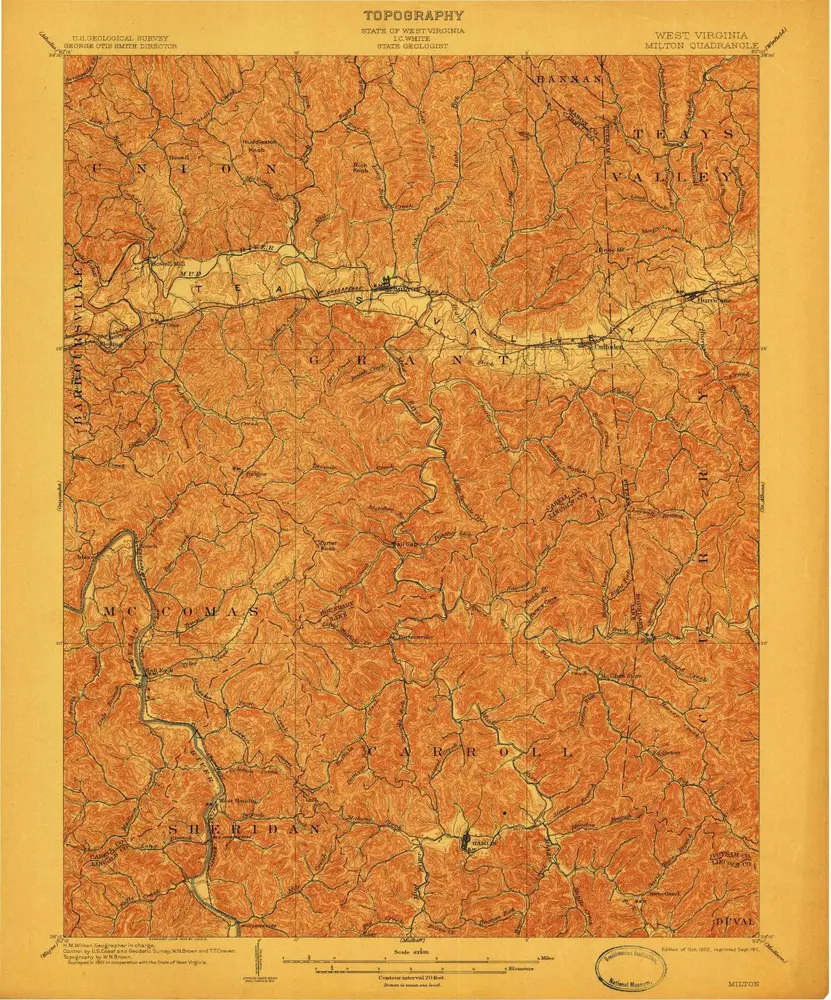
Milton
1902
1:63k
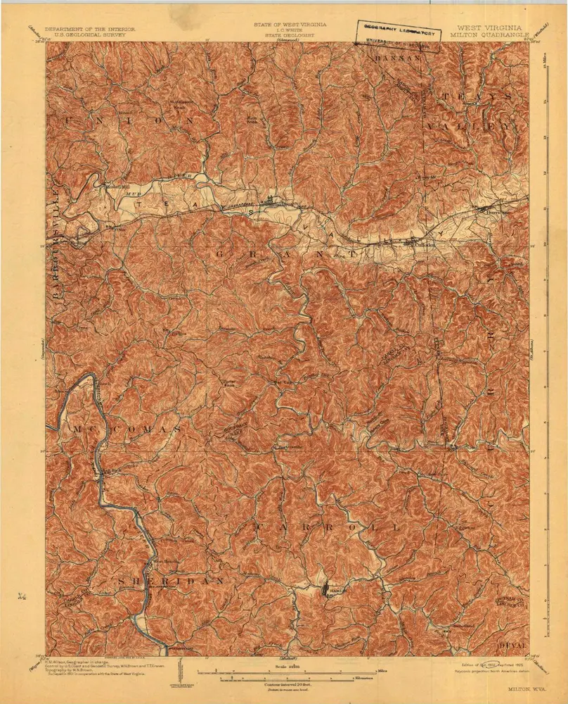
Milton
1902
1:63k
Historia