Projekt
Komunita
Novinky
Moje aplikace
Moje mapy
Skatalogowana mapa
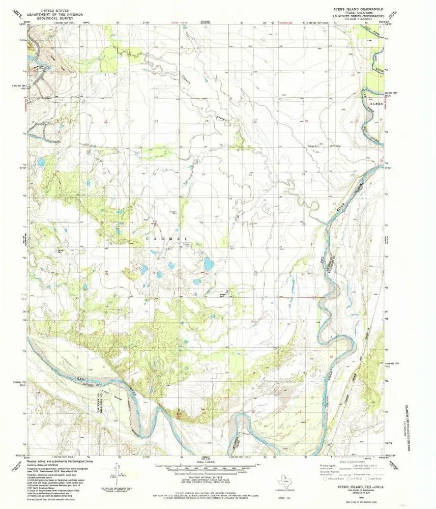
Ayers Island
Zobrazit na externích webových stránkách
View digitized
Instytucja:
United States Geological Survey
Pełny tytuł:
Ayers Island
Rok ilustracji:
1985
Data publikacji:
1985
Skala mapy:
1:24 000
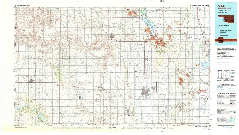
Altus
1985
1:100k
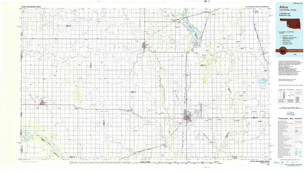
Altus
1985
1:100k
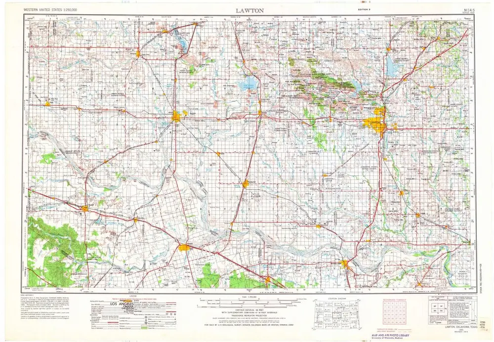
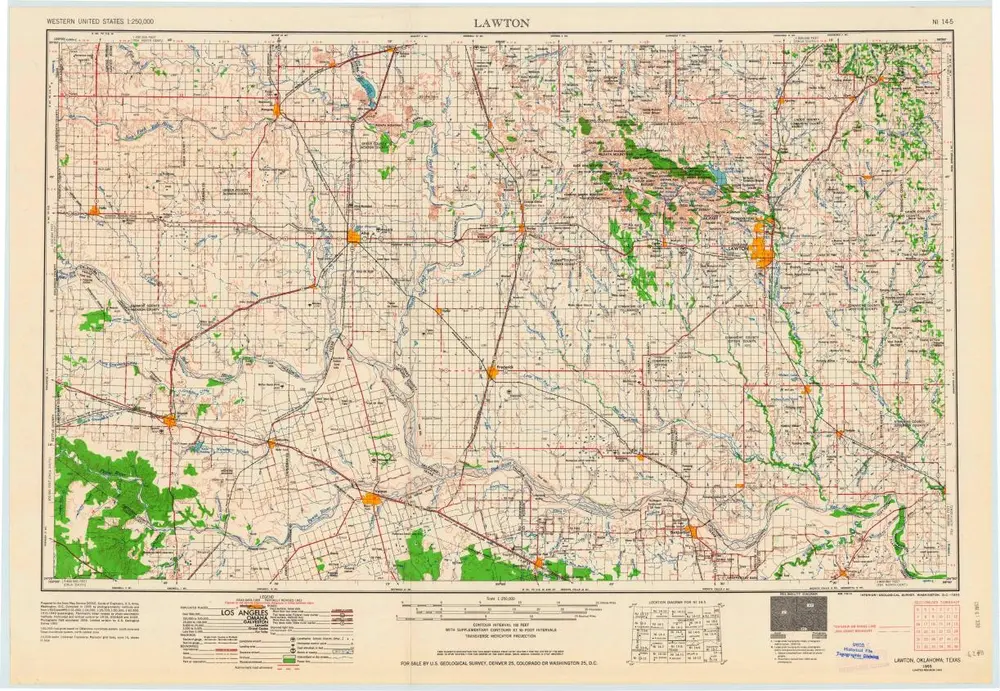
Lawton
1955
1:250k
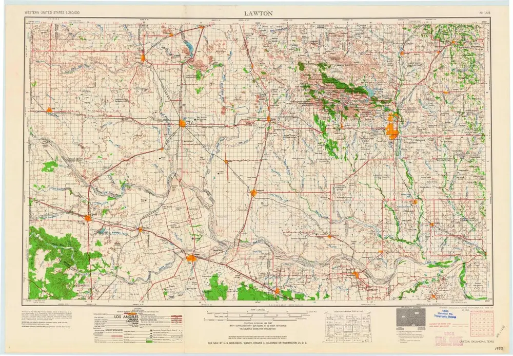
Lawton
1955
1:250k
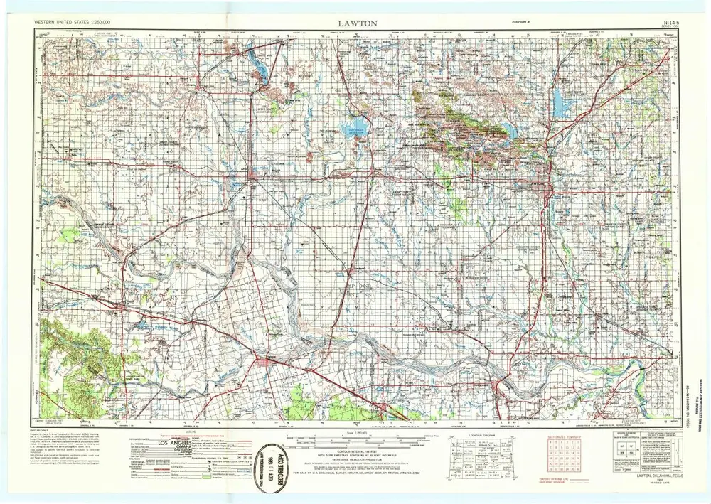
Lawton
1955
1:250k
Lawton
1955
1:250k
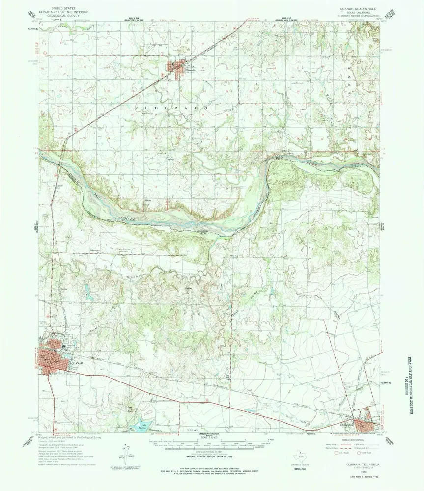
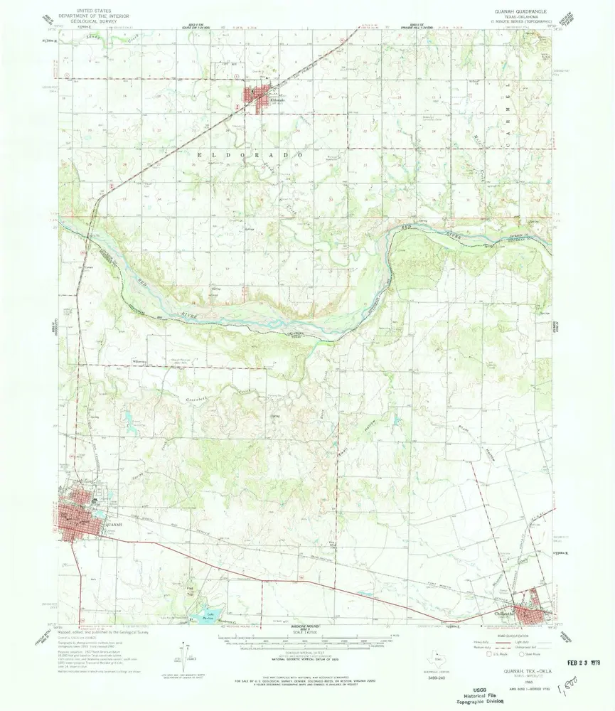
Quanah
1960
1:63k
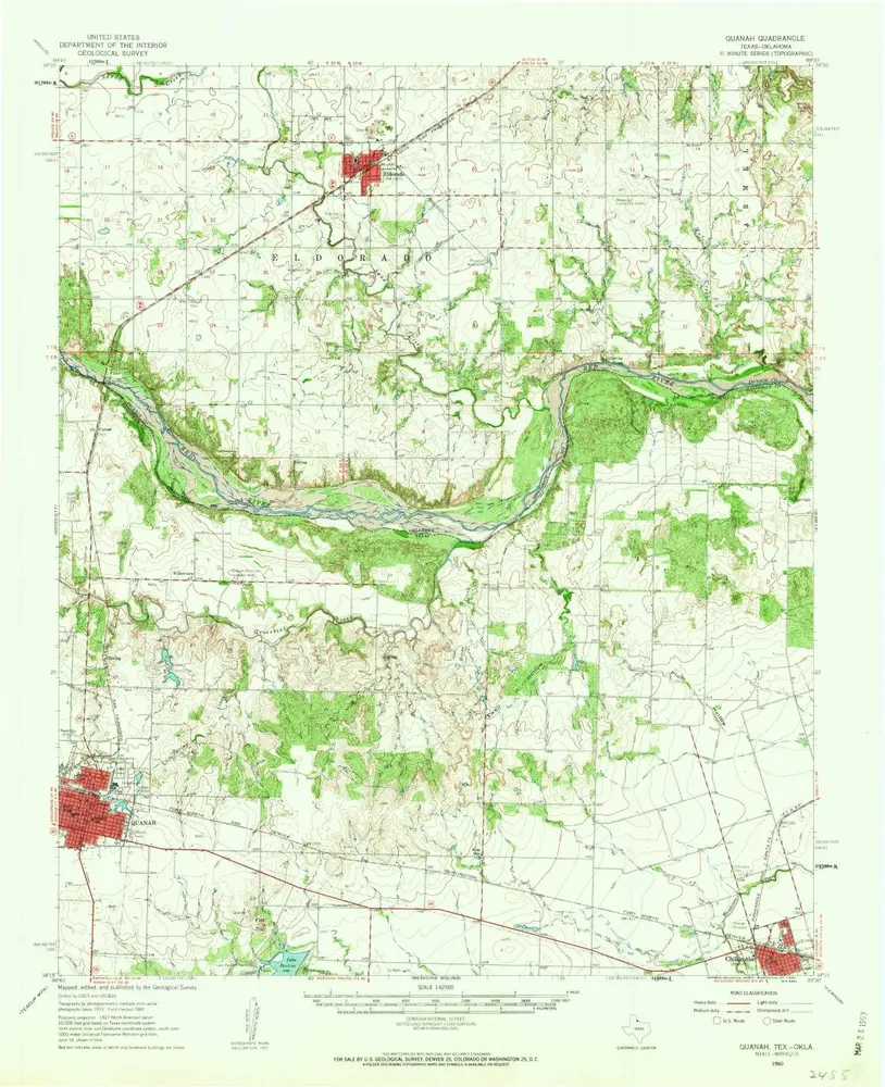
Quanah
1960
1:63k
Quanah
1960
1:63k
Ayers Island
1985
1:24k
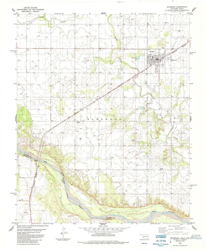
Eldorado
1984
1:24k
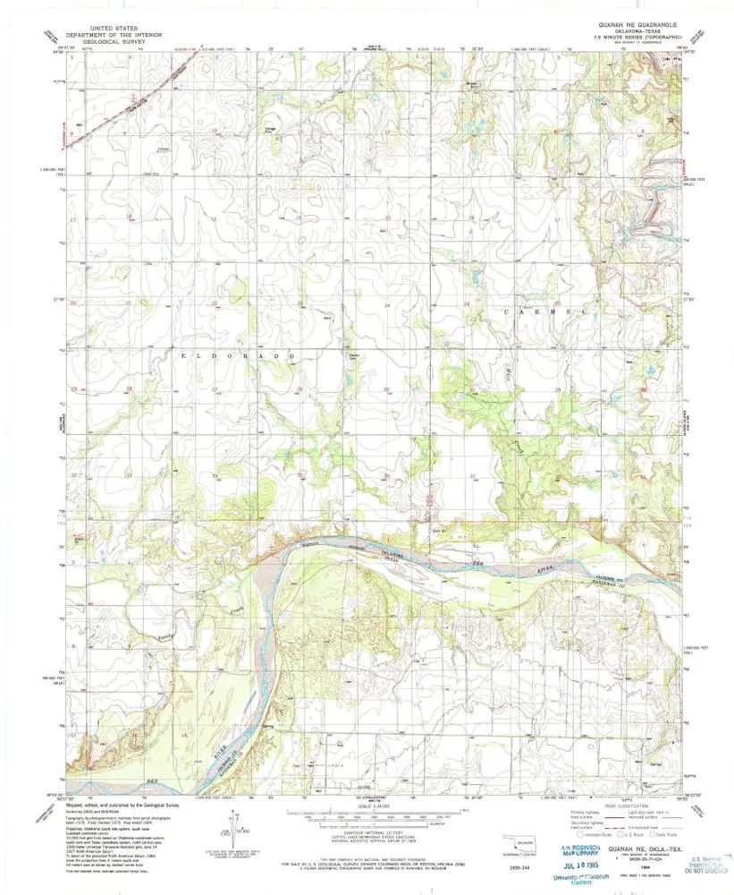
Quanah NE
1984
1:24k
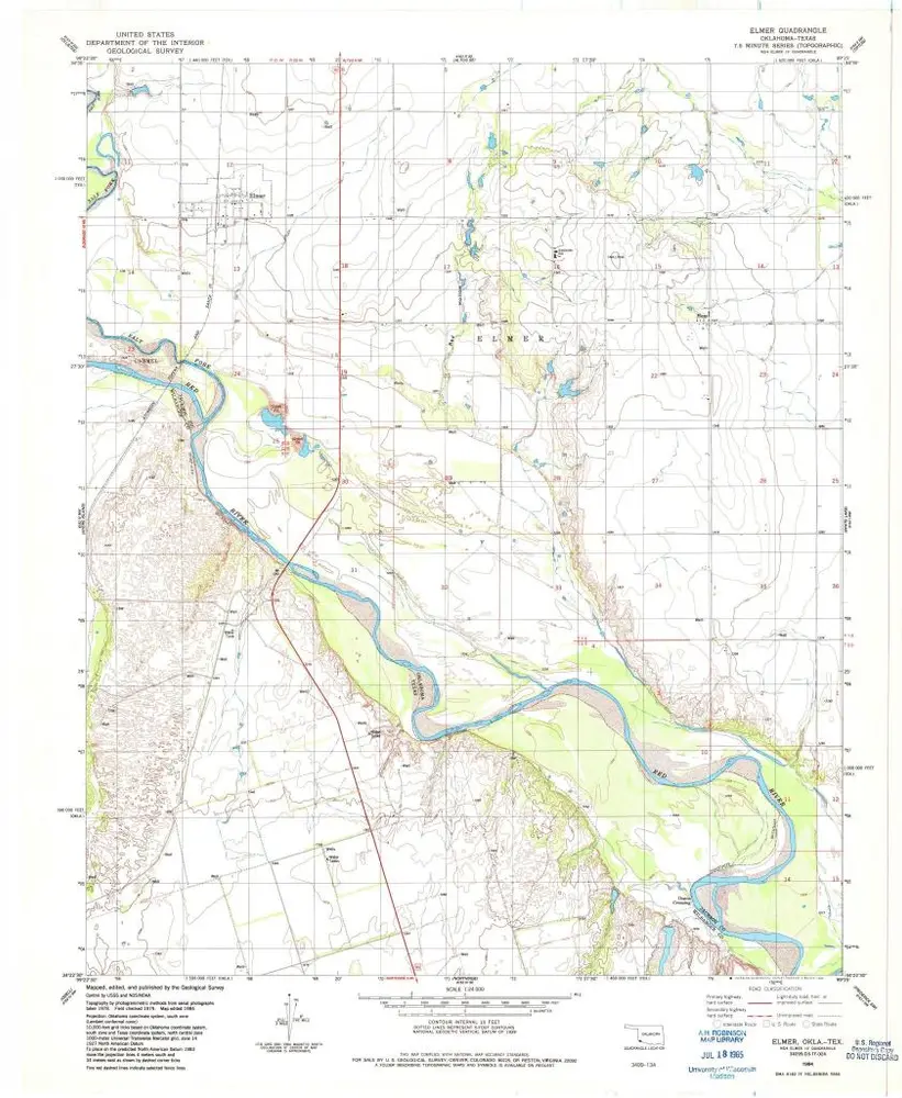
Elmer
1984
1:24k
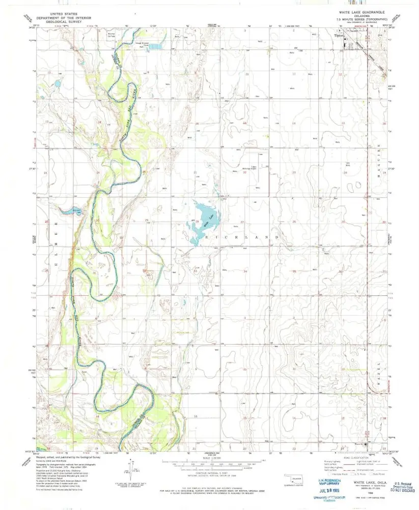
White Lake
1984
1:24k
Historia