3D

Llangollen
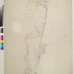
A triangulation diagram appears on the reverse of this drawing. This enabled draughtsmen to plot the exact location of topographical features. Mileage is indicated on major communication routes, accompanied by abbreviations of the town names from which distance has been measured. For example, the abbreviation 'MS L''2' indicates two miles from Llangollen. Archaeological sites are named in gothic script. A triangulation grid is faintly visible in the left hand portion of the drawing, and pencil lines radiate from trigonometrical stations, marked by dots within triangles.
The British LibraryDurrant, William R
1832

