المشروع
المجتمع
الأخبار
تطبيقي
خرائطي
Carte cataloguée
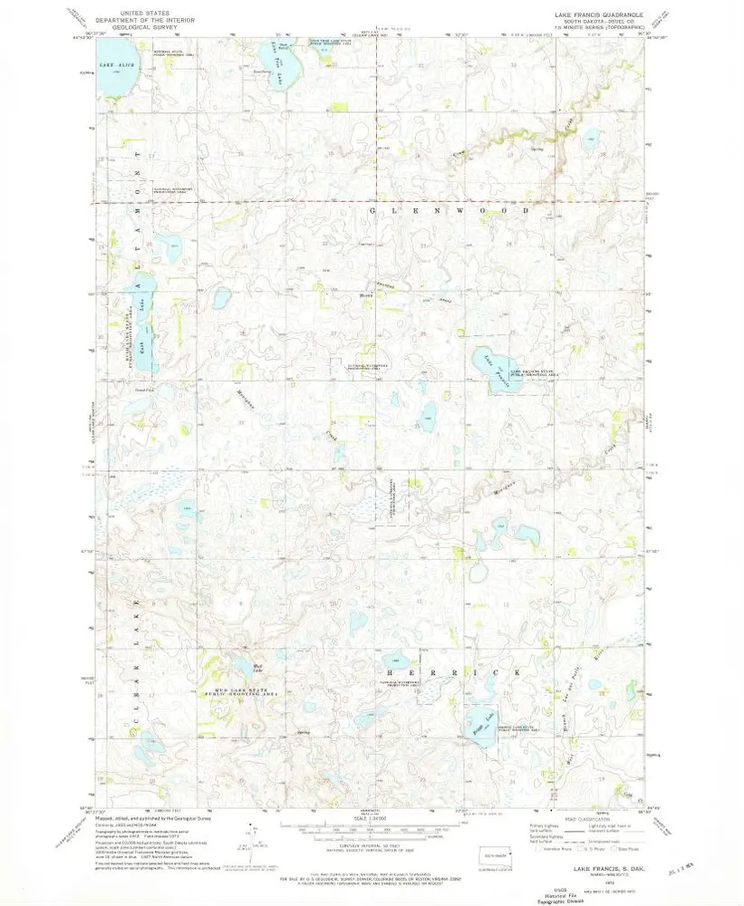
Lake Francis
عرض على موقع خارجي
Institution:
United States Geological Survey
Titre complet:
Lake Francis
Année de l'image:
1973
Date de publication:
1976
Échelle de la carte:
1:24 000
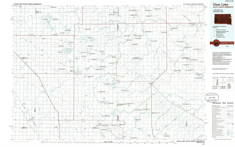
Clear Lake
1985
1:100k
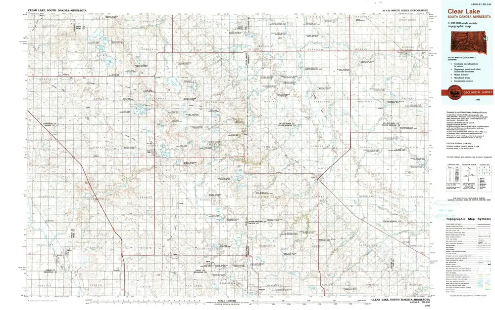
Clear Lake
1985
1:100k
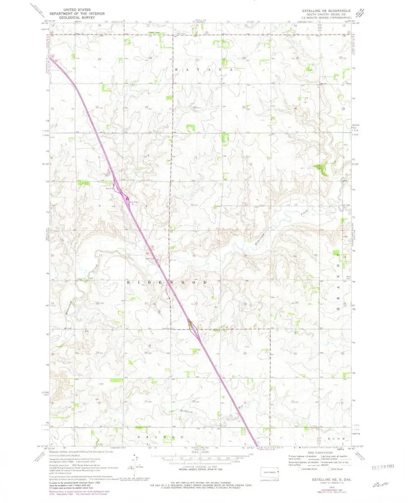
Estelline NE
1970
1:24k
Estelline NE
1970
1:24k
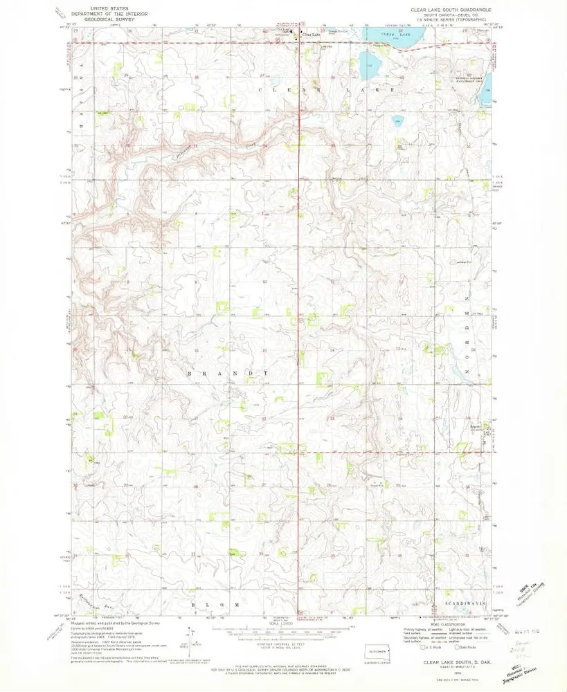
Clear Lake South
1970
1:24k
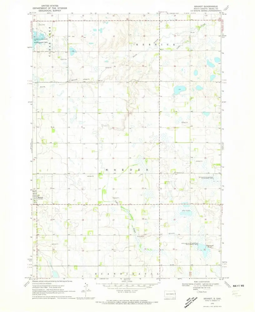
Brandt
1970
1:24k
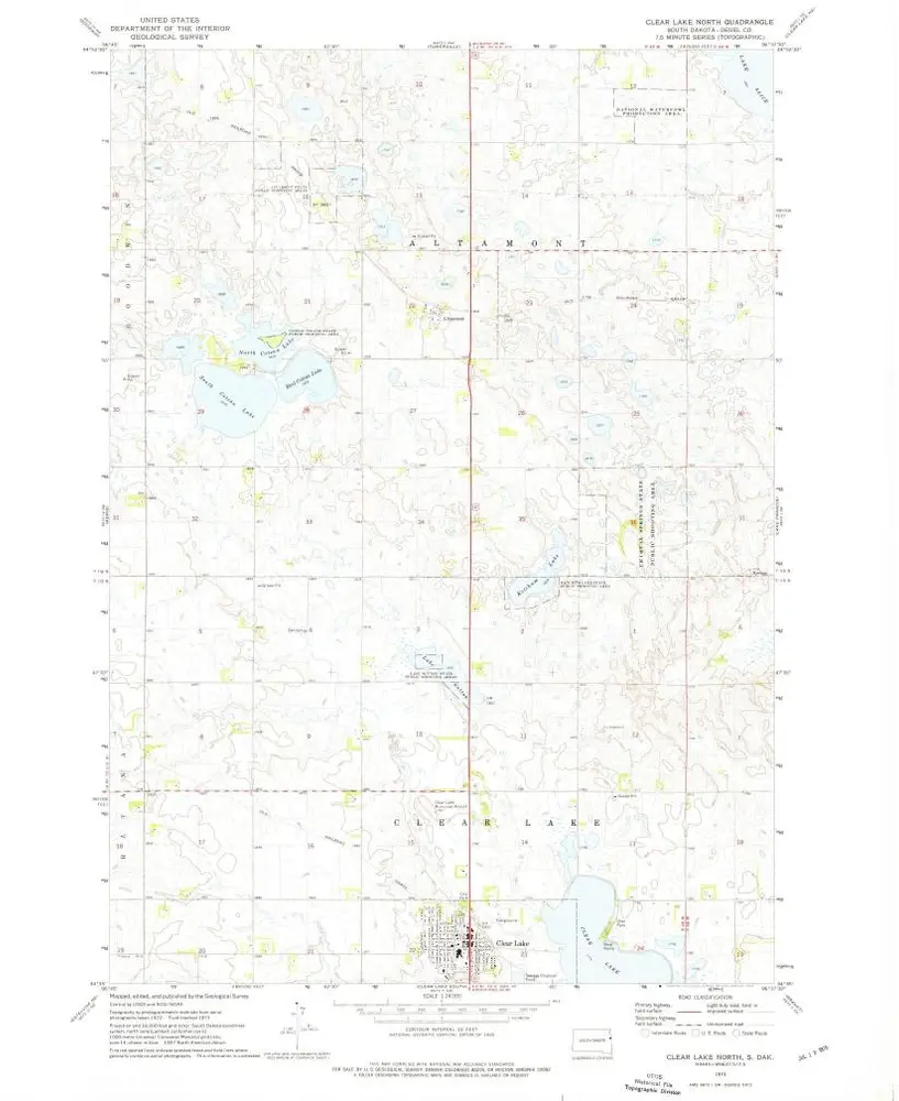
Clear Lake North
1973
1:24k
Lake Francis
1973
1:24k
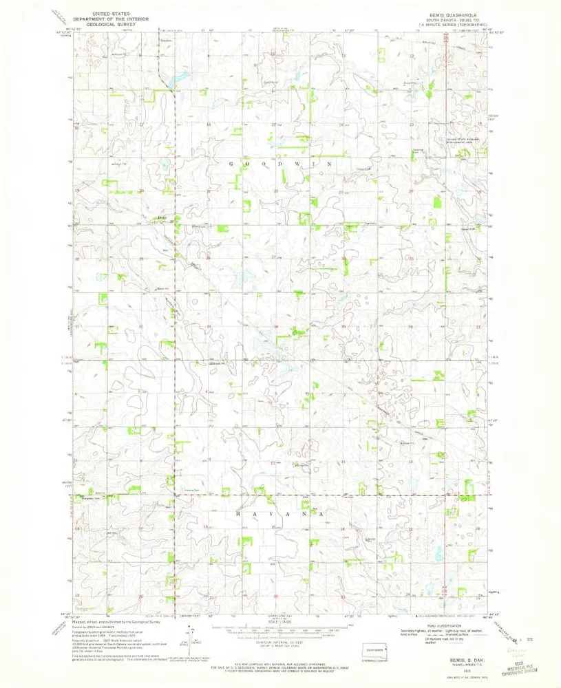
Bemis
1970
1:24k
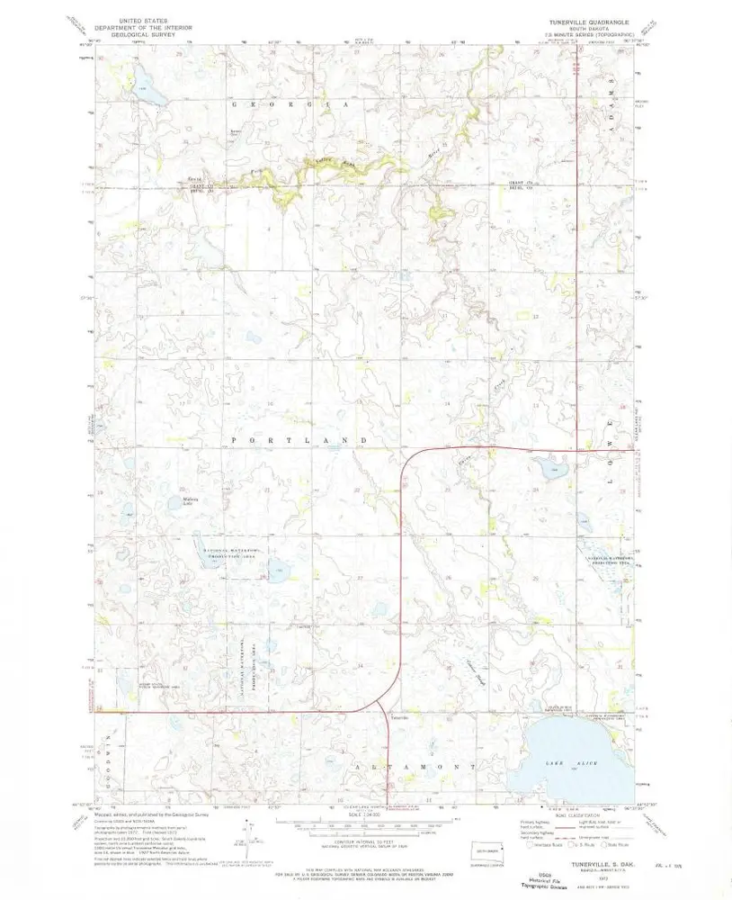
Tunerville
1973
1:24k
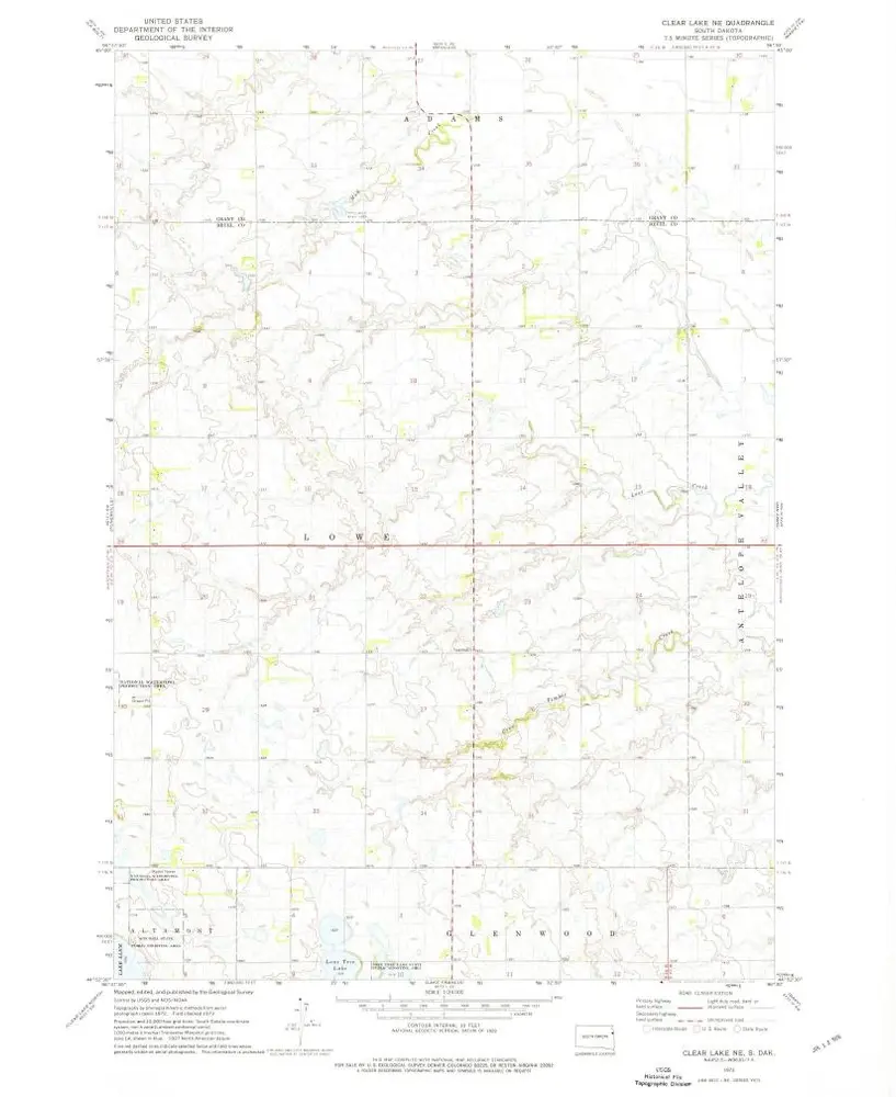
Clear Lake NE
1973
1:24k
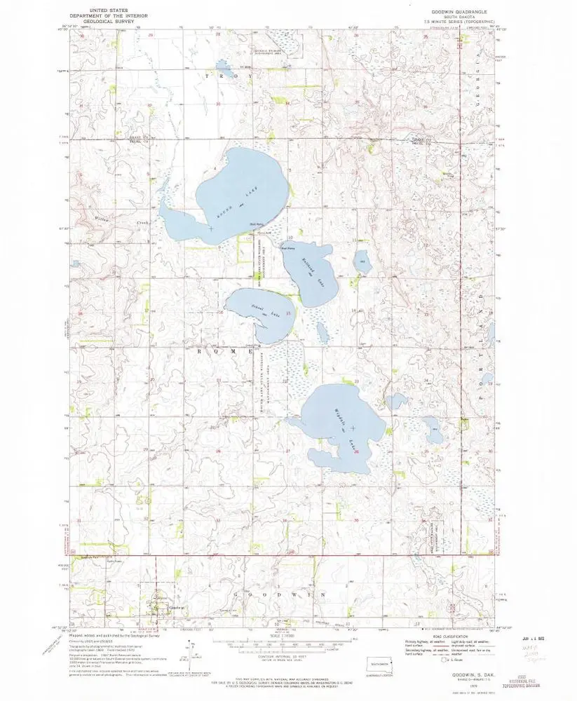
Goodwin
1970
1:24k
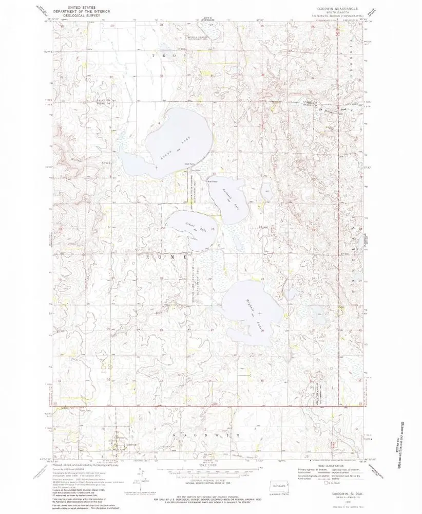
Goodwin
1970
1:24k
L'histoire