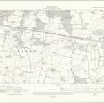
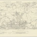
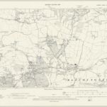
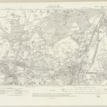
Skatalogowana mapa
Surrey XXVI.SE - OS Six-Inch Map

Instytucja:National Library of Scotland
Pełny tytuł:Surrey XXVI.SE - OS Six-Inch Map
Rok ilustracji:1911
Data publikacji:1920
Wydawca:Ordnance Survey
Skala mapy:1:10 560
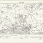
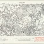
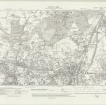
Surrey XXXV.NW - OS Six-Inch Map
1911
Ordnance Survey
1:11k
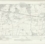
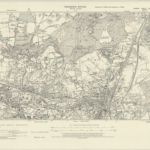
Surrey XXXV.NW - OS Six-Inch Map
1911
Ordnance Survey
1:11k
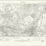
Surrey XXXV.NW - OS Six-Inch Map
1911
Ordnance Survey
1:11k
Surrey XXXV.NW - OS Six-Inch Map
1895
Ordnance Survey
1:11k
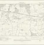
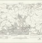
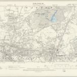
Surrey XXVII.SW - OS Six-Inch Map
1938
Ordnance Survey
1:11k
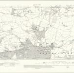
Surrey XXVII.SW - OS Six-Inch Map
1934
Ordnance Survey
1:11k
Surrey XXVII.SW - OS Six-Inch Map
1934
Ordnance Survey
1:11k
Surrey XXVII.SW - OS Six-Inch Map
1910
Ordnance Survey
1:11k
Surrey XXVII.SW - OS Six-Inch Map
1895
Ordnance Survey
1:11k
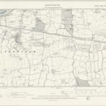
Surrey XXVI.SE - OS Six-Inch Map
1938
Ordnance Survey
1:11k
Surrey XXVI.SE - OS Six-Inch Map
1938
Ordnance Survey
1:11k
Surrey XXVI.SE - OS Six-Inch Map
1933
Ordnance Survey
1:11k
Surrey XXVI.SE - OS Six-Inch Map
1911
Ordnance Survey
1:11k
Surrey XXVI.SE - OS Six-Inch Map
1911
Ordnance Survey
1:11k
Surrey XXVI.SE - OS Six-Inch Map
1895
Ordnance Survey
1:11k