المشروع
المجتمع
الأخبار
تطبيقي
خرائطي
Katalogisierte Karte
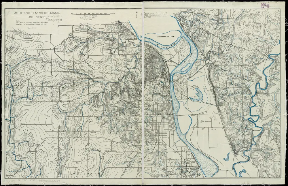
Map of Fort Leavenworth, Kansas and vicinity
عرض على موقع خارجي
عرض رقمي
Einrichtung:
community
Vollständiger Titel:
Map of Fort Leavenworth, Kansas and vicinity
Jahr der Abbildung:
1909
Herausgeber:
General Service Schools (U.S.)
Maßstab der Karte:
1:31 680
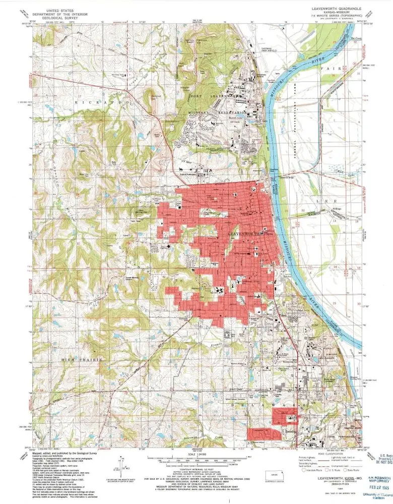
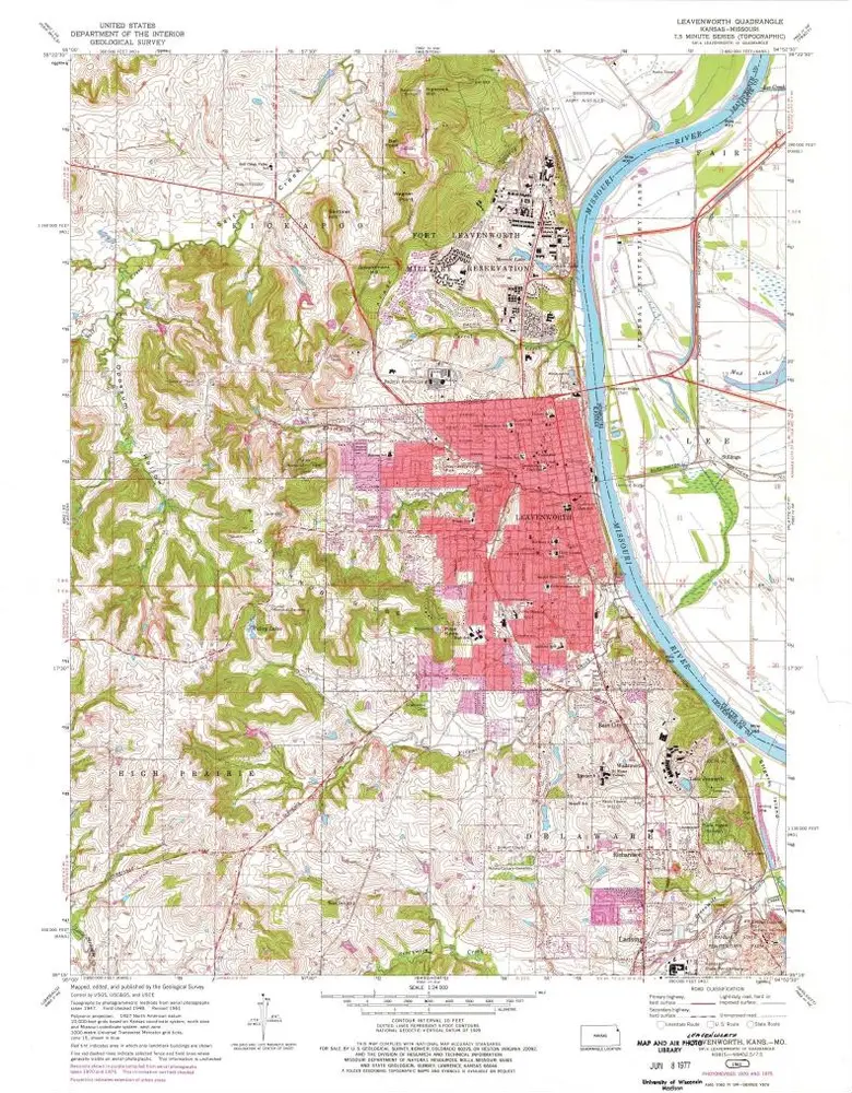
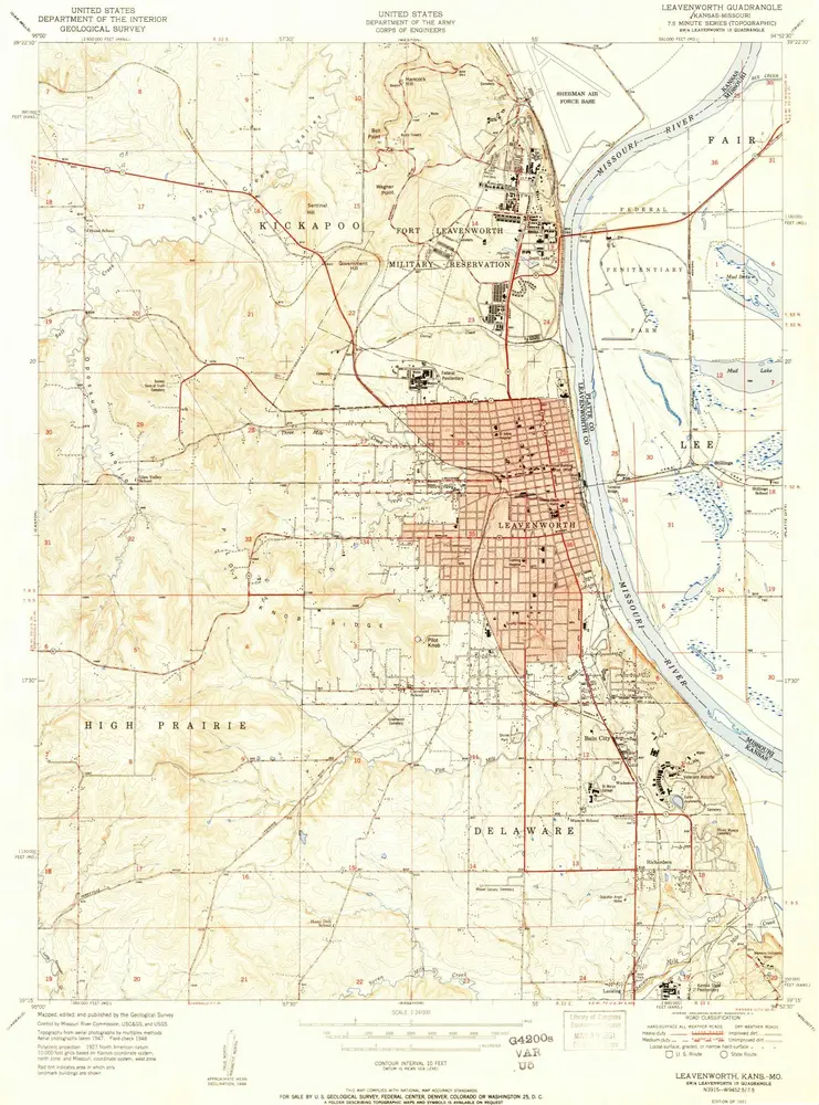
Leavenworth
1984
1:24k
Leavenworth
1984
1:24k
Leavenworth
1984
1:24k
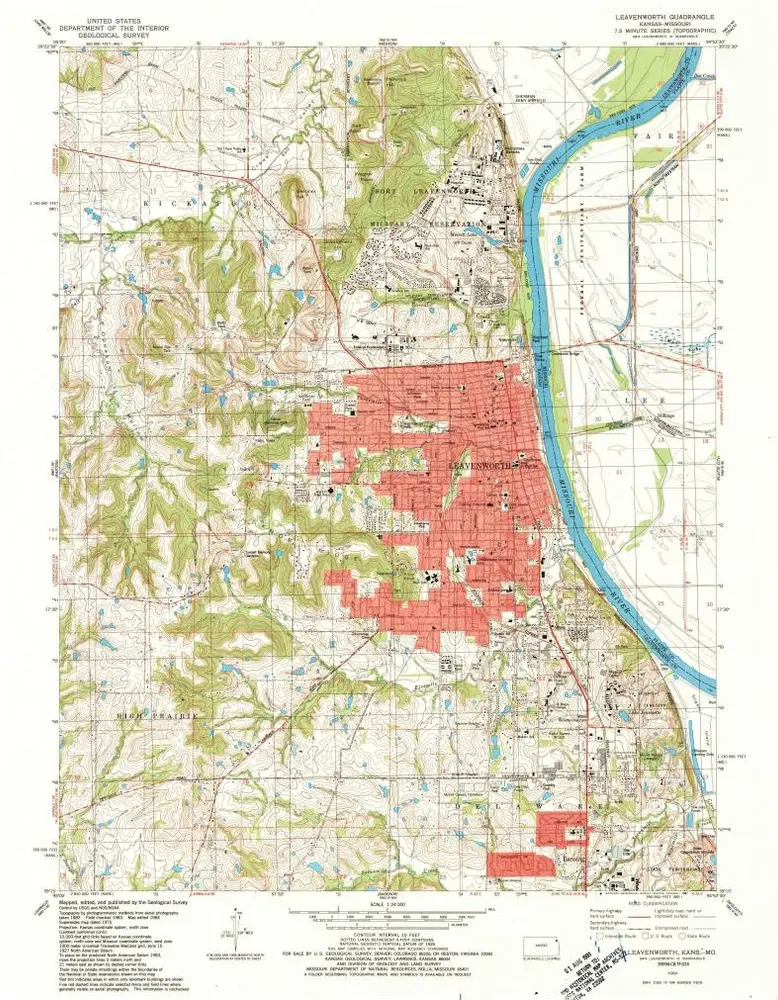
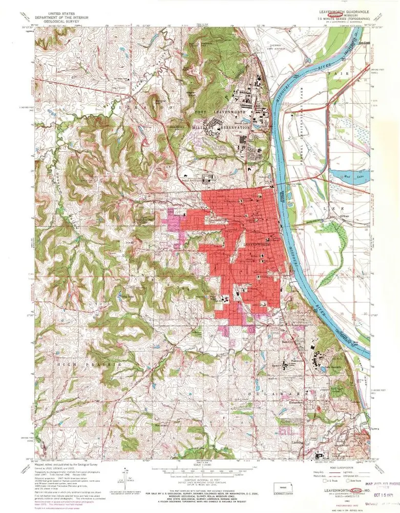
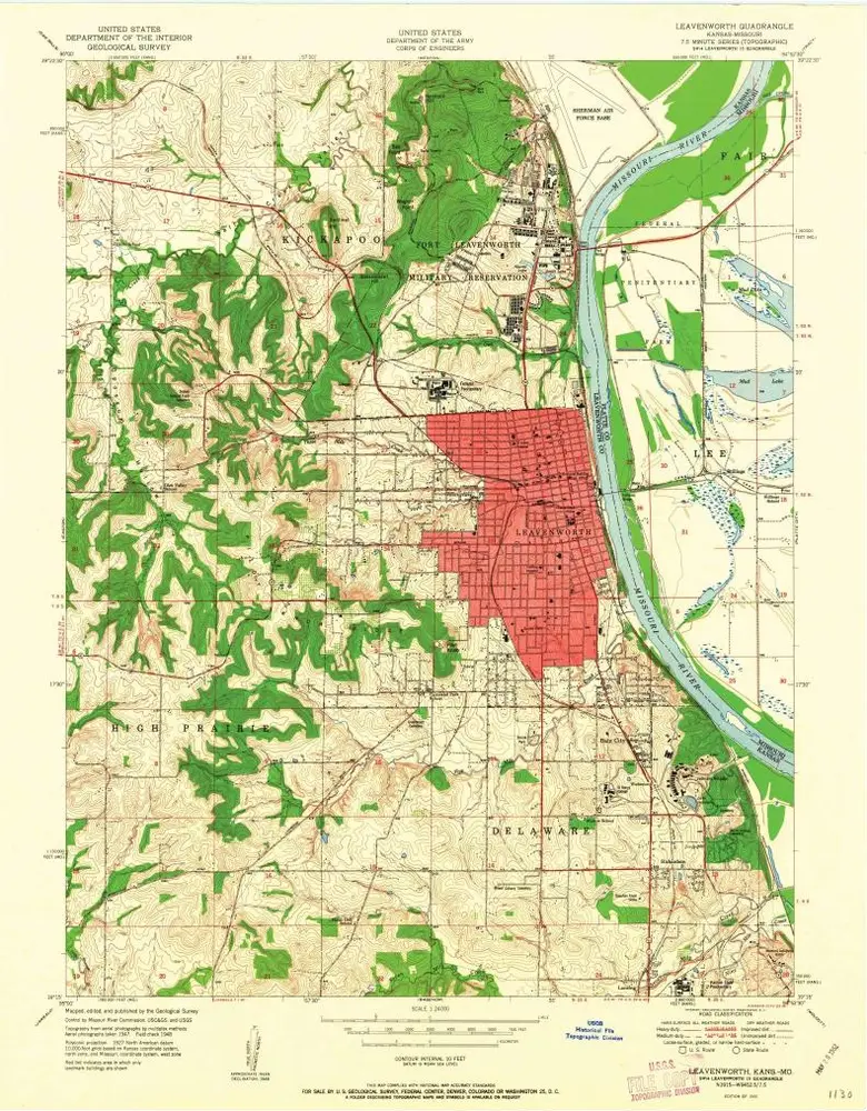
Leavenworth
1961
1:24k
Leavenworth
1961
1:24k
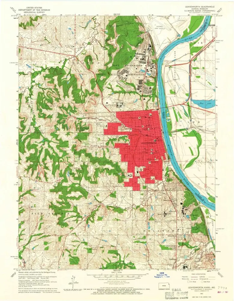
Leavenworth
1961
1:24k
Leavenworth
1961
1:24k
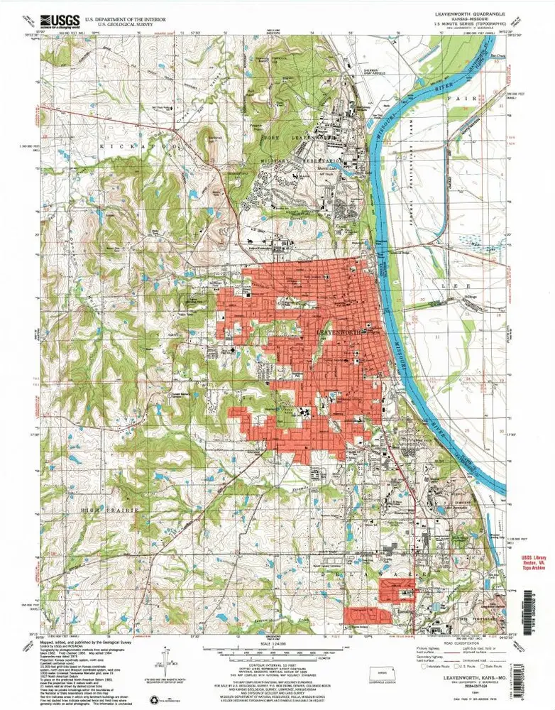
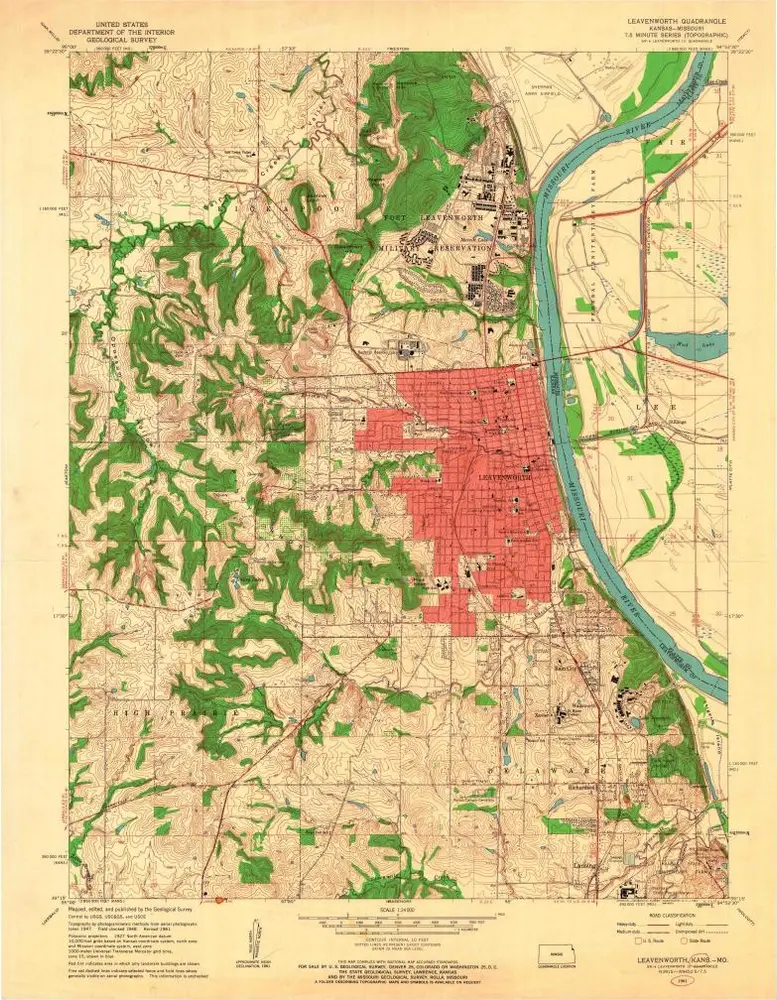
Leavenworth
1951
1:24k
Leavenworth
1951
1:24k
Map of Fort Leavenworth, Kansas and vicinity
1909
General Service Schools (U.S.)
1:32k
Geschichte