编目地图

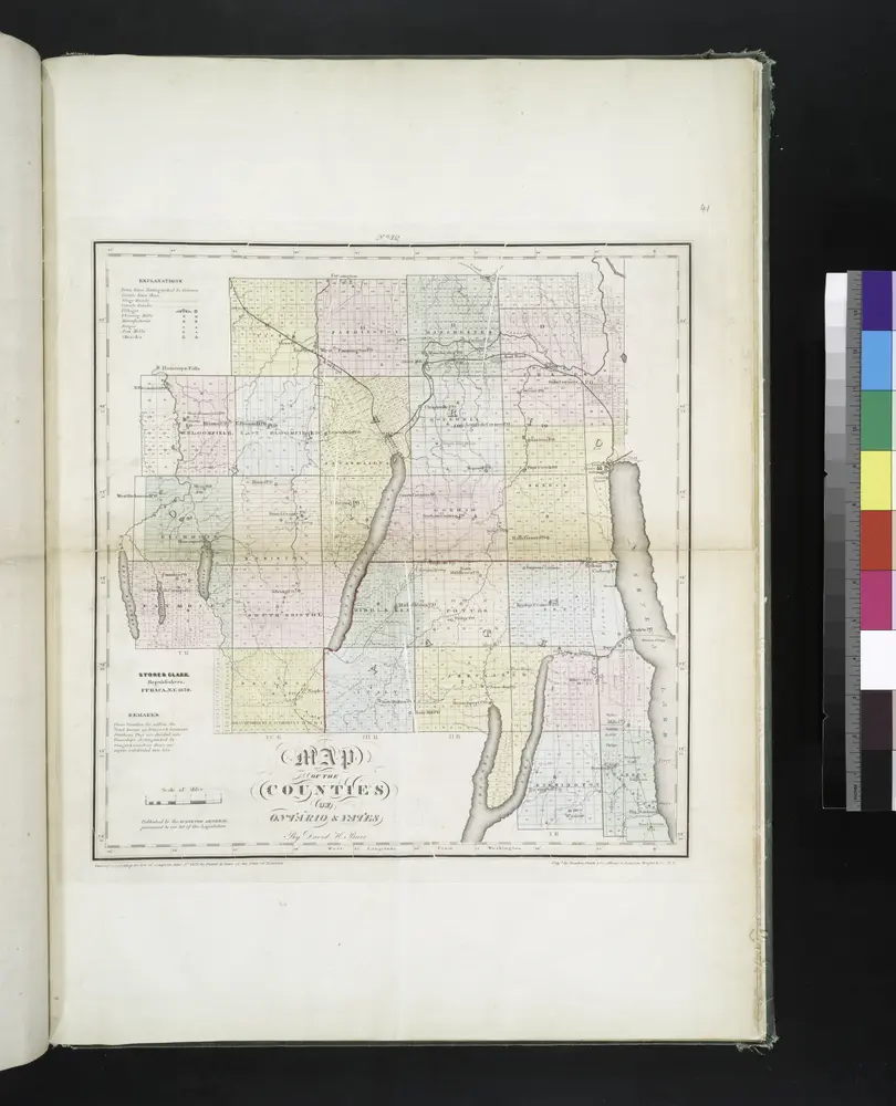
Map of the counties of Ontario & Yates / by David H. Burr ; engd. by Rawdon, Clark & Co., Albany, & Rawdon, Wright & Co., N.Y.
1829
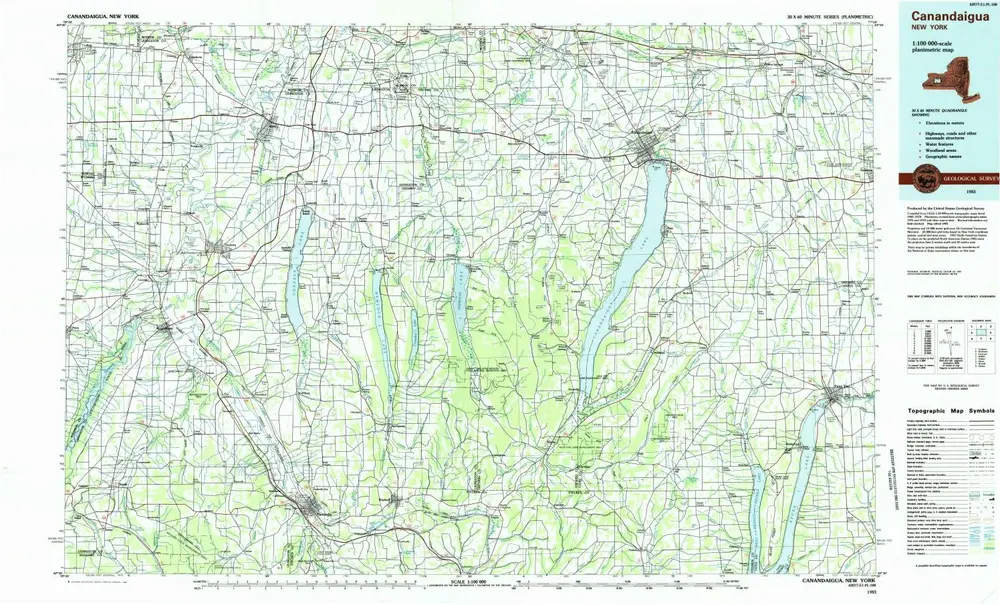
Canandaigua
1983
1:100k
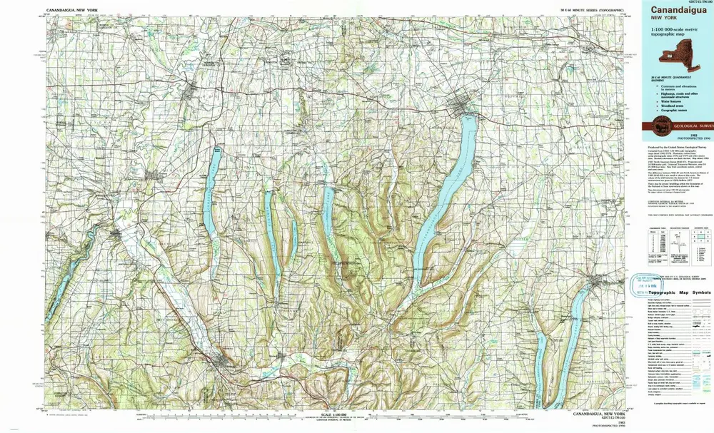
Canandaigua
1983
1:100k
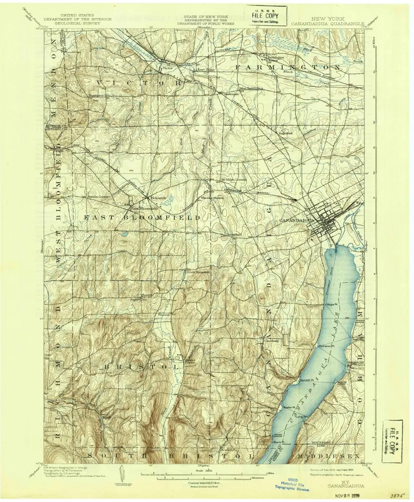
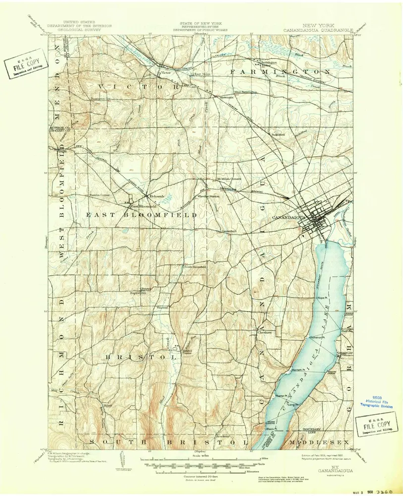
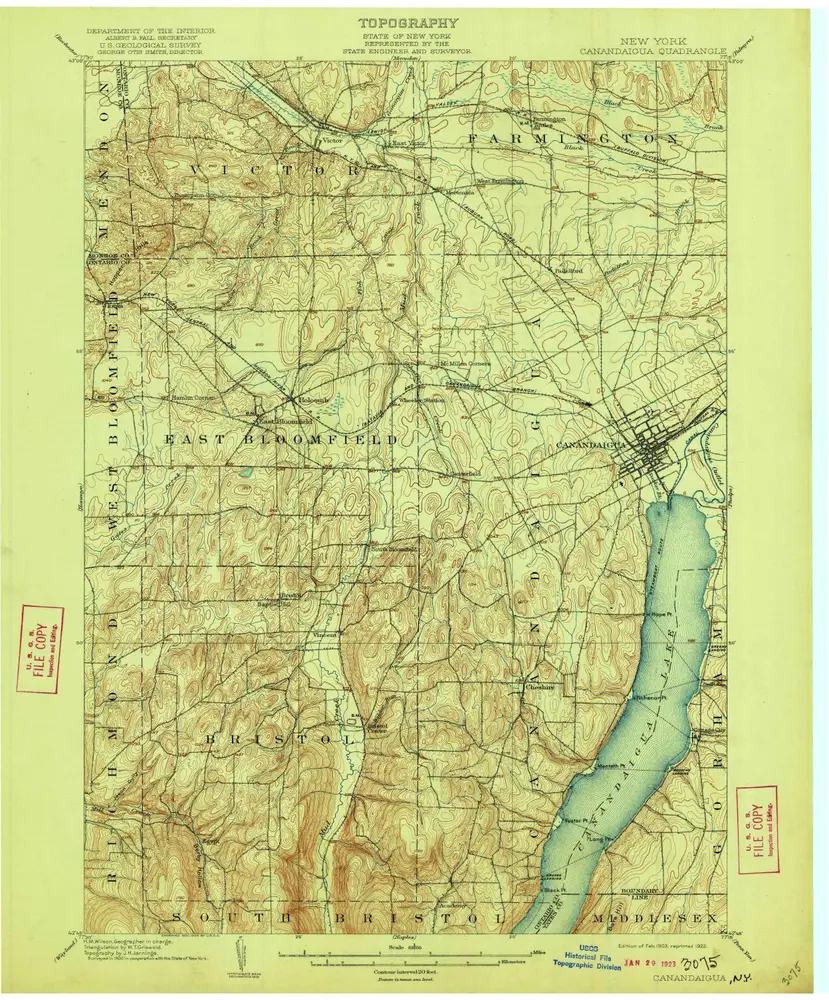
Canandaigua
1903
1:63k
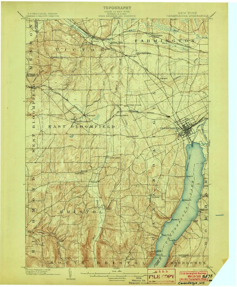
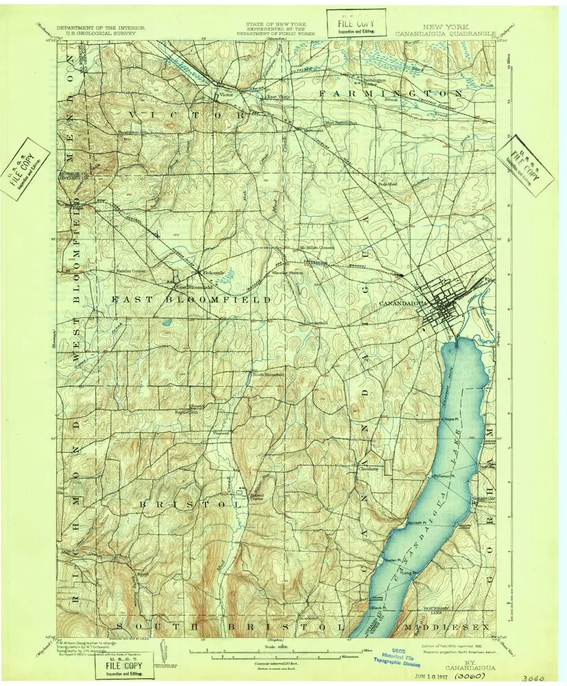
Canandaigua
1903
1:63k
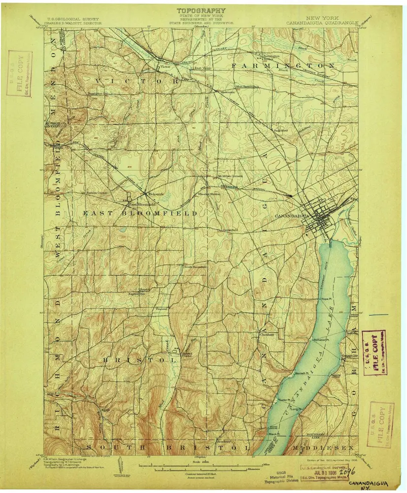
Canandaigua
1903
1:63k
Canandaigua
1903
1:63k
Canandaigua
1903
1:63k
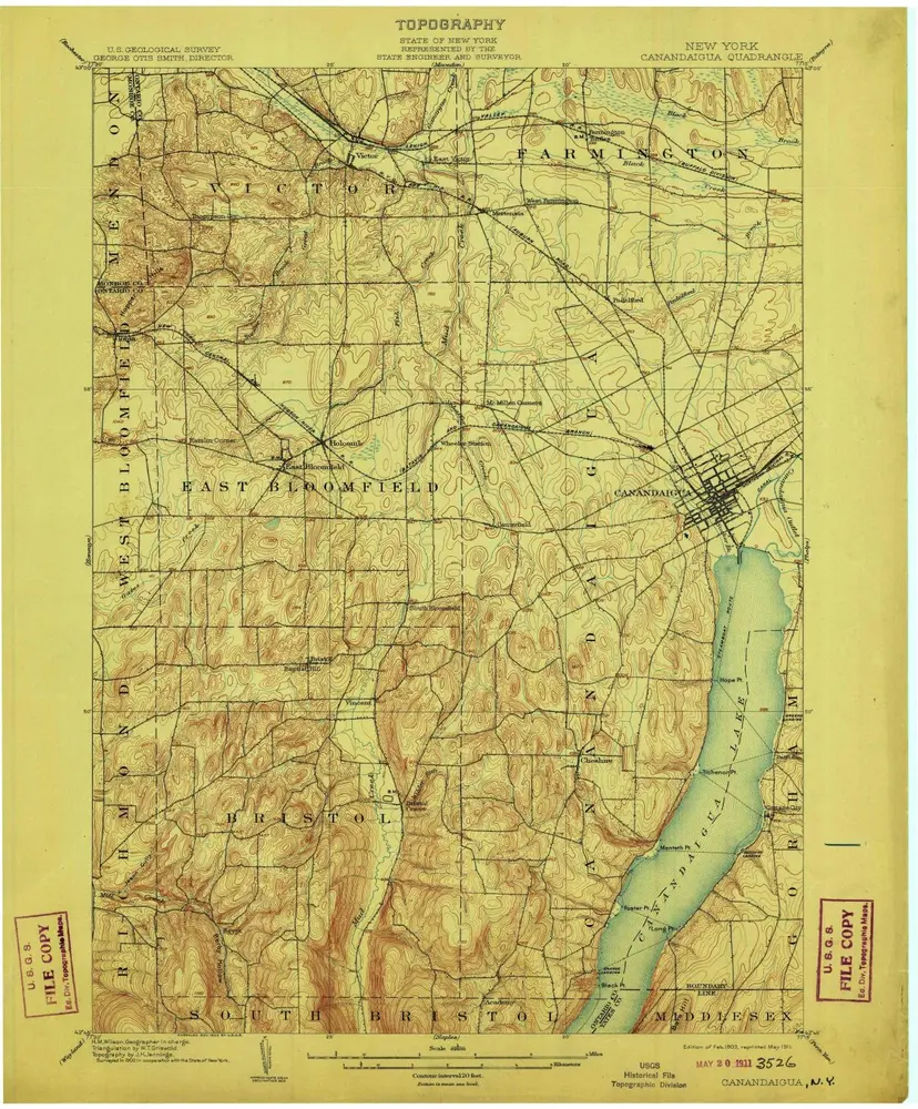
Canandaigua
1903
1:63k
Canandaigua
1903
1:63k
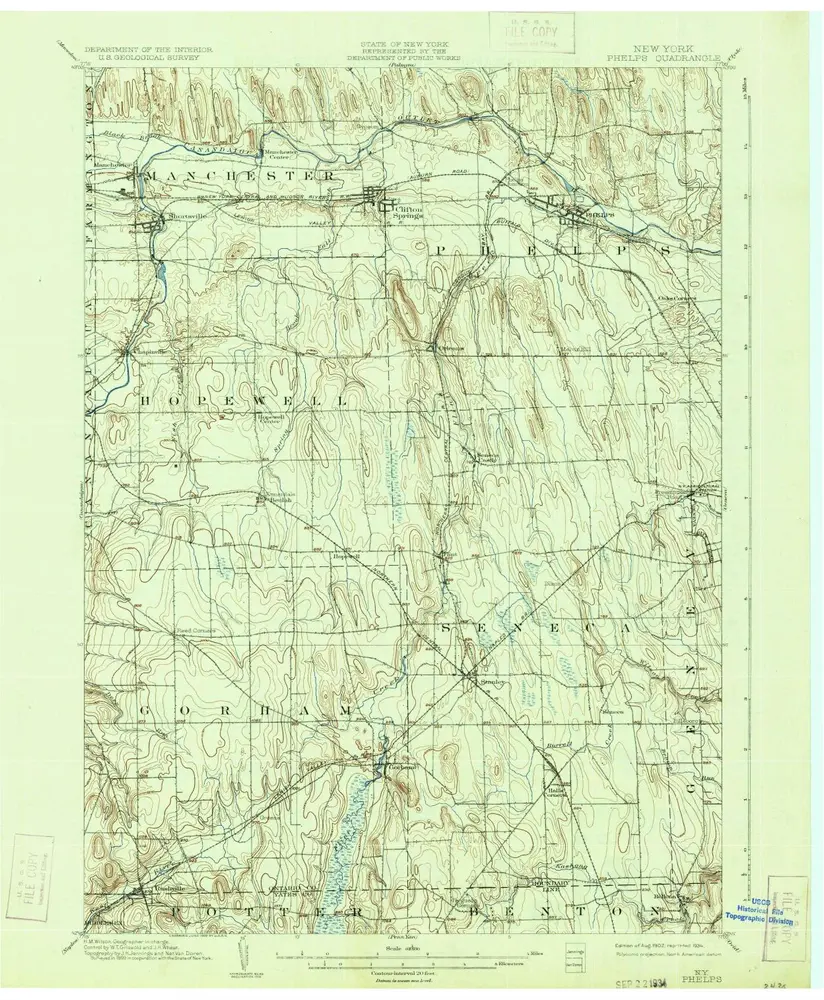
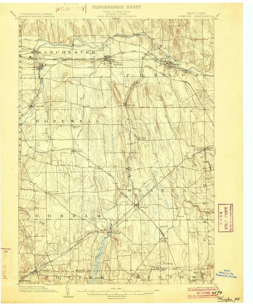
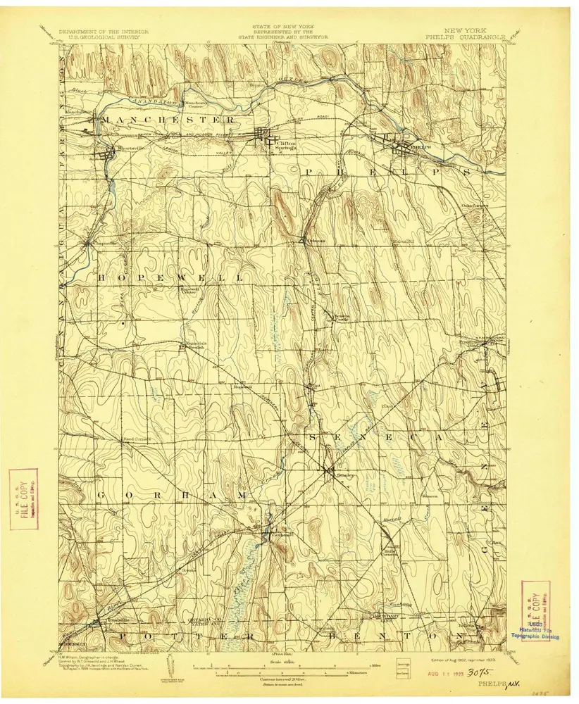
Phelps
1902
1:63k
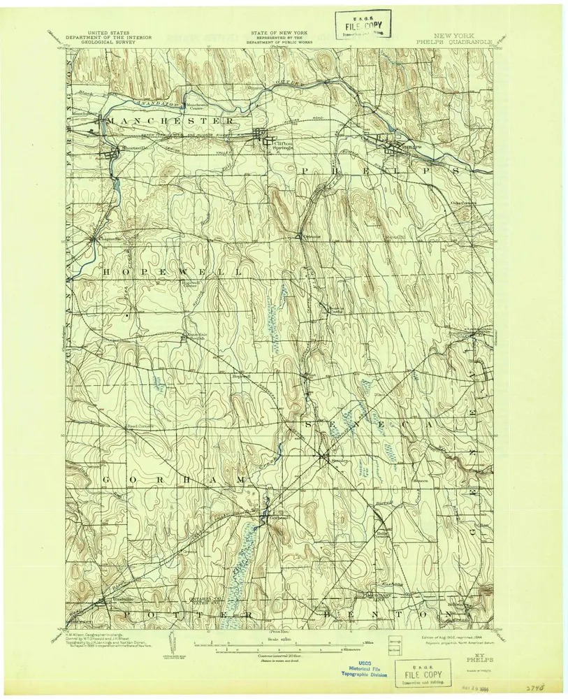
Phelps
1902
1:63k
Phelps
1902
1:63k
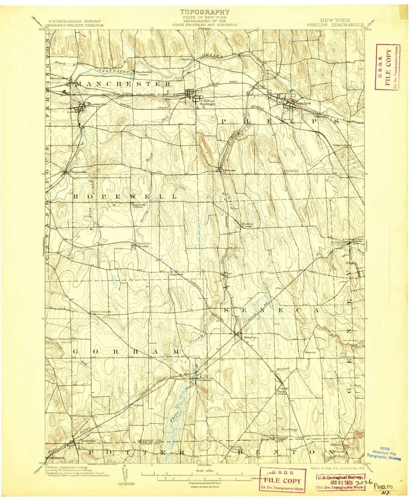
Phelps
1902
1:63k
Phelps
1902
1:63k
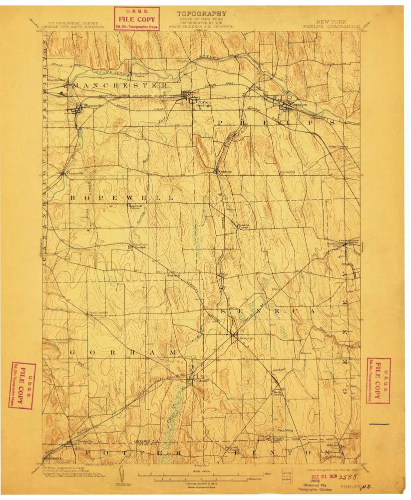
Phelps
1902
1:63k
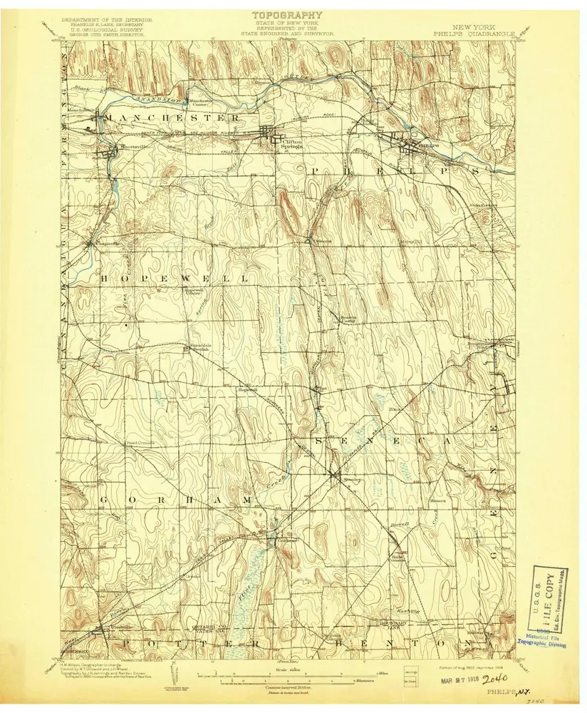
Phelps
1902
1:63k
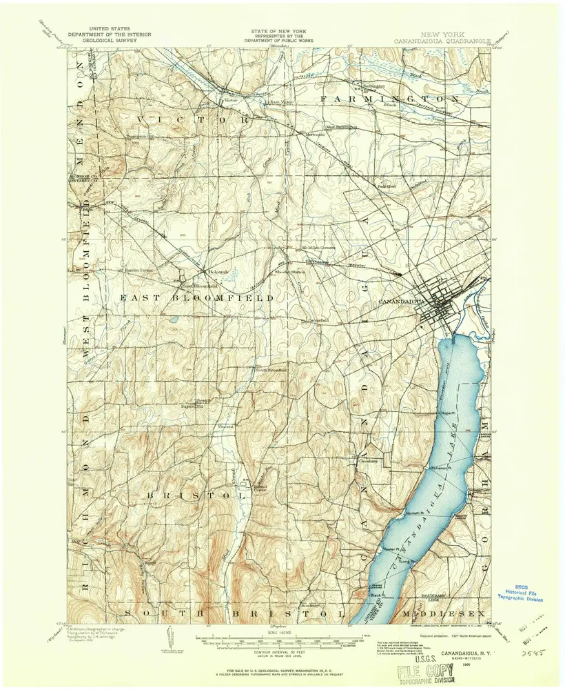
Canandaigua
1900
1:63k