المشروع
المجتمع
الأخبار
تطبيقي
خرائطي
Katalogisierte Karte
Broad Bottom
عرض على موقع خارجي
عرض رقمي
Einrichtung:
United States Geological Survey
Vollständiger Titel:
Broad Bottom
Jahr der Abbildung:
1954
Veröffentlichungsdatum:
1955
Maßstab der Karte:
1:24 000
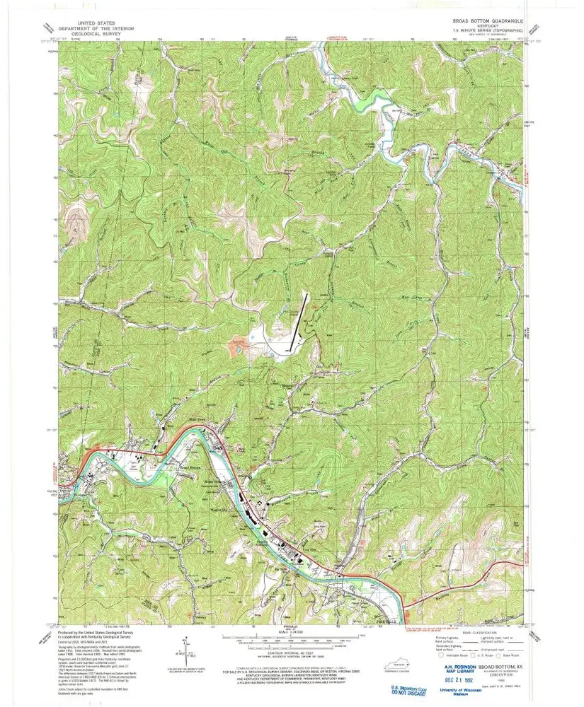
Broad Bottom
1992
1:24k
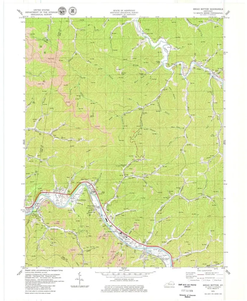
Broad Bottom
1979
1:24k
Broad Bottom
1954
1:24k
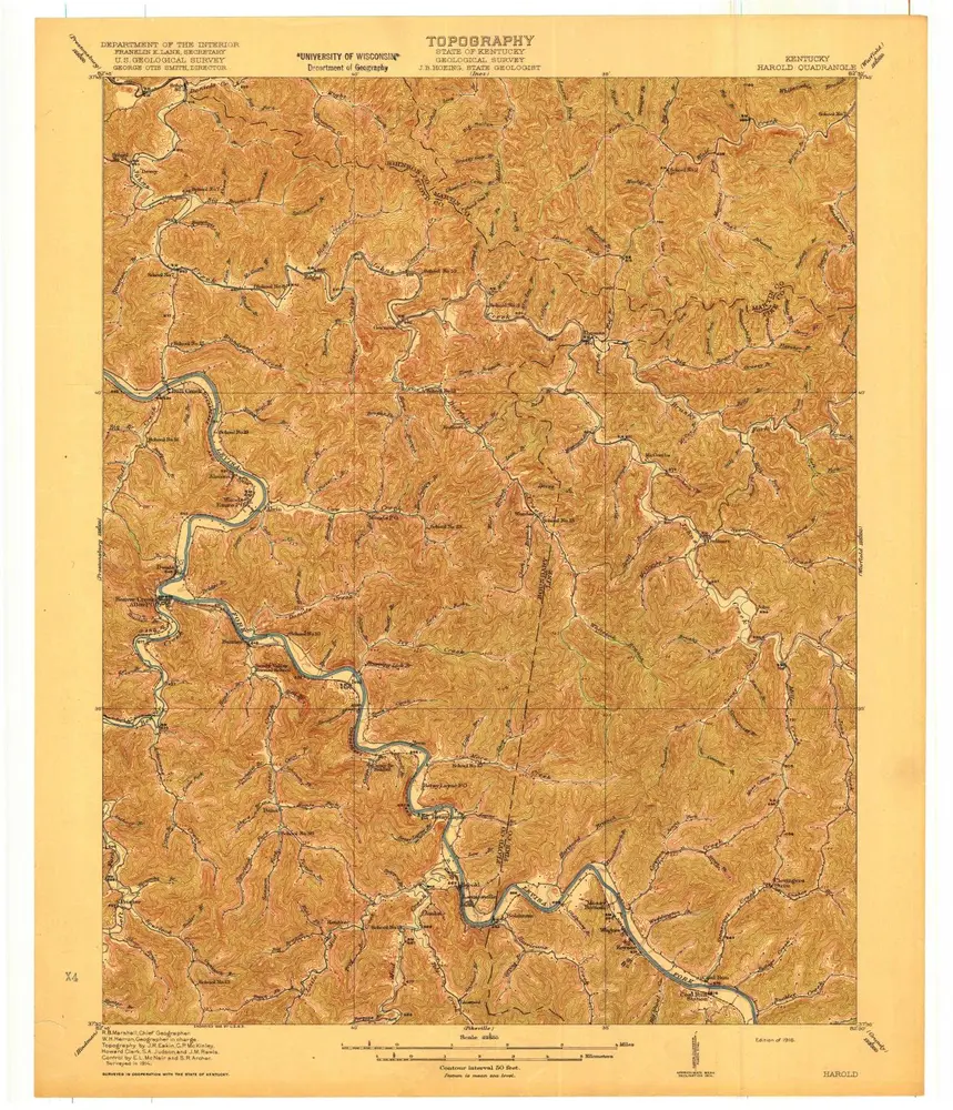
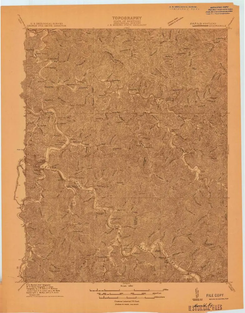
Harold
1916
1:63k
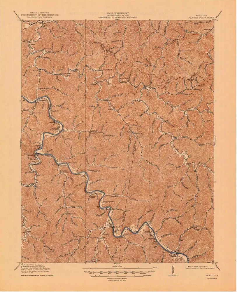
Harold
1916
1:63k
Harold
1916
1:63k
Laynesville
1914
1:48k
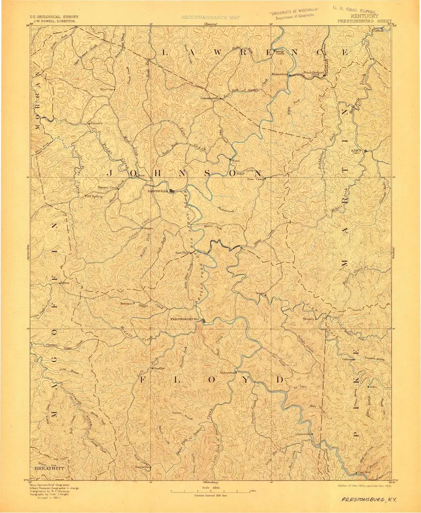
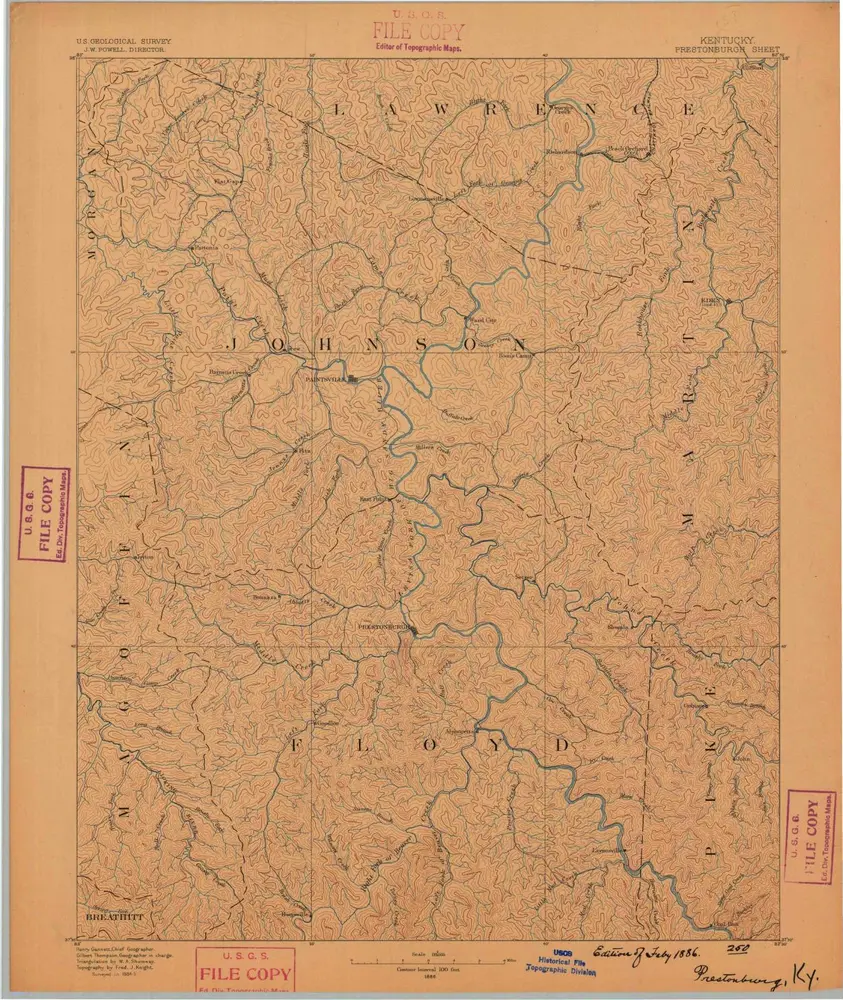
Prestonsburg
1892
1:125k
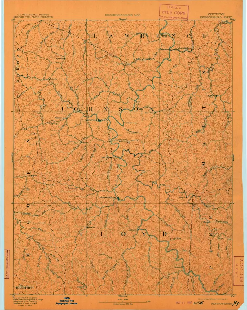
Prestonsburg
1892
1:125k
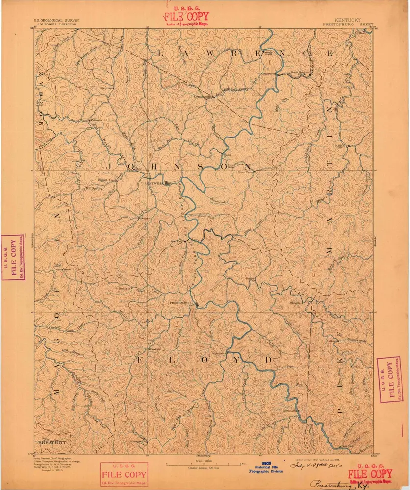
Prestonsburg
1892
1:125k
Prestonsburg
1892
1:125k
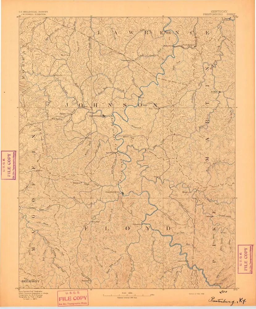
Prestonsburg
1886
1:125k
Geschichte