المستند

Wallingford
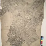
This drawing covers part of the Thames Valley in the counties of Buckinghamshire, Berkshire and Oxfordshire. The plan is oriented to the east, with a compass depicted at middle right. Symbols distinguish woodland, heathland, arable enclosed land and formal parkland. Brushstroke interlining indicates relief and hills. The River Thames is depicted in the lower part of the sheet, meandering through Oxfordshire between Oxford and Wallingford.
The British Library1811
1811

