

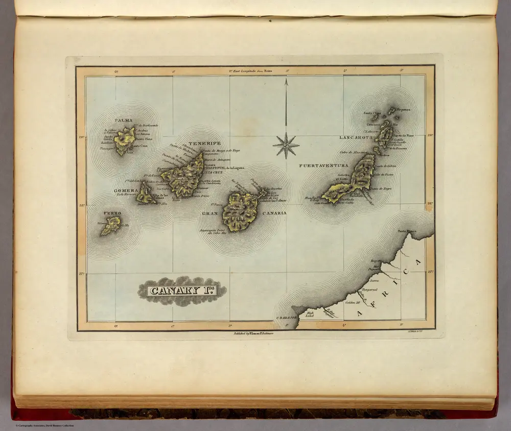
Canary Ids.
1823
Lucas, Fielding Jr.
1:2m
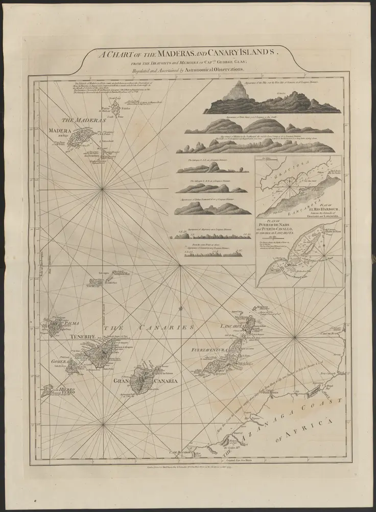
A chart of the Maderas and Canary Islands
1775
Thomas Jefferys (-1771)
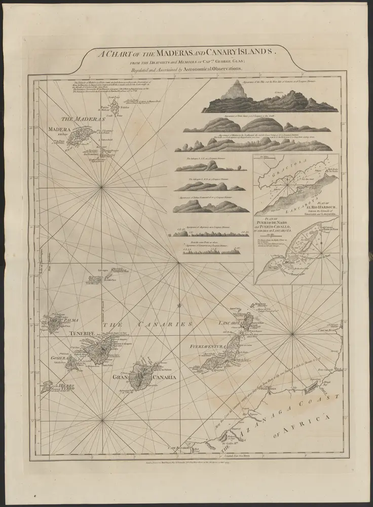
Plan of Puerto de Naos and Puerto Cavallo [inset]
1775
Thomas Jefferys (-1771)
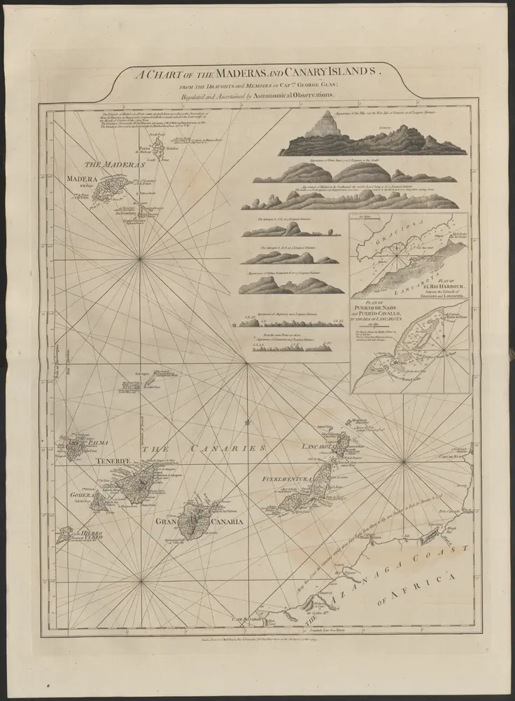
Plan of El Rio Harbour [inset]
1775
Thomas Jefferys (-1771)
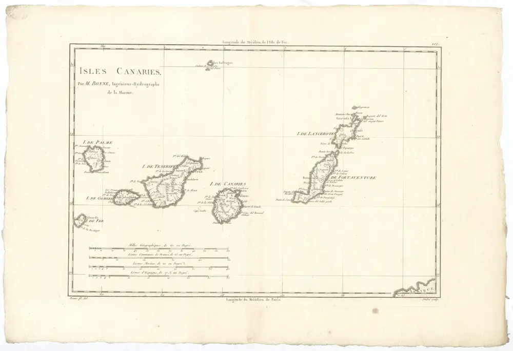
Isles Canaries
1787
Bonne, Rigobert
1:2m
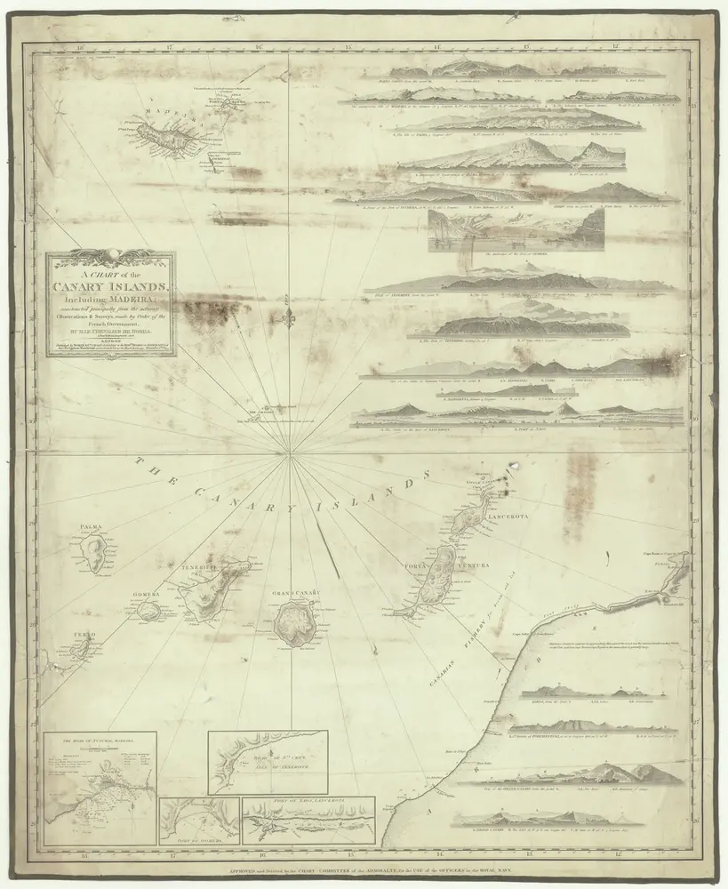
A chart of the Canary islands, including Madeira
1828
Borda, Jean-Charles de
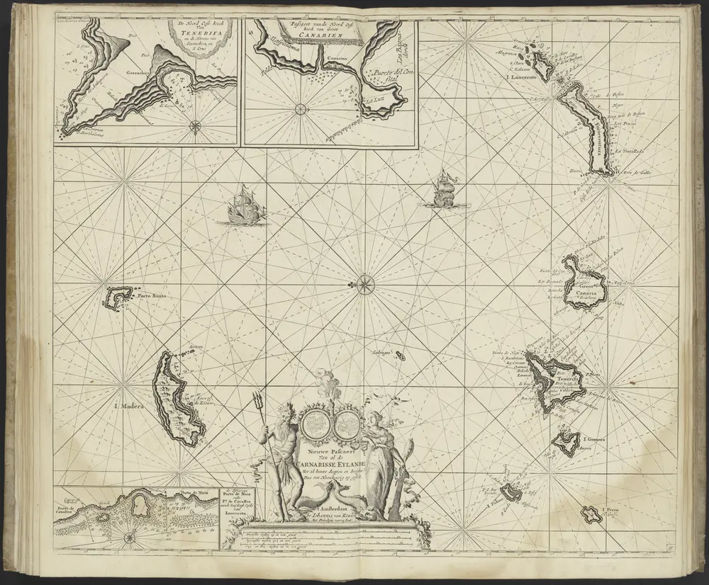
De Nieuwe Groote Ligtende Zee-Fakkel, 't Vyfde Deel. ... (etc.), uitgegeven door Johannes van Keulen.
1749
Johannes van Keulen
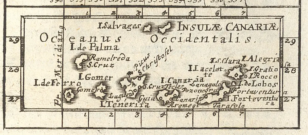
[Insulas Canarias oder Fortunatas] [Karte], in: Neu-aussgefertigter Kleiner Atlas, In Zweyen Theilen, S. 210.
1702
Müller, Johann Ulrich
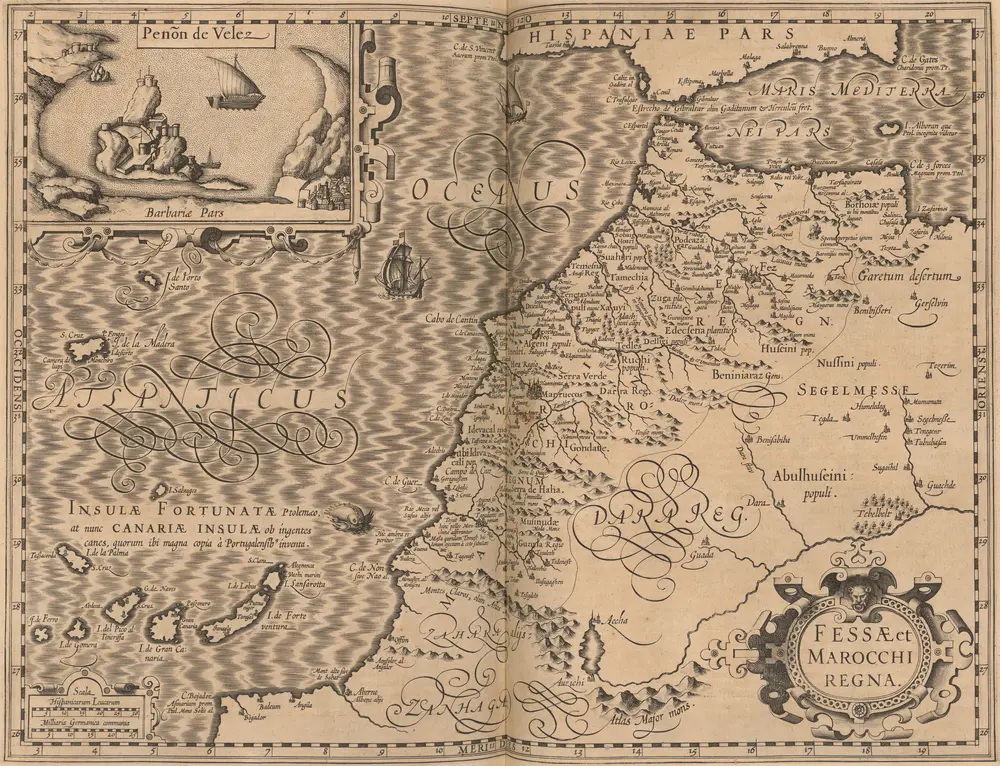
Fessae et Marocchi Regna. [Karte], in: Gerardi Mercatoris Atlas, sive, Cosmographicae meditationes de fabrica mundi et fabricati figura, S. 502.
1607
Mercator, Gerhard
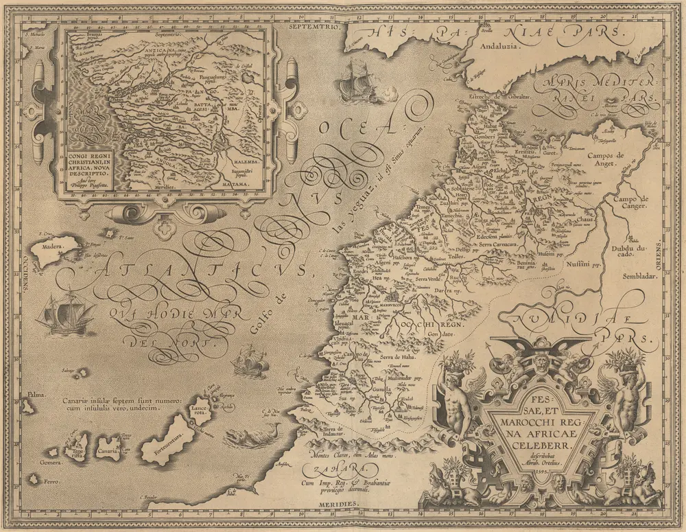
Fessae, Et Marocchi Regna Africae Celeberr. [Karte] Congi Regni Christiani, In Africa, Nova Descriptio. [Nebenkarte], in: Theatrum orbis terrarum, S. 421.
1603
Ortelius, Abraham


布克拉的老地图
在历史地图上发现 布克拉 的过去
布克拉的老地图
在历史地图上发现 布克拉 的过去
寻找 谷歌地图应用程序接口替代方案?