Skatalogowana mapa
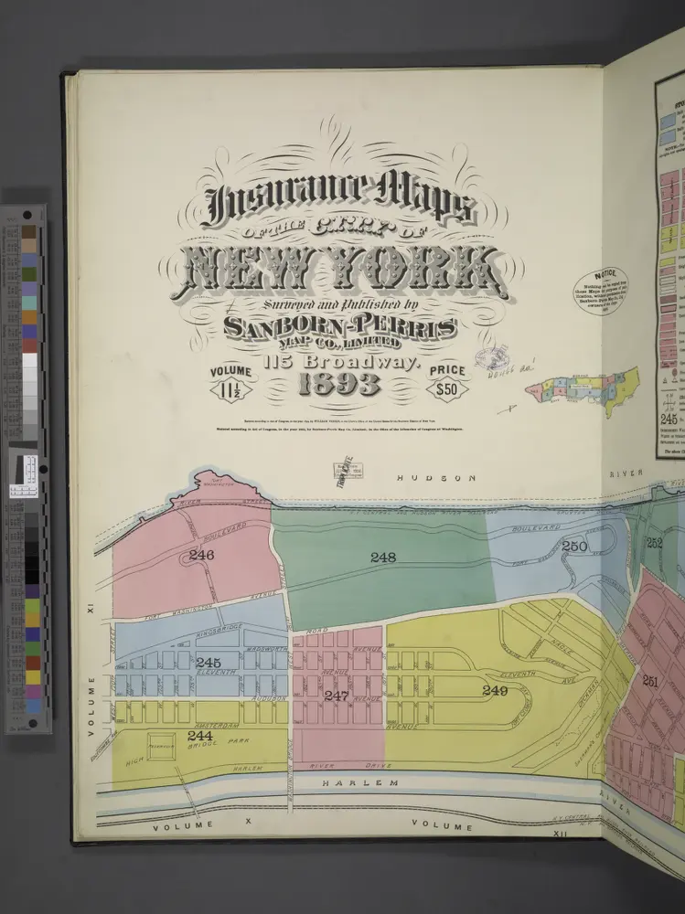
Insurance maps of the City of New York. Surveyed and published by Sanborn-Perris Map Co., Limited, 115 Broadway, 1893. Volume 11 1/2.
1893
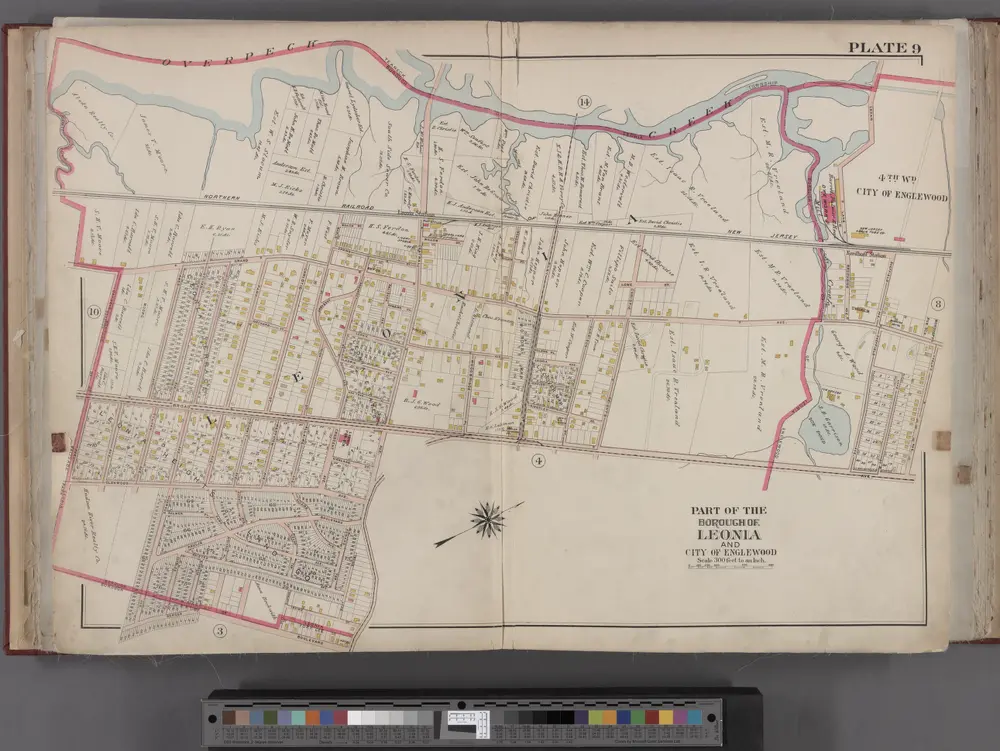
Bergen County, V. 1, Double Page Plate No. 9 [Map bounded by Overpeck Creek, Cedar Lane, Phelps Ave., Broad Ave., Borough Blvd., Oakdene Ave.] / by George W. and Walter S. Bromley.
1912
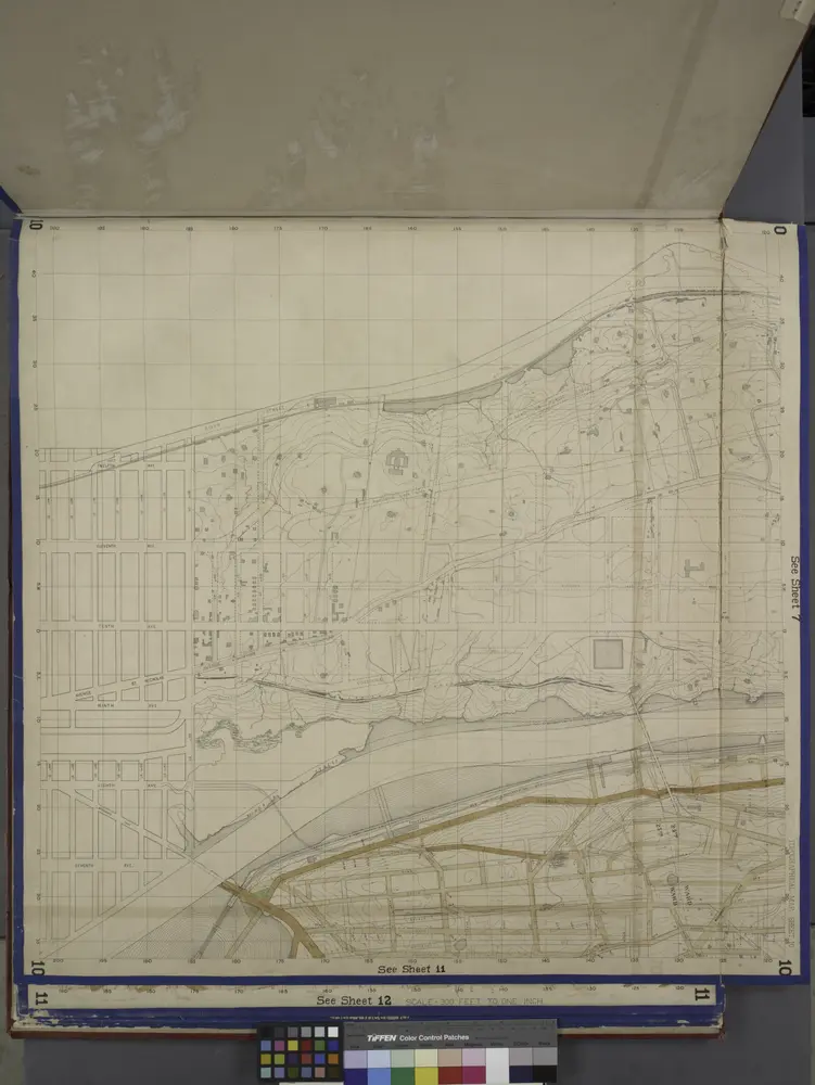
Bronx, Topographical Map Sheet 10; [Map bounded by Anderson Ave., Jerome Ave.; Including 7th Ave., 149th St., River St.]
1871
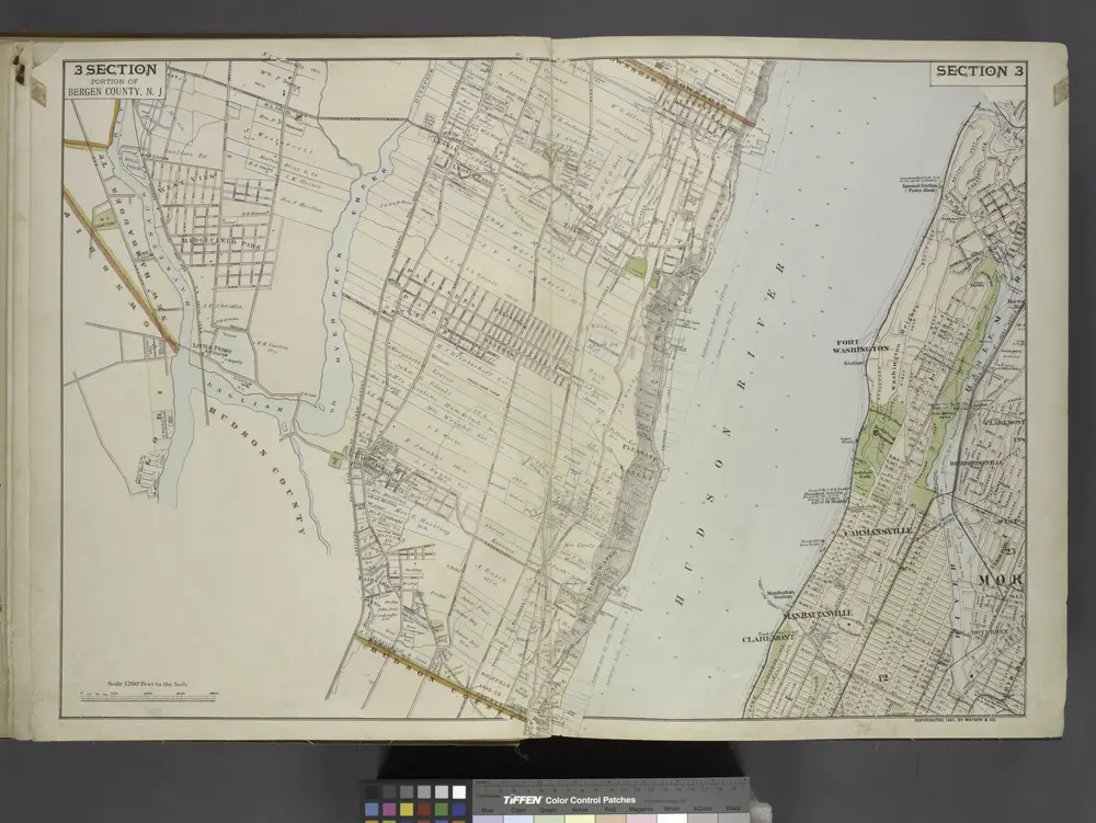
Portion of Bergen County, N.J.
1891
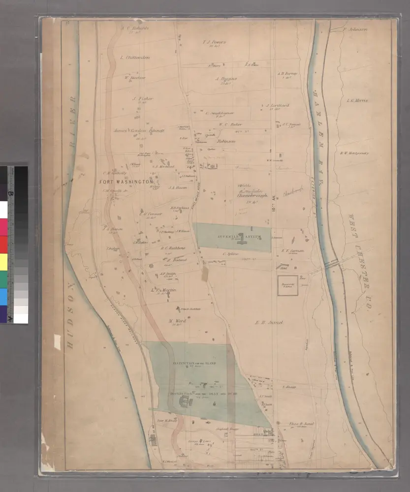
Sheet 19: [Bounded by Hudson River Bulk Head Pier Line, Fort Washington, 10th Avenue (Harlem River Bulk Head Pier Line) and 160th Street.]
1867
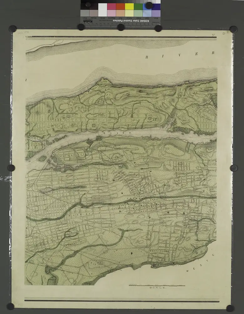
Topographical atlas of the city of New York, including the annexed territory showing original water courses and made land. / prepared under the direction of Egbert L. Viele.
1874
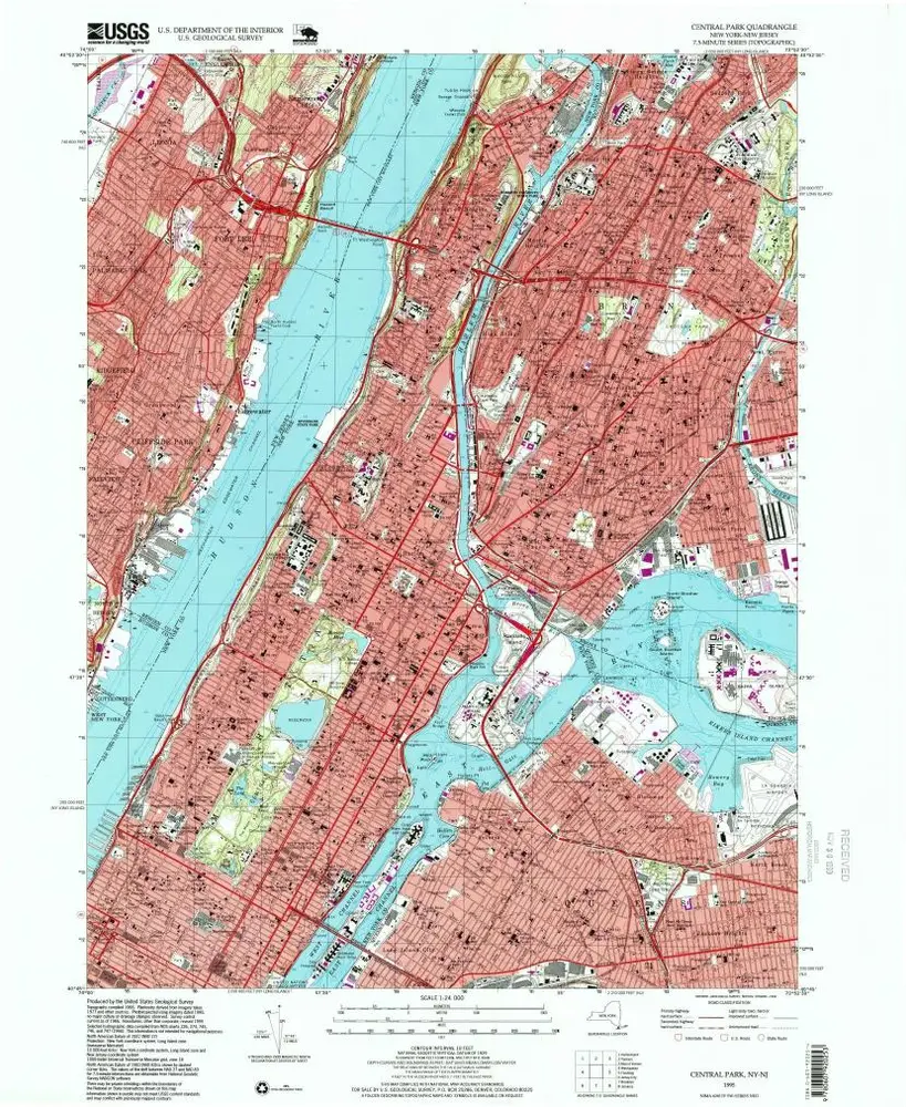
Central Park
1995
1:24k
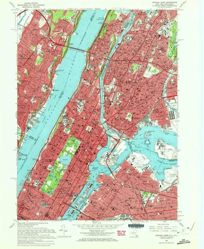
Central Park
1966
1:24k
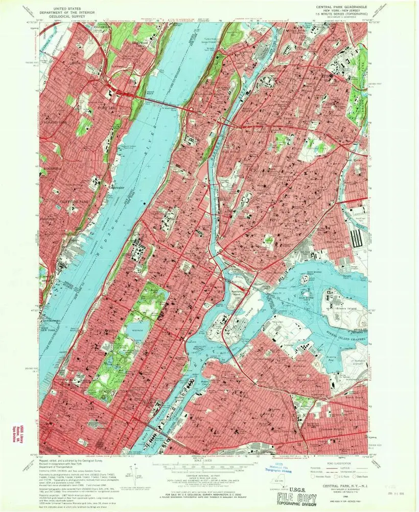
Central Park
1966
1:24k
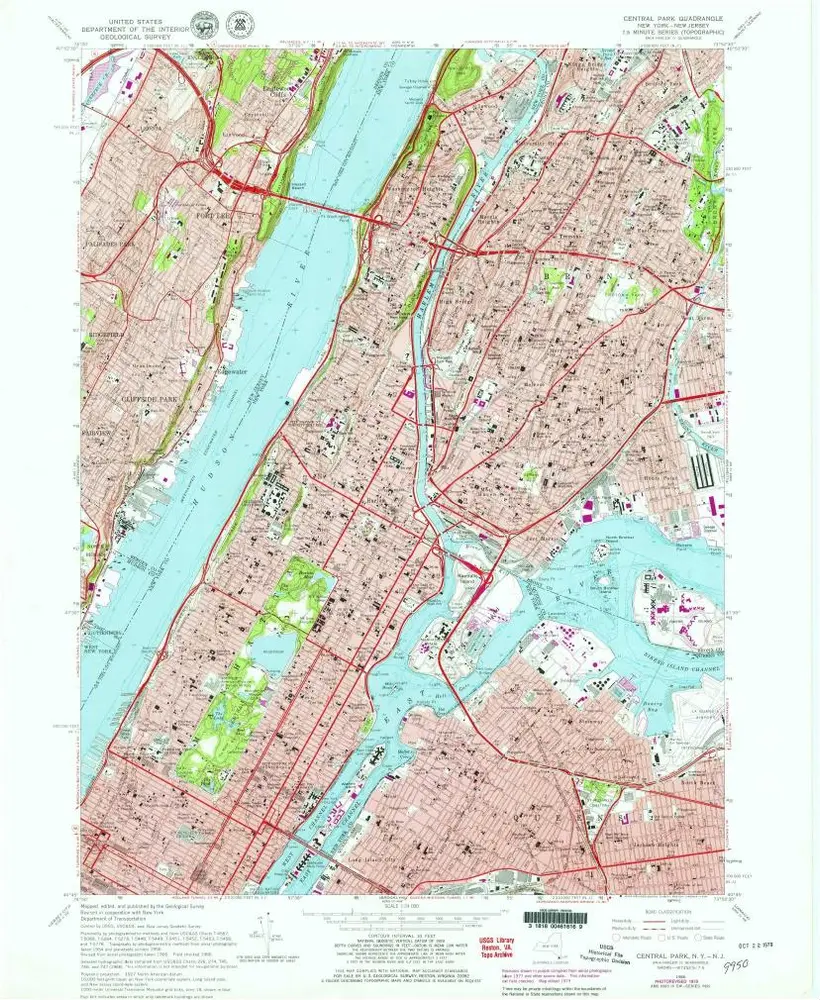
Central Park
1966
1:24k
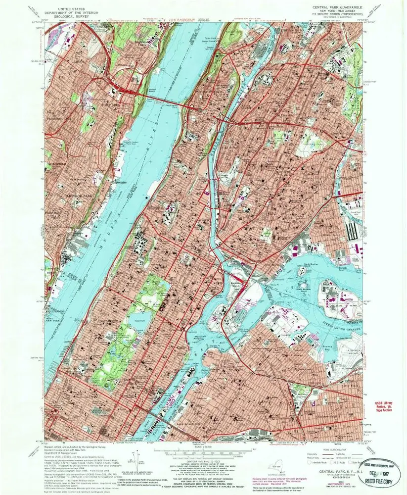
Central Park
1966
1:24k
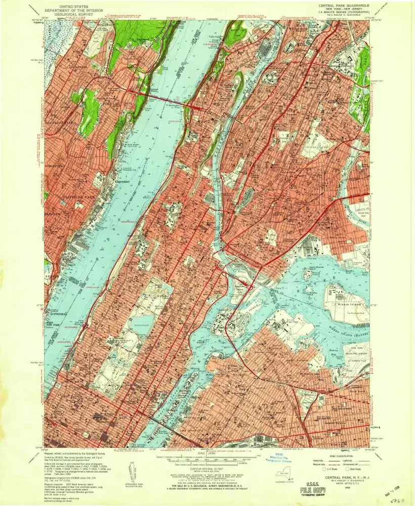
Central Park
1956
1:24k
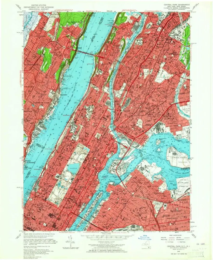
Central Park
1956
1:24k
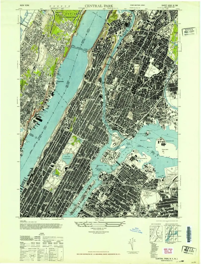
Central Park
1947
1:24k


