项目
社区
新闻
我的应用程序
我的地图
Skatalogowana mapa
Perry
在外部网站上查看
View digitized
Instytucja:
United States Geological Survey
Pełny tytuł:
Perry
Rok ilustracji:
1950
Skala mapy:
1:24 000
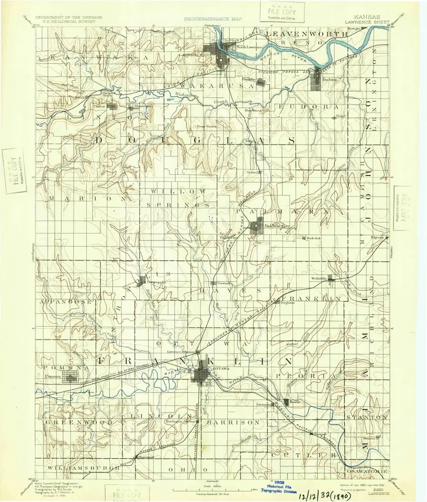
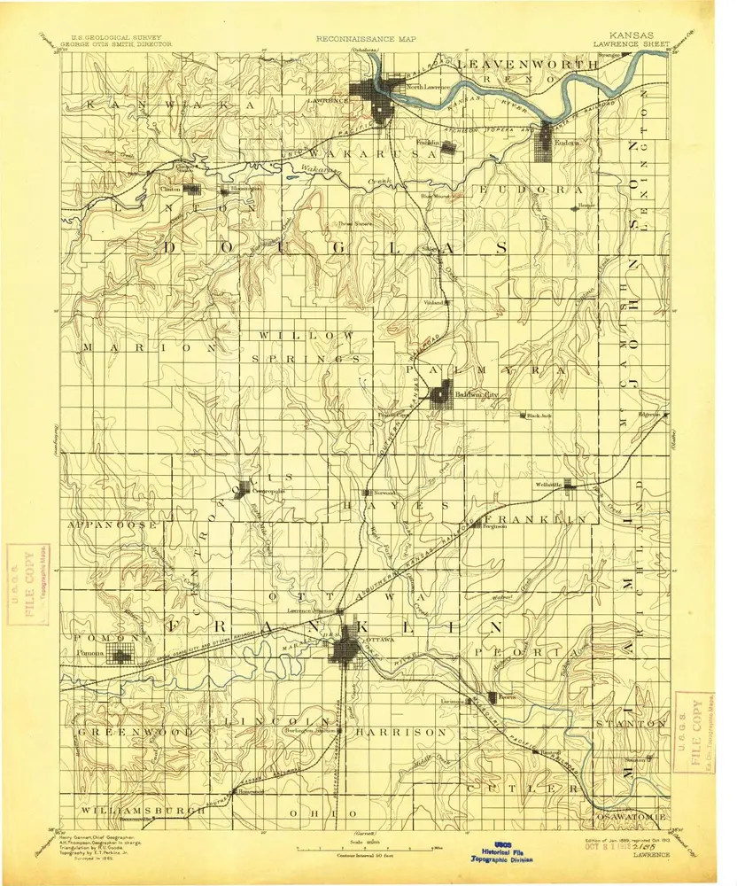
Lawrence
1889
1:125k
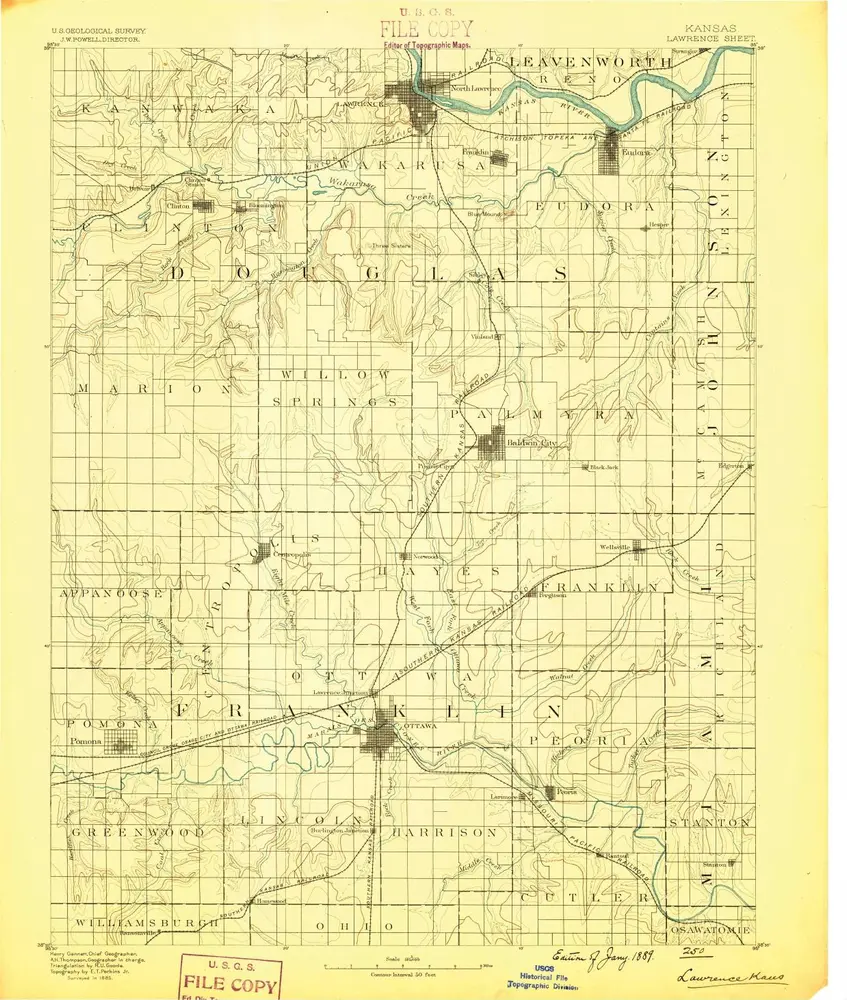
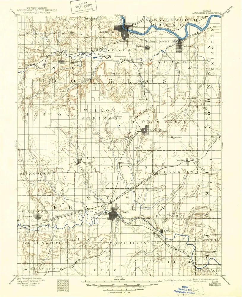
Lawrence
1889
1:125k
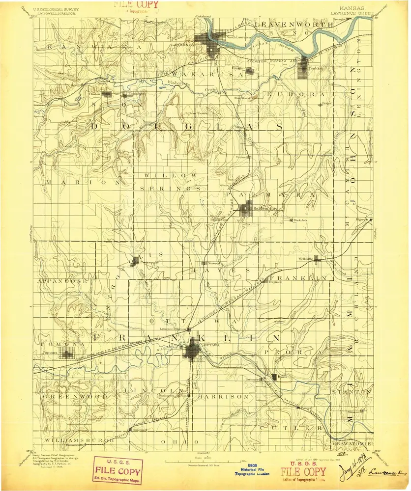
Lawrence
1889
1:125k
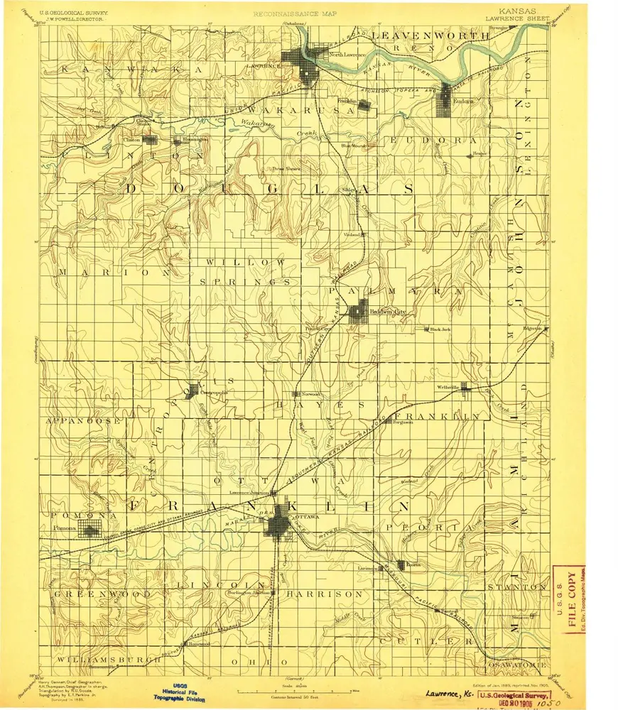
Lawrence
1889
1:125k
Lawrence
1889
1:125k
Lawrence
1889
1:125k
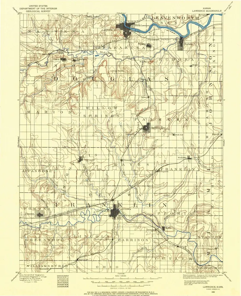
Lawrence
1885
1:125k
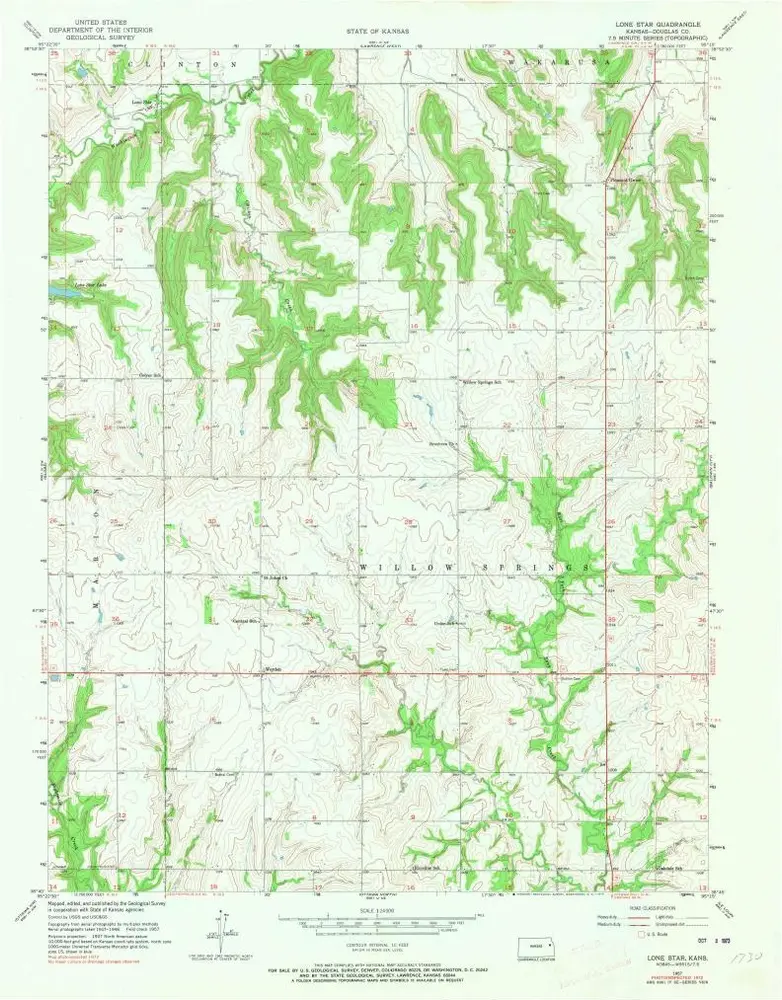
Lone Star
1957
1:24k
Lone Star
1957
1:24k
Lone Star
1957
1:24k
Baldwin City
1957
1:24k
Baldwin City
1957
1:24k
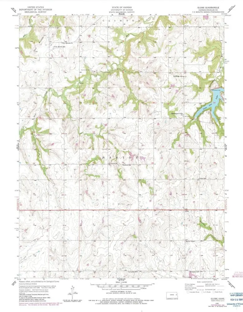
Globe
1955
1:24k
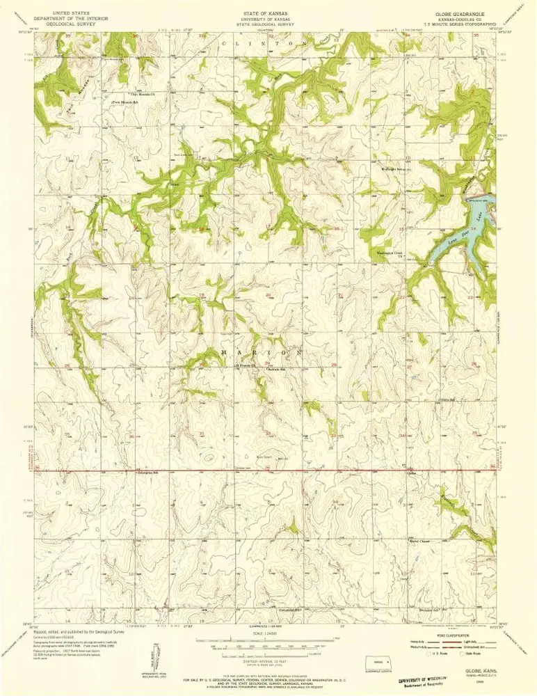
Globe
1955
1:24k
Historia