Carte cataloguée
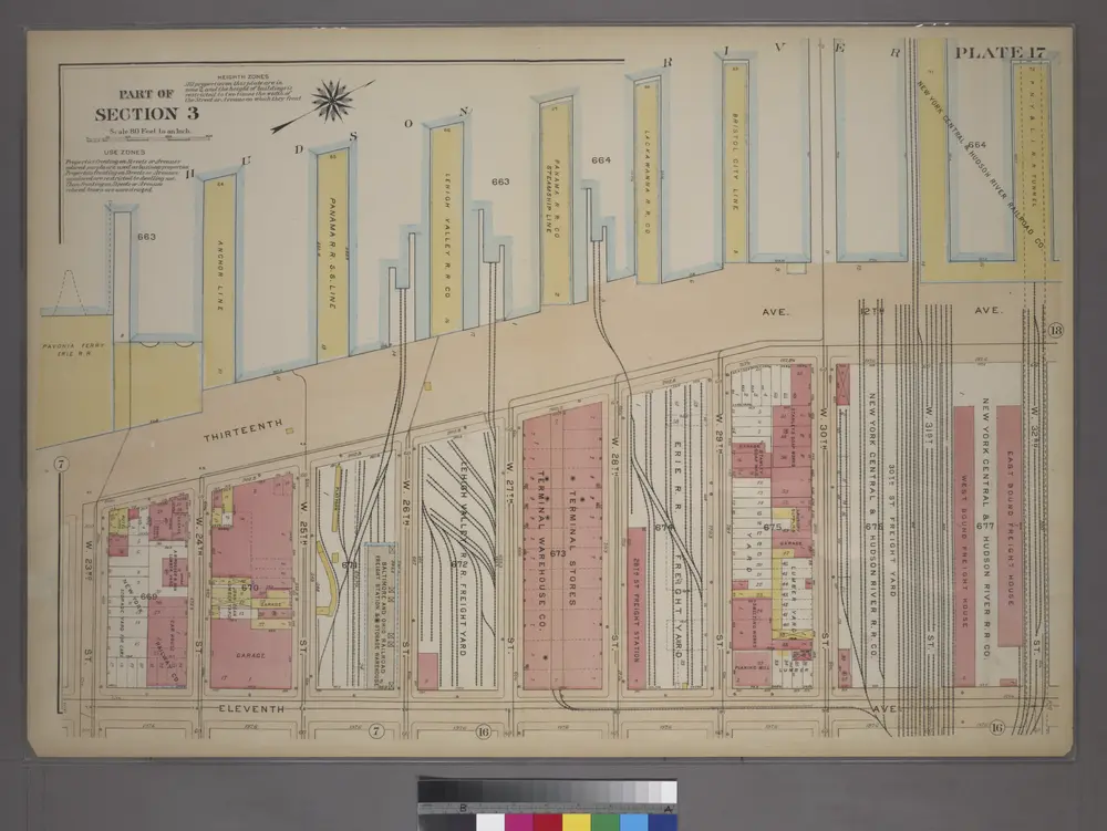
Plate 17, Part of Section 3: [Bounded by (Hudson River Docks) Thirteenth Avenue, W. 32nd Street, Eleventh Avenue and W. 23rd Street.]

Institution:community
Titre complet:Plate 17, Part of Section 3: [Bounded by (Hudson River Docks) Thirteenth Avenue, W. 32nd Street, Eleventh Avenue and W. 23rd Street.]
Année de l'image:1920
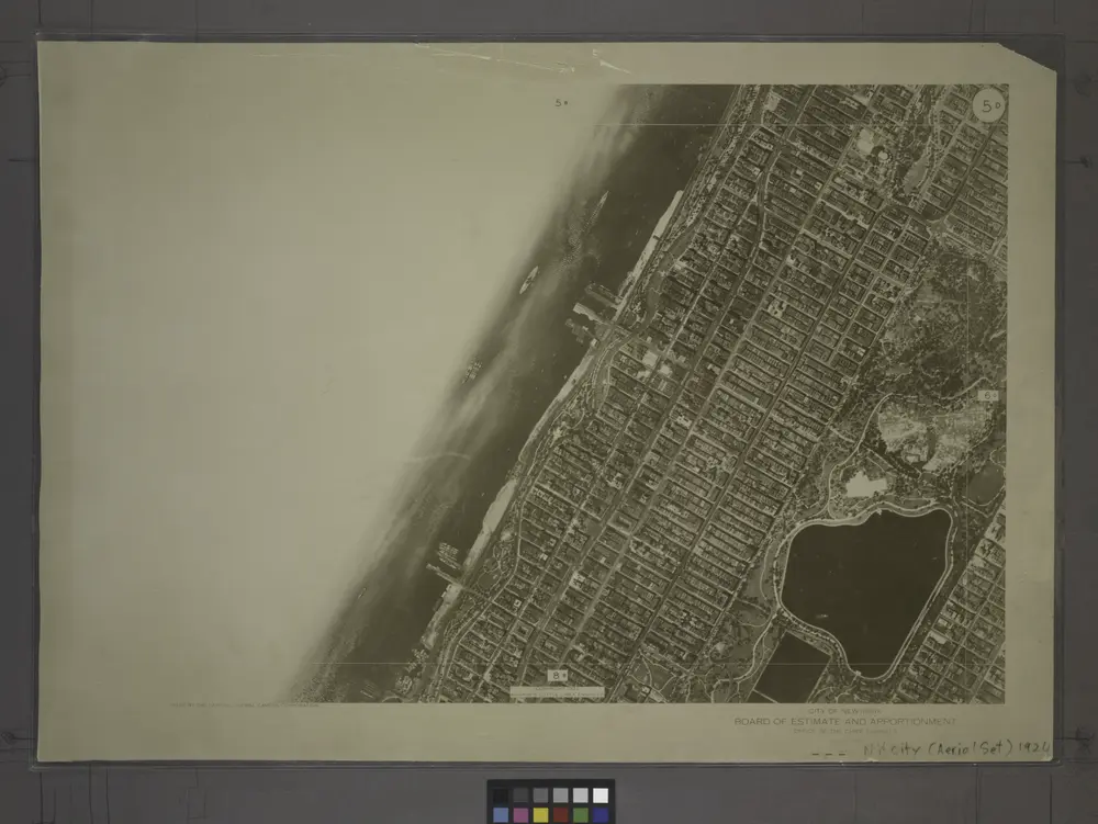
5D - N.Y. City (Aerial Set).
1924
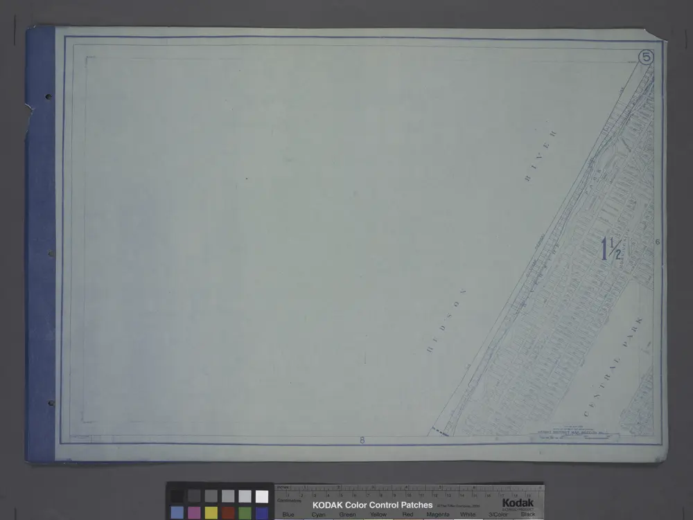
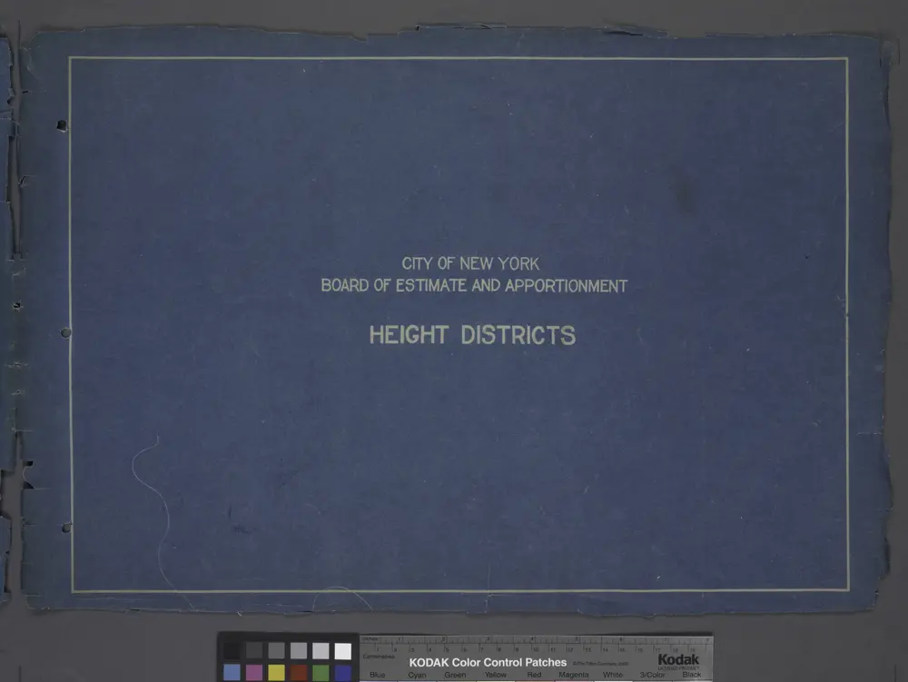
Height District Map Section No. 5; Height district map / City of New York, Board of Estimate and Apportionment.
1916
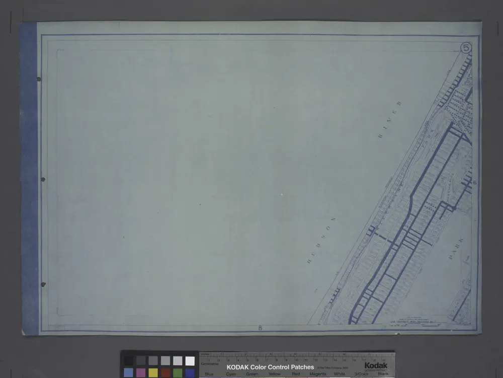
Use District Map Section No. 5
1916
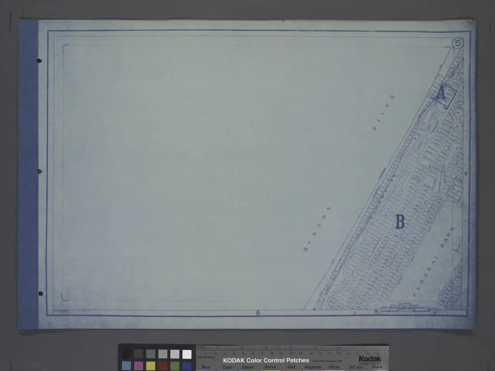
Area District Map Section No. 5
1916
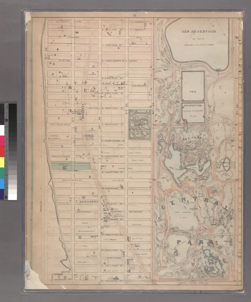
Sheet 13: [Bounded by W. Ninty First Street, (New Reservoir) 5th Avenue, Fifty Ninth Street and 12th Avenue.]
1867
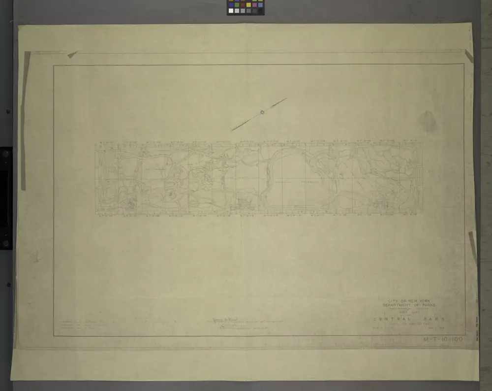
M-T-10-100: Index Map of Central Park, Boro. of Manhattan.
1948

Topographical map of New York City, County and vicinity: showing old farm lines &c. / based on Randells and other official surveys, drawings and modern surveys by J.F. Harrison & T. Magrane; printed by C. Wadlow.
1854

Facsimile of the unpublished British head quarters coloured manuscript map of New York & environs / reproduced from the original drawing in the War Office, London.
1782
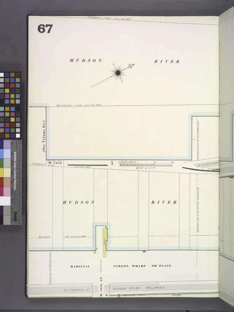
Manhattan, V. 7, Plate No. 67 [Map bounded by Hudson River, Marginal St.]
1902
Front Cover
1916