Katalogisierte Karte
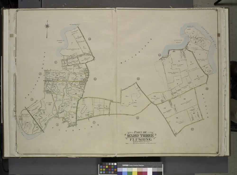
Queens, Vol. 3, Double Page Plate No. 4; Part of ward Three College Point. [Map bounded by 11th Ave., 10th Ave., 7th Ave., 6th Ave., Linden Ave., 5th Ave., Simths Lane, 4th Ave., Lawrence Ave., 3rd Ave., Nostrand Lane, Old Flushing Rd., Whitestone

Einrichtung:New York Public Library
Vollständiger Titel:Queens, Vol. 3, Double Page Plate No. 4; Part of ward Three College Point. [Map bounded by 11th Ave., 10th Ave., 7th Ave., 6th Ave., Linden Ave., 5th Ave., Simths Lane, 4th Ave., Lawrence Ave., 3rd Ave., Nostrand Lane, Old Flushing Rd., Whitestone
Jahr der Abbildung:1913
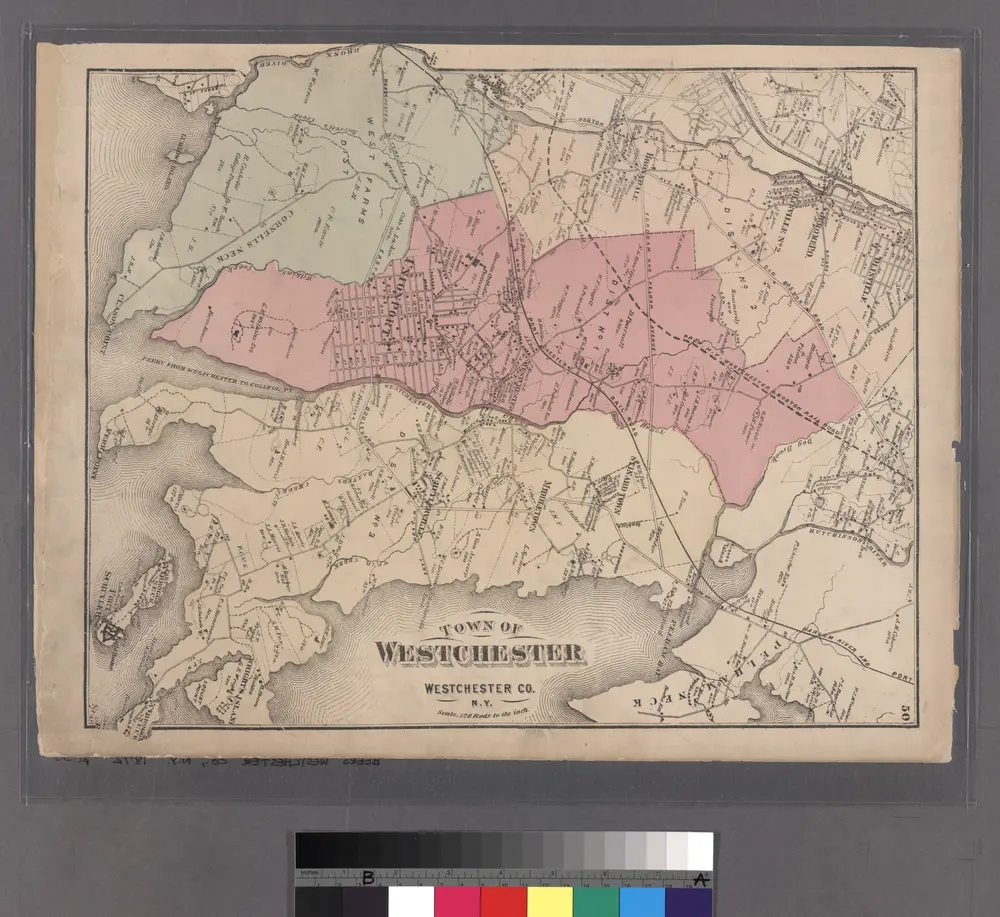
Plate 50: Town of Westchester, Westchester Co. N.Y.
1872
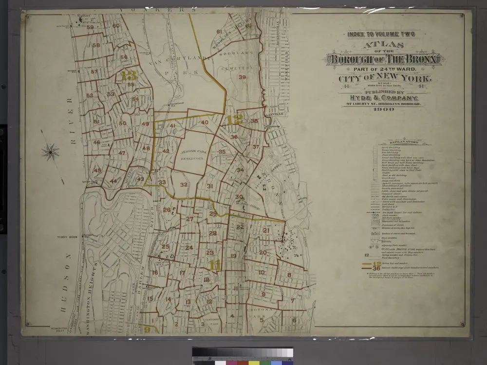
Index to Volume Two: Atlas of the Borough of the Bronx, City of New York. Part of 24th Ward.
1901
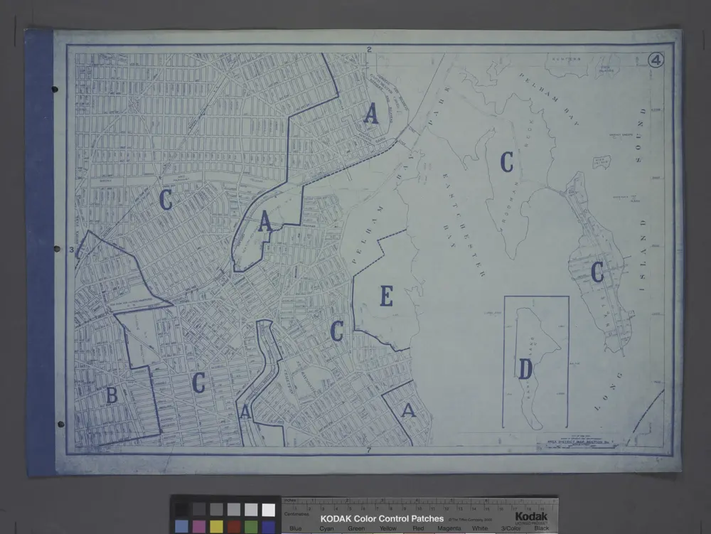
Area District Map Section No. 4
1916
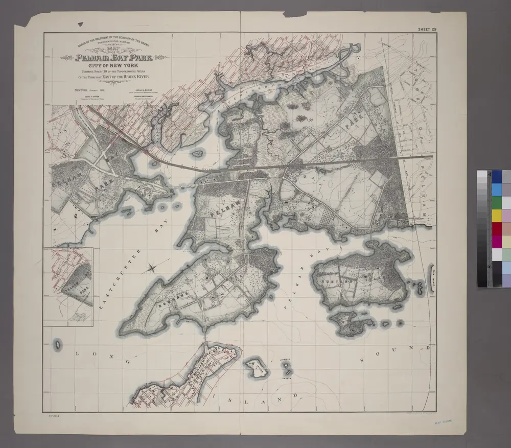
Sheet 29: Map of Pelham Bay Park, City of New York, forming sheet 29 of the Topographical Atlas of the Territory East of the Bronx River.
1905
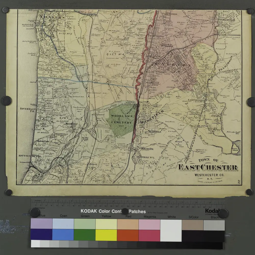
Plates 21 & 22: Town and City of Yonkers, Westchester Co. N.Y. - Town of East Chester, Westchester Co. N.Y.
1872
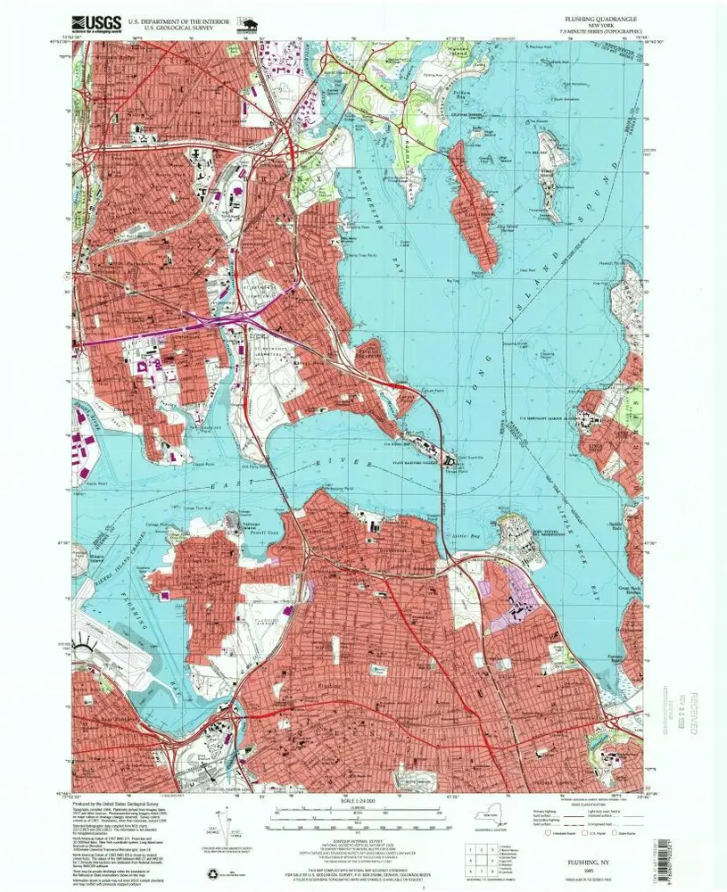
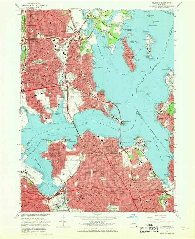
Flushing
1995
1:24k
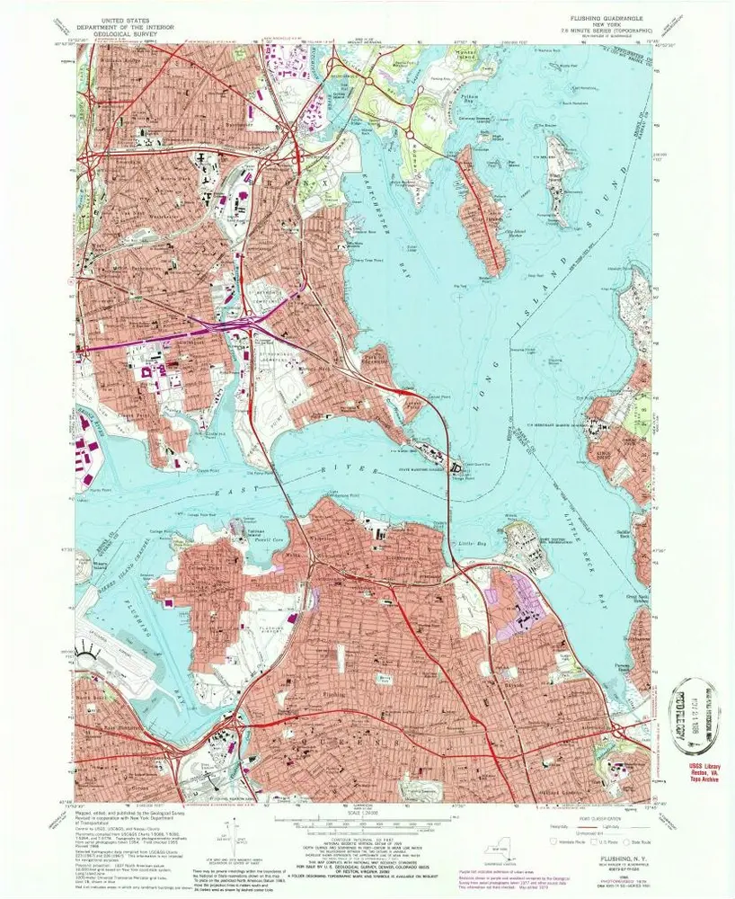
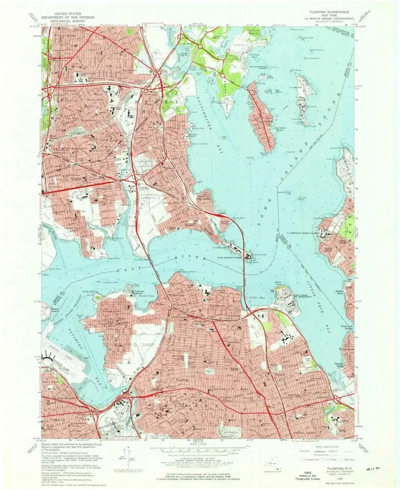
Flushing
1966
1:24k
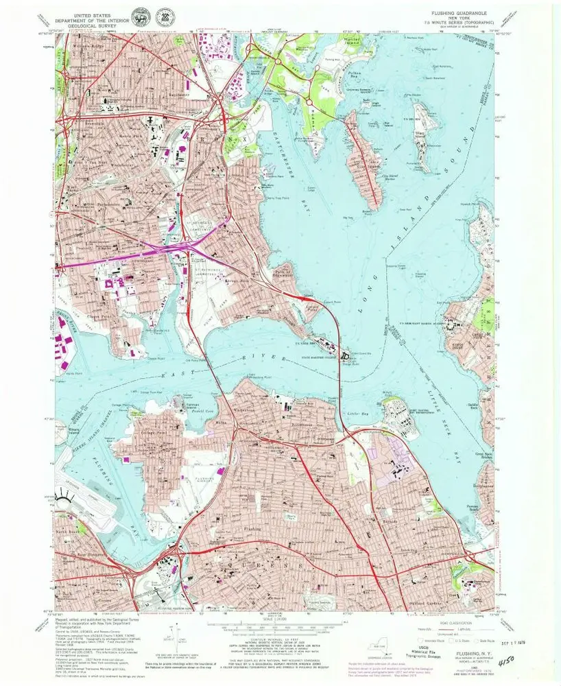
Flushing
1966
1:24k
Flushing
1966
1:24k
Flushing
1966
1:24k
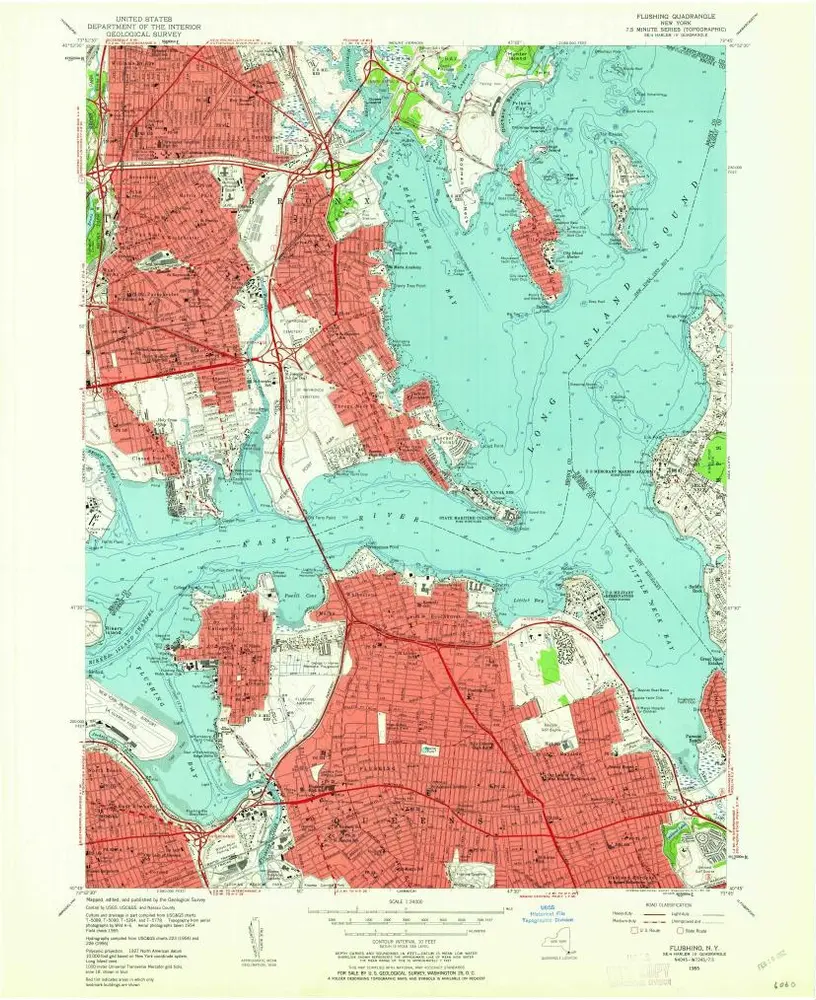
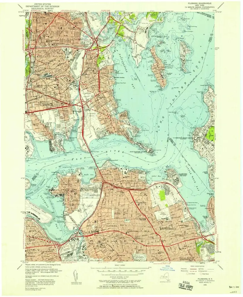
Flushing
1955
1:24k
Flushing
1955
1:24k
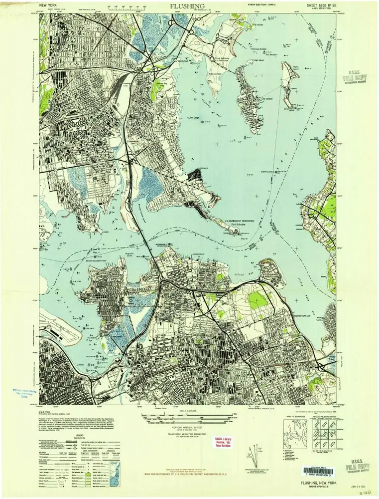
Flushing
1947
1:24k
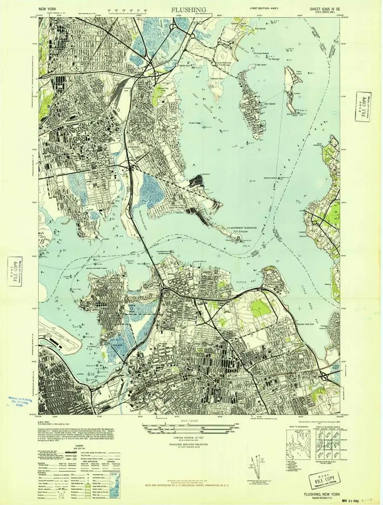
Flushing
1947
1:24k