Katalogisierte Karte
Mariposa
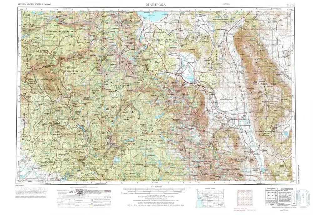

Einrichtung:United States Geological Survey
Vollständiger Titel:Mariposa
Jahr der Abbildung:1957
Veröffentlichungsdatum:1976
Maßstab der Karte:1:250 000
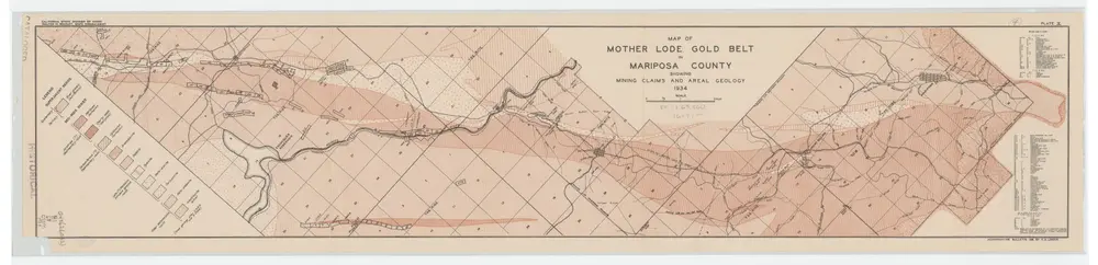
Map of Mother Lode Gold Belt in Mariposa County Showing Mining Claims and Areal Geology; Plate X
1934
Logan, C. A. (Clarence August), 1887-
1:63k
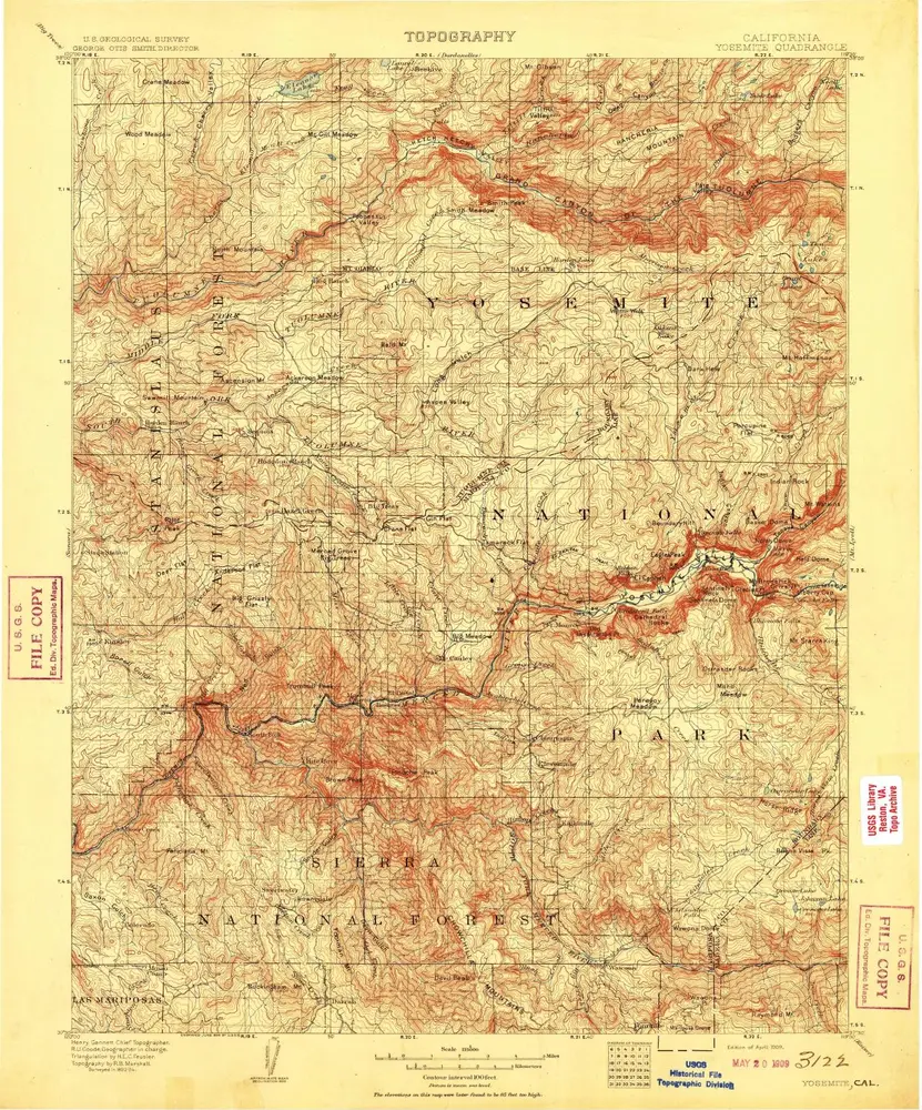
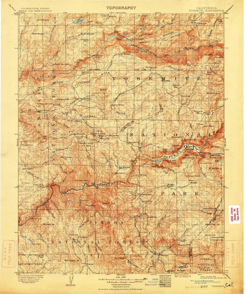
Yosemite
1909
1:125k
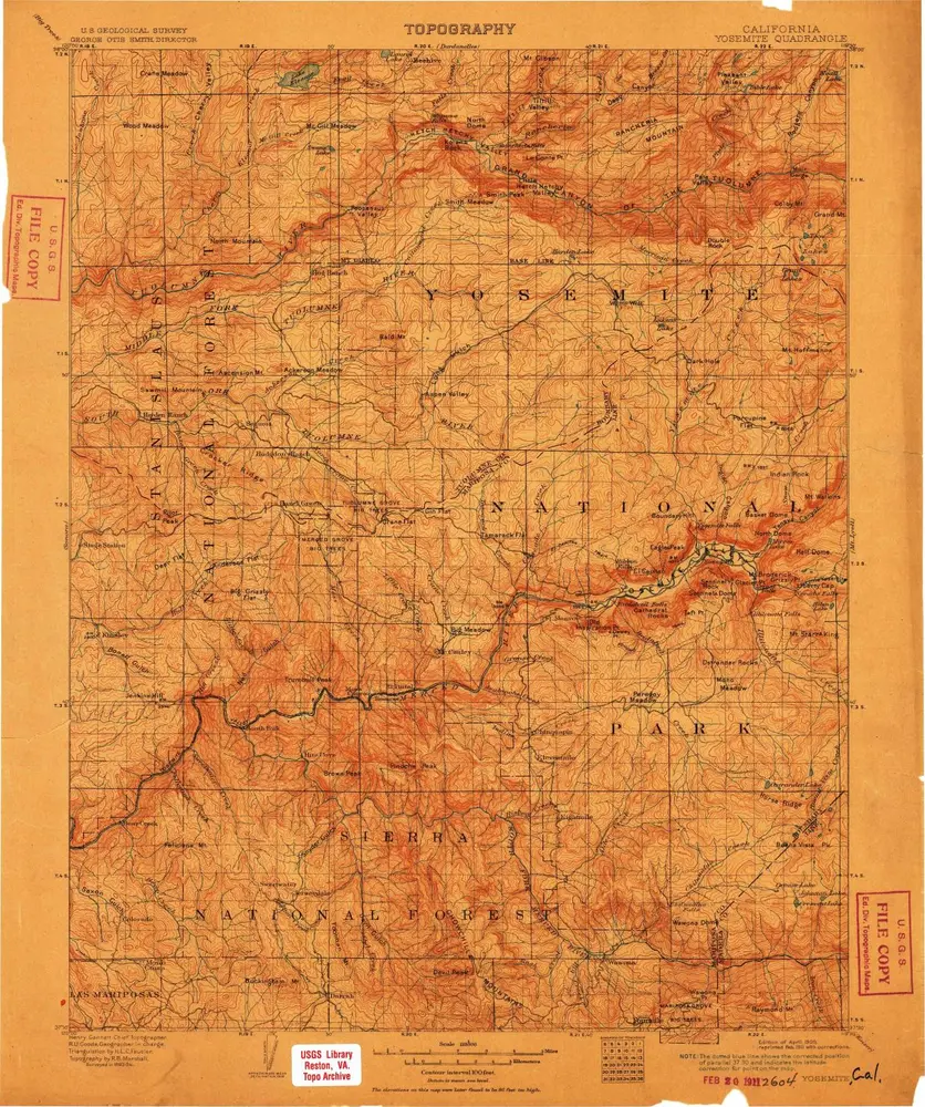
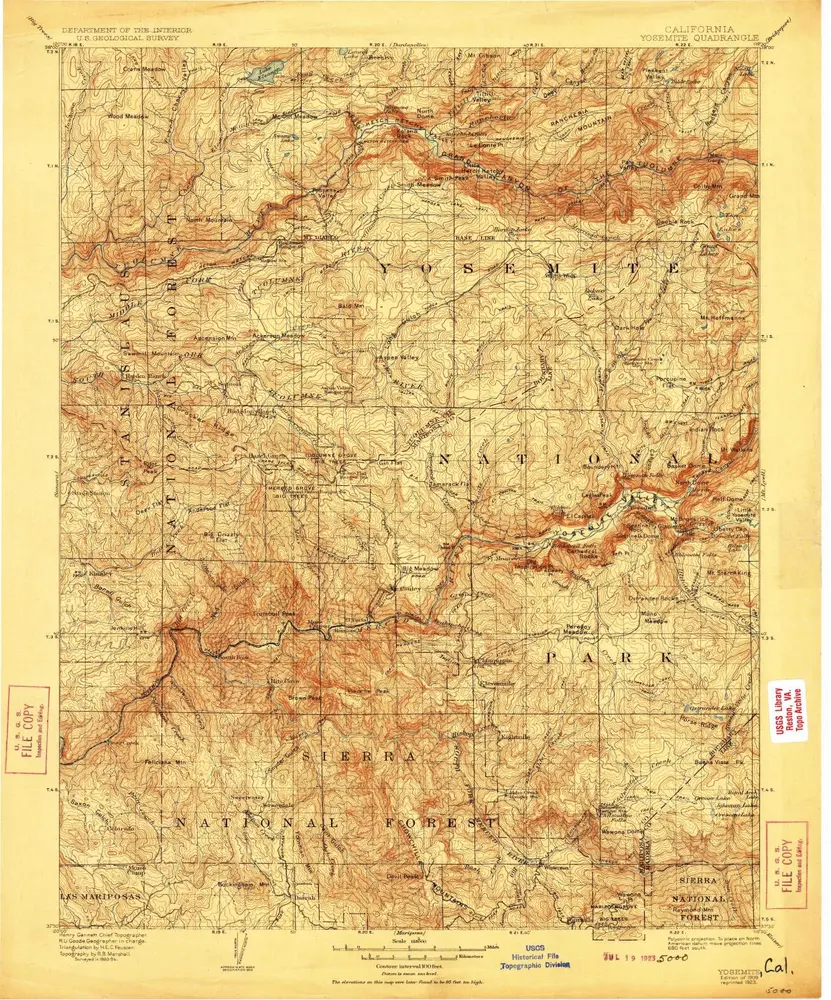
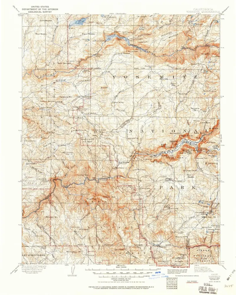
Yosemite
1909
1:125k
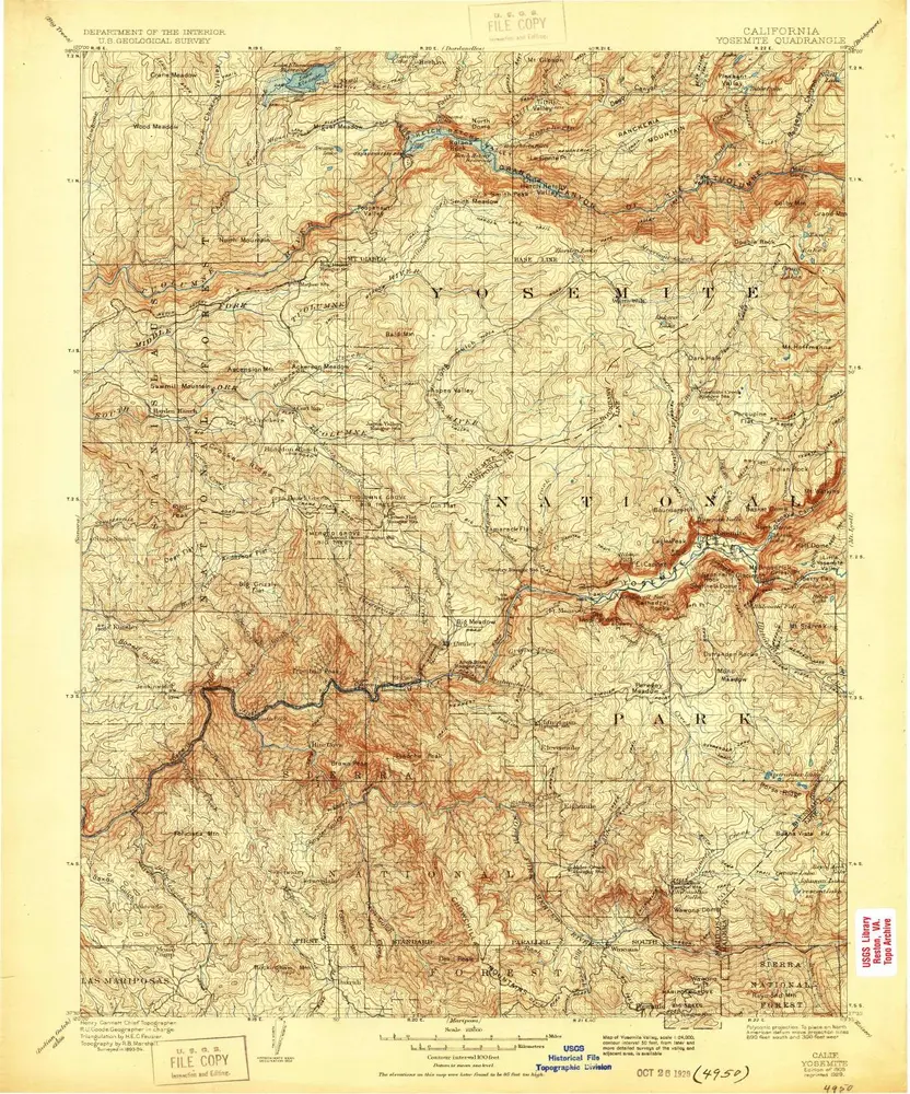
Yosemite
1909
1:125k
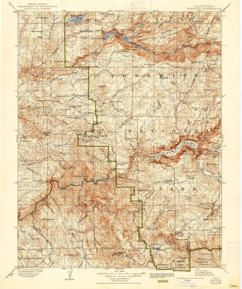
Yosemite
1909
1:125k
Yosemite
1909
1:125k
Yosemite
1909
1:125k
Yosemite
1909
1:125k
Yosemite
1909
1:125k
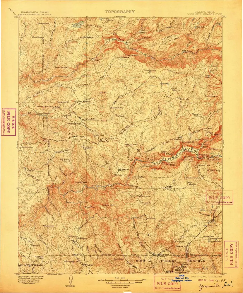
Yosemite
1903
1:125k
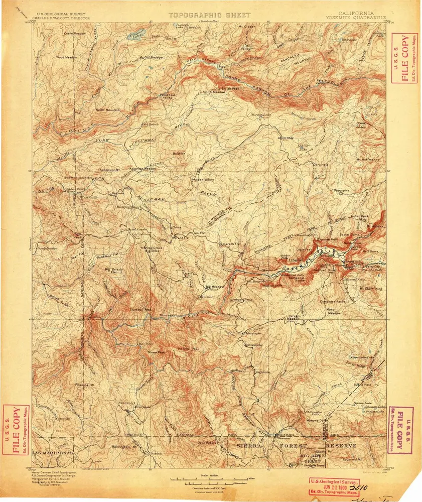
Yosemite
1900
1:125k
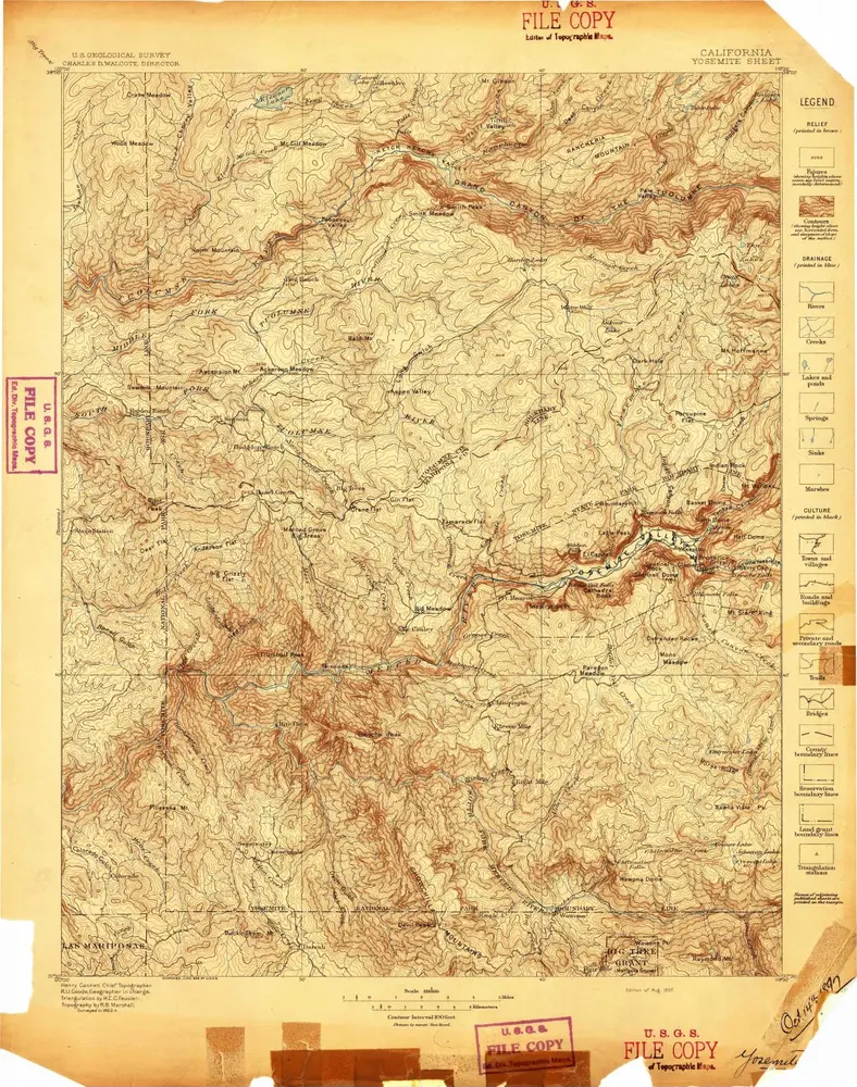
Yosemite
1897
1:125k