项目
社区
新闻
我的应用程序
我的地图
Katalogisierte Karte
Brandywine
在外部网站上查看
查看數位化
Einrichtung:
United States Geological Survey
Vollständiger Titel:
Brandywine
Jahr der Abbildung:
1913
Veröffentlichungsdatum:
1932
Maßstab der Karte:
1:62 500
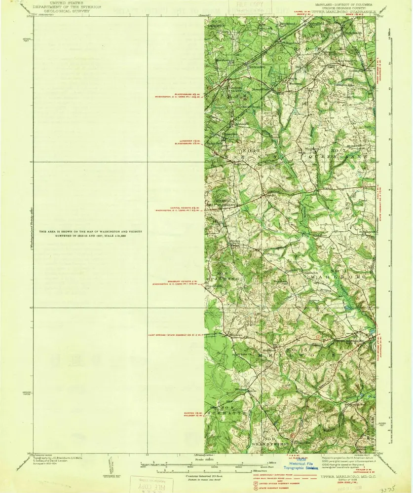
Upper Marlboro
1938
1:63k
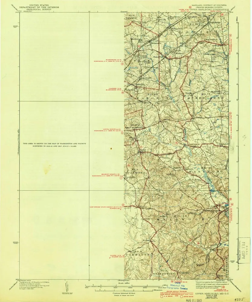
Upper Marlboro
1938
1:63k
Upper Marlboro
1938
1:63k
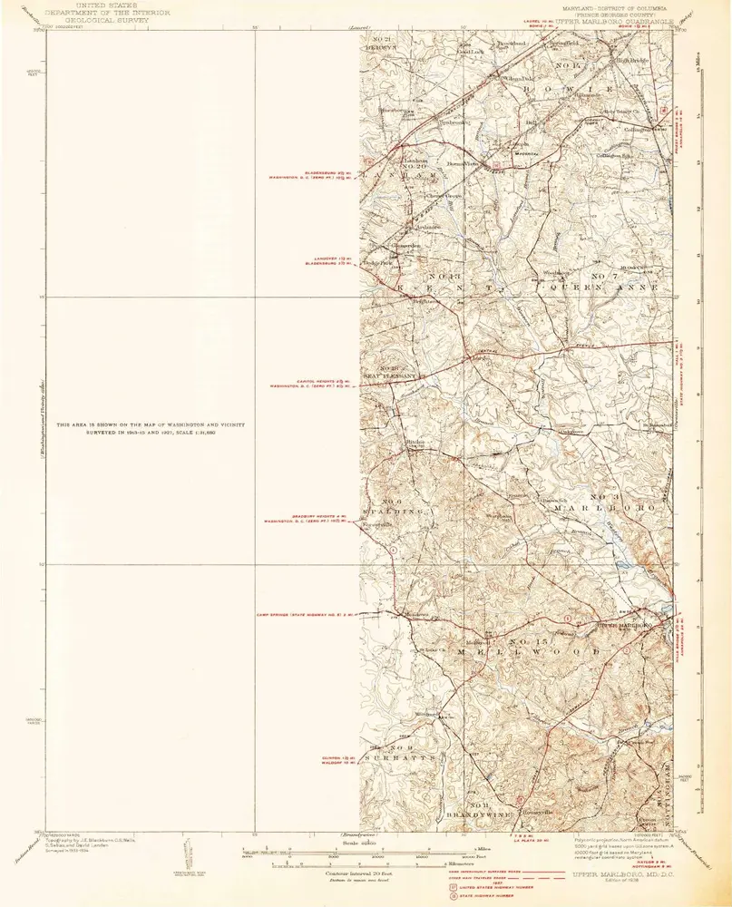
Upper Marlboro
1937
1:63k
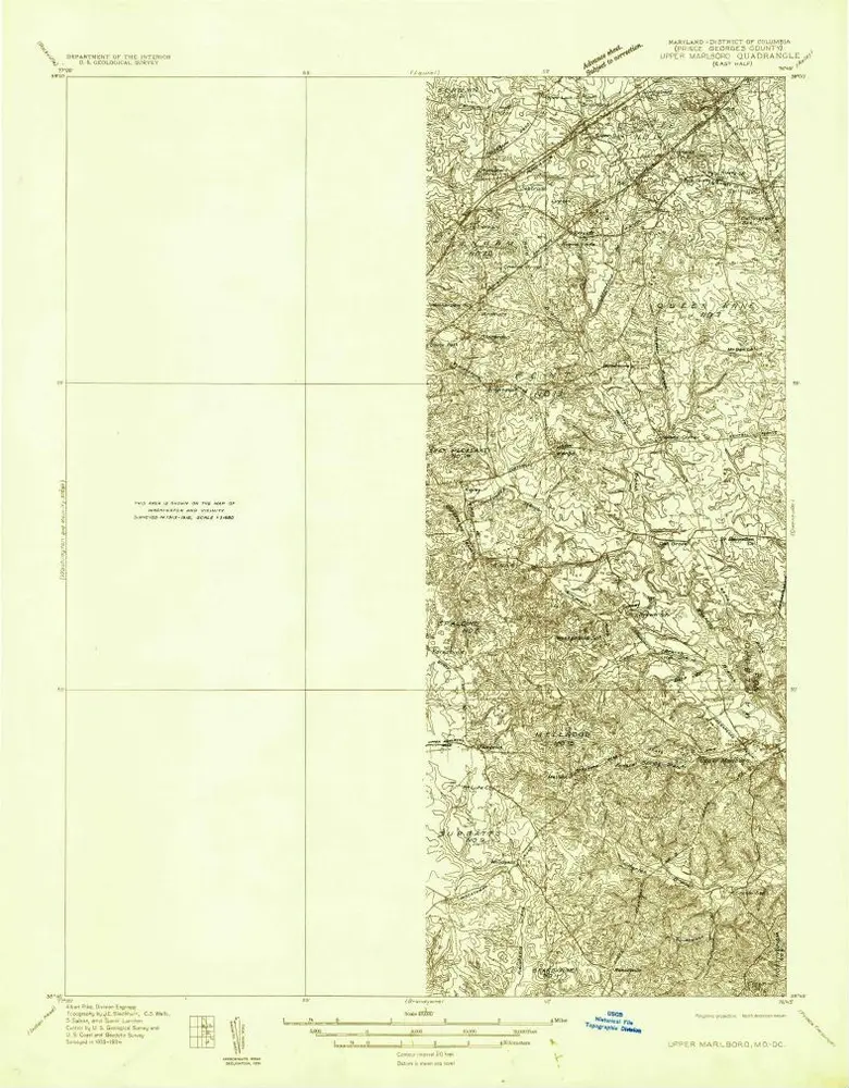
Upper Marlboro (east half)
1934
1:48k
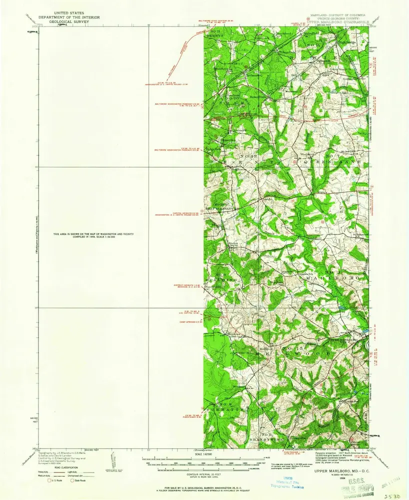
Upper Marlboro
1934
1:63k
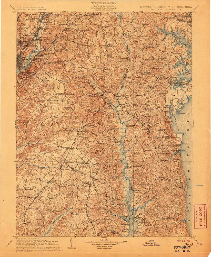
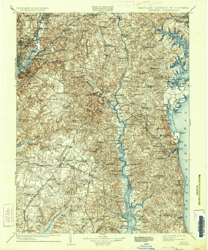
Patuxent
1906
1:125k
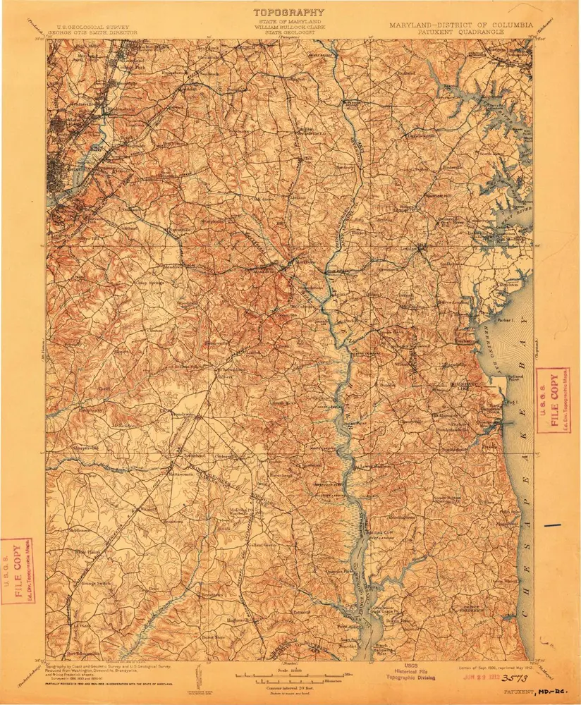
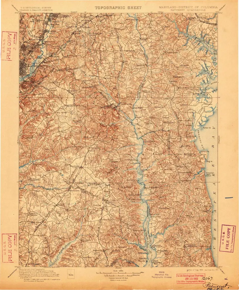
Patuxent
1906
1:125k
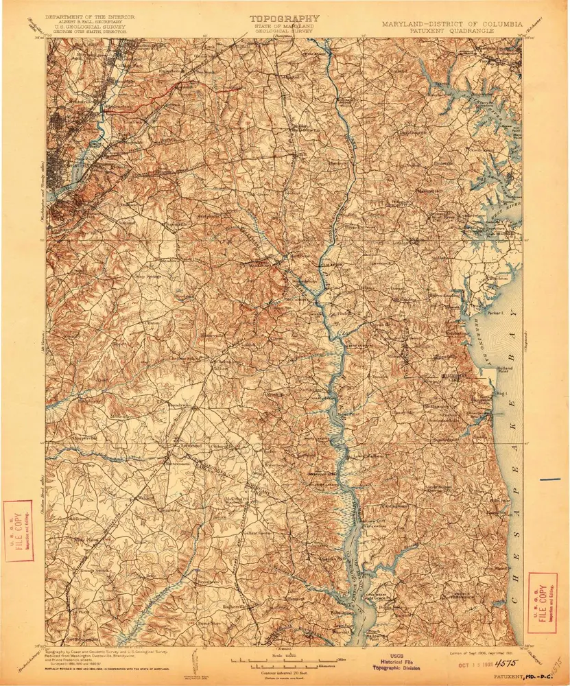
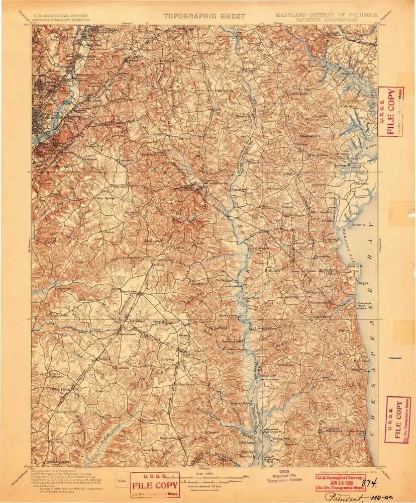
Patuxent
1906
1:125k
Patuxent
1906
1:125k
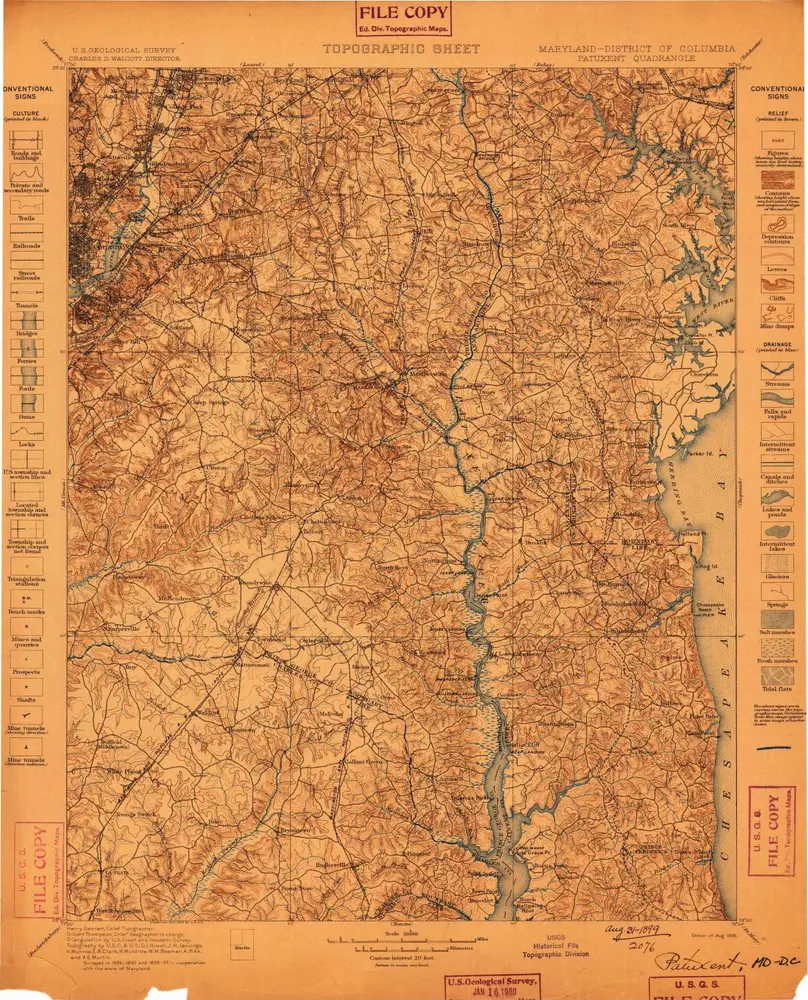
Patuxent
1899
1:125k
Patuxent
1899
1:125k
Patuxent
1899
1:125k
Geschichte