

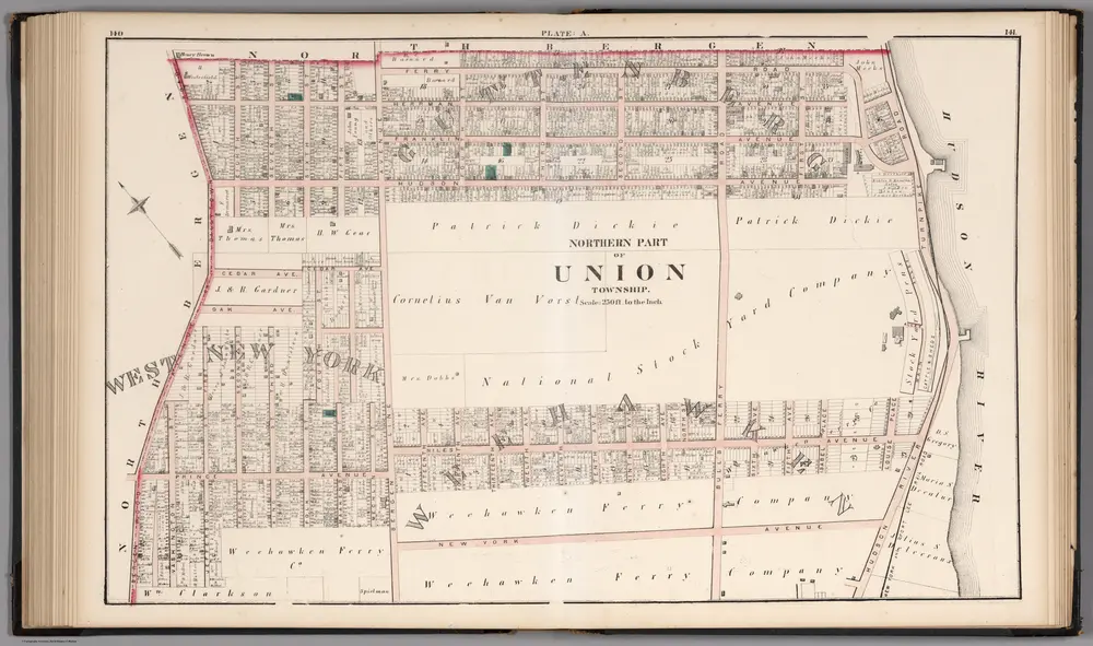
Northern Part of the Union Township - Plate A.
1873
Hopkins, G.M.
1:3k
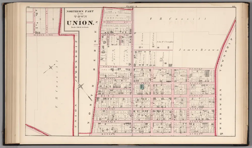
Northern Part of the Town of Union - Plate A.
1873
Hopkins, G.M.
1:2k
8A - N.Y. City (Aerial Set).
1924
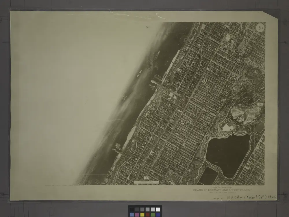
5D - N.Y. City (Aerial Set).
1924
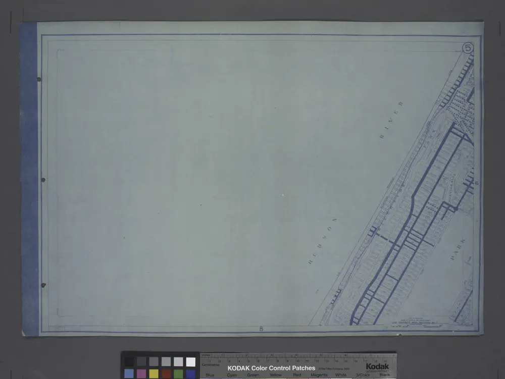
Use District Map Section No. 5
1916
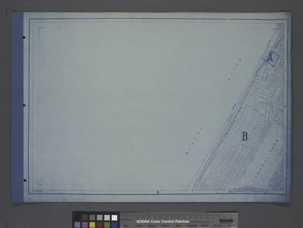
Area District Map Section No. 5
1916
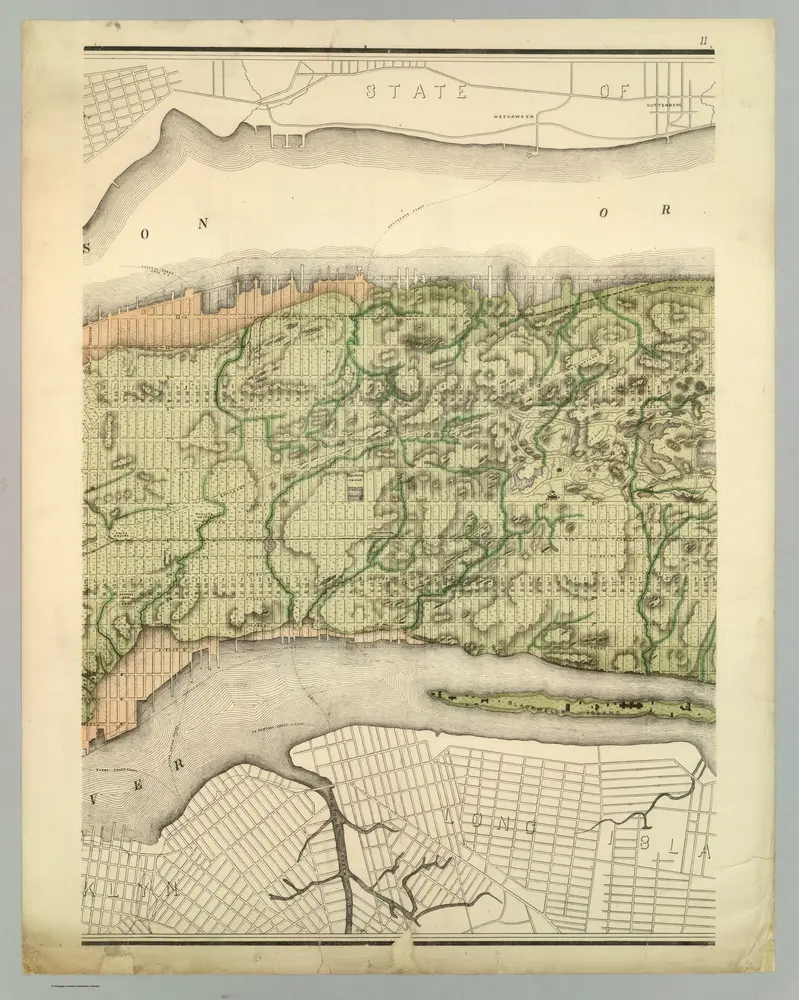
Topographical Atlas Of The City Of New York
1874
Viele, Egbert L.
1:12k

Manhattan, V. 6, Double Page Plate [Map of Hudson River Piers along 12th Ave.]
1892
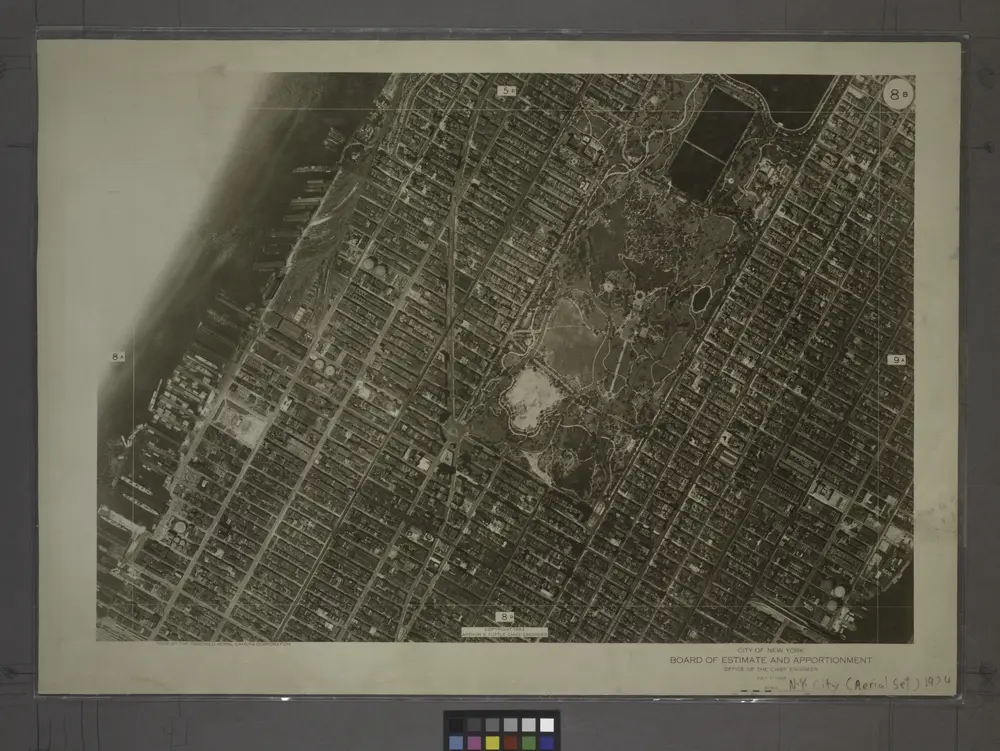
8B - N.Y. City (Aerial Set).
1924
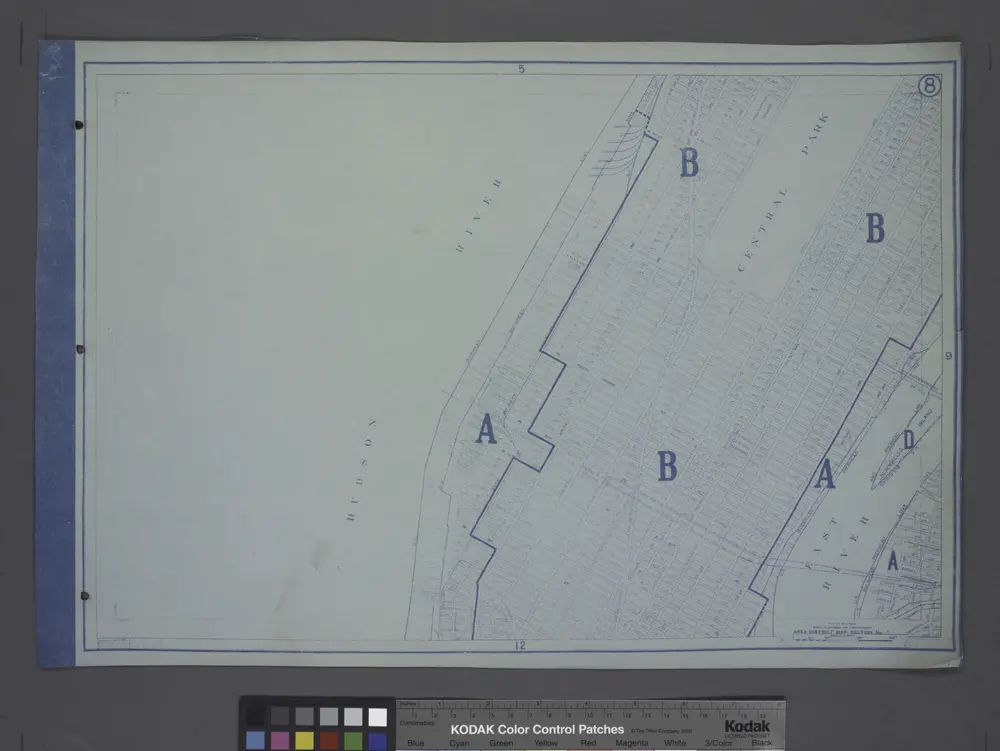
Area District Map Section No. 8
1916

