

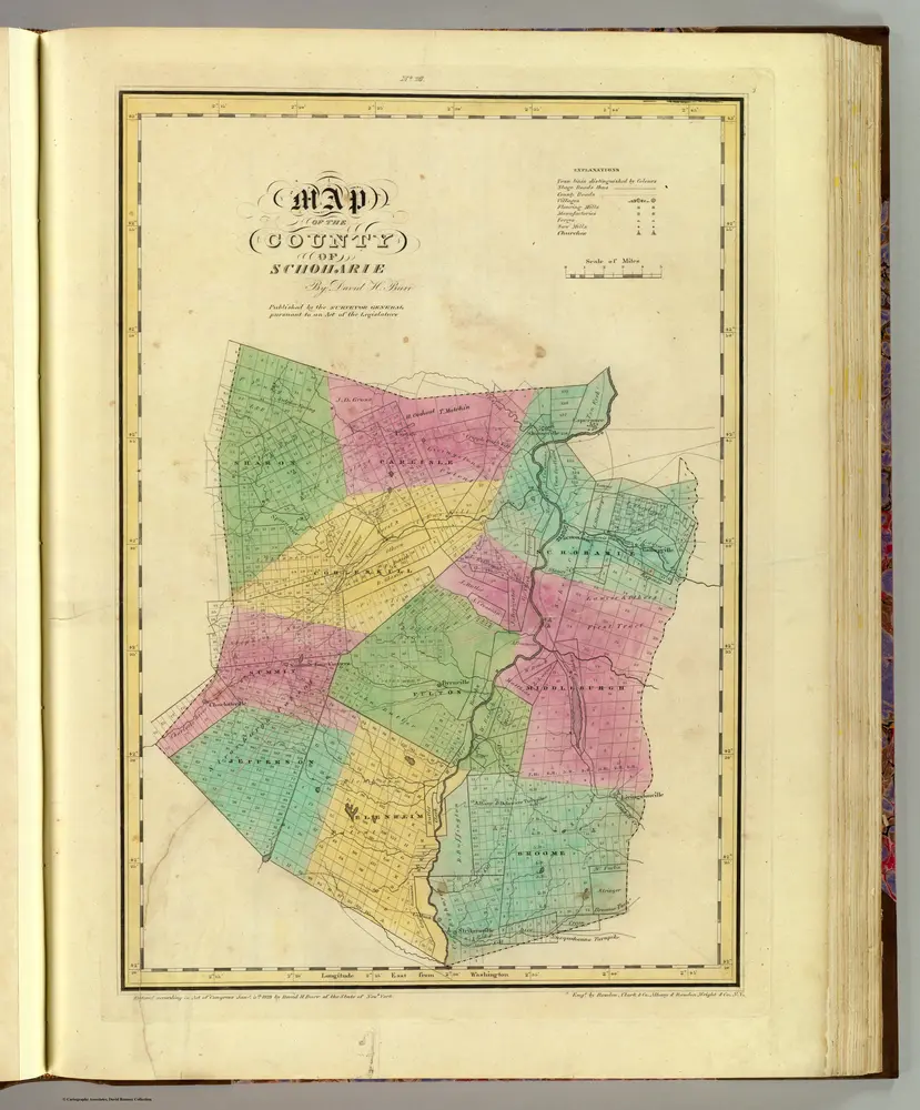
Schoharie County.
1829
Burr, David H., 1803-1875
1:151k
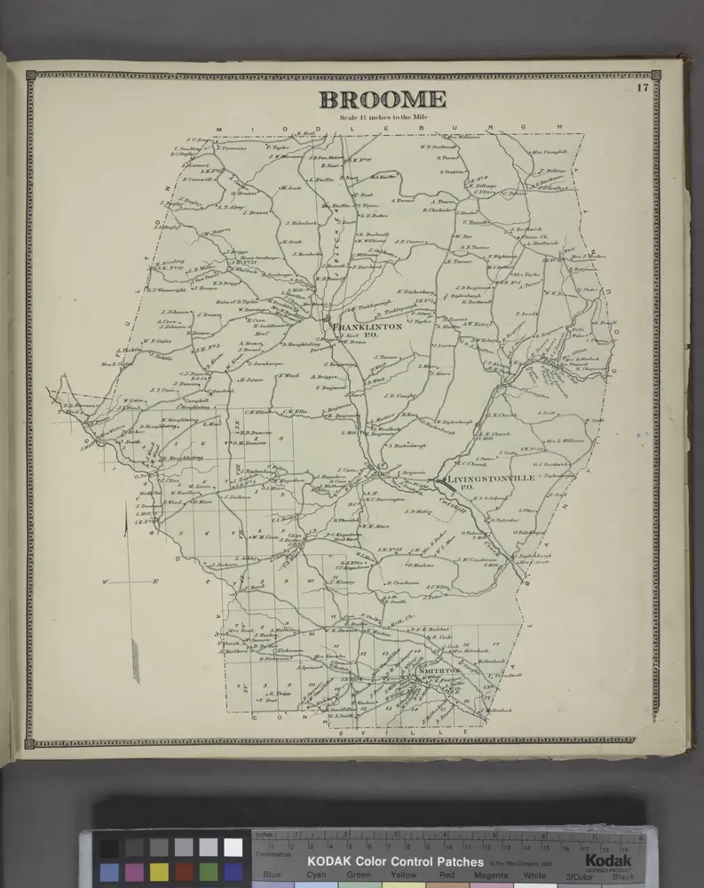
Broome [Township]
1866
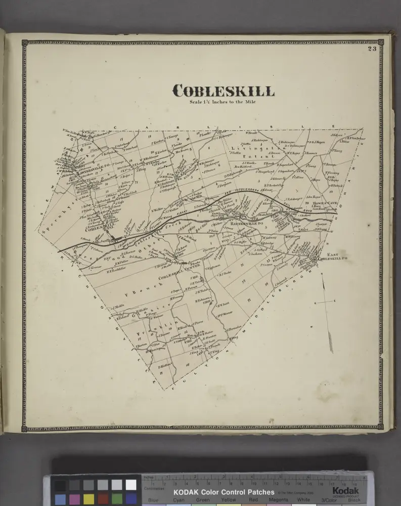
Cobleskill [Township]
1866
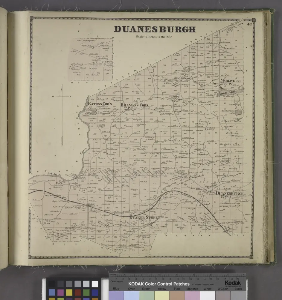
Duanesburgh [Township]
1866
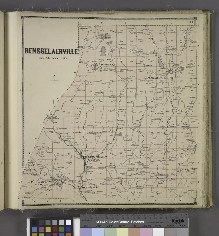
Rensselaerville. [Township]
1866
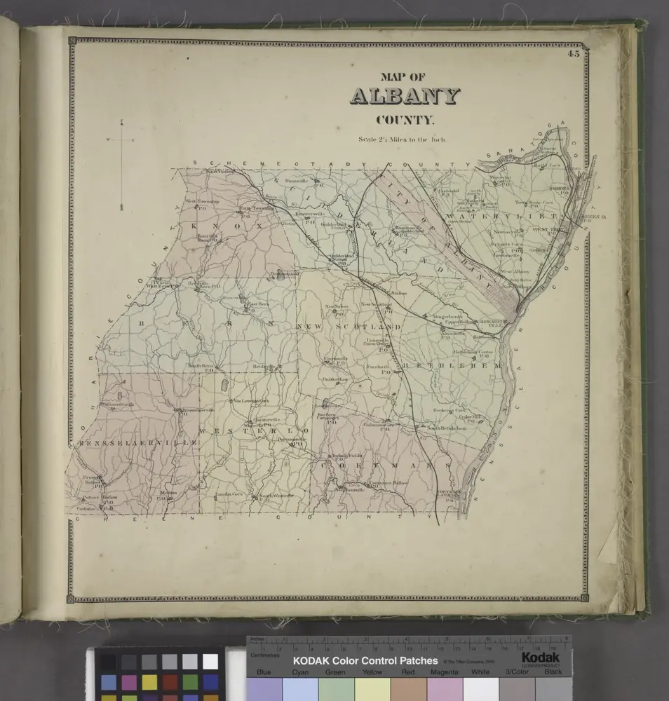
Map of Albany County.
1866
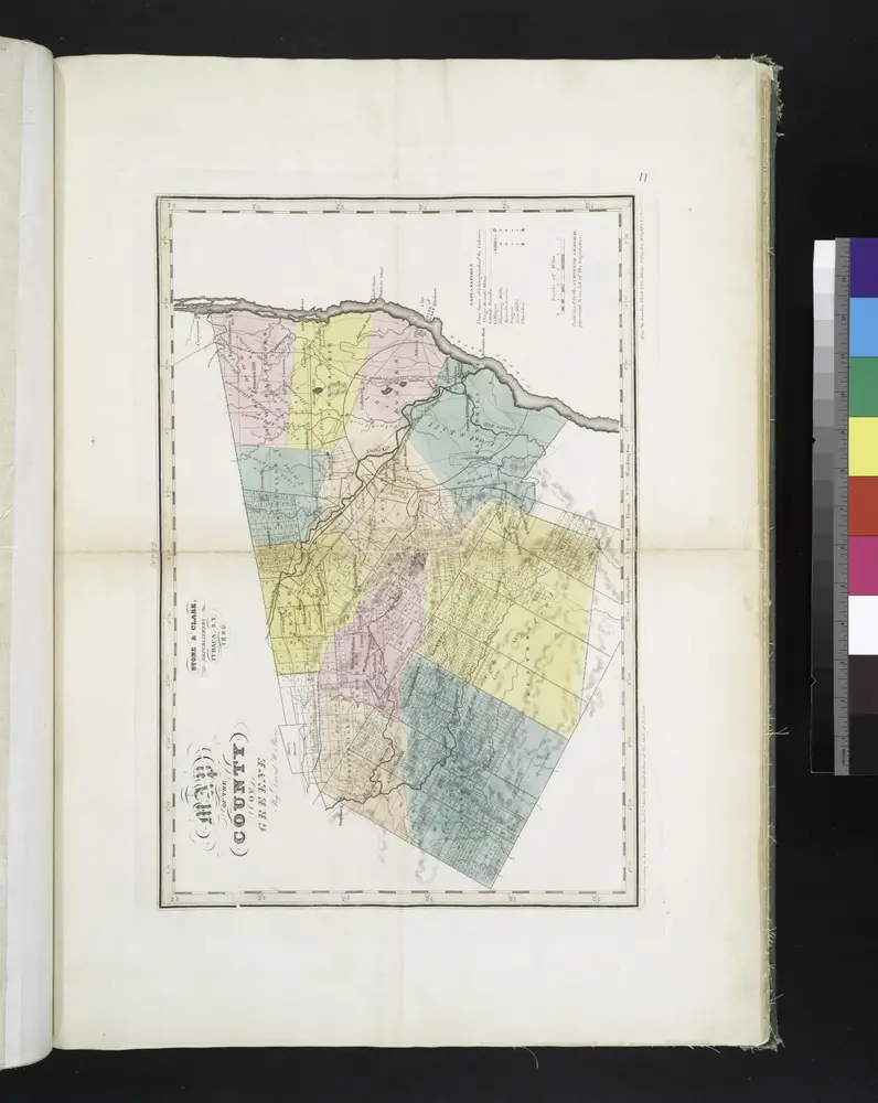
Map of the county of Greene / by David H. Burr ; engd. by Rawdon, Clark & Co., Albany, & Rawdon, Wright & Co., New York.
1829
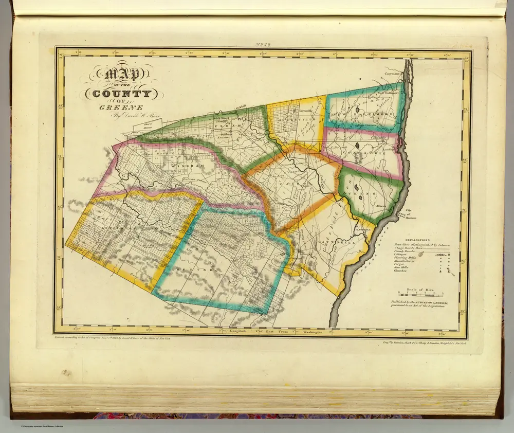
Greene County.
1829
Burr, David H., 1803-1875
1:151k
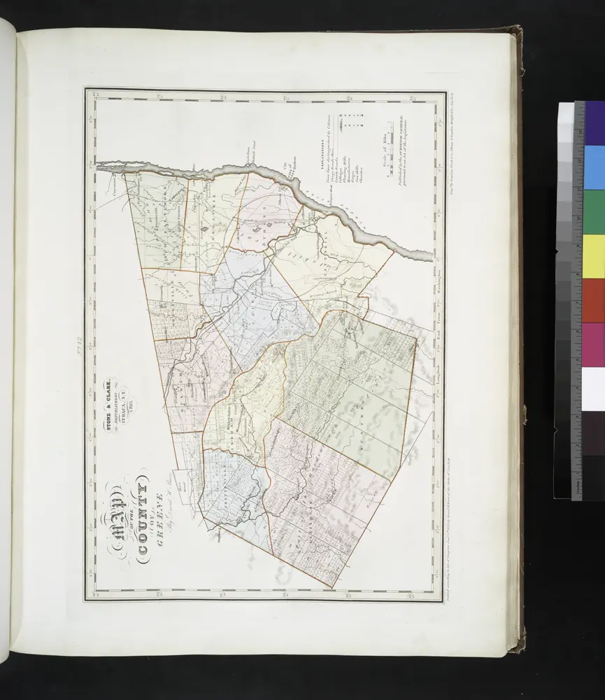
Map of the county of Greene / by David H. Burr ; engd. by Rawdon, Clark & Co., Albany, & Rawdon, Wright & Co., New York.
1841

Map of the counties of Albany and Schenectady / by David H. Burr ; engd. by Rawdon, Clark & Co., Albany, & Rawdon, Wright & Co., N.Y.
1829

