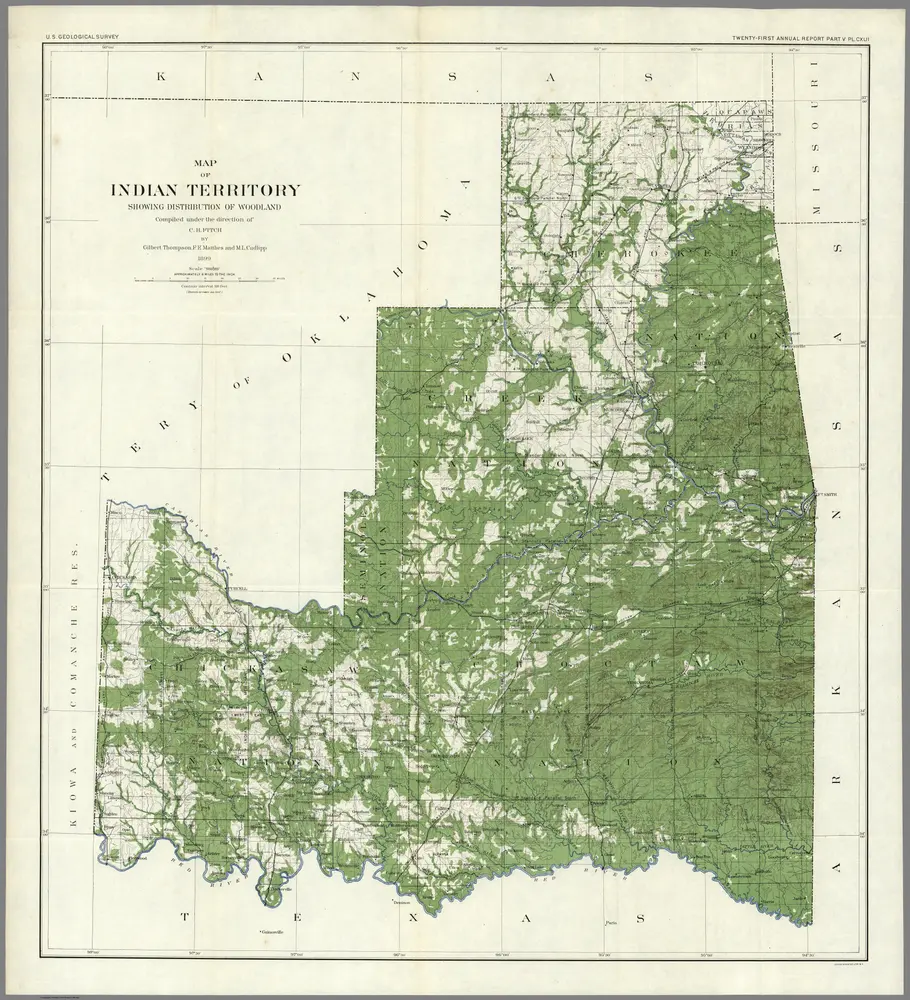
1899
Walcott, Charles D.
1:500k
1902
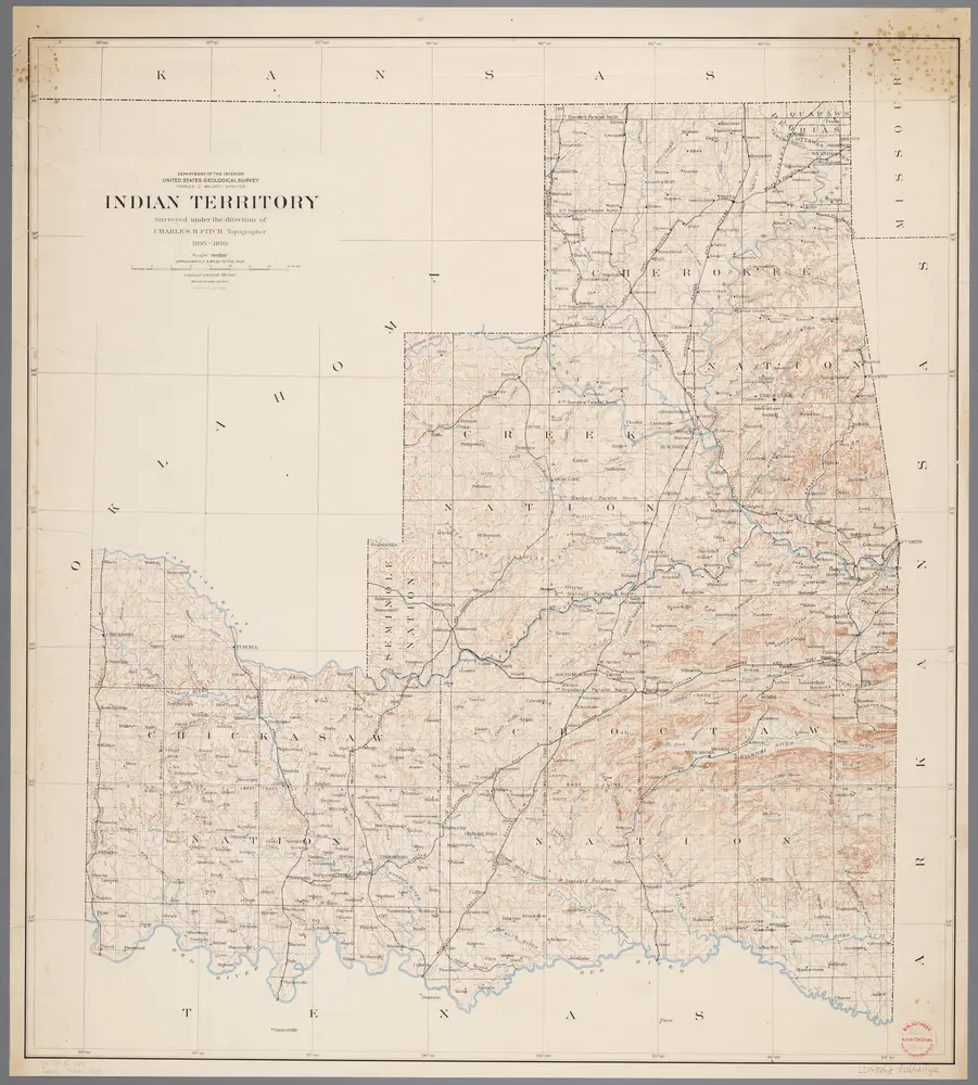
Fitch, Charles H.
1903
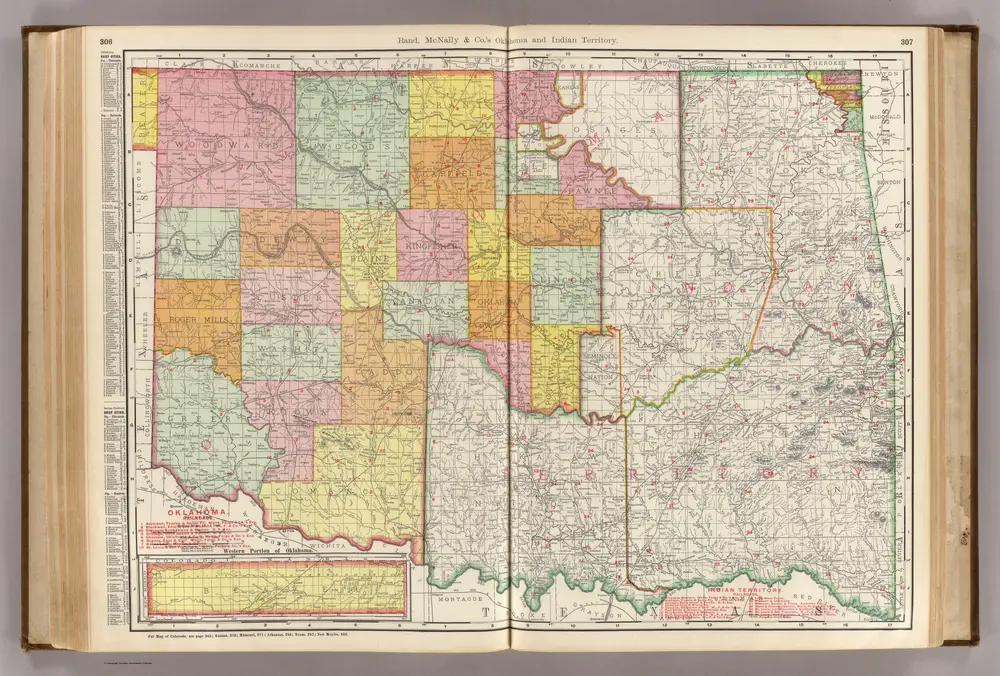
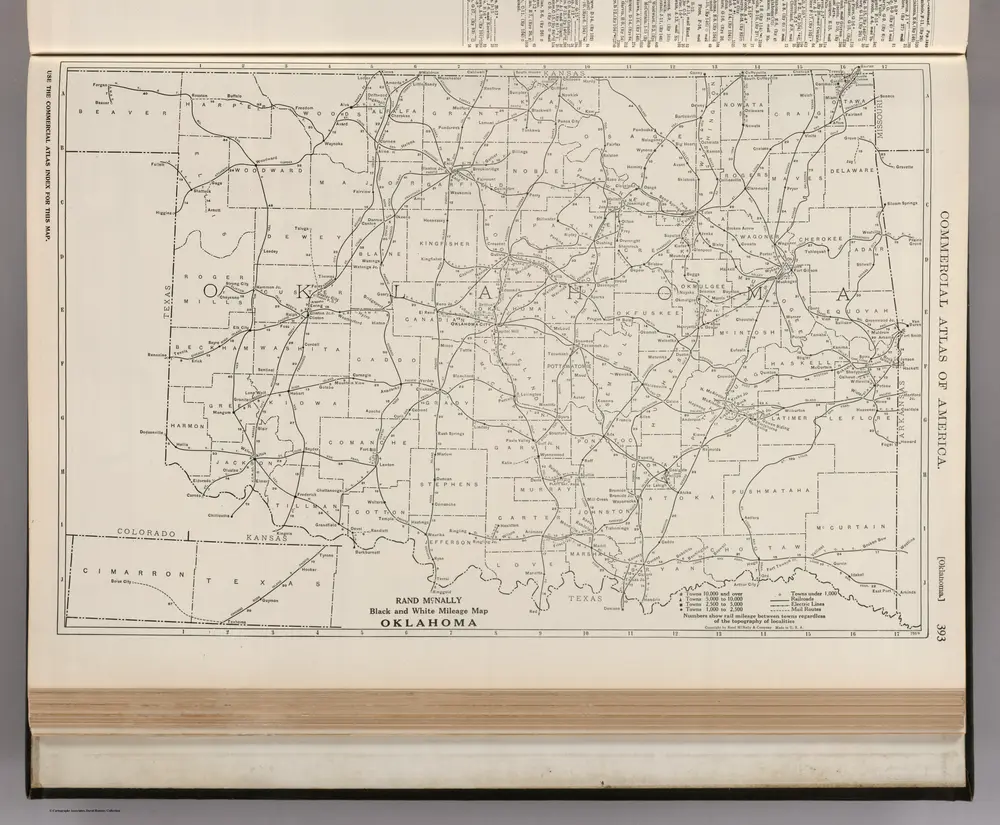
Rand McNally and Company
1:824k
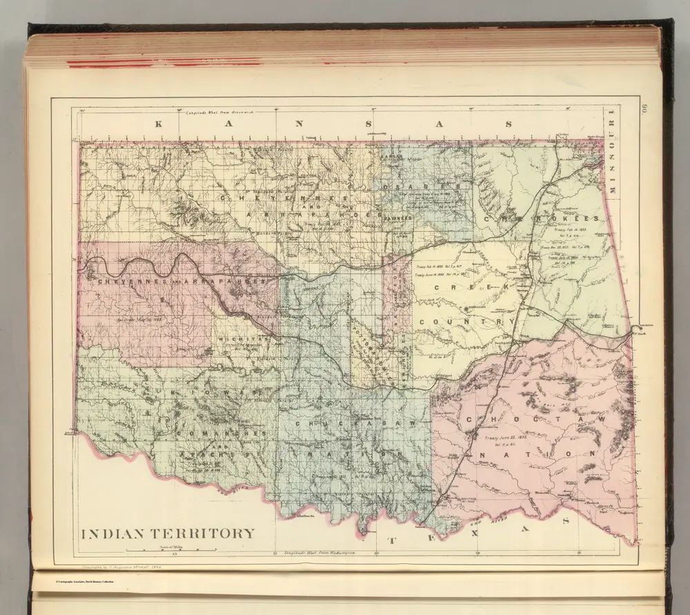
1884
Mitchell, Samuel Augustus Jr.
1:1m
1924
1886
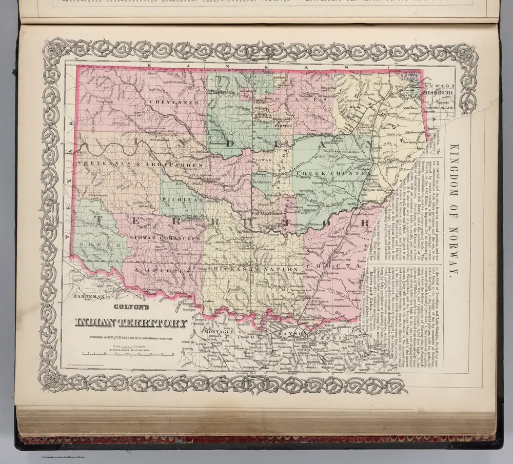
Colton, G.W.
1:2m
1873
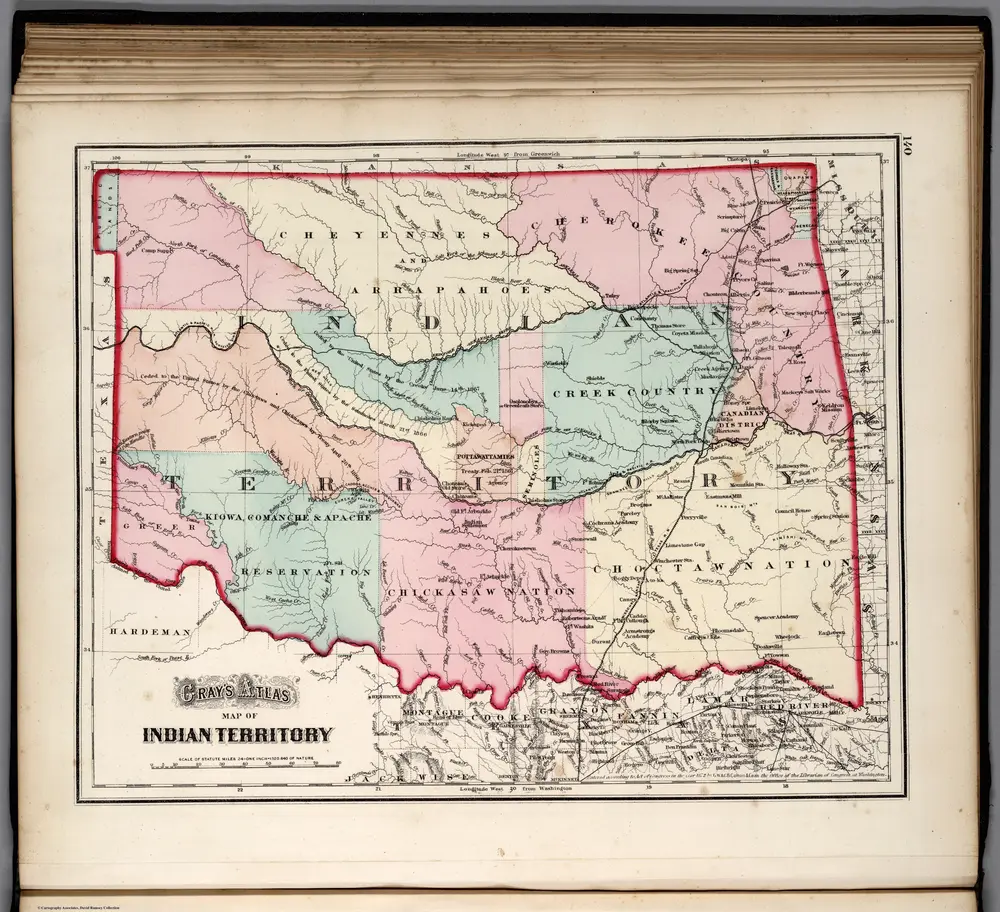
Gray, O.W.
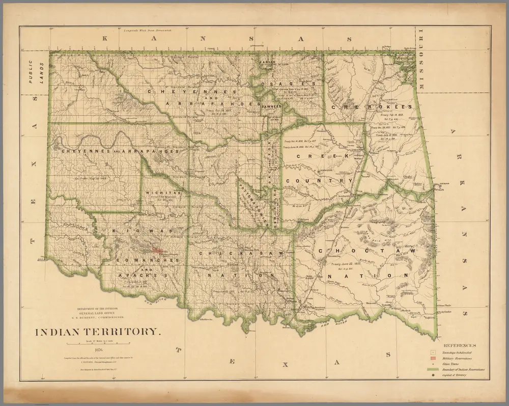
1876
U.S. General Land Office
1:760k
1879
1898