Projeto
Comunidade
Notícias
Meu aplicativo
Os meus mapas
Cataloged map
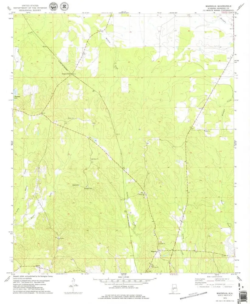
Magnolia
Ver no sítio Web externo
Ver digitalizado
Institution:
United States Geological Survey
Full title:
Magnolia
Depicted:
1978
Pubdate:
1979
Map scale:
1:24 000
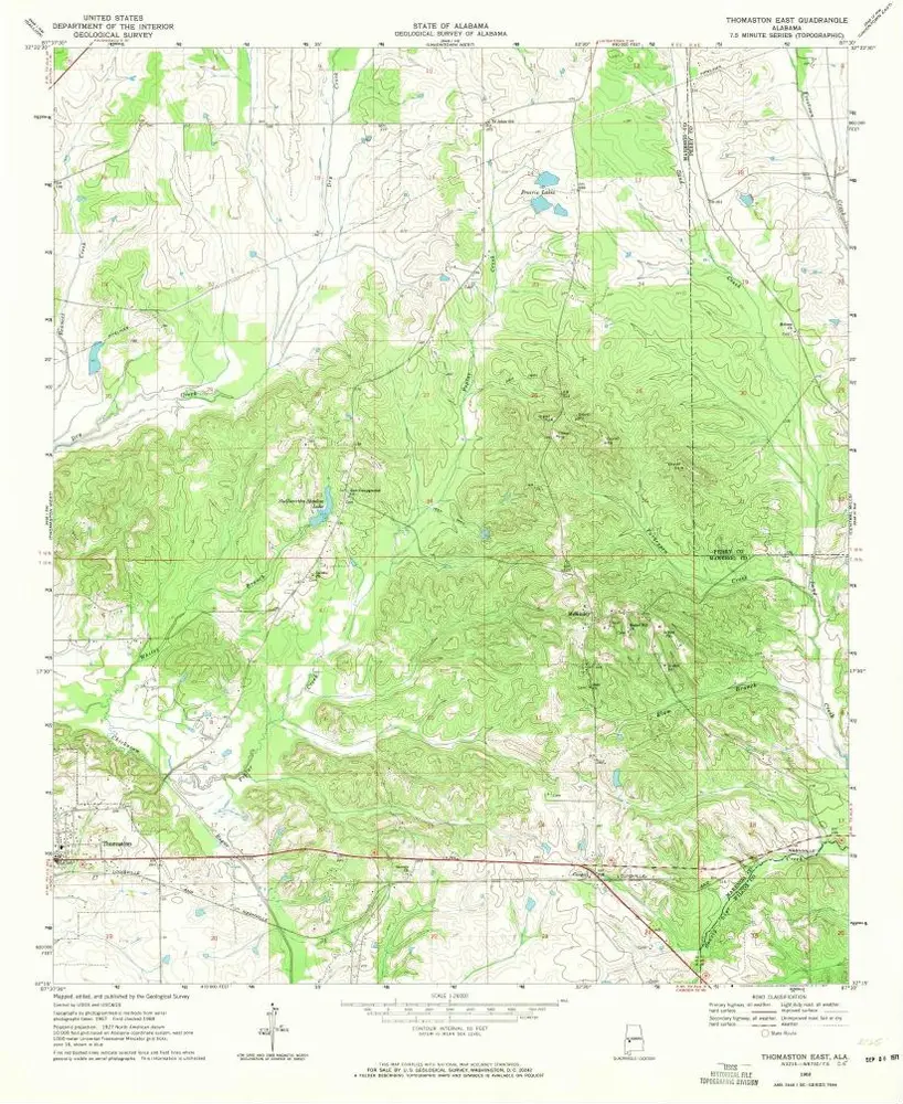
Thomaston East
1968
1:24k
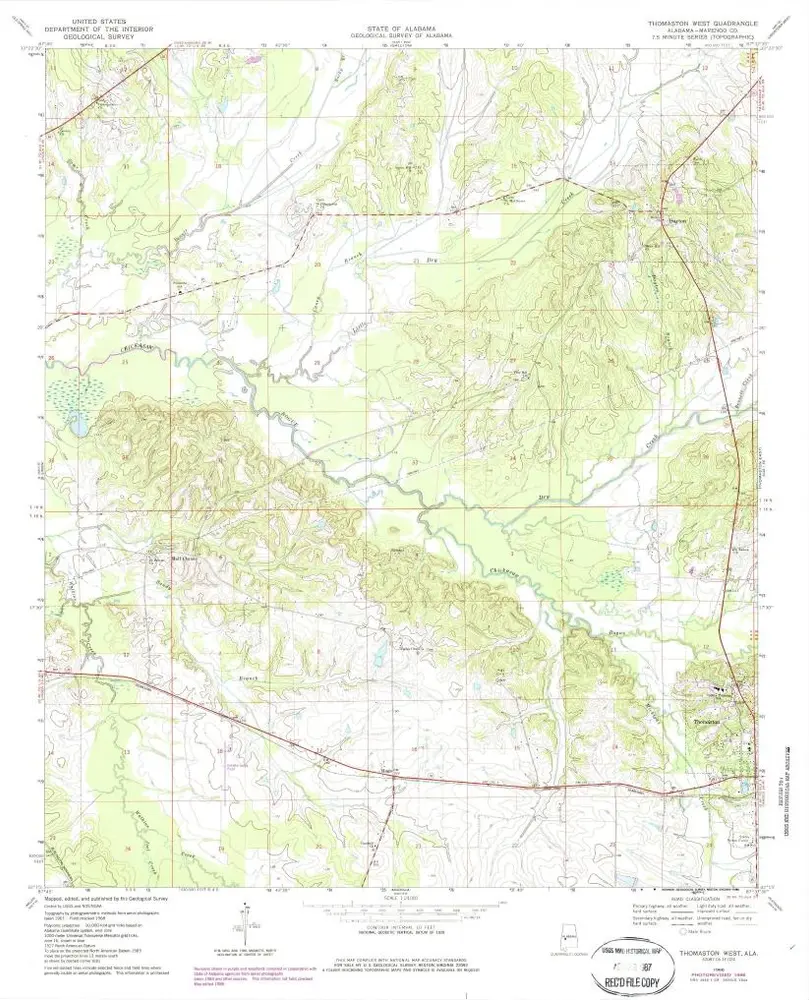
Thomaston West
1968
1:24k
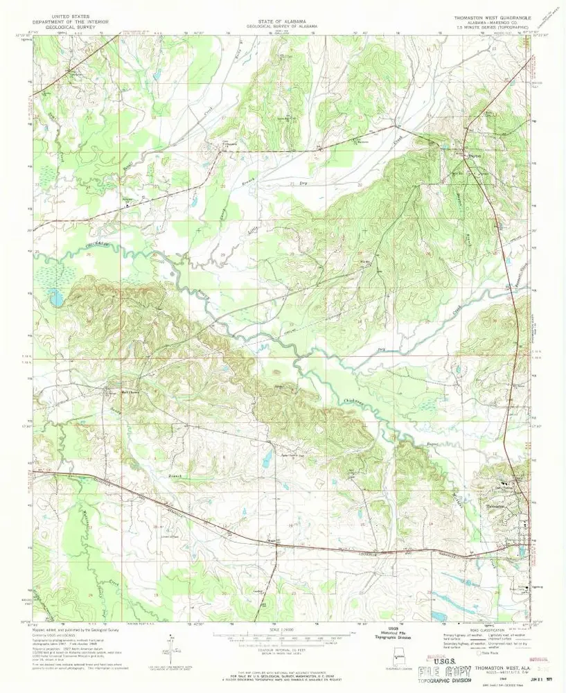
Thomaston West
1968
1:24k
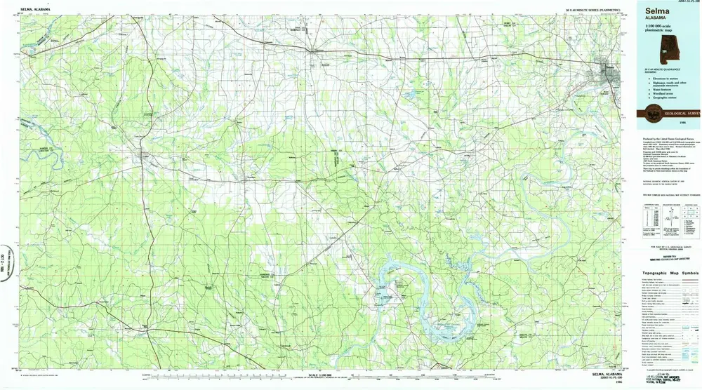
Selma
1986
1:100k
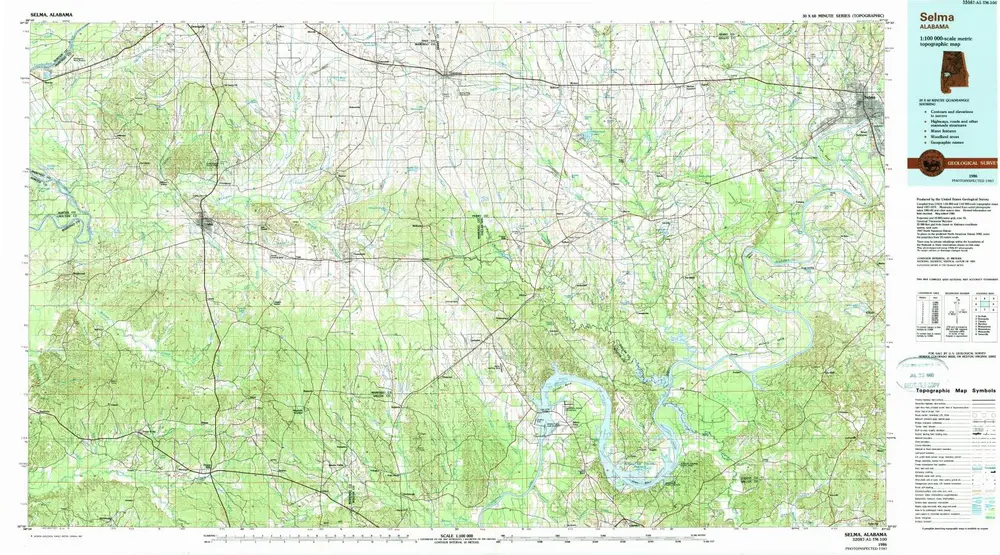
Selma
1986
1:100k
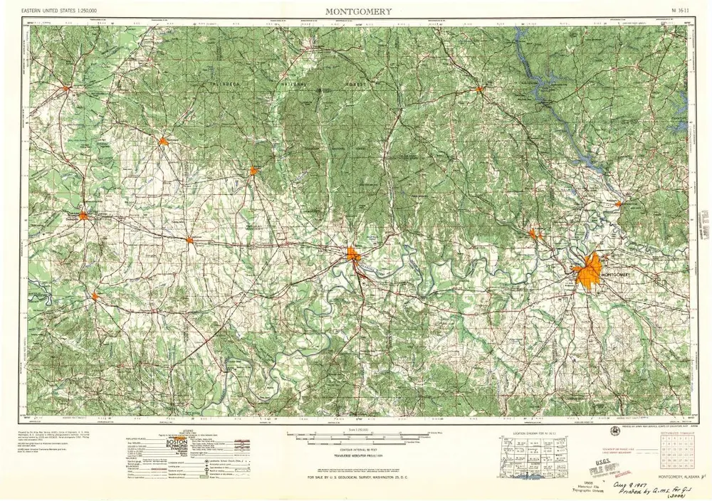
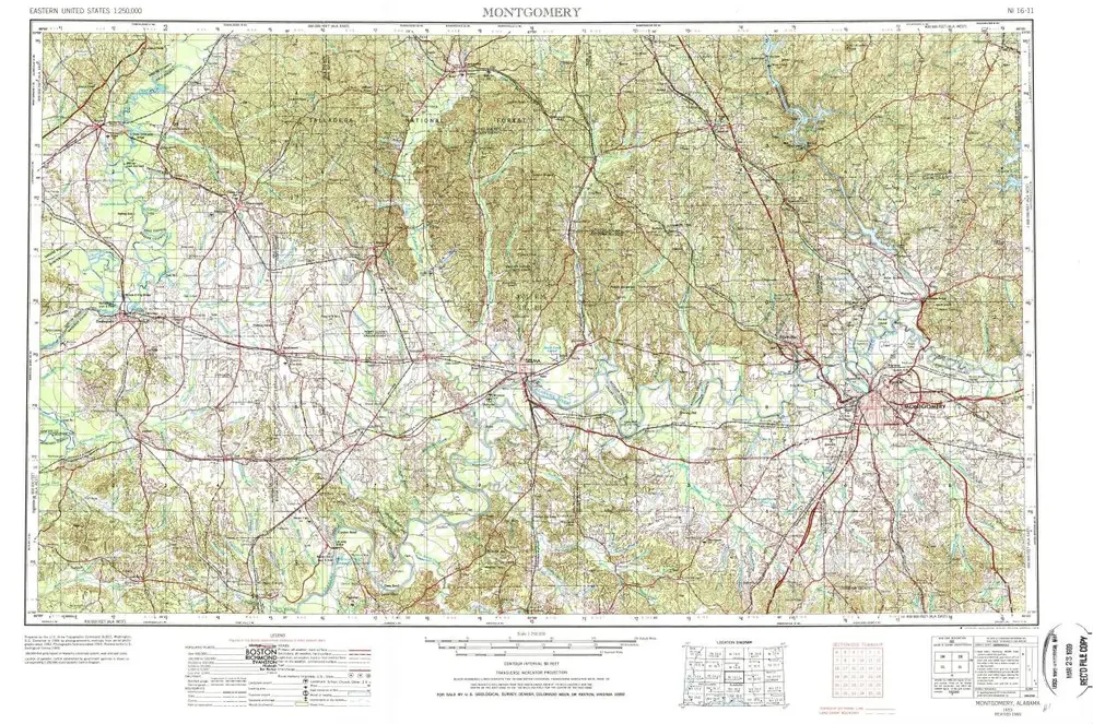
Montgomery
1957
1:250k
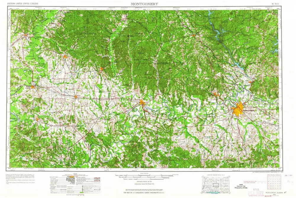
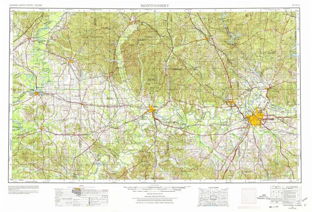
Montgomery
1953
1:250k
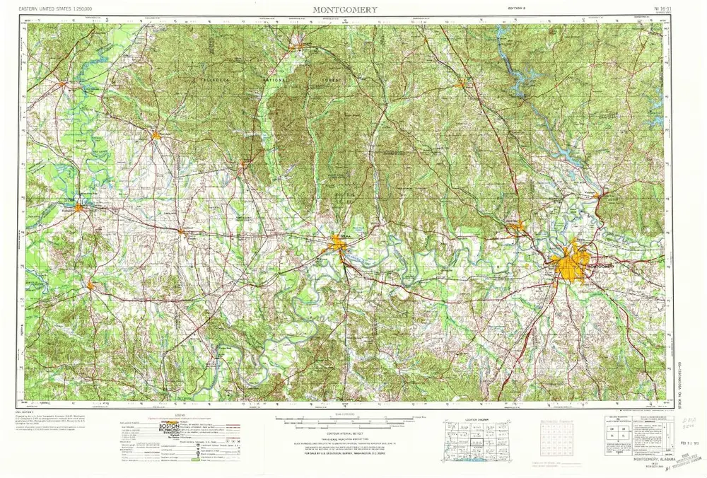
Montgomery
1953
1:250k
Montgomery
1953
1:250k
Montgomery
1953
1:250k
History