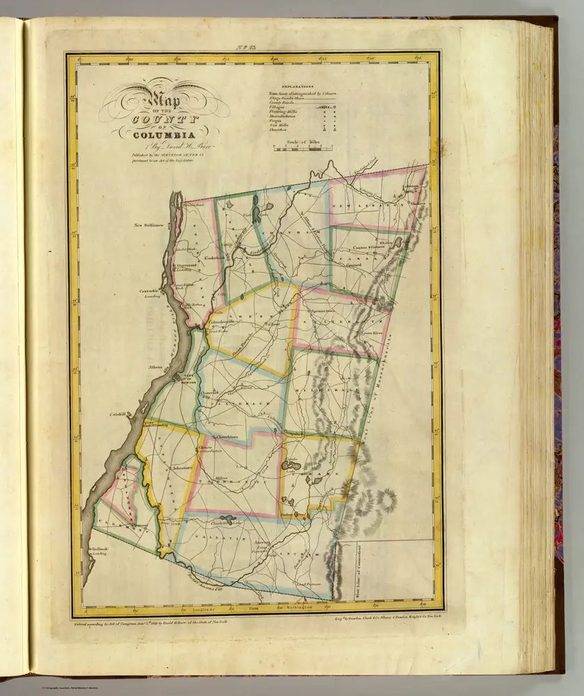


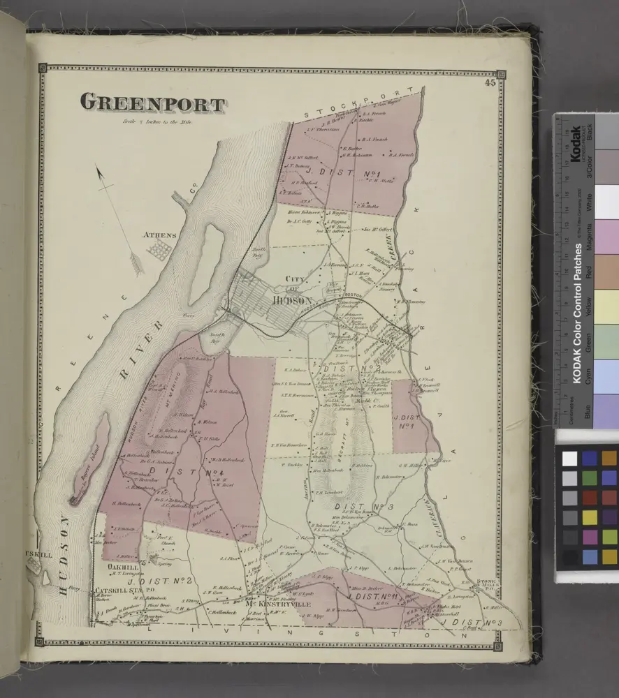
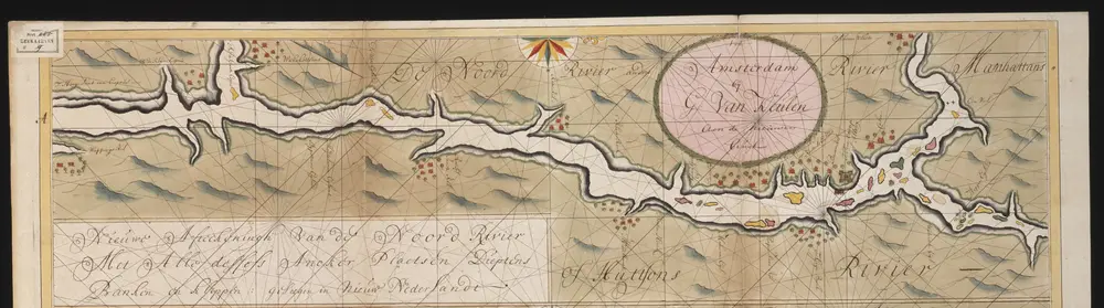
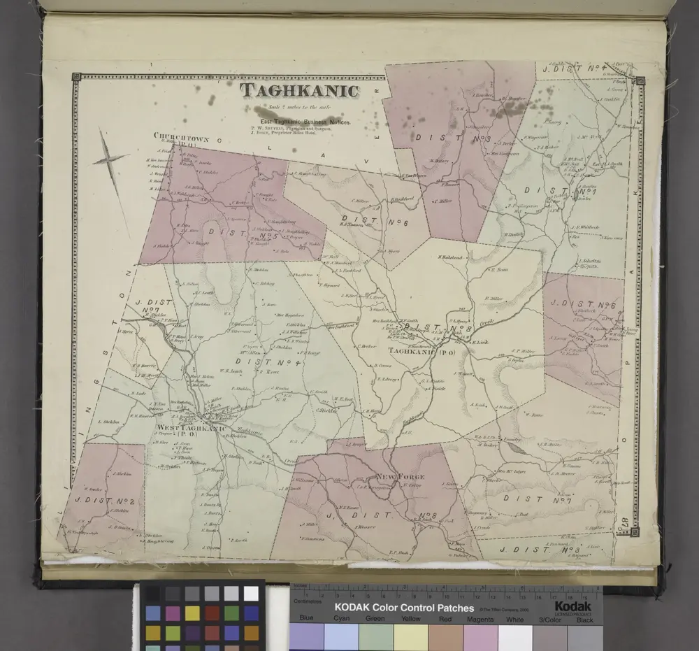
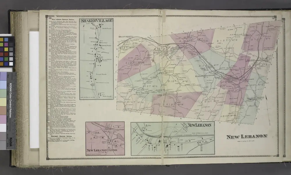
Mapas antigos de Columbia County, New York
Descubra o passado de Columbia County, New York nos mapas históricos
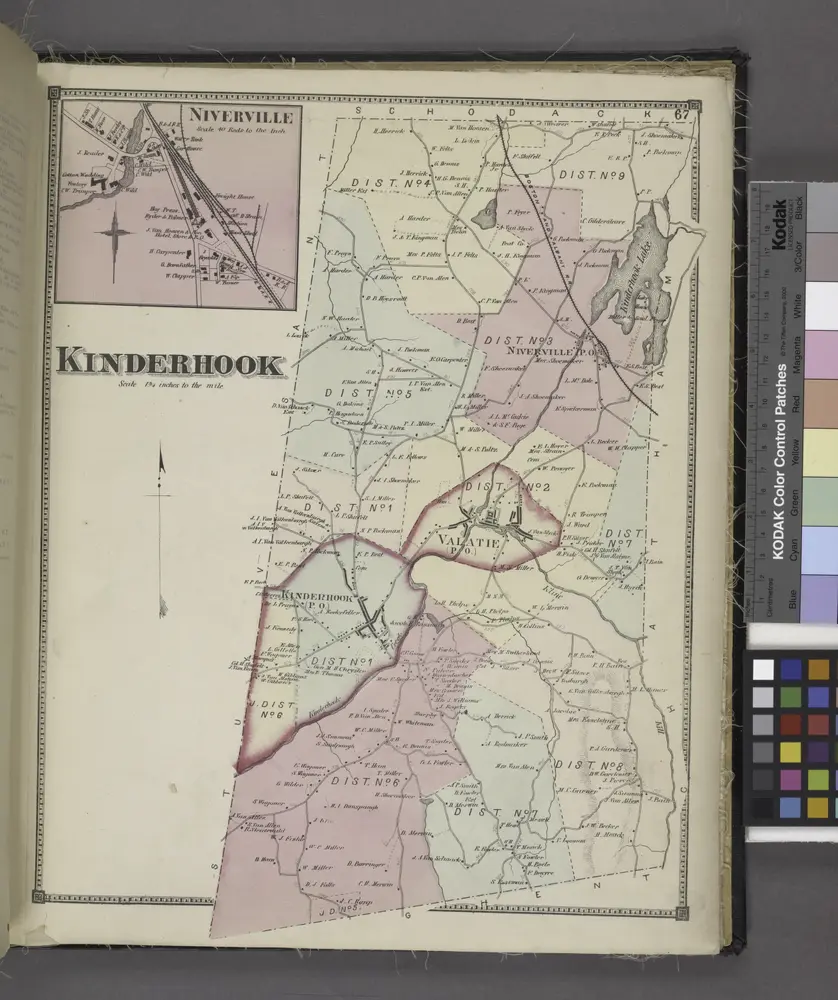
Mapas antigos de Columbia County, New York
Descubra o passado de Columbia County, New York nos mapas históricos
À procura de um Alternativa à API do Google Maps?