

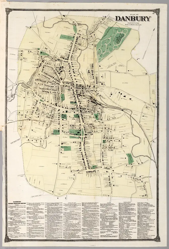
Plan (Town) of Danbury, Fairfield County, Connecticut.
1867
Beers, Frederick W.
1:5k
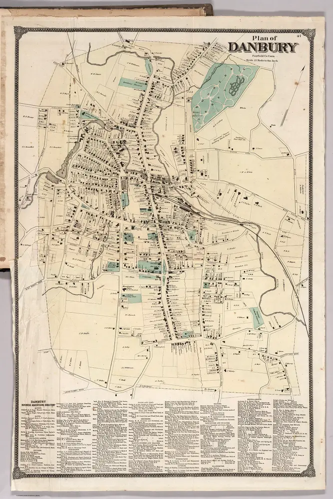
Plan of Danbury, Fairfield County, Connecticut.
1867
Beers, Frederick W.
1:5k
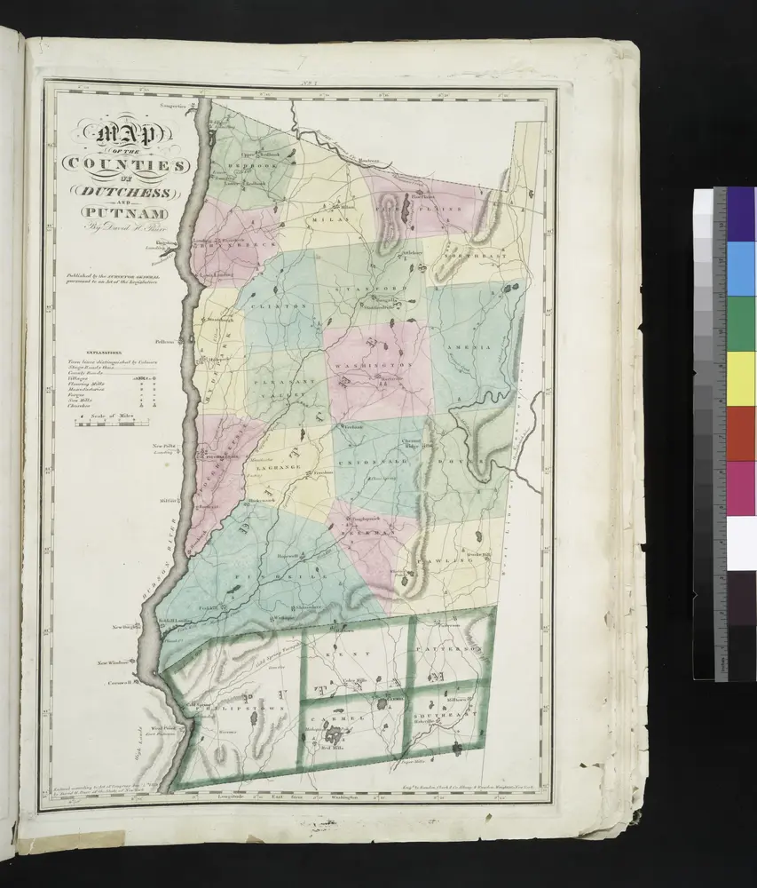
Map of the counties of Dutchess and Putnam / by David H. Burr ; engd. by Rawdon, Clark & Co., Albany, & Rawdon, Wright & Co., New York.
1829
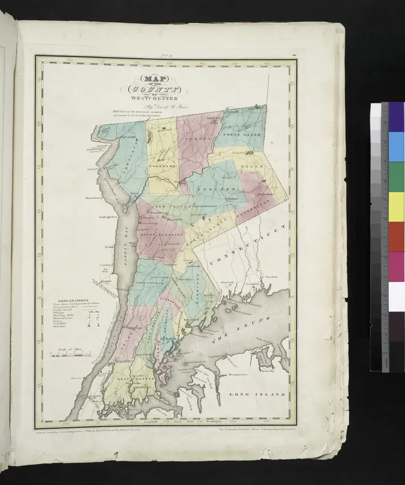
Map of the county of Westchester / by David H. Burr ; engd. by Rawdon, Clark & Co., Albany, & Rawdon, Wright & Co., New York.
1829

Map Exhibiting The ... Lines for the New-York and New-Haven Rail-Road.
1845
Anderson, P.
1:20k
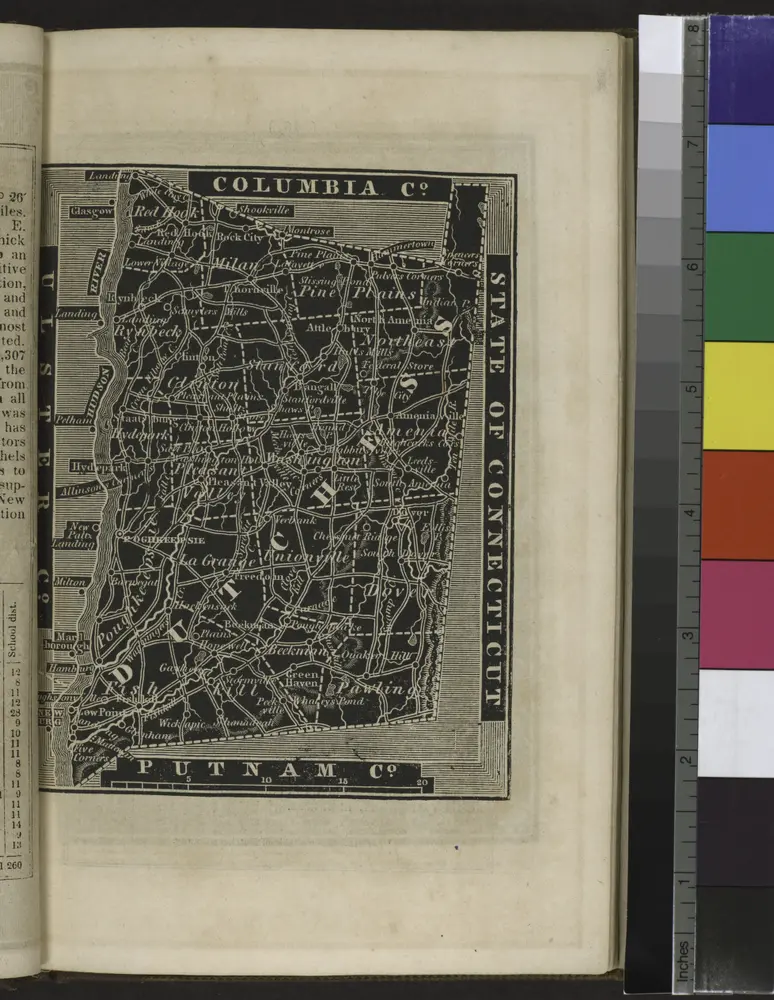
[Dutchess County].
1838
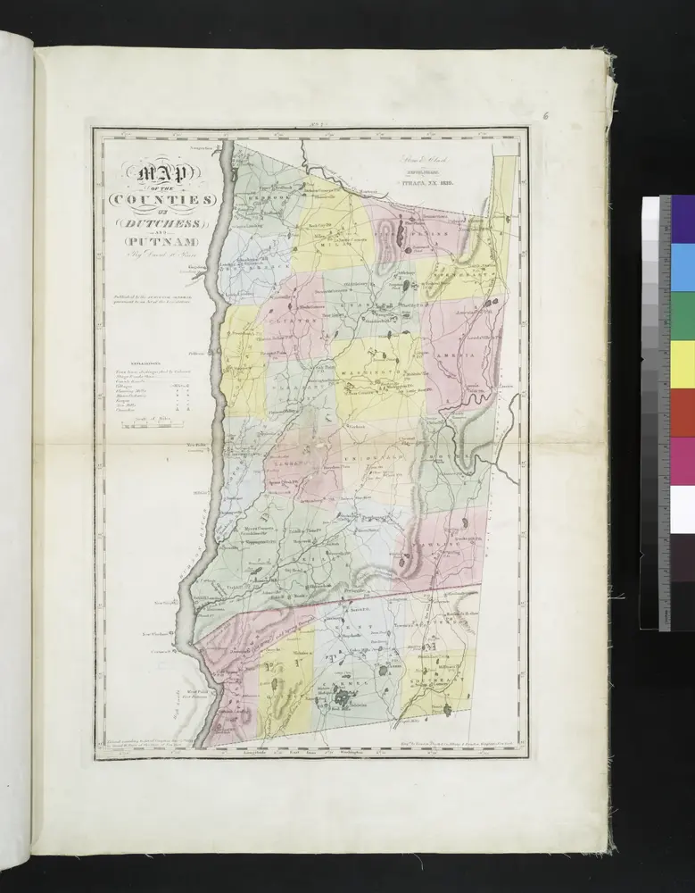
Map of the counties of Dutchess and Putnam / by David H. Burr ; engd. by Rawdon, Clark & Co., Albany, & Rawdon, Wright & Co., New York.
1829
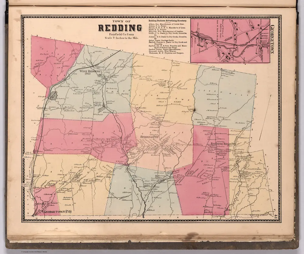
Town of Redding, Fairfield County, Connecticut. (inset) Georgetown.
1867
Beers, Frederick W.
1:32k
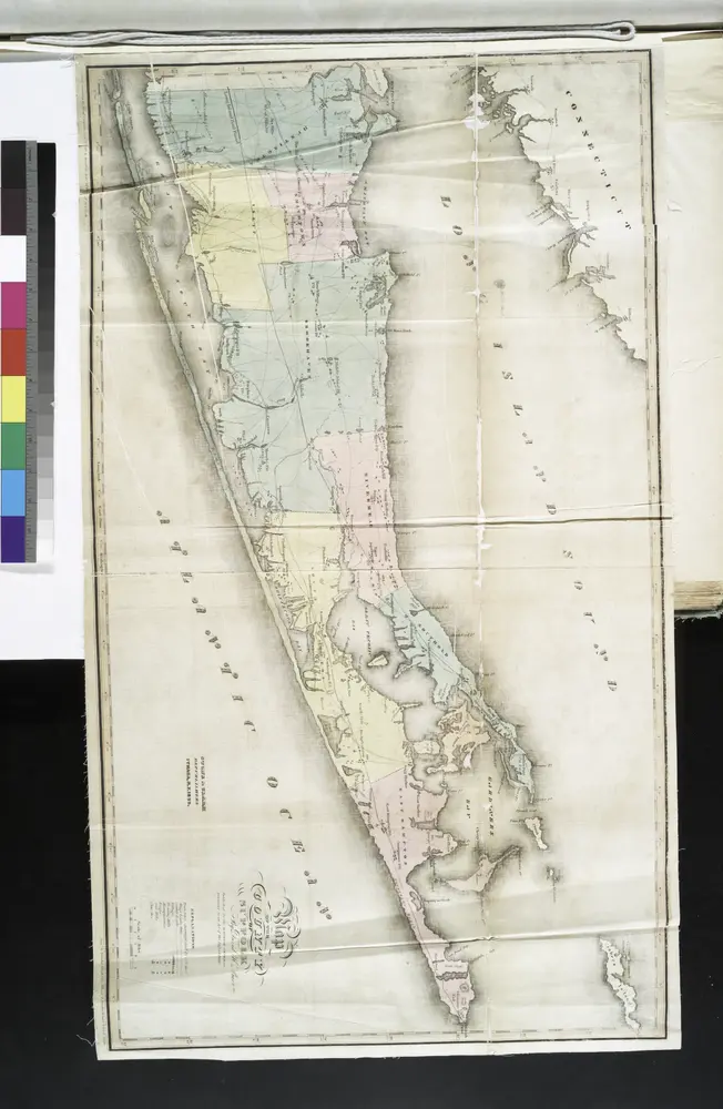
Map of the county of Suffolk / by David H. Burr ; engd. by Rawdon Clark & Co., Albany, & Rawdon, Wright & Co., N. York.
1829
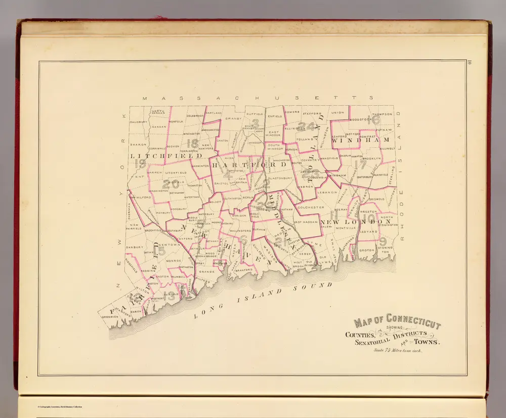
Senatorial districts.
1893
D.H. Hurd & Co.
1:475k

